The idea for this trip came from a request of a friend (Nikki) of my daughter Courtney to retrieve a minivan from the Bay area in California and drive it across the country to Catskill NY. Nikki just had a baby and they needed a larger car. Her uncle was donating the vehicle, and he lived in Castro Valley.
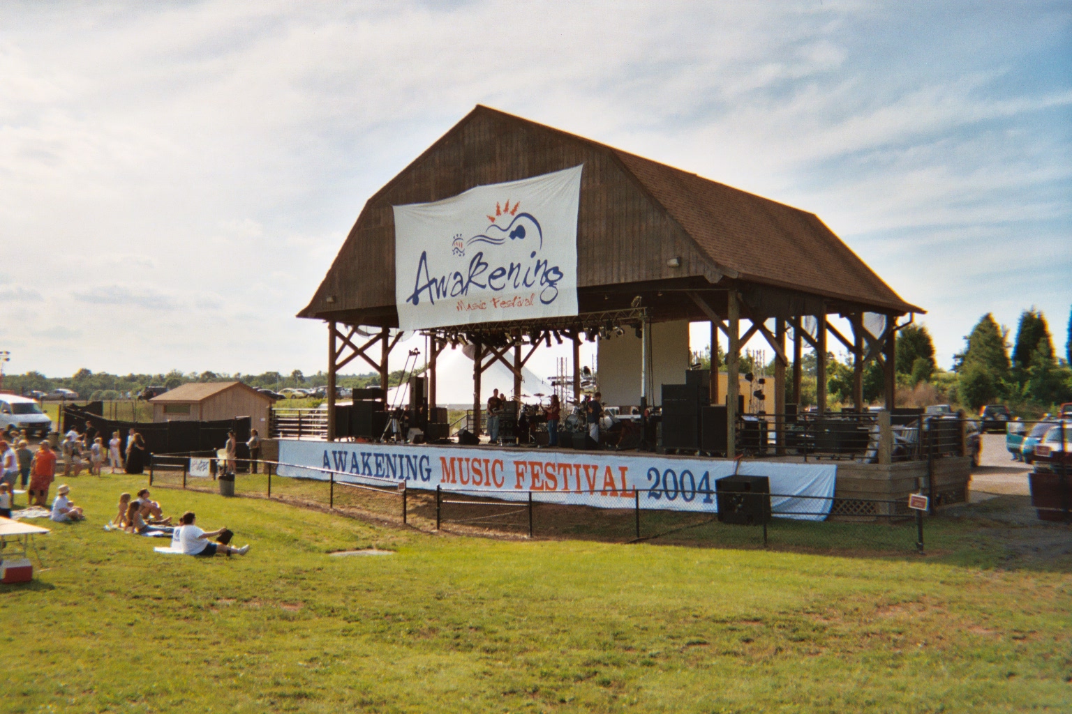
Before flying to the West Coast, the plan was for me to fly to Dulles and catch up with Courtney at an outdoor music festival sponsored by the church Courtney was attending in Ashburn Virginia, CrossCurrent. Courtney was playing bass in the Melanie Moore Band, and they were performing at the festival. The next day we attended church together, and then ran errands in preparation for departure from Dulles to Oakland on Monday.
Saturday, June 12 – to Leesburg and Awakening Festival
Vonnie gave me a ride at 7:00am to the Wollaston T; I’m taking the big and little roller suitcases, plus my back pack. Red Line to Green at Park, Green to Blue at Government Center; brand new Airport Station. Shuttle bus #33 waiting for me, for ride to Terminal D. Short line at AirTran counter to check bag, but fairly long line for getting through security. Hoping to meet Jeremy and Shay as they arrive from Akron/Canton. Lots of people exiting — oh, no: maybe I missed them. At top of escalator, turn right. There he is! Have great talk with Jeremy and Shay. Jeremy had been totally surprised.
Very short flight to BWI — 57 minutes. However, very long wait for luggage — nearly 30 minutes. I don’t want to miss Courtney’s band at the Awakening festival. Long ride to car rental terminal far from airport. After several false starts, I get on I-95 south to the Capital Beltway. At about Georgia Ave, we slow to a crawl — continue in that fashion for the next 20 minutes. It was a five-car left lane accident at the I-270 exit. Once by that, smooth sailing to I-66. Head west towards Manassas. Get off at exit 52 – route US29. Head west on US29 to left turn onto Bull Run Road. Follow signs for the festival. Road after a while is actually is right next to south side of I-66.
At festival, doesn’t take too long to locate Courtney. Meet a number of her friends from CrossCurrent. Find out Courtney isn’t going on until around 7, so I decide to go to Manassas shopping area and look for a digital camera. Check out Circuit city and Best Buy, but decide on nothing. Get call from Courtney that now they are going on in 45 minutes. Decide to take I-66 back, but now it overshoots the festival by several miles, so have to back-track. Get back in plenty of time however, as there are delays.
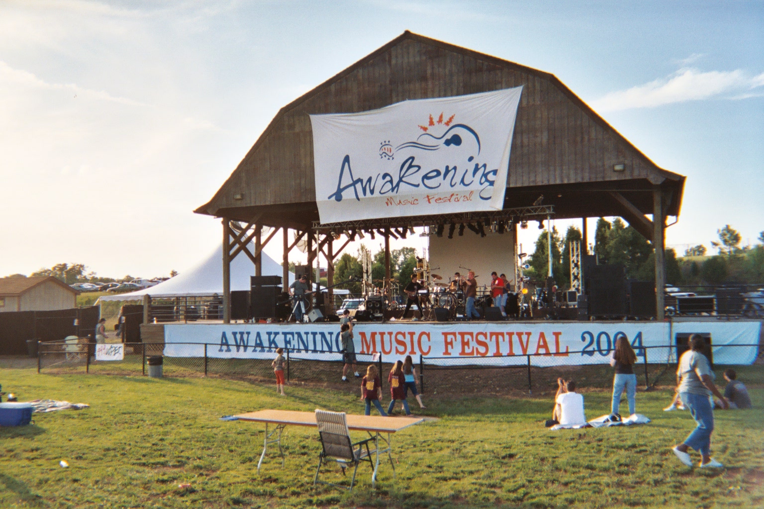
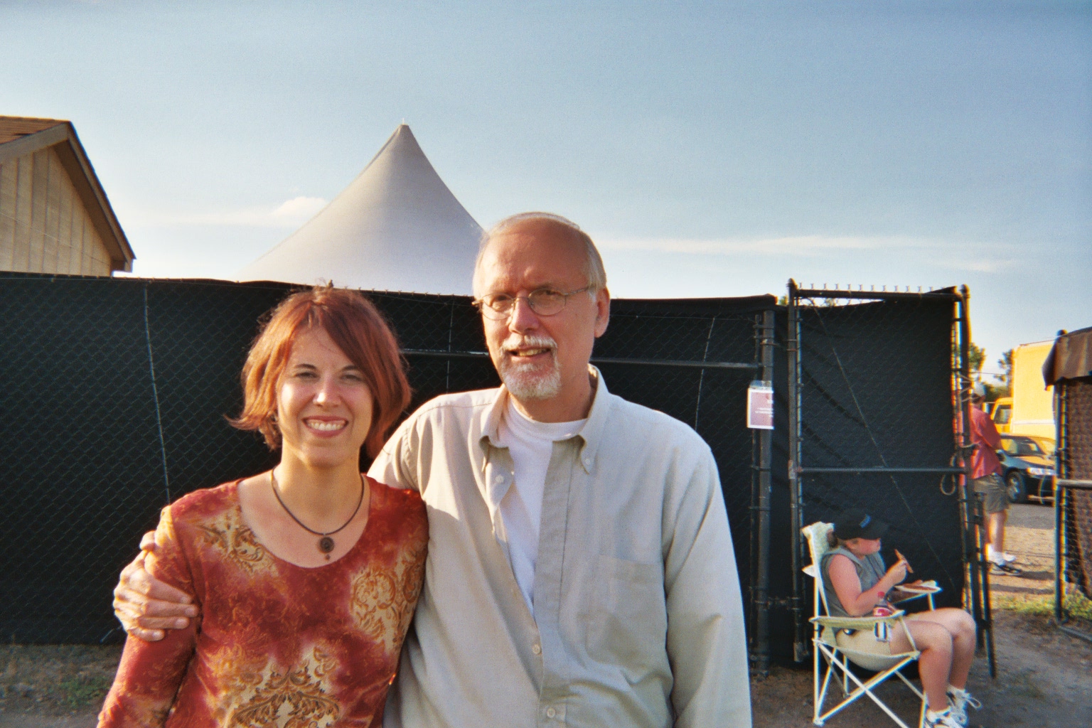
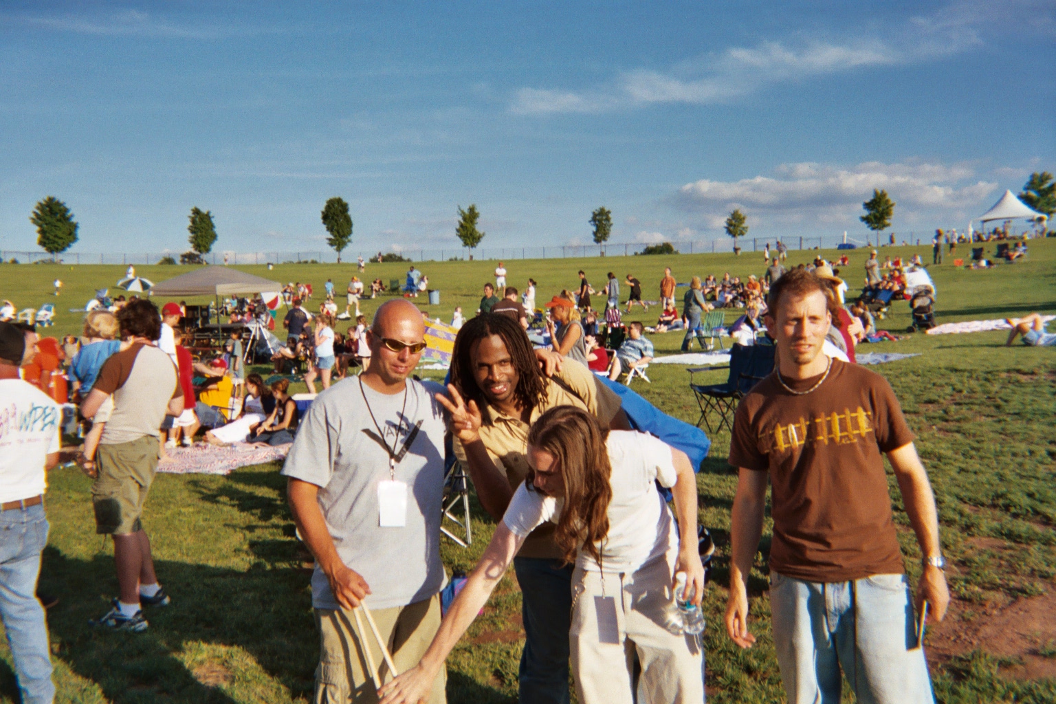
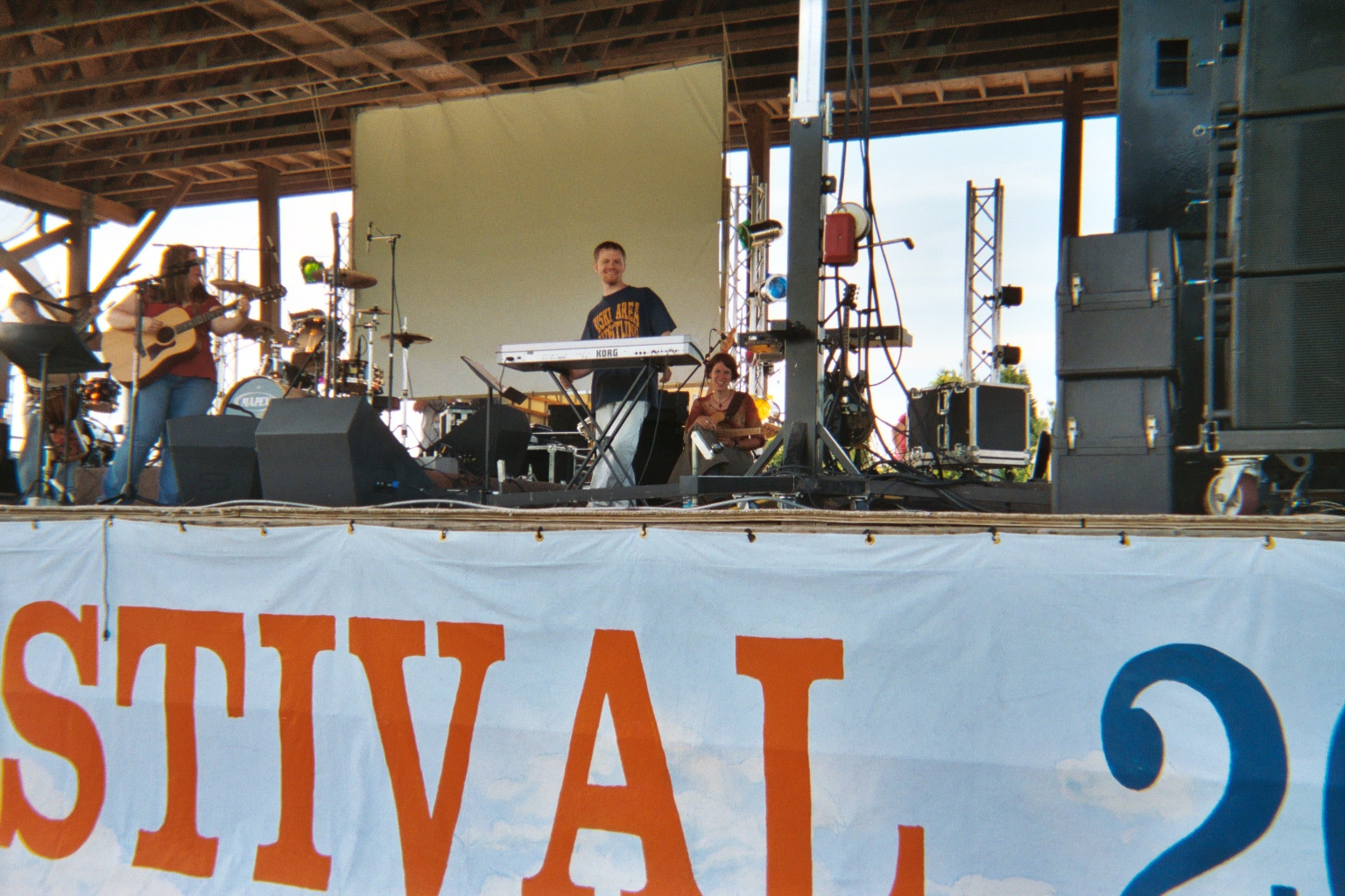
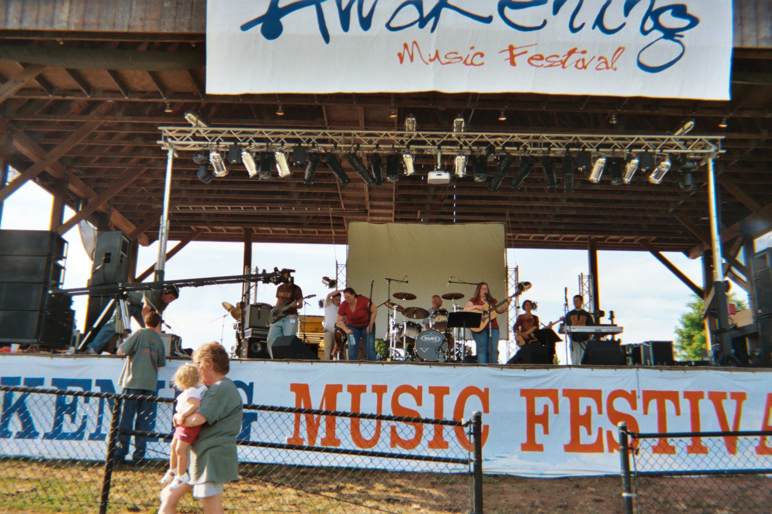
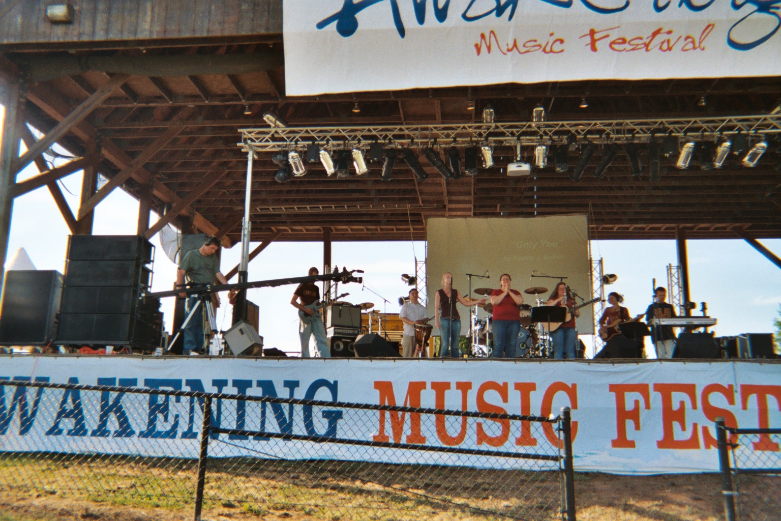
Courtney plays bass in the Melanie Moore band. Some of Courtney’s friends invite me to join them really near the front, so I do. Melanie Moore plays for over an hour — a 10 or 11-song set. It’s great fun to watch and listen to. Their music in worshipful as well. At one point, a young woman comes on stage, and recites a dramatic poem about the Lord, complete with varying pitched voice, and meaningful gestures: it is riveting. Get to talk with the “star” bass player afterwards. Then we settle in for the next band, called Ransom. They are very good, with a saxophone added to the usual electric and bass, and drums. Plus the lead singer occasionally plays acoustic, keyboard and trumpet. They mix in a few “secular” pieces. By the time of the final act, Big Daddy Weave, we are both pretty tired, and it’s getting a bit cool. Plus we have to drop off my rental car at Dulles. We do so, and get to Courtney’s place at about 11:30. Exhausted, plus we have to get up at 6:30 for a 7:00am rehearsal at CrossCurrent, where Melanie Moore is leading worship.
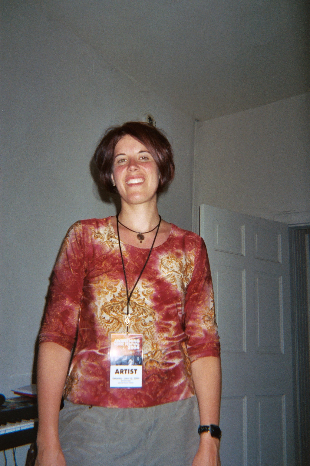
Sunday, June 13 – Church at CrossCurrent and King of Kings
Up at 6:10 (that was a short night!), and off to CrossCurrent by 6:35. We arrive at 7:02, and there’s only one other band member (Sean, the drummer) there. Finally go in to this large church and Christian School complex. CrossCurrent is a post-modern, seeker-friendly church, an off-shoot of the main church: Christian Fellowship Church, of Ashburn VA. The “room” where they meet has a very large platform for music and drama. And there are about 80 eight-seat tables.
While the band is doing sound checks and generally getting frustrated, I help (at Courtney’s suggestion) several of the staff set up the tables for church school, which begins at 9:00. Once the band is done with setup, Courtney and I go into the main church looking for lost and found, and a possible sweater for her — it’s a little cool. Nothing, however. We sit in on a bit of a rehearsal for the main church service, in a contemporary sanctuary with a balcony, probably seating 1000 or so. The worship leader was at the piano, singing and directing. There were six worship team singers, drums, bass and guitar, plus a small orchestra, with brass, and I’m not sure what else. Plus a choir of about 40 or 50, standing, singing from memory, not wearing robes. The choir members we mostly in their 40’s, it looked like to me. The music was all contemporary worship music, done very smoothly. It was very professional.
It was back to the CrossCurrent area for Courtney and me, and it was time for the “team” for the 11:15 service to gather for prayer. The ensuing prayer meeting lasted about 20 – 30 minutes, and there were about 30 people in attendance. Then it was back into the auditorium with the 80 tables. A buffet breakfast spread was served, with sweet rolls, bagels, fresh fruit, yogurt, vegetables, dip, and drink. People picked up the food, and took it back to their tables. The service began with Courtney’s worship team doing about four numbers. Then a video was shown where young people were asked what they thought about heaven and hell. Then the pastor — probably around 40 — preached a sermon on heaven and hell. It was very good. An altar call was given, and some people came forward, as Courtney’s band played, and people sang Holy, Holy, Holy. After announcements and benediction, the band played one more number, which more or less fell apart, since the monitor speakers were not working.
Following church, we talked with people for quite a while — me with Betsy and Ron Wede. Courtney laid hands on Betsy and prayed for her healing. After that, we went outside and talked more, and Brian and his wife took Courtney’s truck for a test ride — maybe they will buy it. Many of the church attendees were going over to the ball field to play softball.
We left there and stopped at a Del Rio restaurant in Leesburg for lunch. After that, we drove over to Harpers Ferry, or actually on the Maryland side, to the shelter where Larry had stayed for a while after his conversion. We talked with the hosts (Ray and Loretta) for a while, and also a middle-aged hiker. We left there and went over to Harpers Ferry and got an ice cream cone, and then walked up to the outfitters place where Baltimore Jack was staying. We talked to him for a while, and then left to head back to King of Kings where Courtney had a rehearsal at 5:30 for the evening service.
We were running late, and so we wanted to call ahead and let Bill know. However the cell phone was in costly roaming mode, so I hesitated to call. About the time we got onto Hillsboro Road, we entered the Sprint zone, so I dialed the number. I gave the phone to Courtney as it was ringing, and she slowed down just a bit. A moment later around the bend in our direction came a fast-moving large pickup pulling a long trailer, swung by centrifugal force into our lane. There was no place to go: no shoulder at all. However the truck swerved back in his lane, and Courtney swerved to the right-most part of our lane: we missed by inches. It was God who protected us!
We arrived at King of Kings, and shared our story with some there. Courtney proceeded to participate in the rehearsal as the crowd gathered for the evening service, in which a woman with prophetic gifts was to be speaking. After the Worship Team led in about five of six songs, the speaker talked for about 45 minutes. She had an apprentice with her from Morningstar, and this younger woman Tara gave a number of personal prophecies, including an on-target one for Courtney. After the service, some good “last” conversations with Pastor Jimmy, and worship leader Bill. We left the church and drove over to Dulles, where I rented a car for use on Monday — Courtney was very tired. Then it was back to Courtney’s apartment for sleep.
Monday, June 14 – To Oakland
Breakfast “downstairs” at the restaurant; then we needed to do some last minute shopping. We looked for a side street to park Courtney’s truck, but couldn’t, so we ran our errands together. Then after returning to her apartment for packing, I drove to Wal-Mart and bought a 10,000 BTU AC for Courtney’s apartment. Back to the apartment for the final packing; load the rental car, and then leave in two cars, looking again for a side street for parking for her truck. This time we were successful. Then it was on to Dulles, returning the car, and taking the shuttle to the terminal. After checking our bags, the security passage was pretty uneventful, and we then took the Dulles people-mover to terminal B to wait for our Jet Blue flight to Oakland. We purchased some semi-fast-food, and had a lunch before boarding.
The flight to Oakland was uneventful, although of course long. Upon arrival at Oakland, we walked a fair distance until we found Nikki’s uncle and wife at the baggage claim area. After friendly greetings and collecting our luggage, we set out for the long trip to their home in Castro Valley, off of I-580, southeast of Oakland. They live off of Five Mile Canyon Drive, in a lovely new California-style home.
After loading our luggage into the guest room, Courtney and I took Barry and Nikki’s van and drove to San Francisco, crossing the Bay Bridge. We found a legal parking spot not too far from Chinatown, and set out walking. We were looking for something to eat, and also possibly some gifts. We must have walked along this street for several miles, going into shops, and looking at menus. Ultimately however, we didn’t eat anything. On the way back to our car, we saw a Cable Car on a cross street, and we jumped aboard for one block, jumping back off before they asked us few money. Back to the car and some driving around to wonderful vistas — it’s now about 10pm PDT — and then a circuitous route back to I-80 and the Bay Bridge. On the Oakland side, we take the wrong route, and head North, rather than South in I-580. After realizing it 10 or so miles later, we turn around and reverse directions, arriving back to Nikki’s uncle’s house after 11pm (2am EDT!).
Tuesday, June 15 – To Yosemite
By the time we get up, Nikki’s uncle and wife had already left for work, and we were left with his son, and his mother. She has made breakfast for us, and we ate, and talked with the uncle’s son — an 11th grader, and a nice young man. After breakfast, we pack everything, and we’re off! First stop is a Rite-Aid for some supplies, and also a supermarket for groceries.
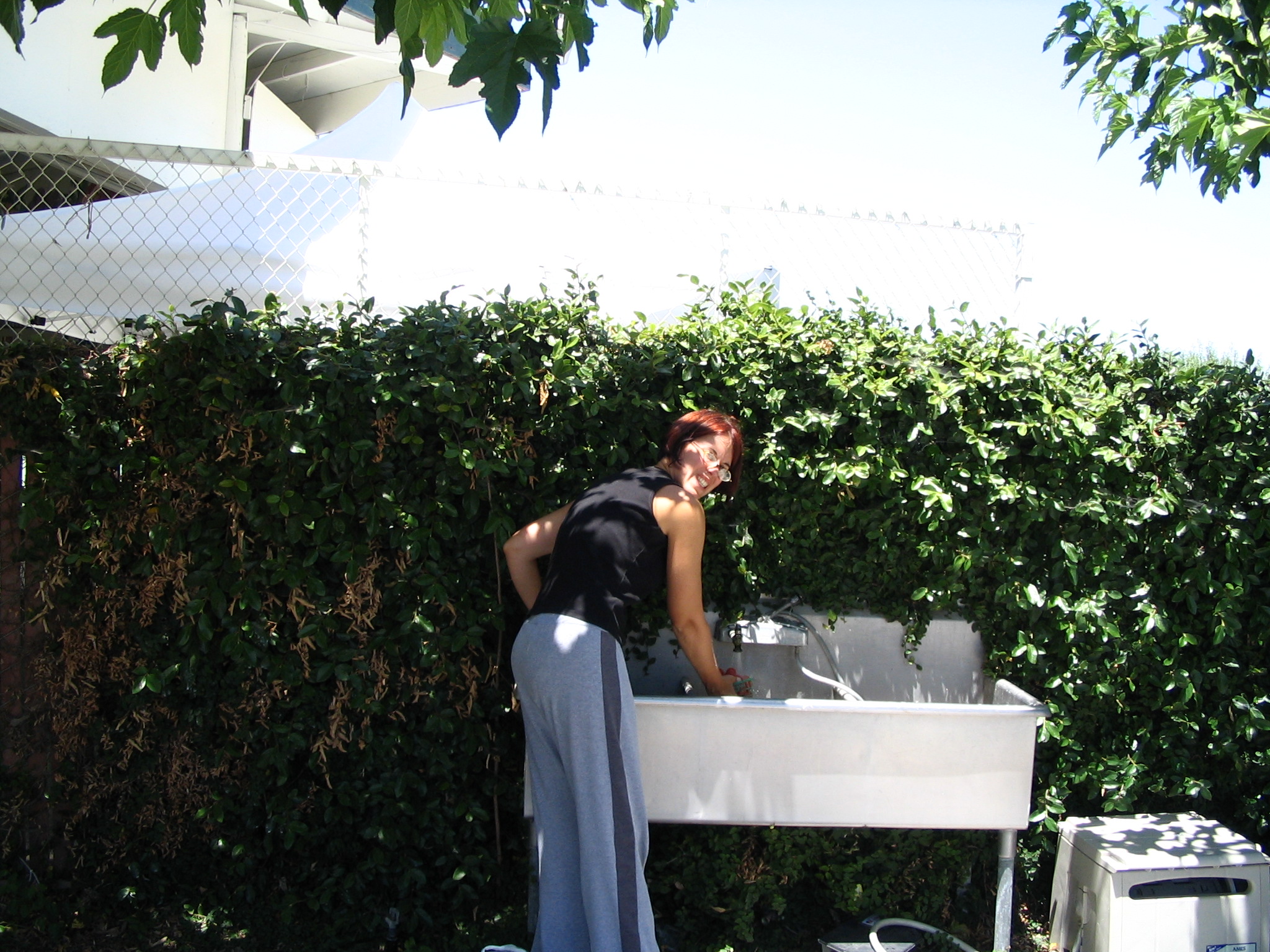
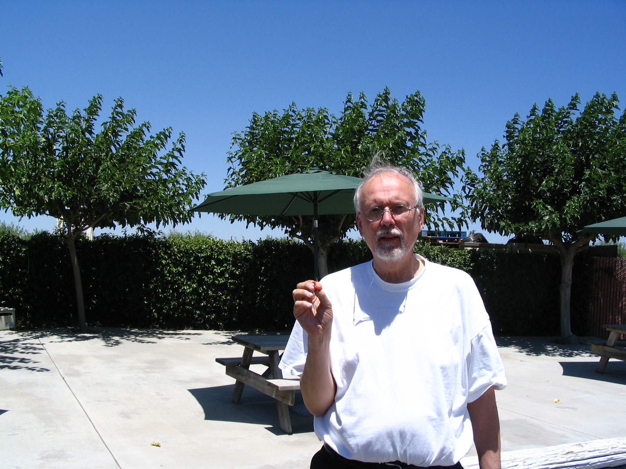
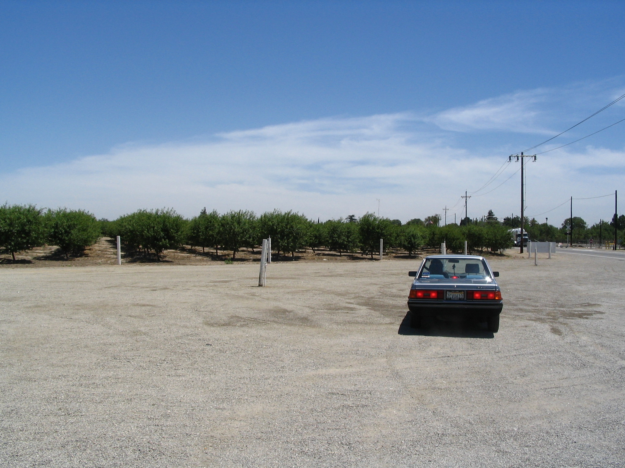
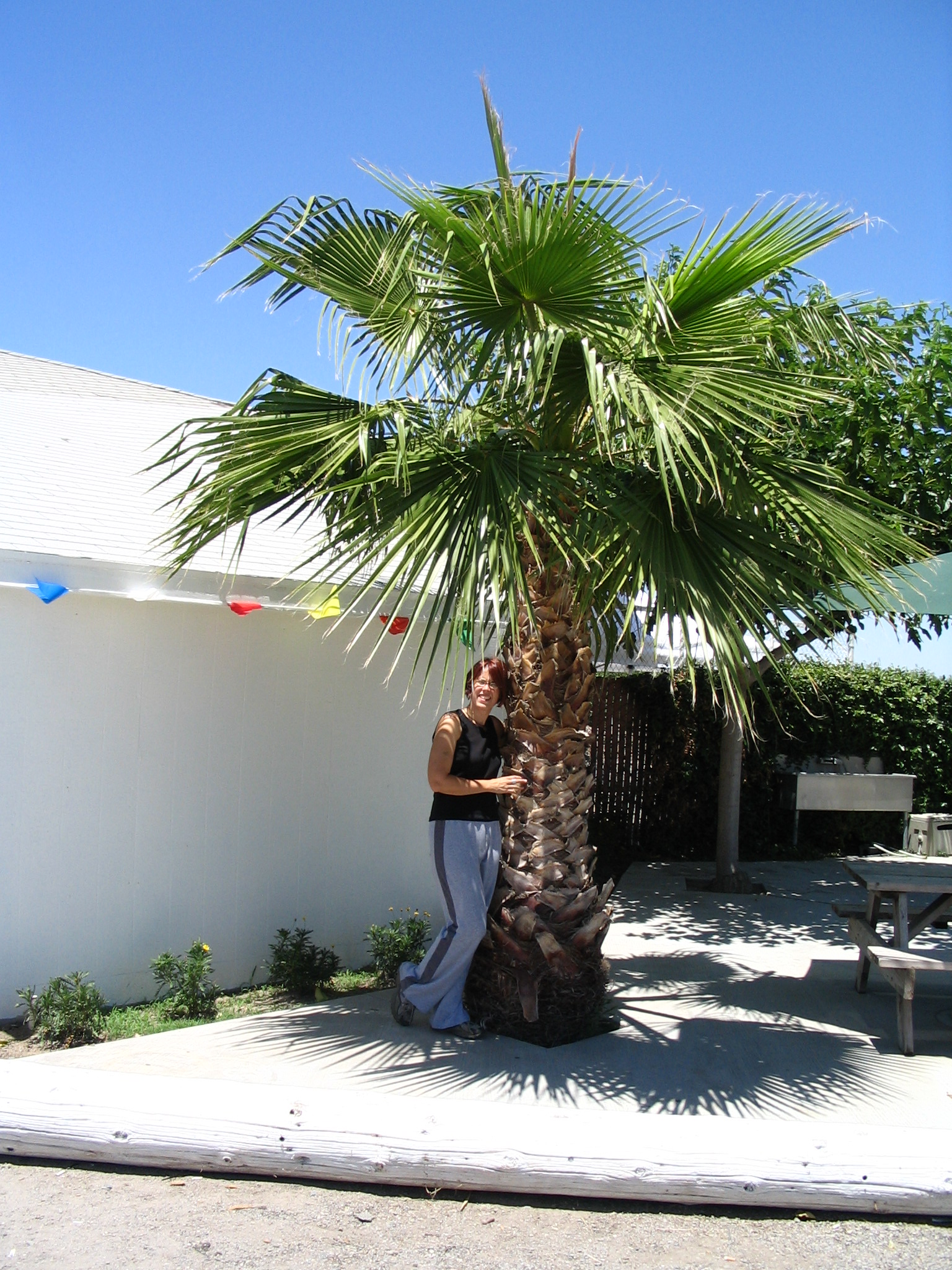
We then get onto I-580 and go up over the pass and down into the Central Valley. Much farming everywhere. We stop at a vegetable stand next to a peach grove and buy fresh vegetables. In Pleasanton, we stop at a CompUSA, and I buy a digital camera, helped out by a sales person who basically trains me in its use for about 45 minutes. How wonderful. After branching onto I-205 for a few miles, we get off the interstate and on to CA120, heading for Yosemite.
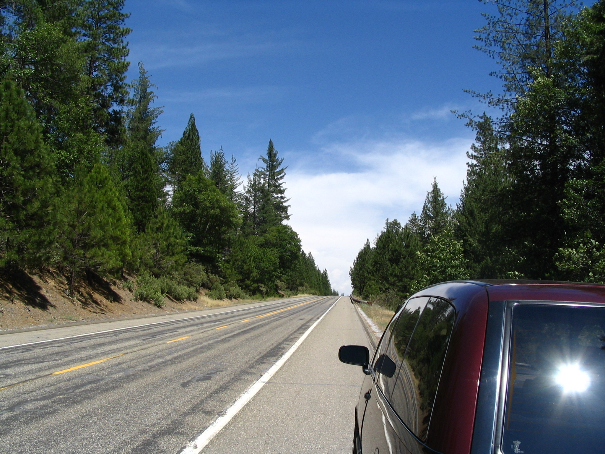
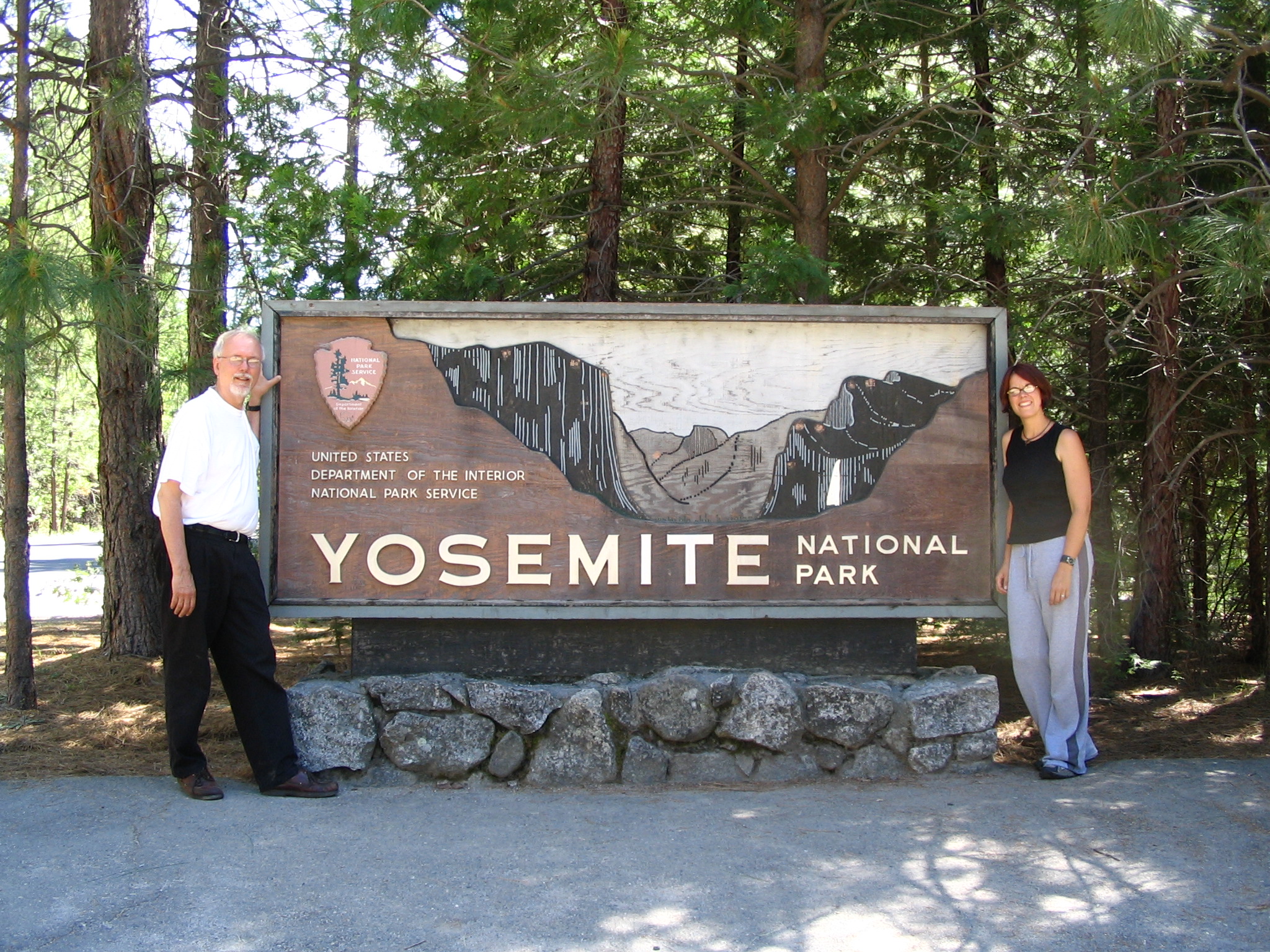
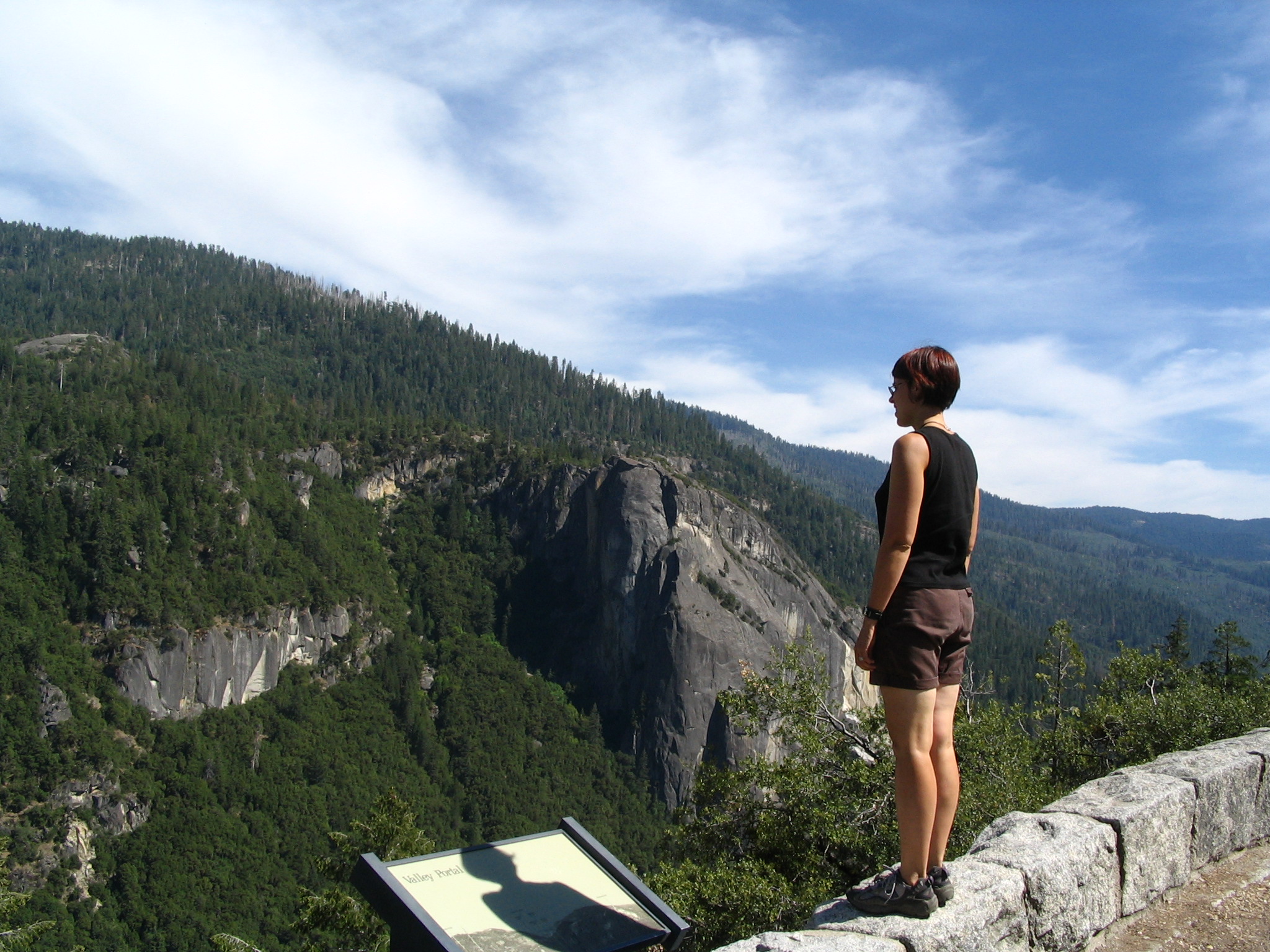
We leave the valley and proceed into rolling terrain, a bit arid. At some point we begin to really climb, and get into a switch-back scenario for 30 minutes or so, as we ascend towards the entrance of Yosemite. It’s a long drive! We finally enter, pay our $18 fee, and continue on through the pine forests, and at some point come around a bend to our first glimpse of the massive Yosemite Valley. We stop several times for looking and picture taking, and then begin our descent into the Valley. Part way down, we encounter a traffic back-up, and sit there for 15-20 minutes. It turns out to be construction, and we finally get by. But already you get the impression that there are a lot of people visiting Yosemite.
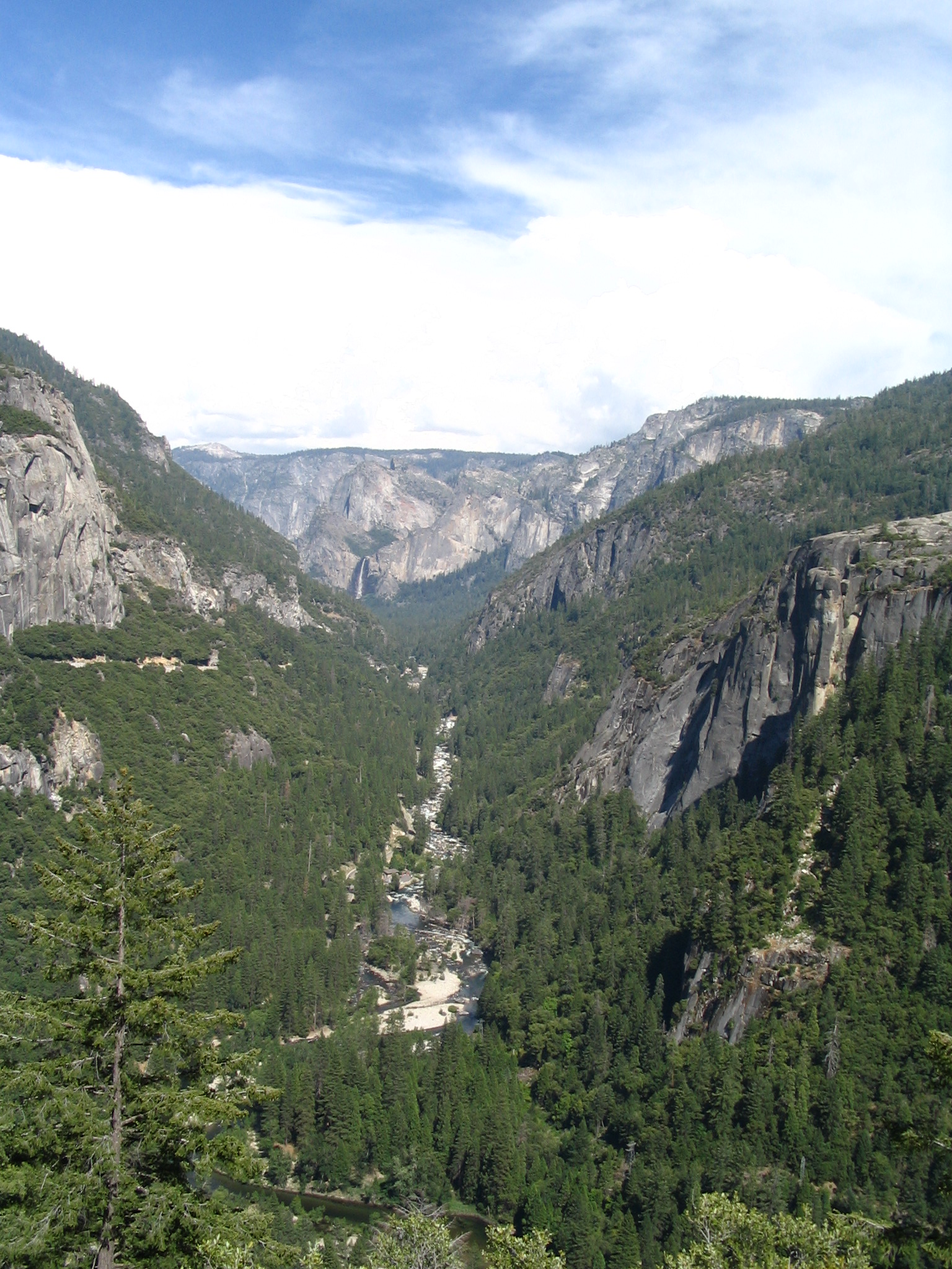
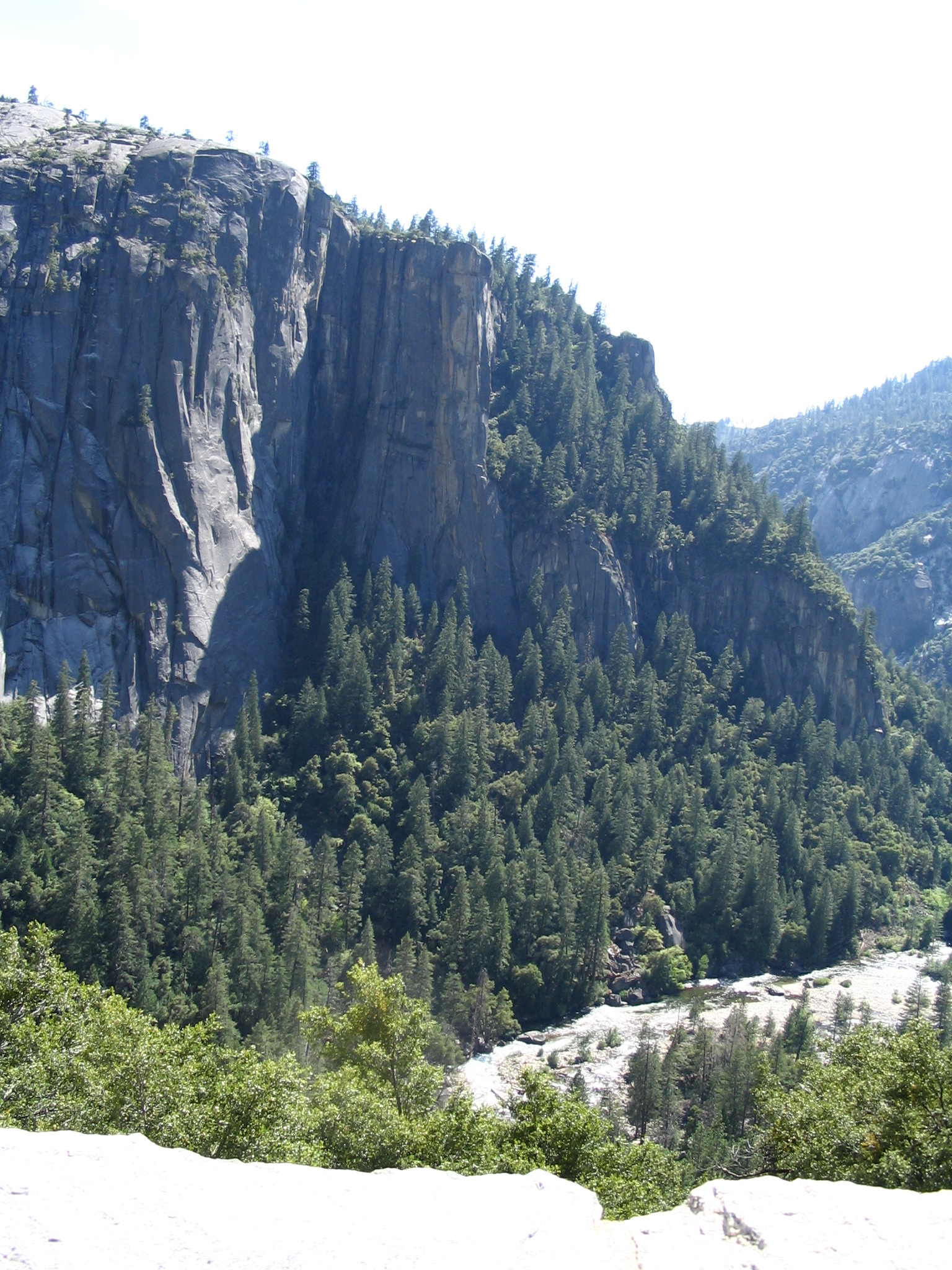
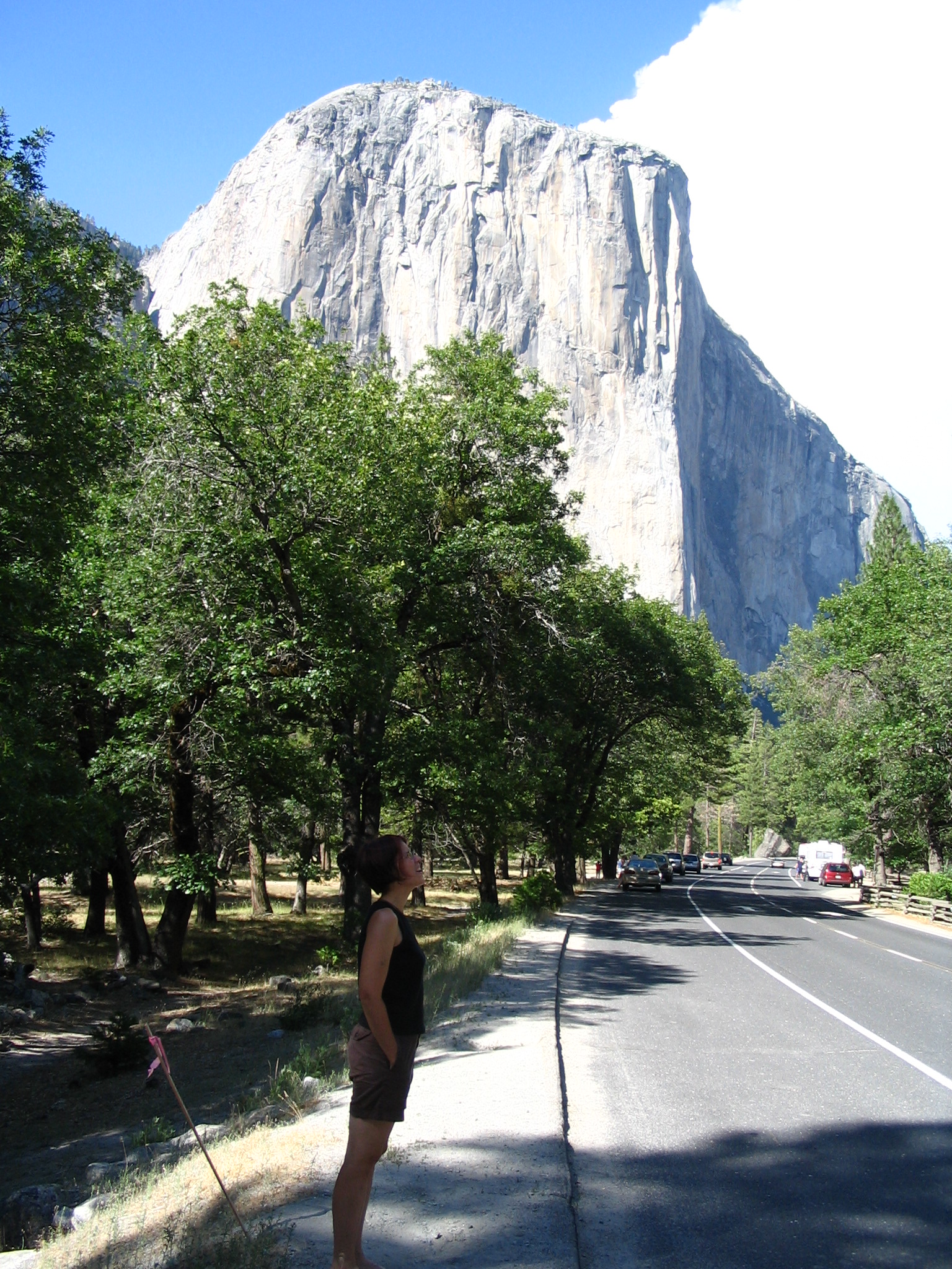
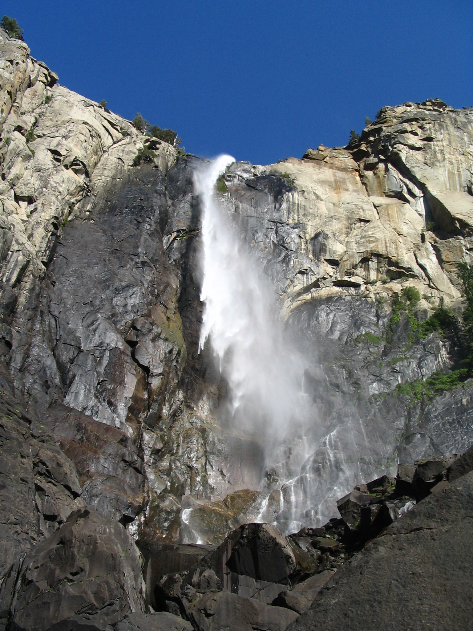
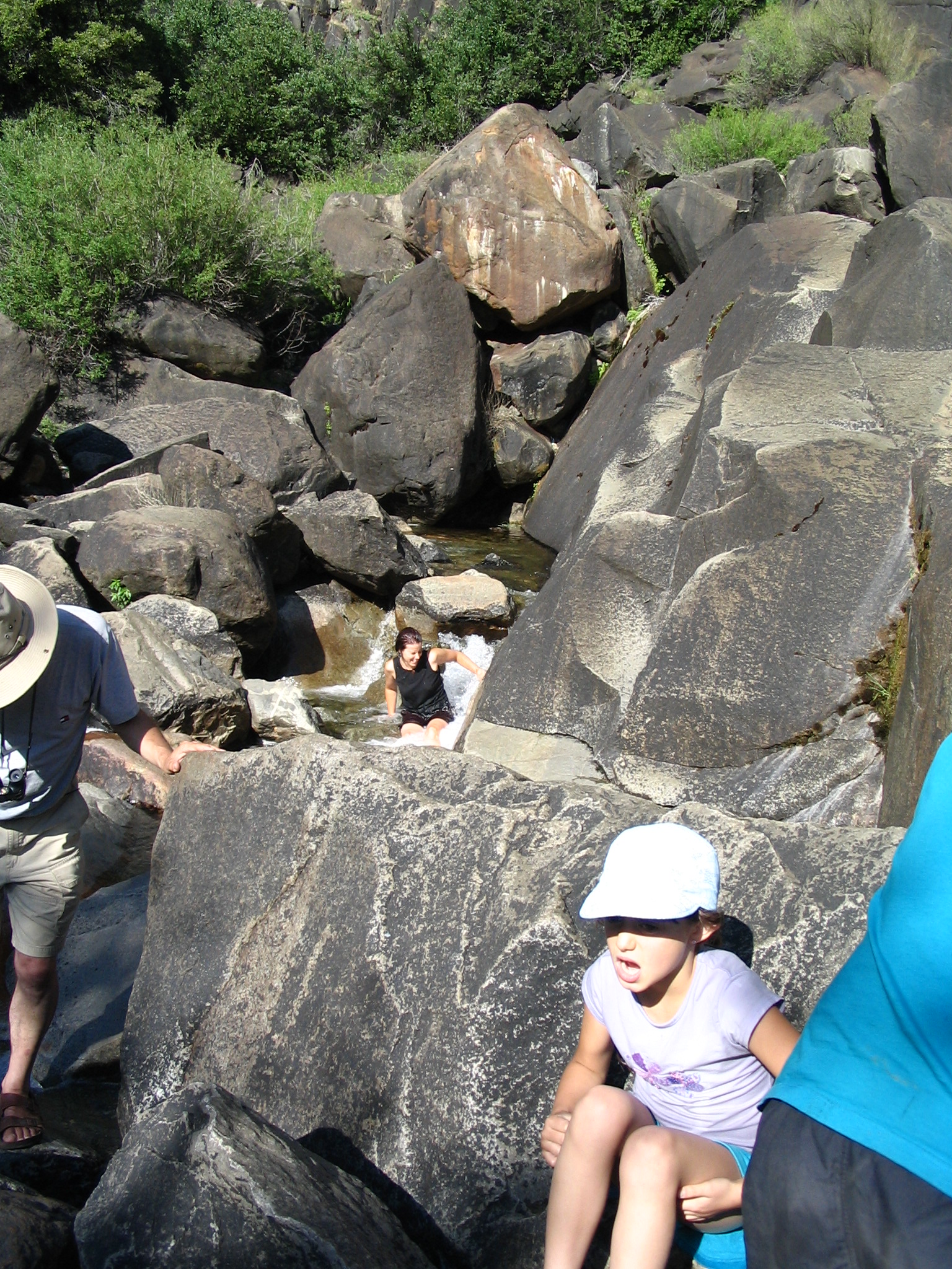
Once on the valley floor we see looming ahead El Capitan, this amazing piece of stone, thousands of feet in the air. We stop at Bridal Veil Falls, and walk up to the base, where Courtney goes for a “dip” in the cascading water. It’s warm – high 80’s — so being wet is not a problem. On the way back to the car, we see people with binoculars looking up at El Capitan, and we guess that there must be climbers. We use Courtney’s binoculars, and can locate at least one climber, 1/3rd of the way down from the top. Not for me!!
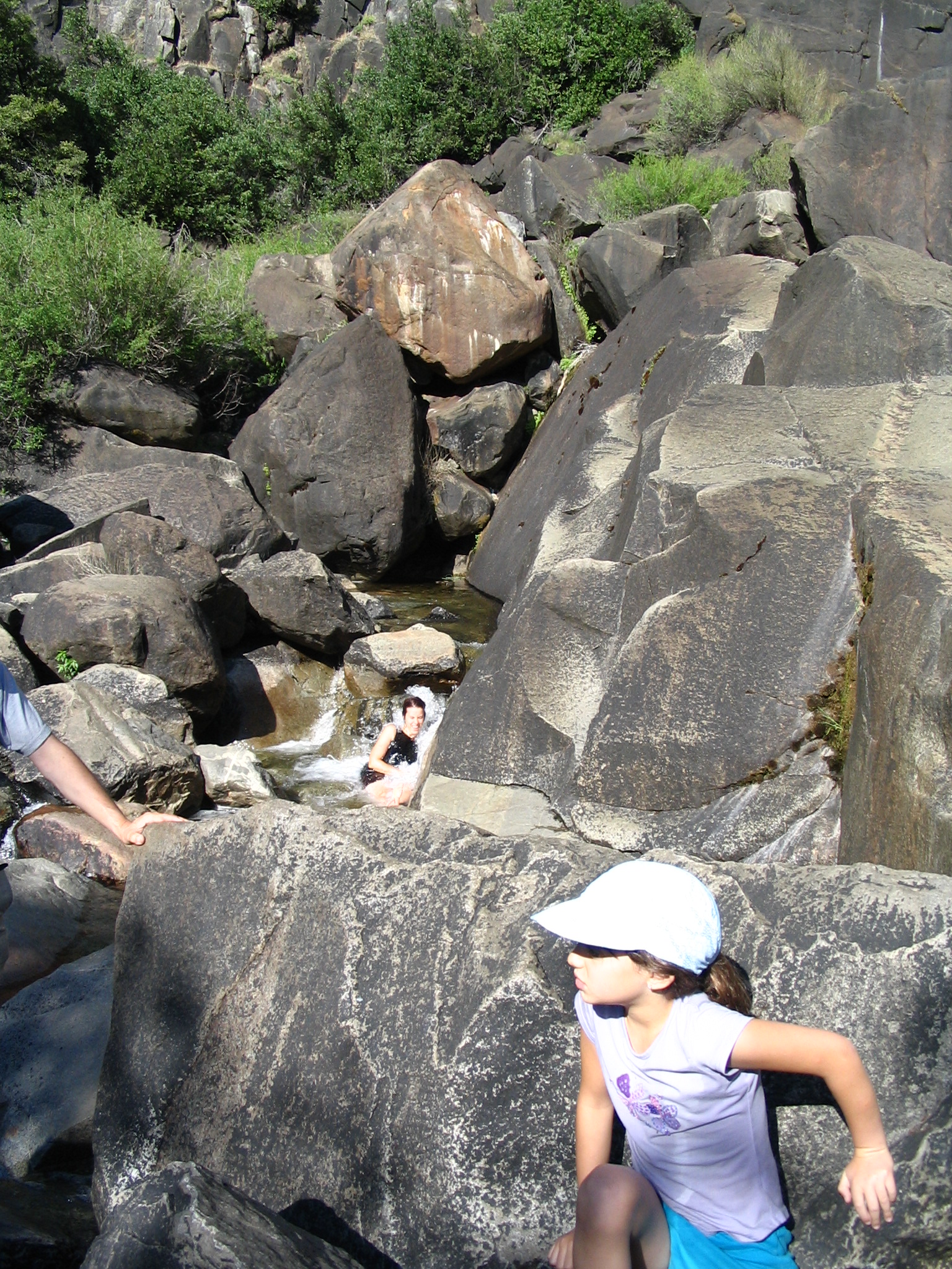
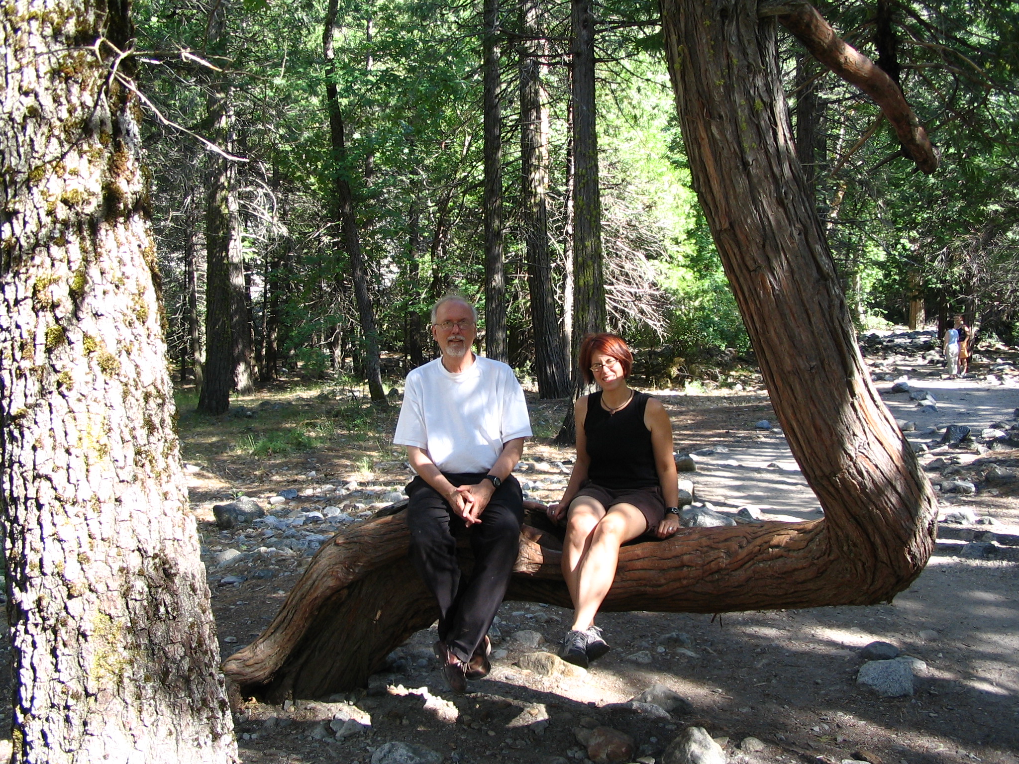
We drive on into the valley, now looking for a place to camp. All the campsites are full, apparently. Except for the Housekeeping sites. We get in line, and learn that the cost for the sites is $74! But, hey, we’ve got to stay somewhere, right? We pay our money and go to look at our site, but it’s already occupied. So back to the office. They come up with a couple more sites, but when we go to inspect them, they are really depressing! Dingy, canvas-roofed, unpleasant. Courtney gets the sense that we should get our money back, and check put the other camping sites — maybe there have been cancellations. We drive to the Curry Village — full, plus no one running the site. It’s supper time. We go to a lodge and get in line, but are told there that indeed they are full.
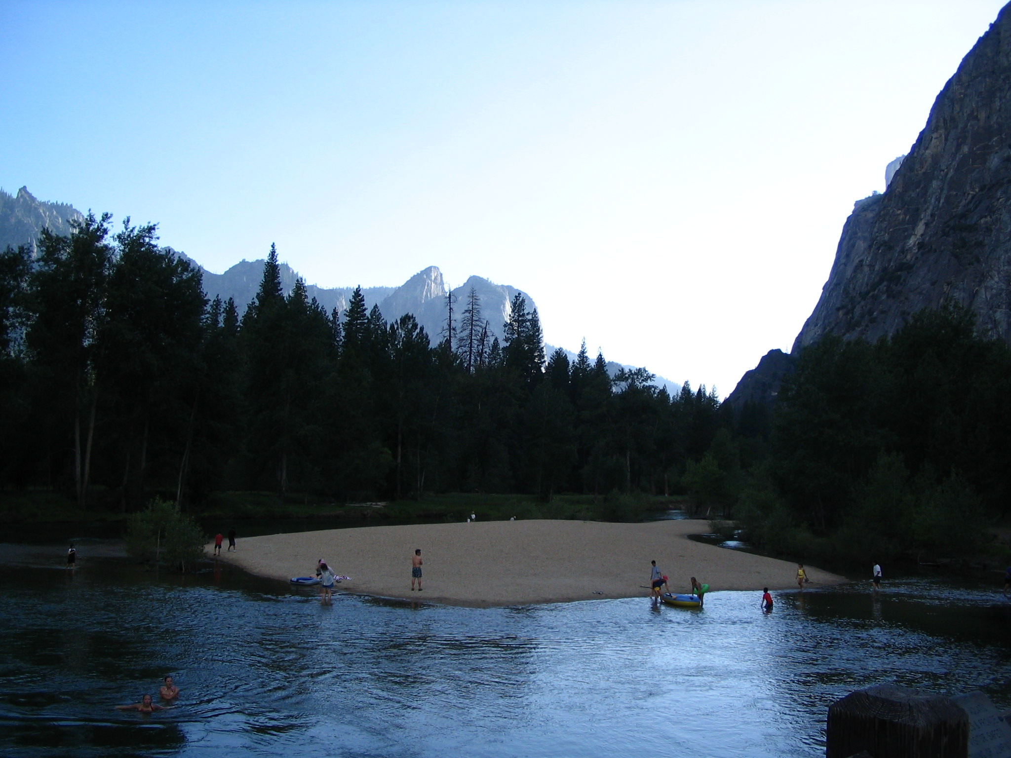
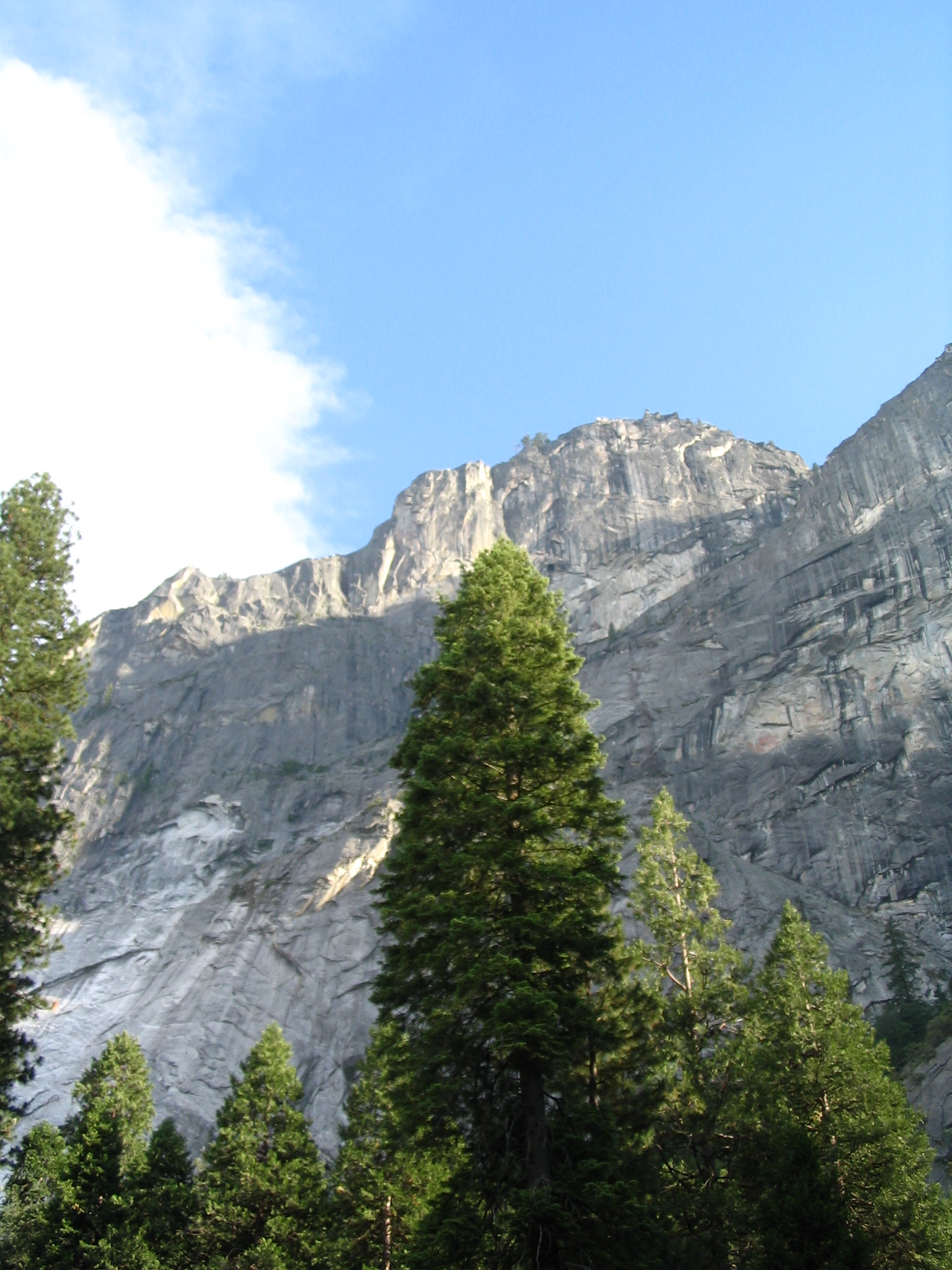
We drive toward the Valley exit, but same thing: all campsites taken. We drive back to Housekeeping, and ask the guys about camping outside the campsites. They say that it is allowed, but you need to get a permit, and everything is closed! We ask for and get our money back. It’s now dusk. We drive over to Curry Village trailhead parking, and decide to look for a place to stealth camp, in the woods a bit from that parking lot. I’m dragging my feet: (1) bear warnings, and (2) no permit. However, we decide on a site, and despite my poor attitude set up the tent and settle in. Being in a pine forest, the ground is very soft, and we do very well.
Wednesday, June 16 – Yosemite to Topaz Lake
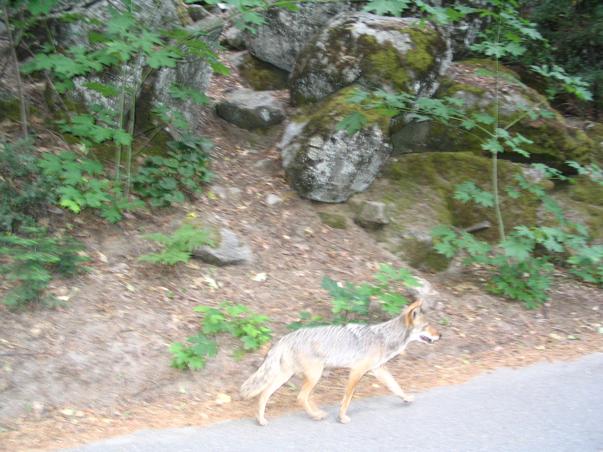
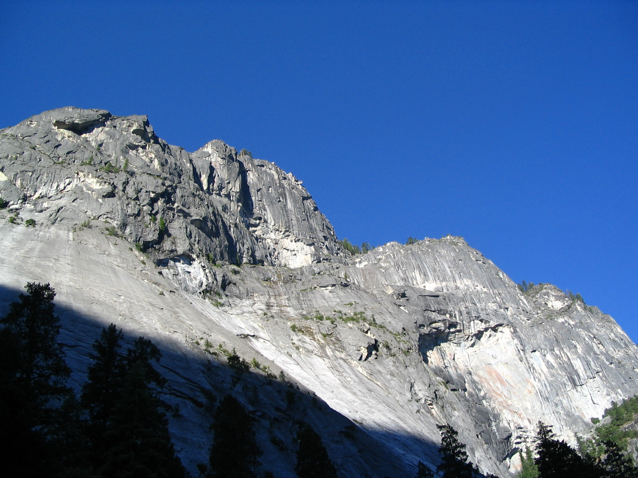
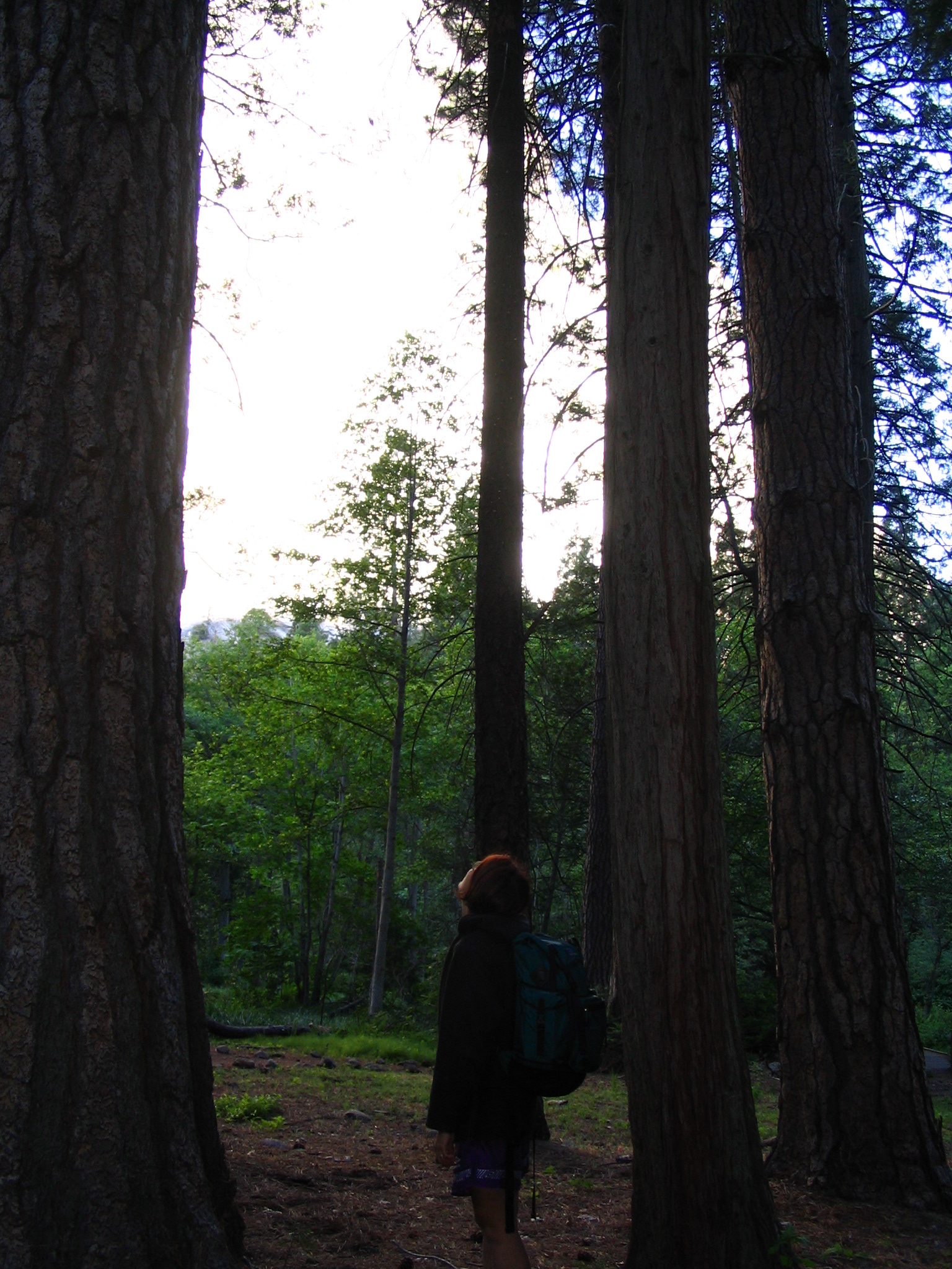
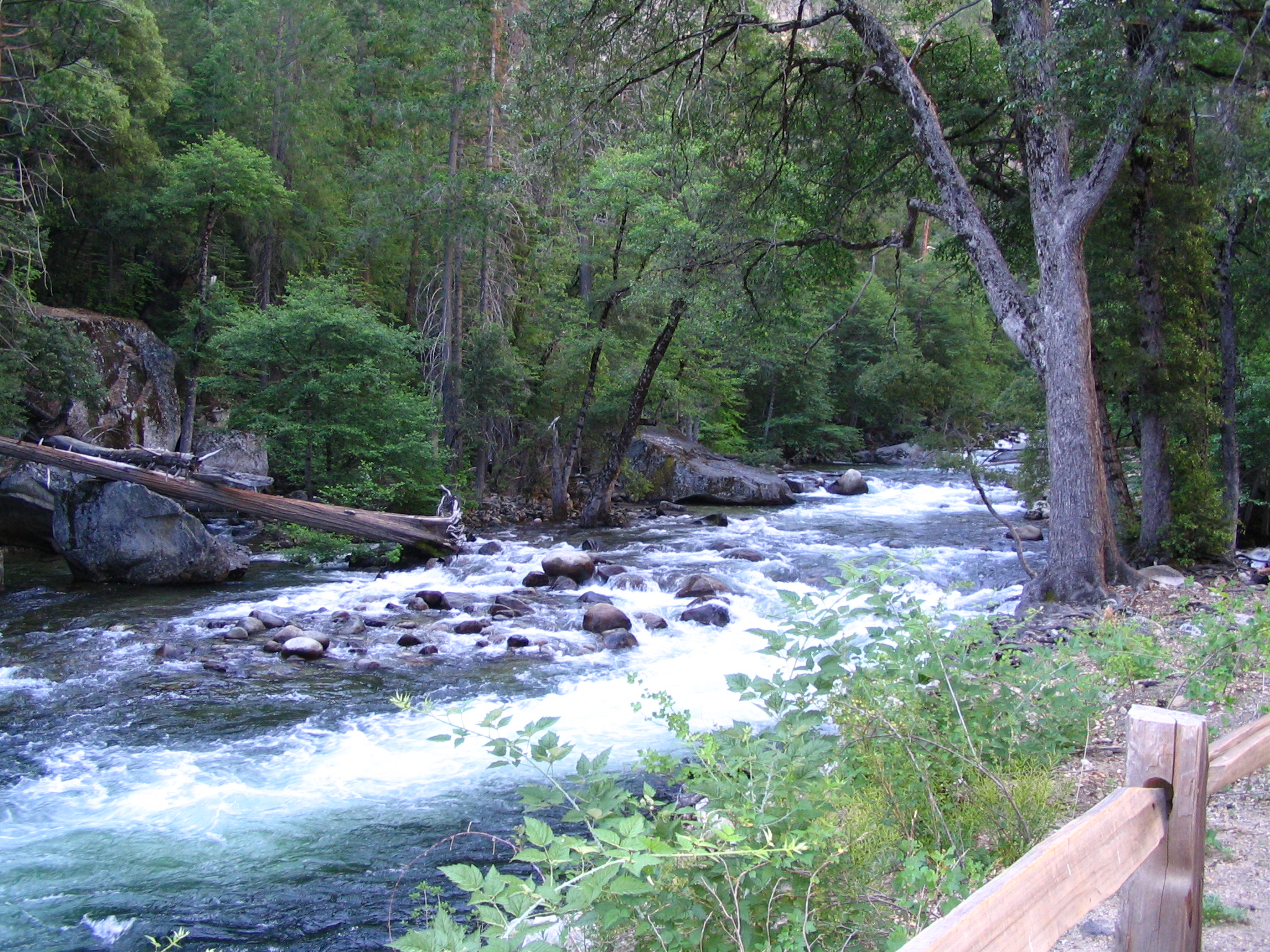
At dawn, we break down camp before too many hikers pass by. No bears had visited, and I had survived my first night of tenting since I was 8 or 9! We pack things up and re-load the car. Courtney loads a back-pack with food and other necessities, and we set out for a hike up to Vernal Falls. First however, we walk by our leave-no-trace campsite and on to a trail that takes us up to the Merced River. Everywhere there is beauty. You look up at these marvelous walls of stone and trees, and you have a crashing river, cascading over rocks and boulders.
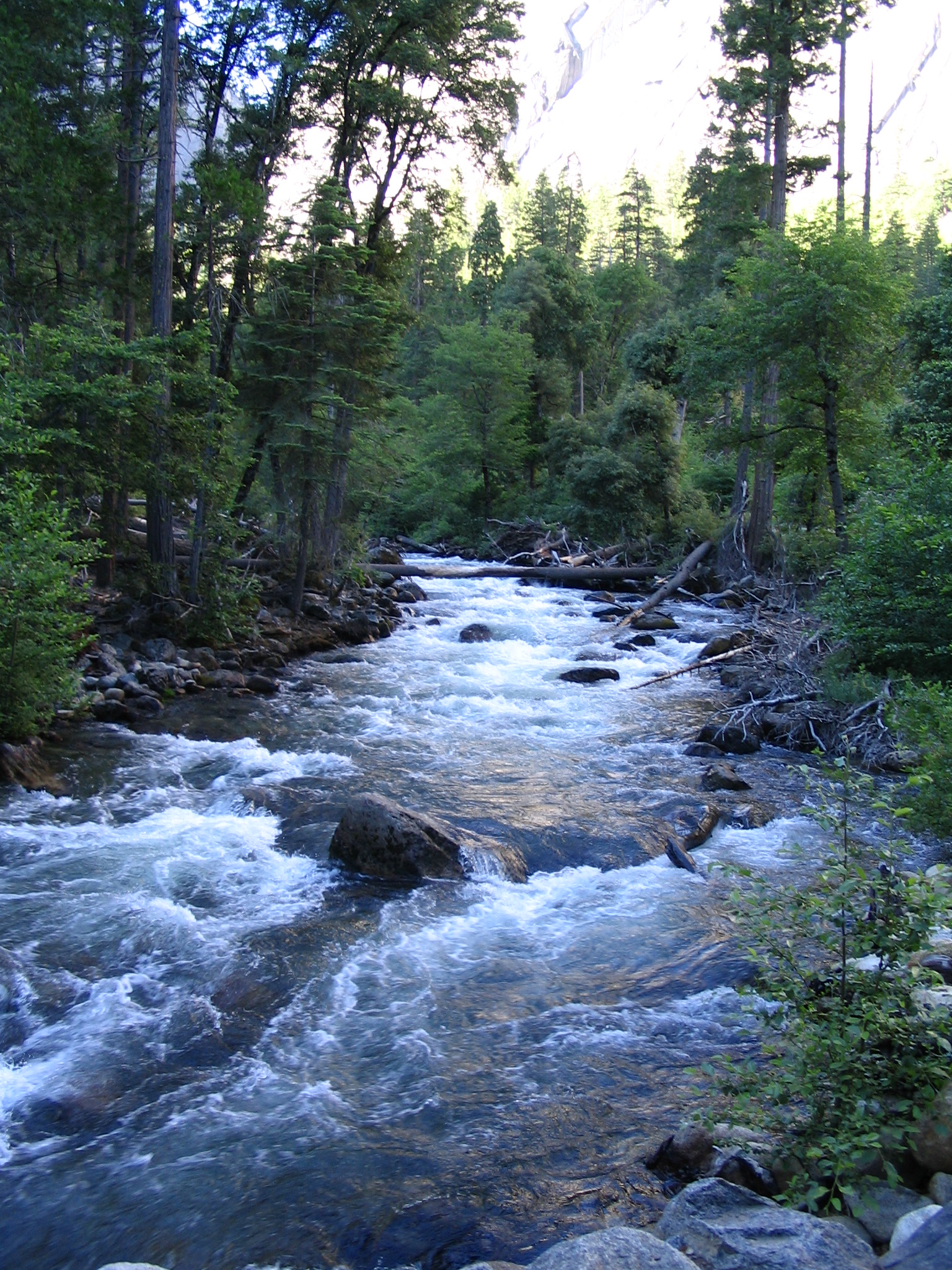
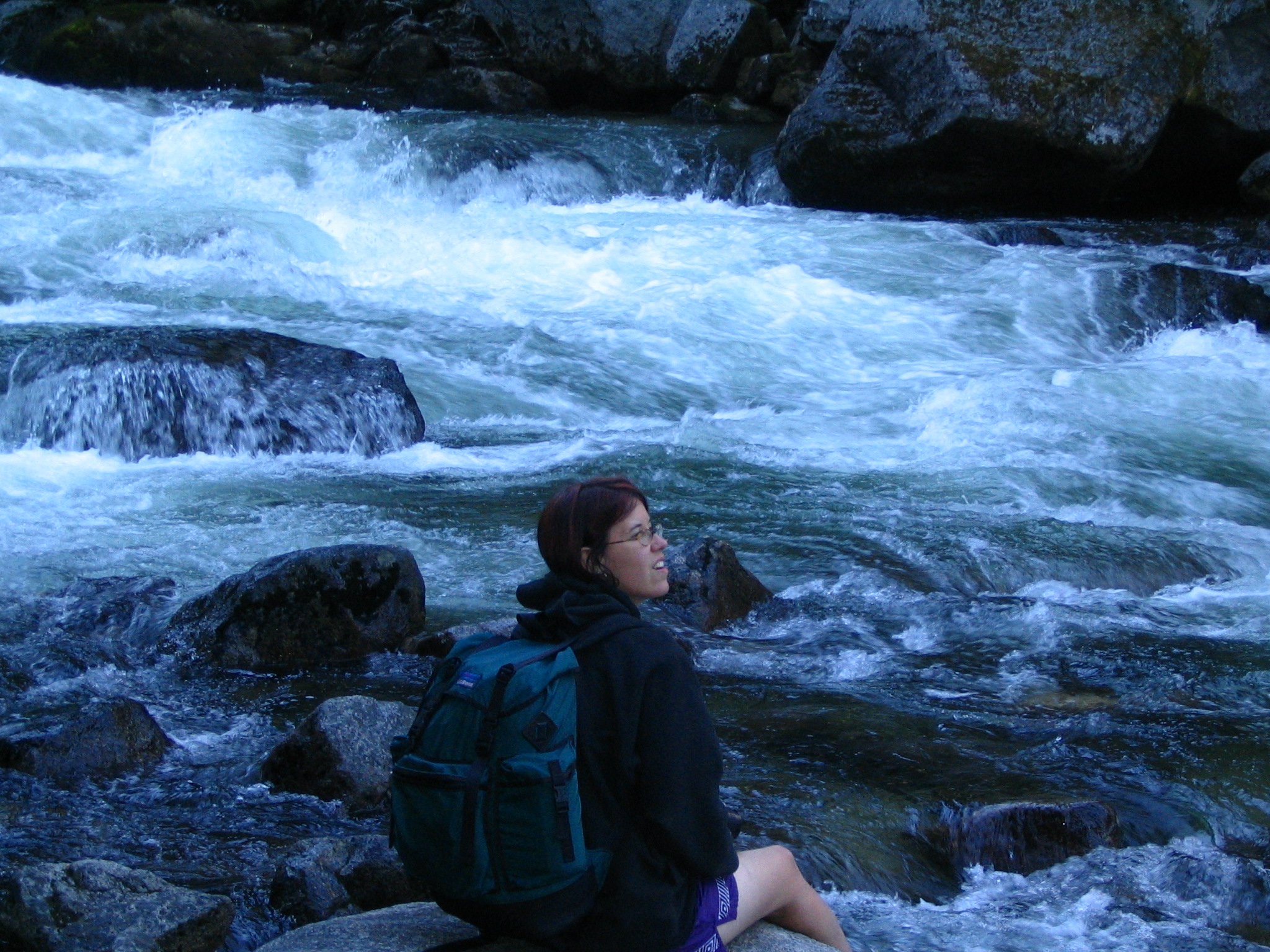
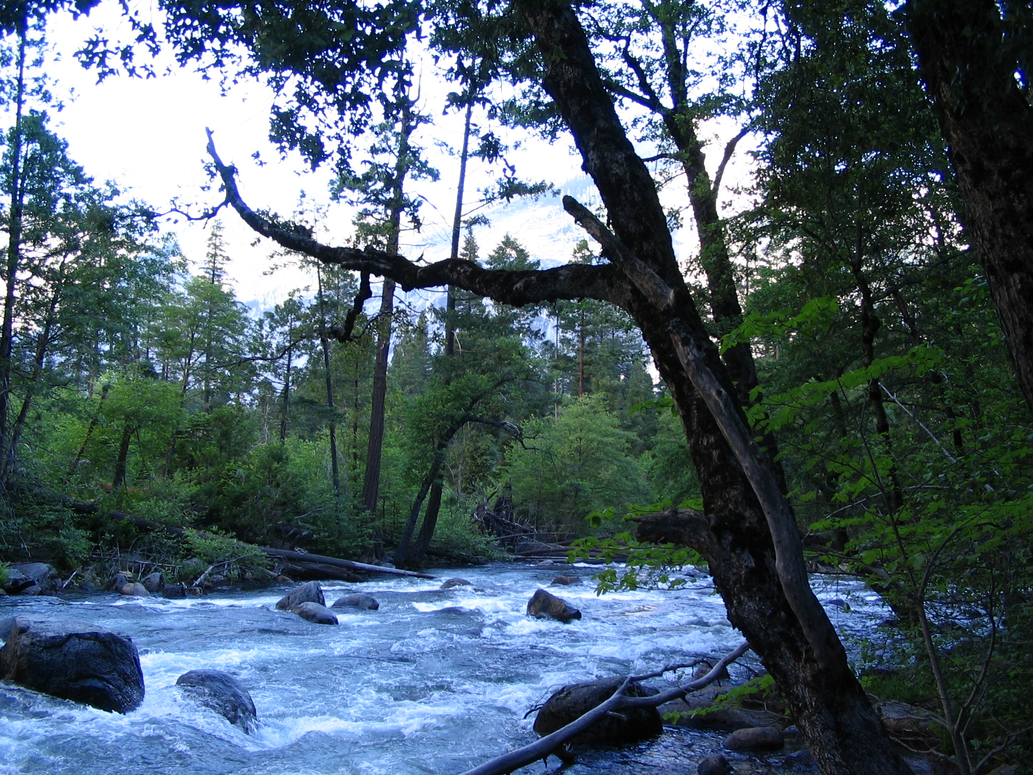
After going to the end of this ground-level trail to Happy Isles, we have to walk back to a bridge to get to the John Muir trail up to Vernal Falls. Before starting up, we find a picnic bench, and proceed to eat breakfast. We can’t get the stove to light — wrong fuel? So we mix our oatmeal cold, and along with fruit, cheese, peanut butter and crackers, we eat like royalty. We clean up, and set out up the trail.
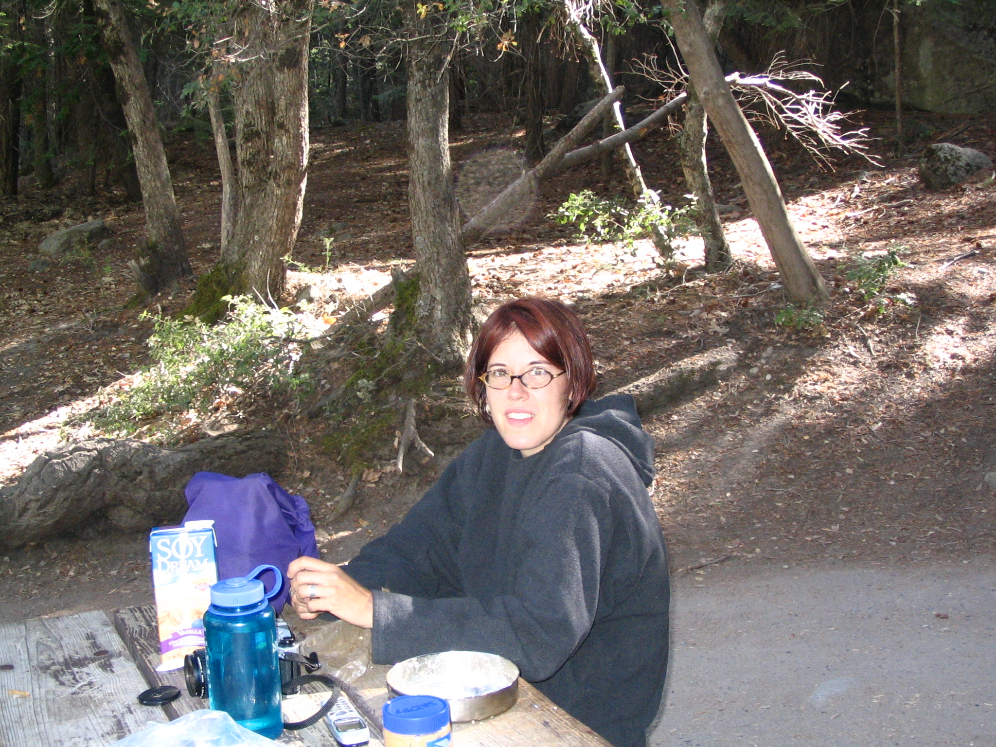
There is a lot of climbing, as we ascend high above the river. At some point we turn a corner, and can look back at the valley, seeing Yosemite falls in the background, and the gorgeous cliffs and mountains everywhere. After considerable walking we descend slightly to a bridge across the Merced, and from here we get our first glimpse of the falls. Even here we can detect the roar. After ascending for a while, now on the right side of the river as we approach the falls, we find the place where the John Muir trail breaks off for the high Sierra’s.
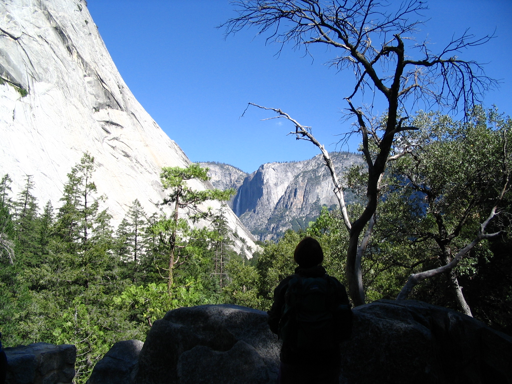
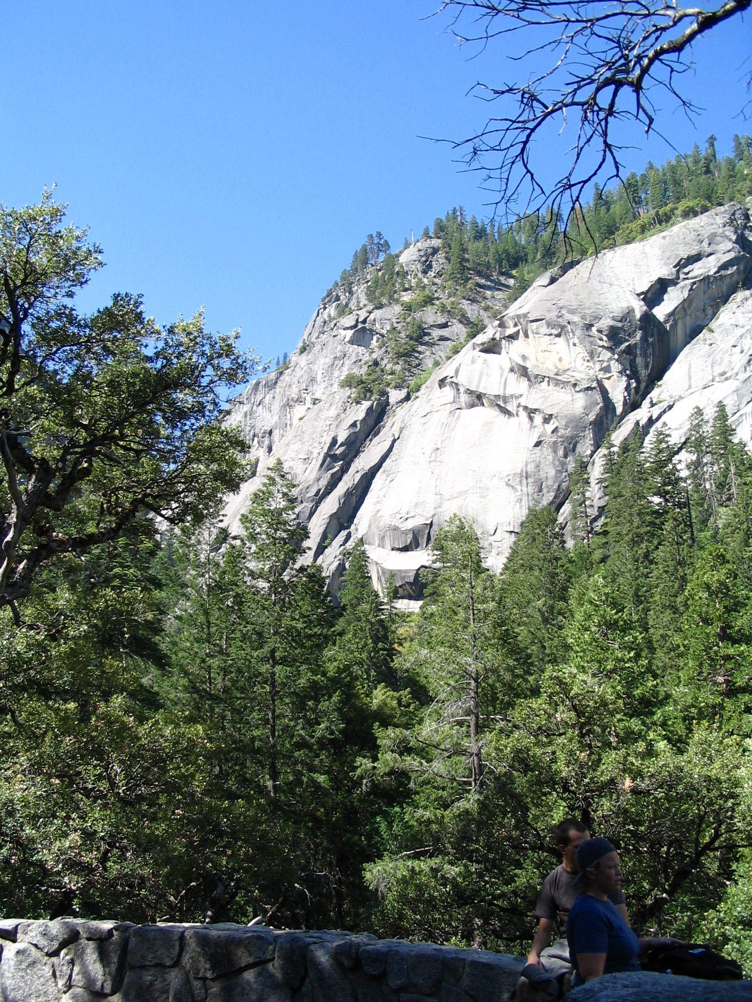
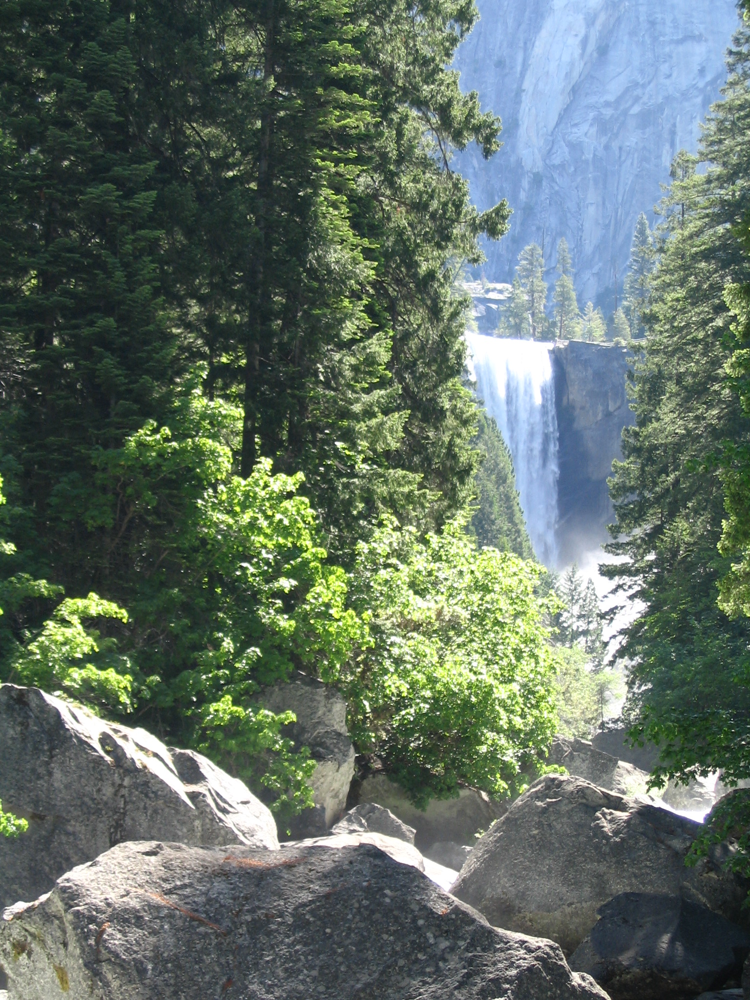
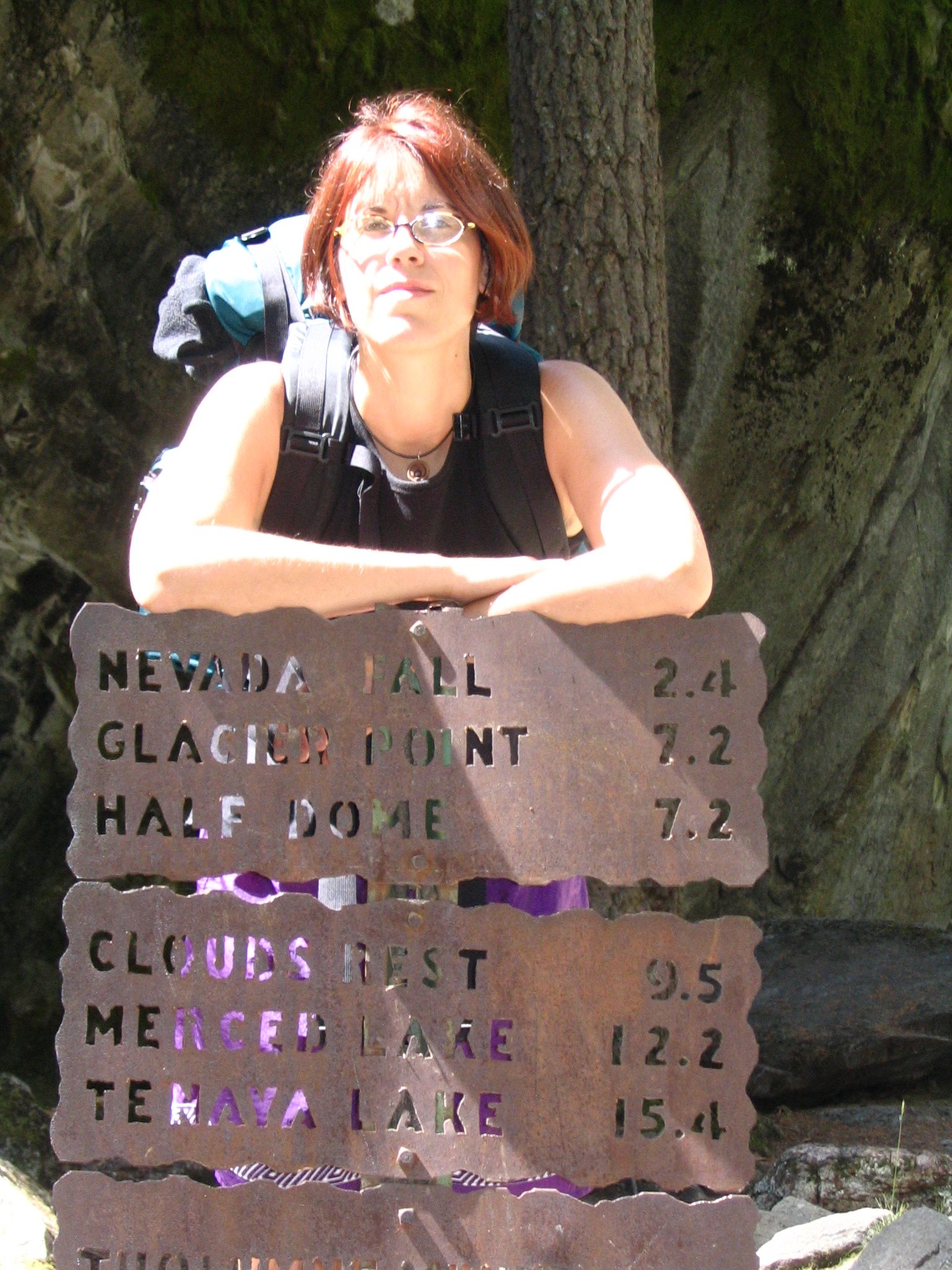
Soon after this Courtney sees a descriptive marker off trail, and we walk down to it. Beyond that is a big flat rock right next to the river, and we stop there for a rest. Courtney takes a nap in the sun, and I sit and also doze off. In all this beauty! No hurry! We resume our walking, and the canyon is now narrowing, and stone stairs are beginning to be available to help in the ascent. As we near the falls, the mist coming from them is quite intense. In fact, at this time of year, with all the water, you basically get soaked as you climb nearby. But the day is very warm, and it’s ok.
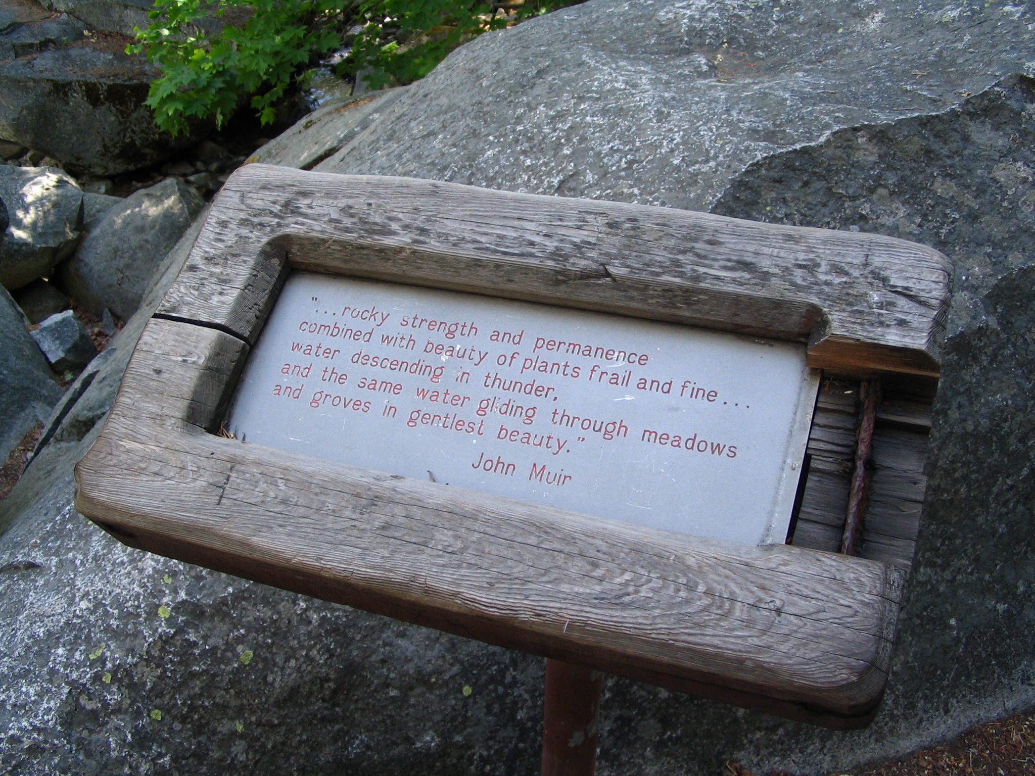
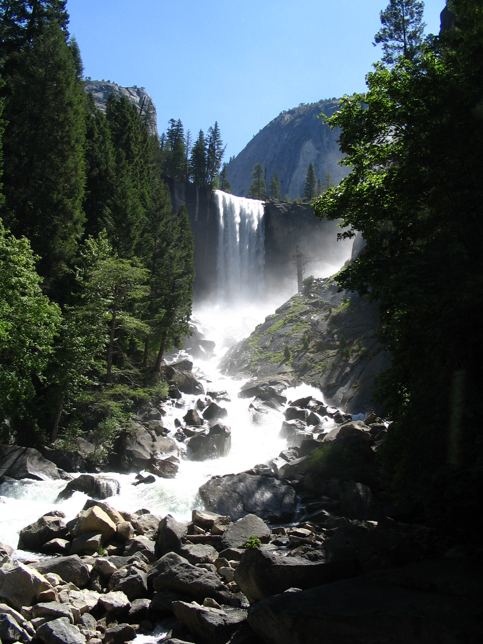
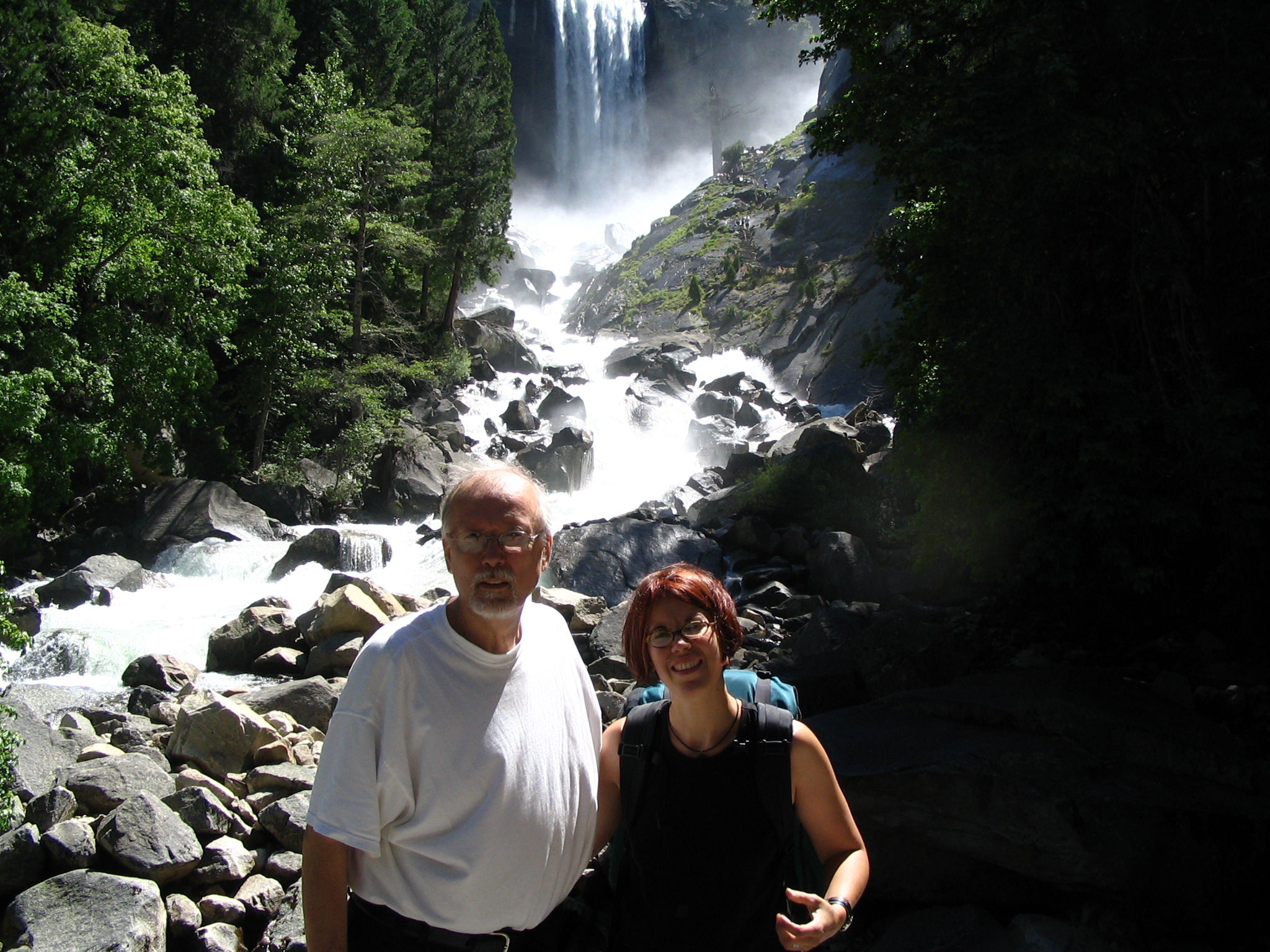
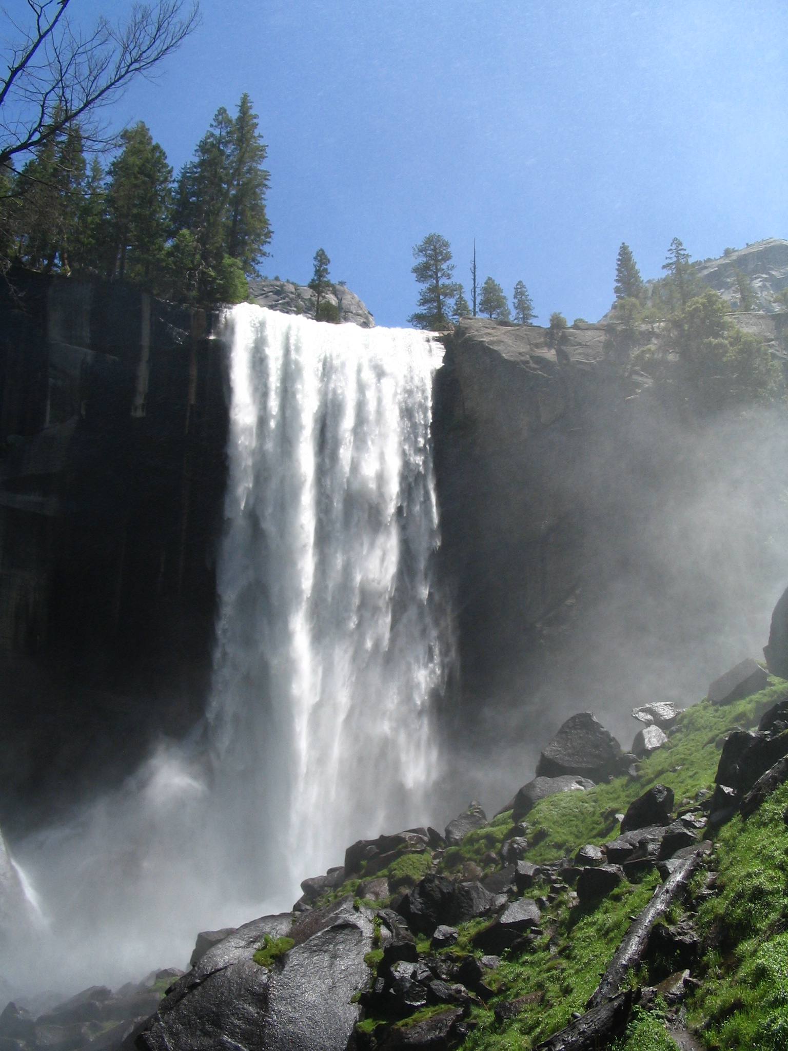
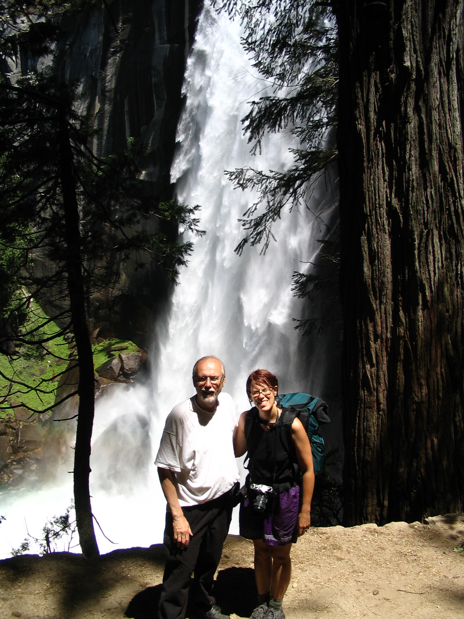
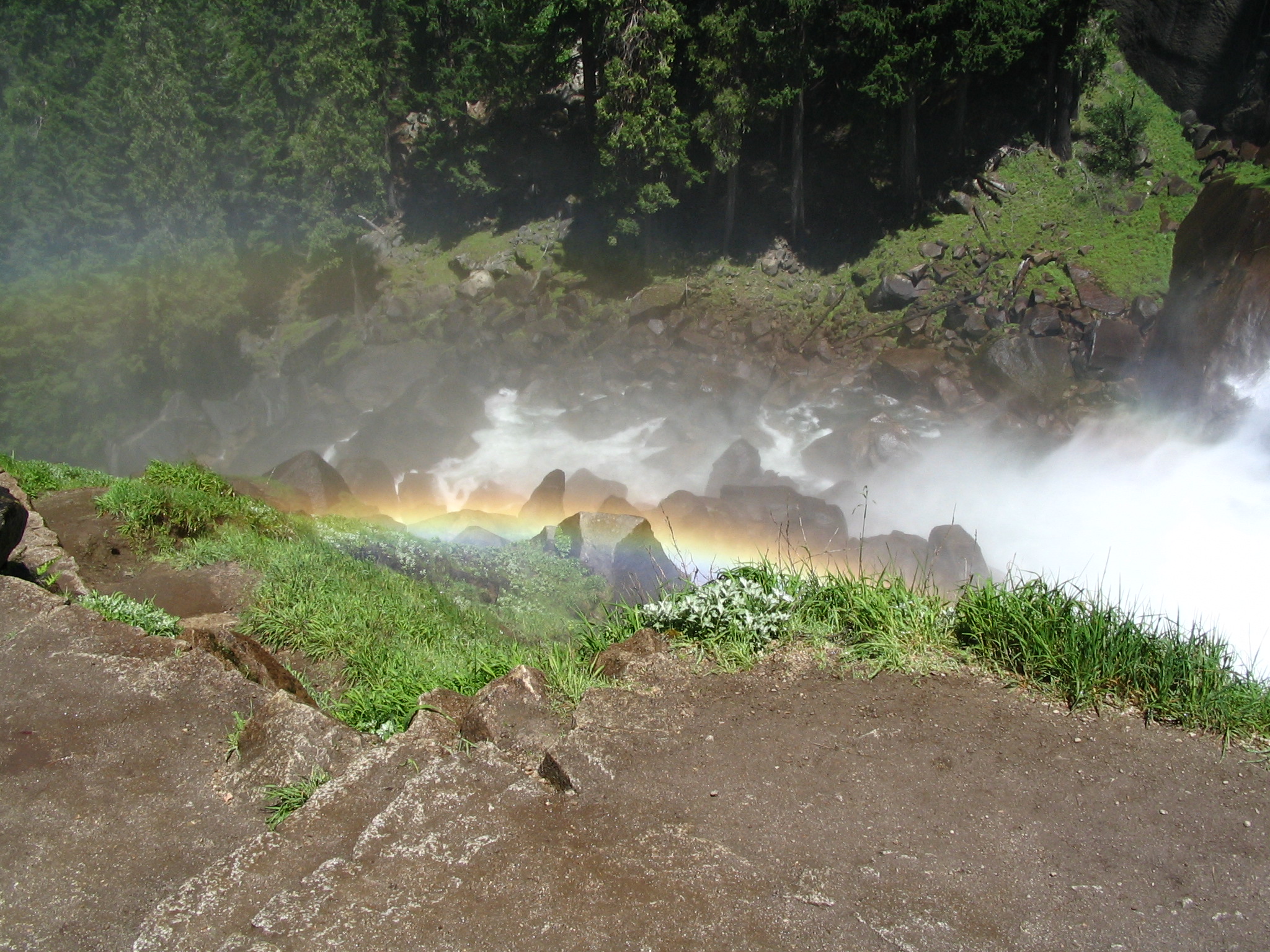
Even beyond the mist, there are still many steps to reach the top. But we finally get there! There are a hundred or so people in the area, and more coming and going all the time. There is a kind of giant very fast moving water sluice above the falls which looks like fun, but also very dangerous. One guy actually swam across the river in the pool just below that sluice, and you sense that everybody thinks he’s a pretty foolish person. He jumps in and swims back, but you’re anticipating a disaster. However, he did make it. Another nap in the sun for Courtney, and we both put our feet in some little side streams of descending water. It’s cold, but refreshing.
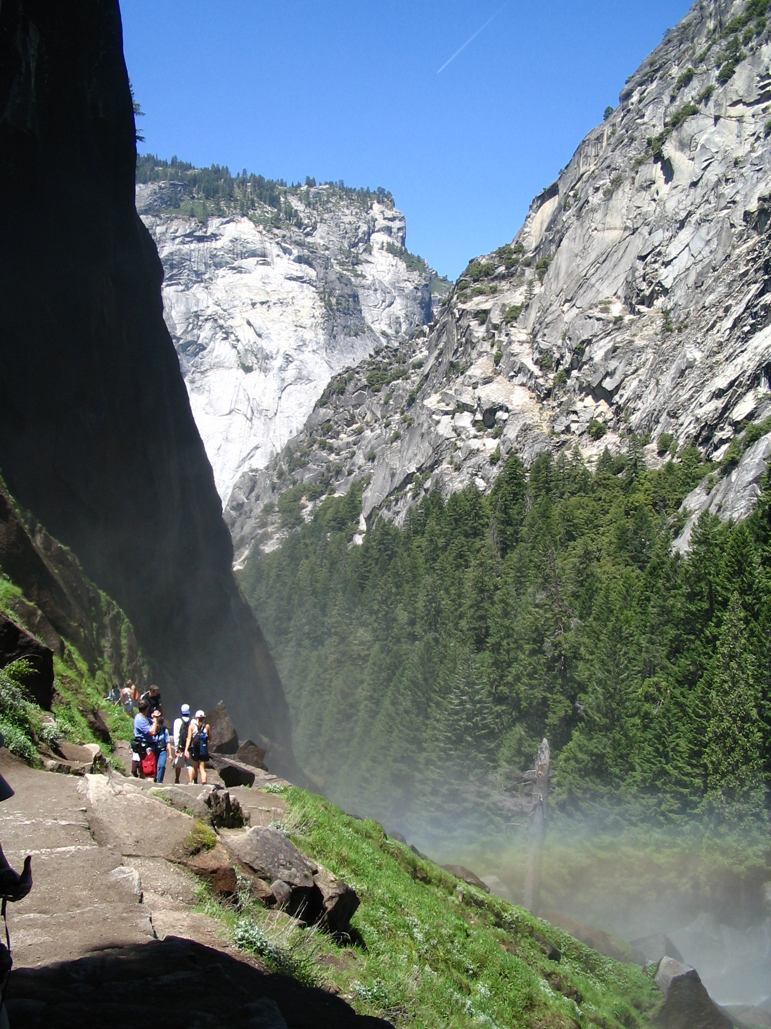
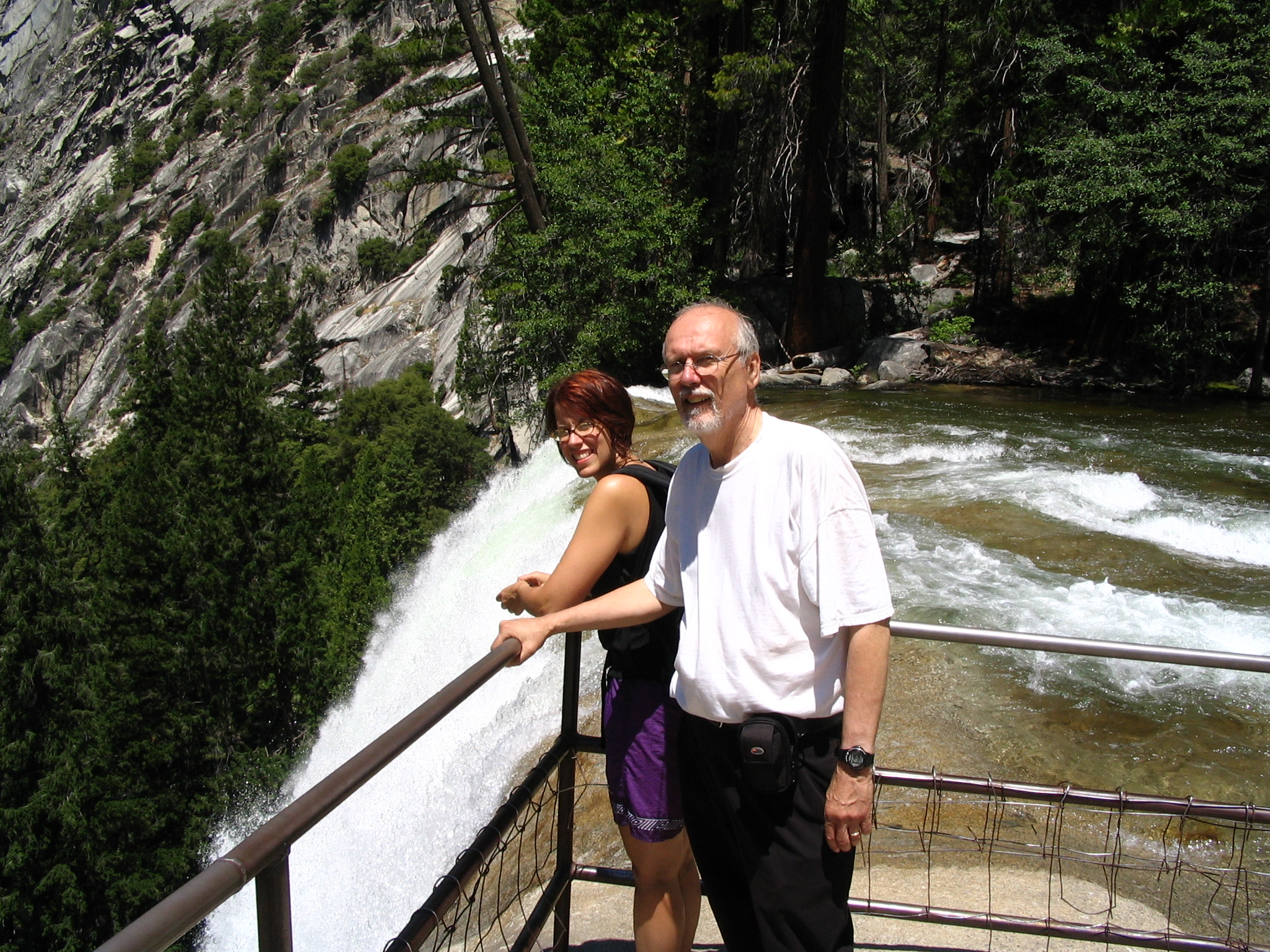
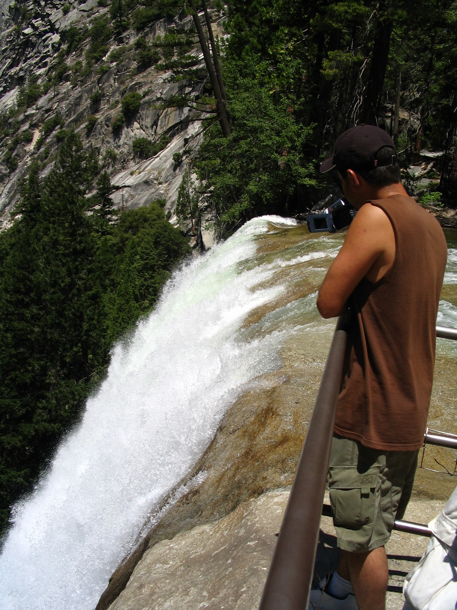
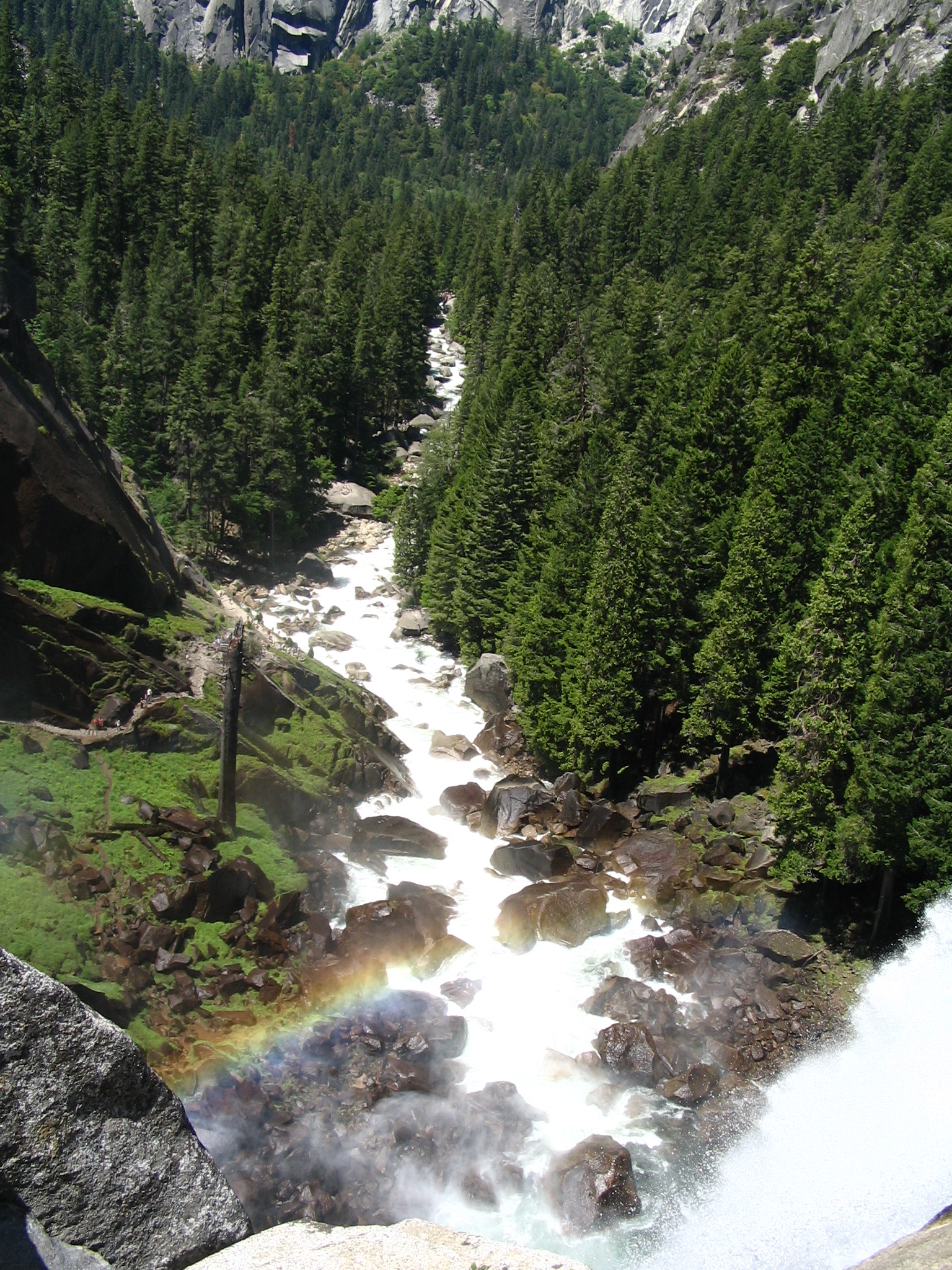
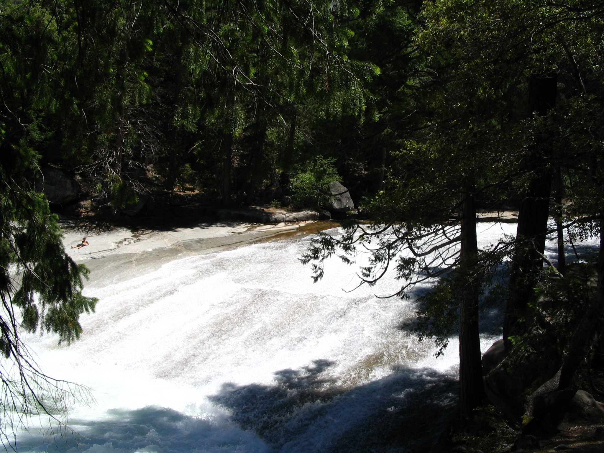
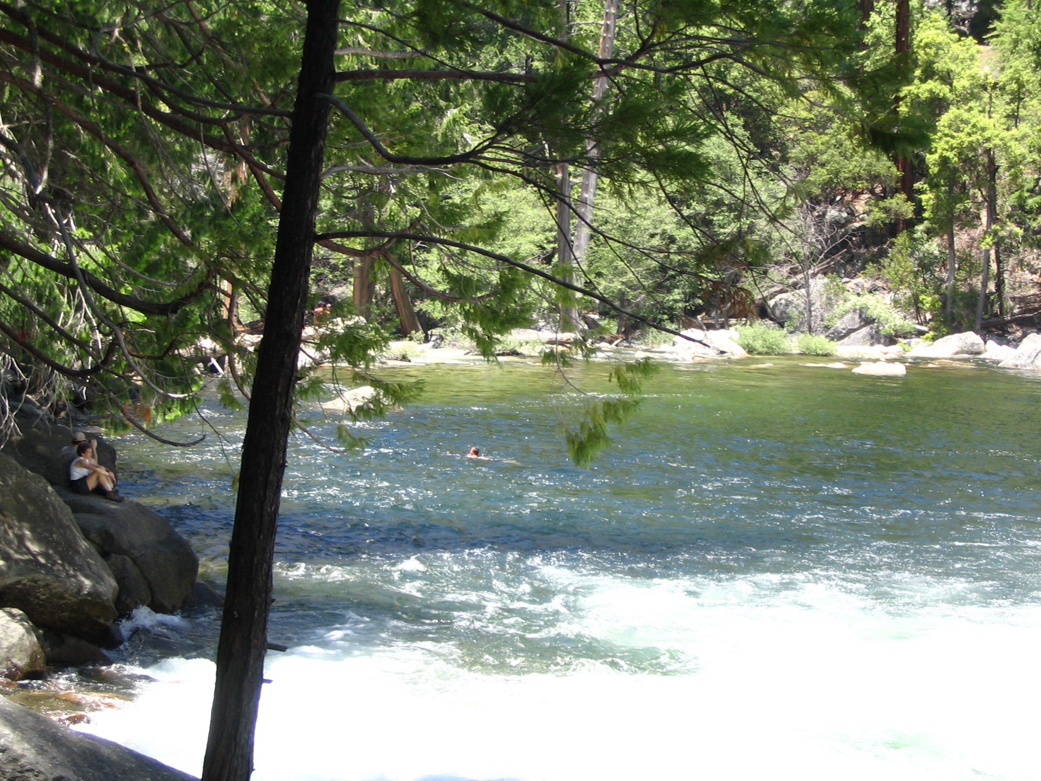
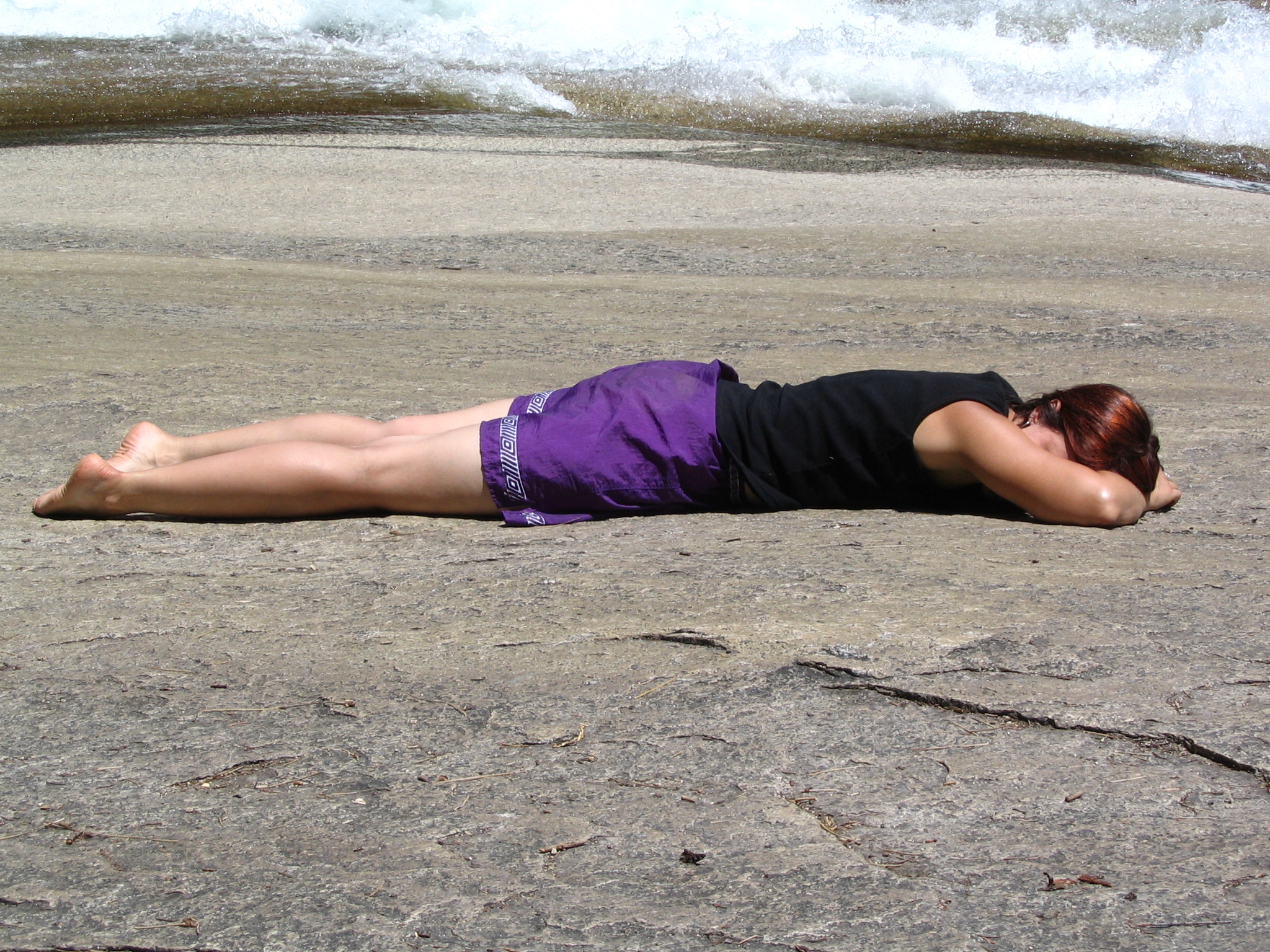
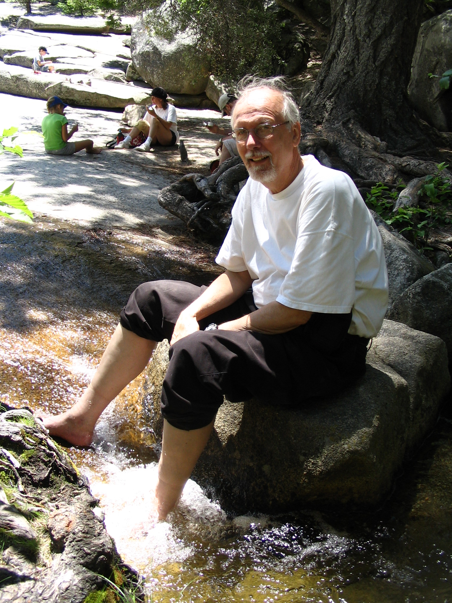
After this welcomed rest, we descend, getting soaked again by the mist, and telling climbers, “It’s worth it!” Once back to the car, we get everything in place, and look for a location for lunch before we leave the park. The climb has taken about six hours, including naps. We locate a tree with some shade, overlooking a beautiful meadow, with Yosemite Falls above, in the background. It’s a bit warm, but we enjoy our sardines in pita bread, with cheese, tomatoes, nuts, Doritos.
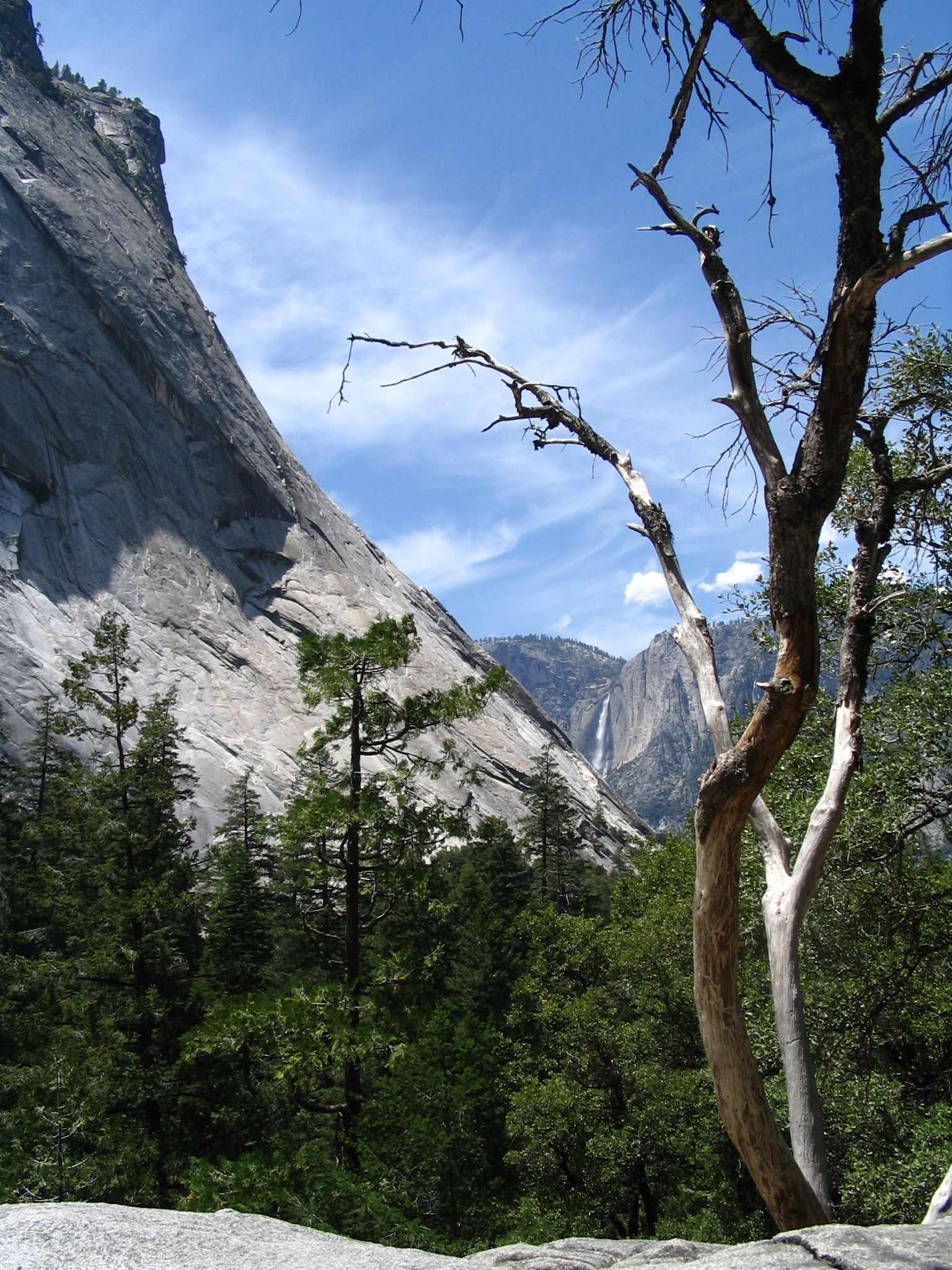
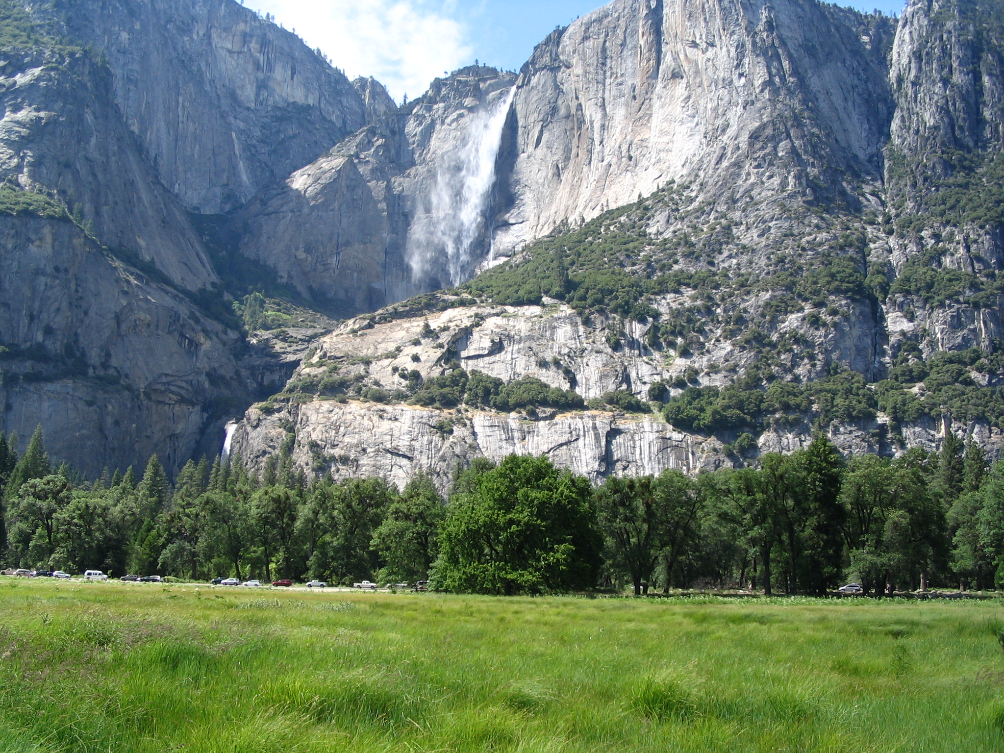
Back into the car for the ascent out of the valley, heading for CA120 and the drive over the Tioga Pass. There are some concerns about fuel, since we were less than quarter full when we arrived yesterday. However we made it to the gas station, with the gage beyond empty! Maybe it was just that we had been driving uphill! After gassing up and looking at a huge Raven, we drive along the Tioga Pass road, heading toward the desert east of Yosemite. Beautiful vistas everywhere, and occasional large stands of trees that have been burned by fire. One scenic vista after another. It’s incredible!
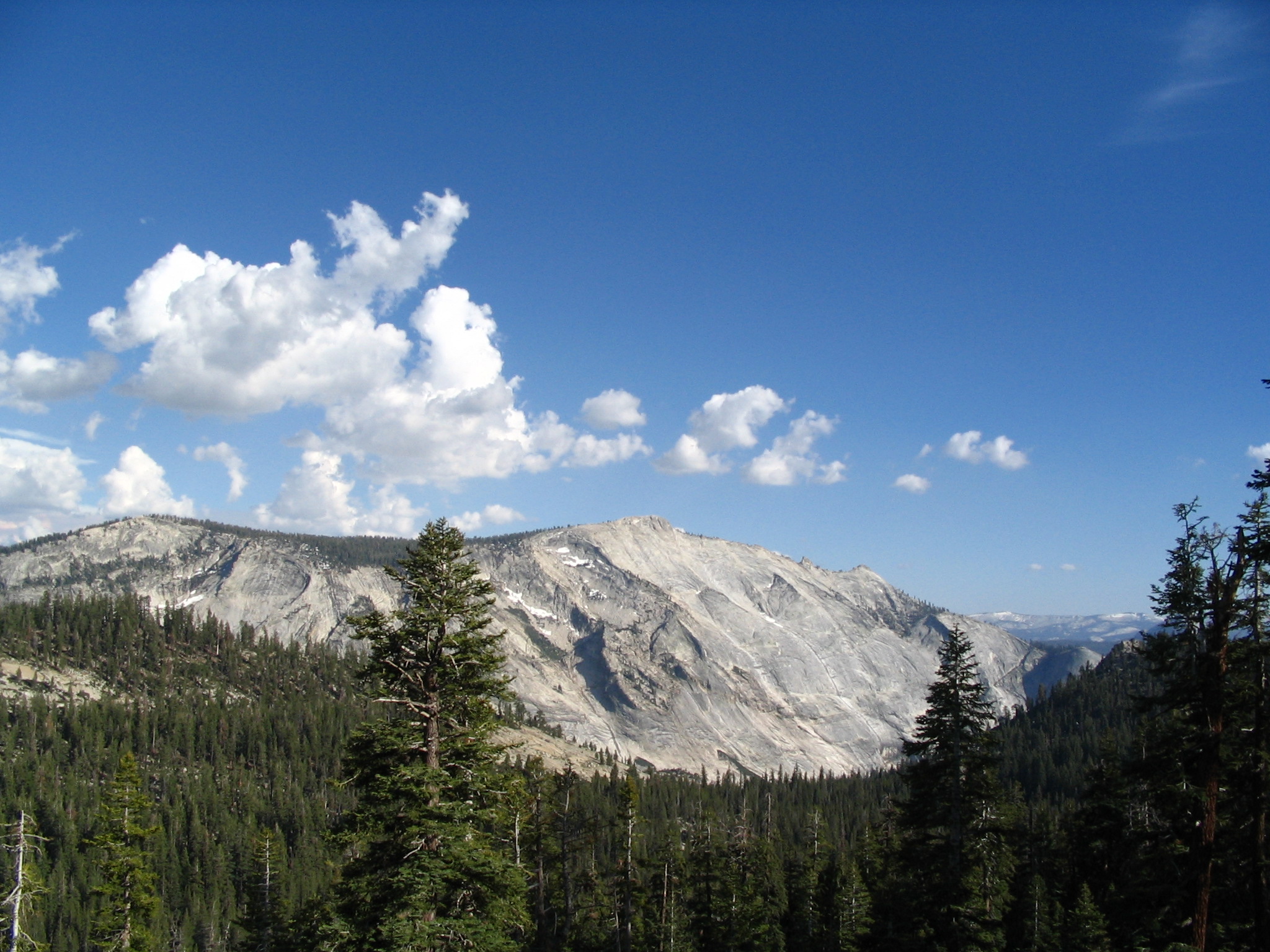
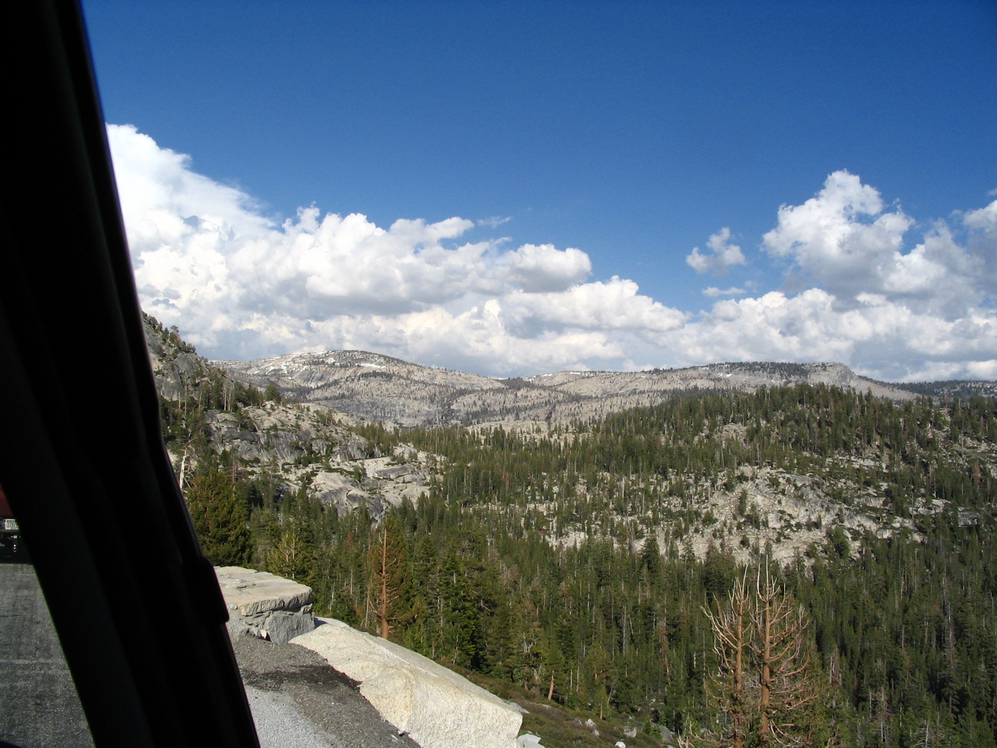
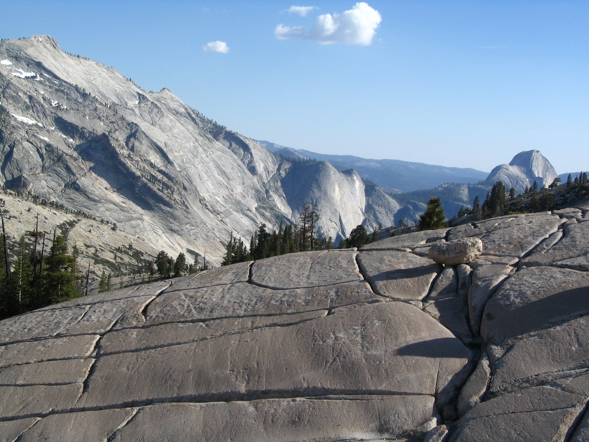
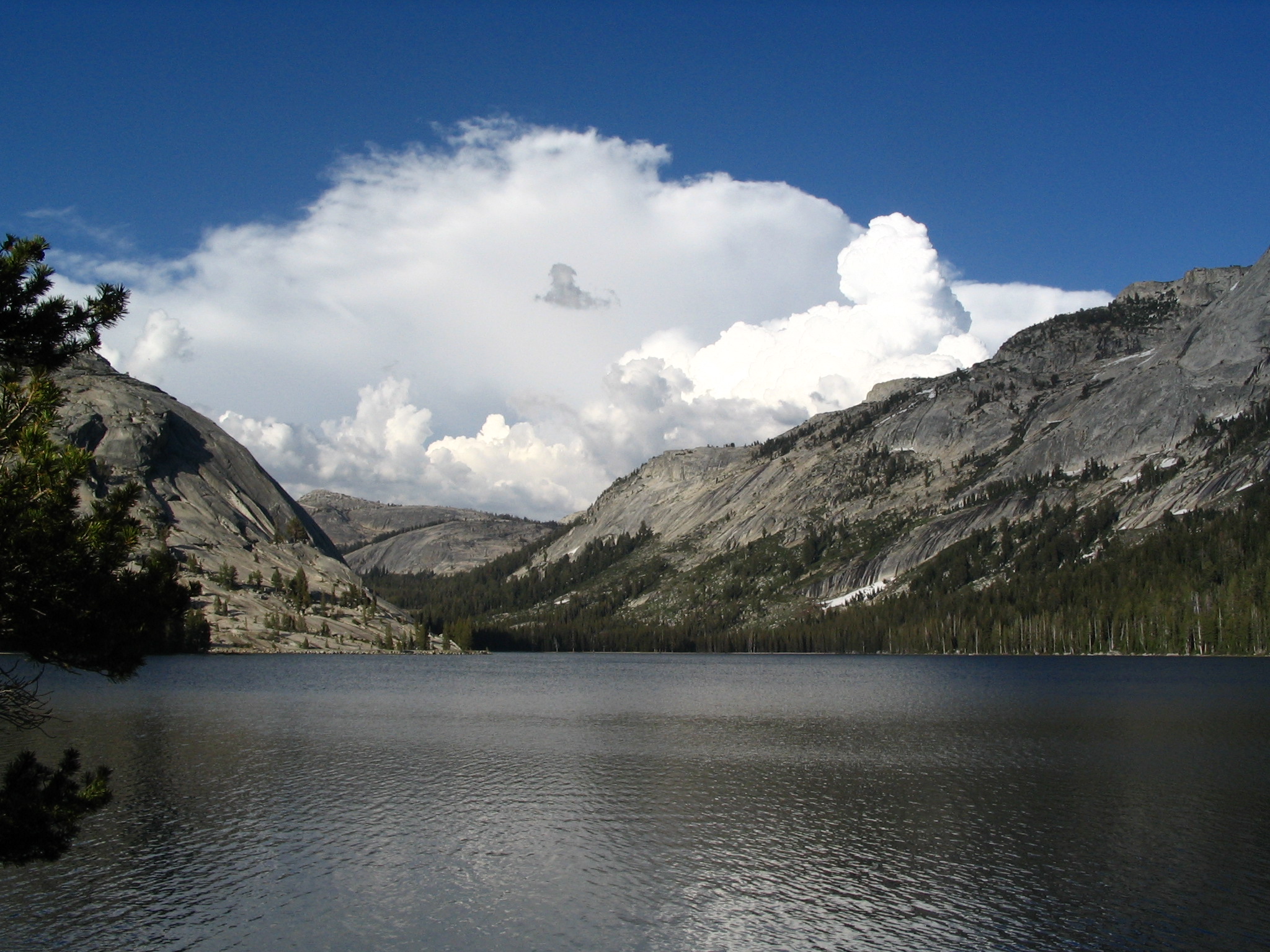
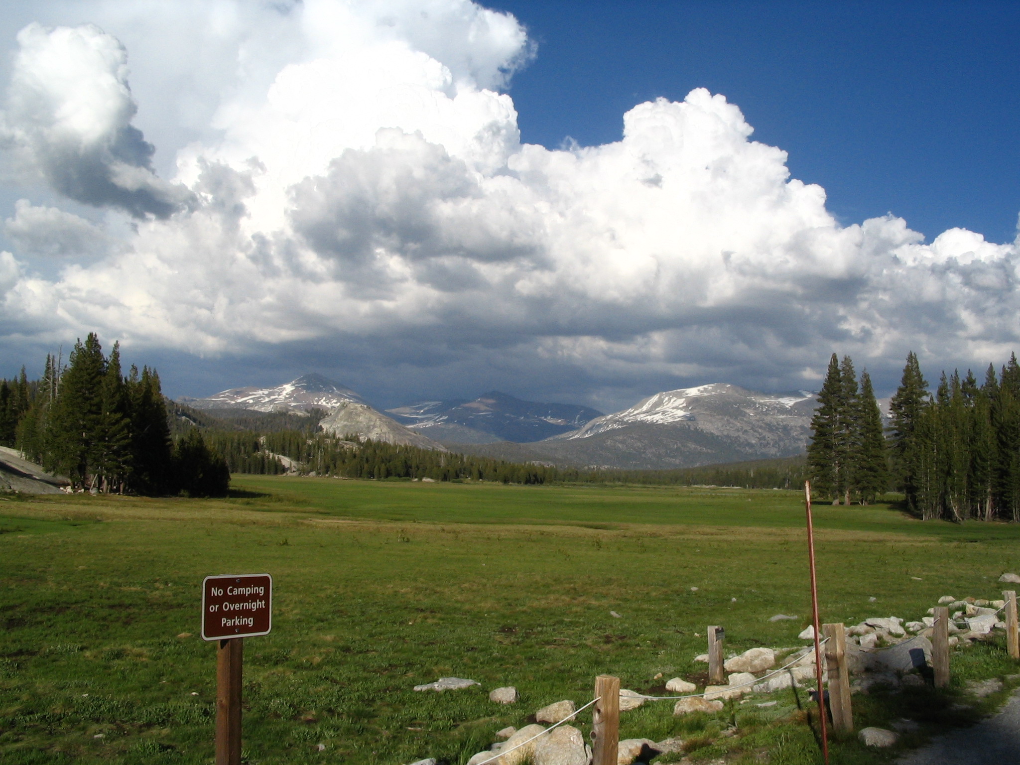
At some point, oh, no! The car’s engine light has come on! Hope it’s nothing serious! We drive on, in spite of it. Everything in the motor sounds ok. Finally we begin our descent, and even this is dramatic, with big drop-offs. However the vegetation is changing to more desert-like. At the bottom we stop at a gas station, but no mechanic is there, and it’s now early evening. We’ll check first thing tomorrow.
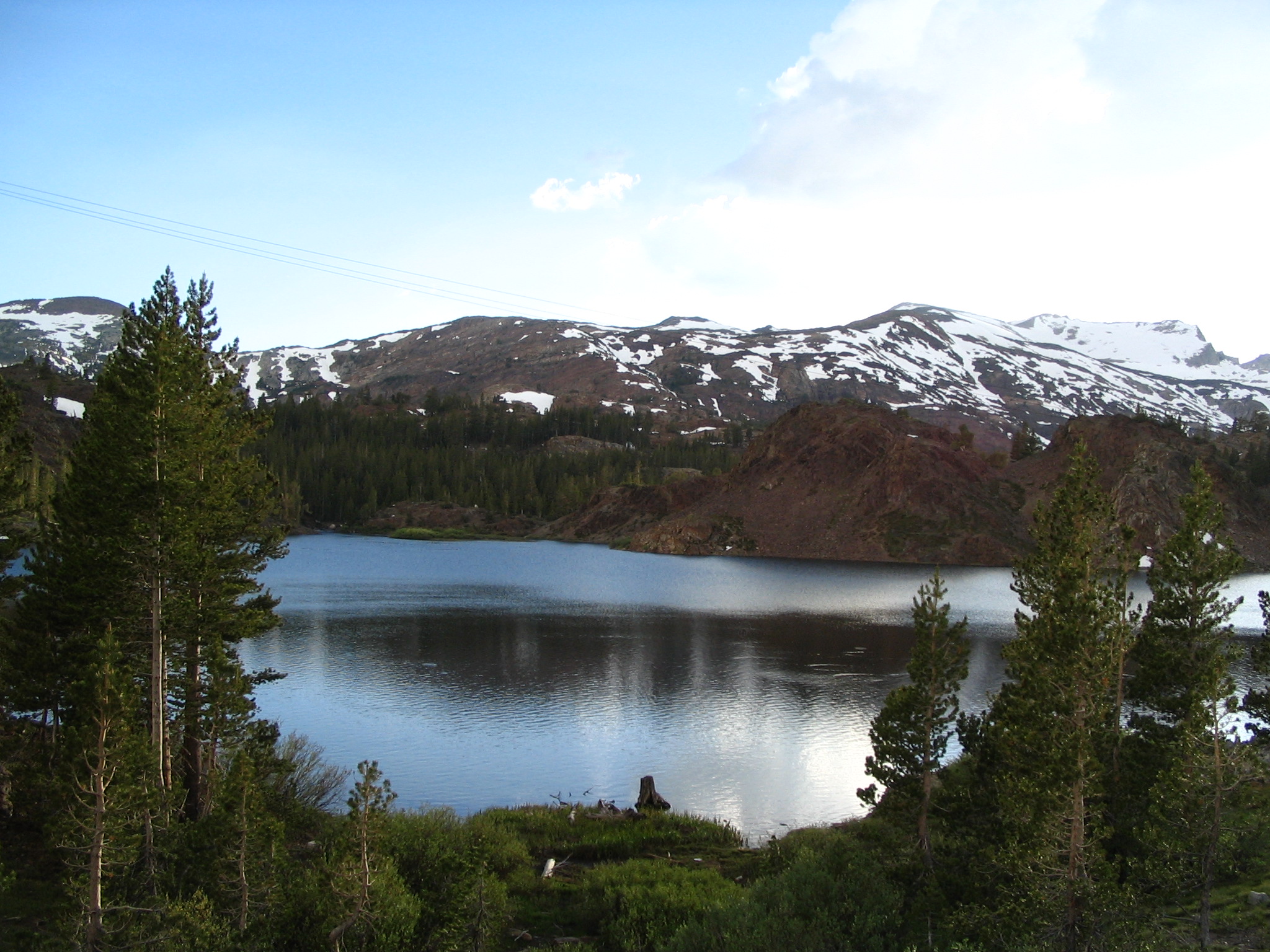
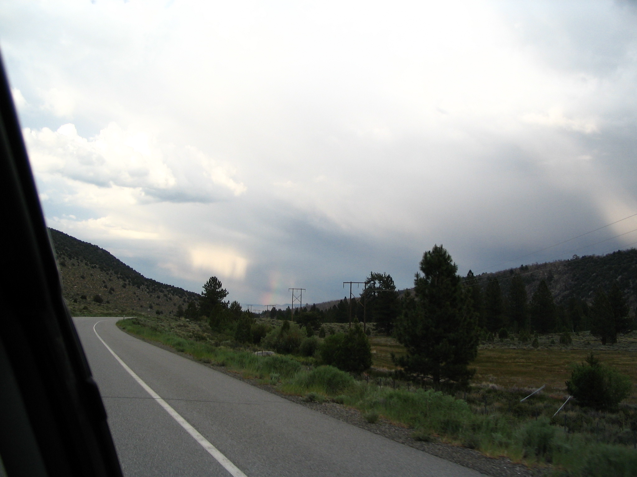
We get on US395 heading north toward the Nevada border. It’s nearly dark. As we drive, we see mostly tree-less mountains, and we go over several 7,000+ ft. passes; always in the background to the left are the snow-streaked high Sierras.
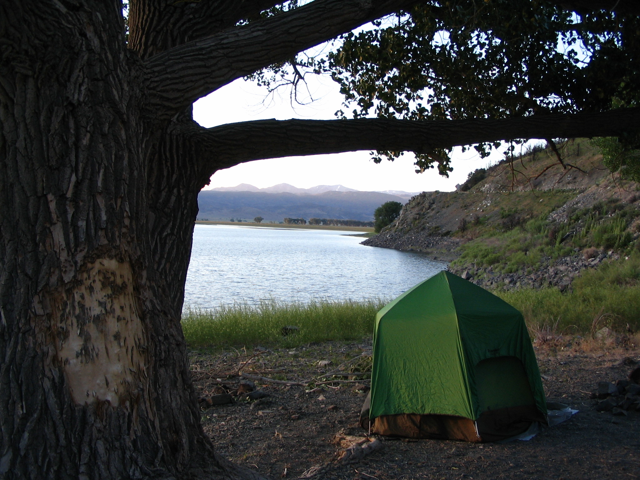
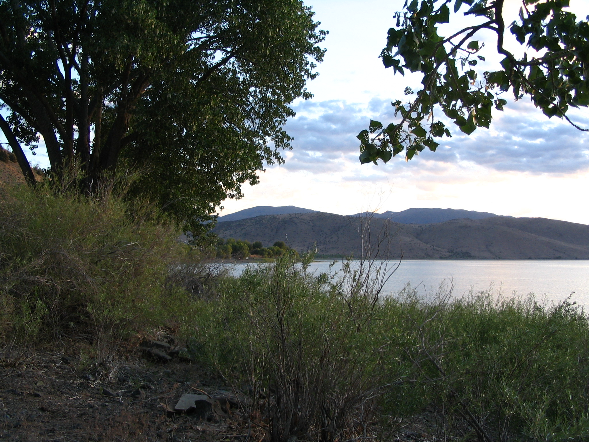
Finally near the Nevada border we come across Topaz Lake, really in the middle of nowhere. Ahead about five or so miles we can see neon lights on a structure: must be a Casino at the Nevada border. Indeed it is. We are now looking for a place to camp. We drive into an RV site, but see no tents. It’s now around 9:30 or 10pm. We go into the “general store” at this “resort” “casino”, and I ask about campsites. Some guy who has just bought beer with his wife? apparently hears my question, because by the time I get back to the car, he’s telling Courtney to follow him, and he will take us to a place along Topaz Lake where we can camp for free. So back into California, and to a very rocky beach with some high grass and a tree or two. Thanks to our friends, and they leave. We proceed to set up our tent on the rocky soil at about 10:30 or so.
Thursday, June 17 – Topaz Lake to Westover UT, via Carson City and US50
During the night, the silence is broken by an occasional fish jumping, and a car or truck passing by every fifteen minutes or so. Otherwise, total silence. Cold, too. 40’s. Thwaop! Wiggle, wiggle!! Strange sounds all night.
We break camp, and head up US395 into Nevada. In the first sizable town – Gardnerville – we stop at a service station with a mechanic, and he (Richard) checks the motor out thoroughly, disconnecting the battery cable for a few minutes. When the battery is re-attached, the engine light is off. He says that the computer in the vehicle may have sensed some emission standard out of tolerance, and I related that it happened at about 7500 ft., and also that a similar thing happened last summer to a new rental PT Cruiser at about the same altitude in Nevada. So we decide that this in not going to be a problem, and if the light comes on again, to just ignore it.
Before we leave, Courtney talks for a while to Richard about spiritual matters, and he seems receptive. We then continue north into Carson City (the Capitol of Nevada). We stop at an outfitters store at 8:50 (the guy opened early for us) and bought an air mattress for me. He also suggested that we cross Nevada on US50 rather than I-80. We next stop at a Safeway for some groceries, and debate about which route to actually take. I’m concerned about the air conditioning not working all that well, and we almost immediately pass a repair shop. They are able to take us immediately, and do a re-charge of Freon for $54.00.
So we head out on US50 – “the Nation’s loneliest highway.” In Fallon, we stop for a break, and are parked next to a women with a cute young child in the front seat. We wave at the child, and just before leaving notice some Christian bumper stickers on the car. So we ask the women if she is a Christian, and she is! It turns out that her husband is involved in a radio station nearby that features “Christian Rock” music, and she is delighted that we talked. She suggests that we hold hands and pray before we leave. It was really a sweet and God-filled moment.
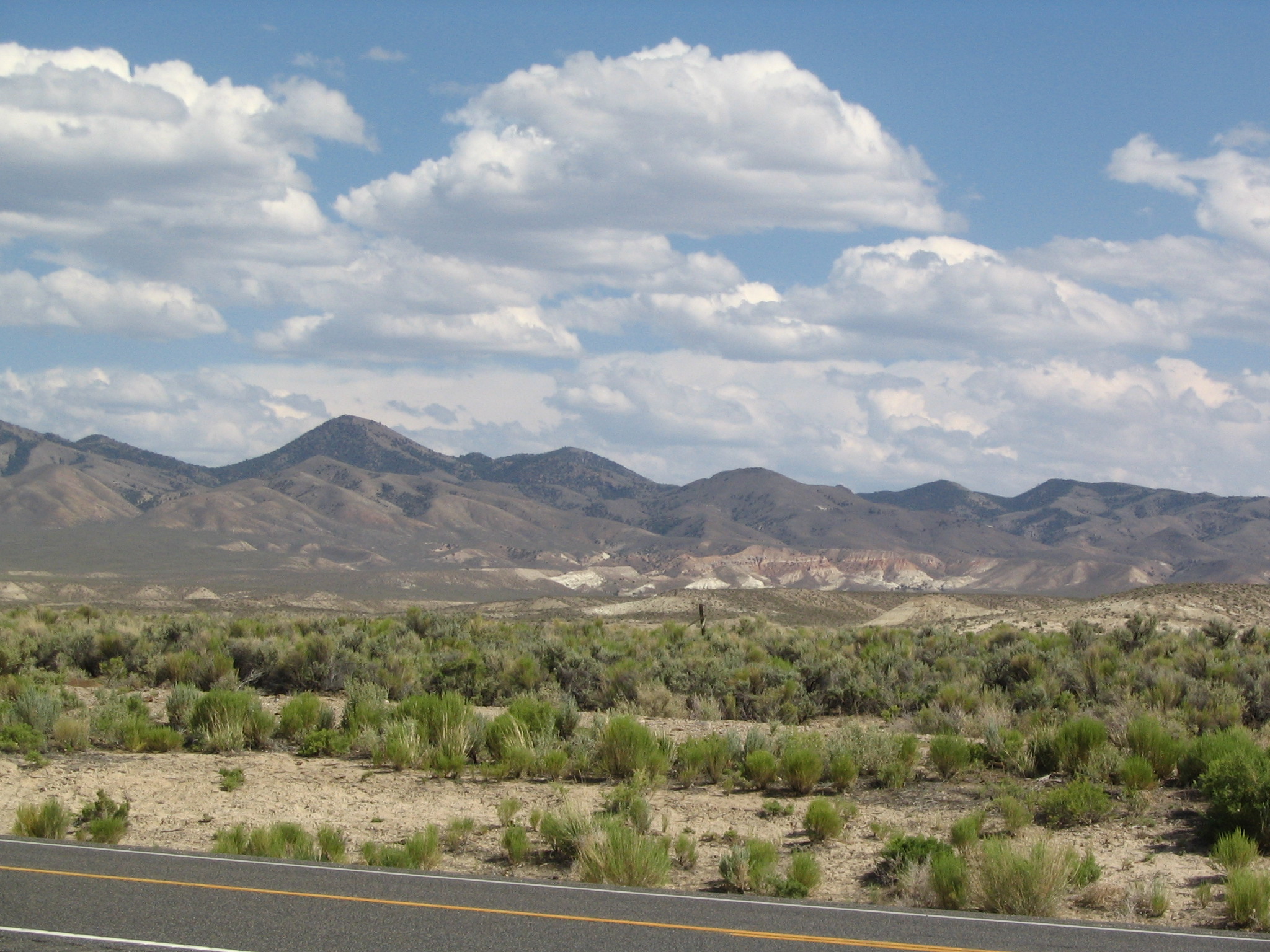
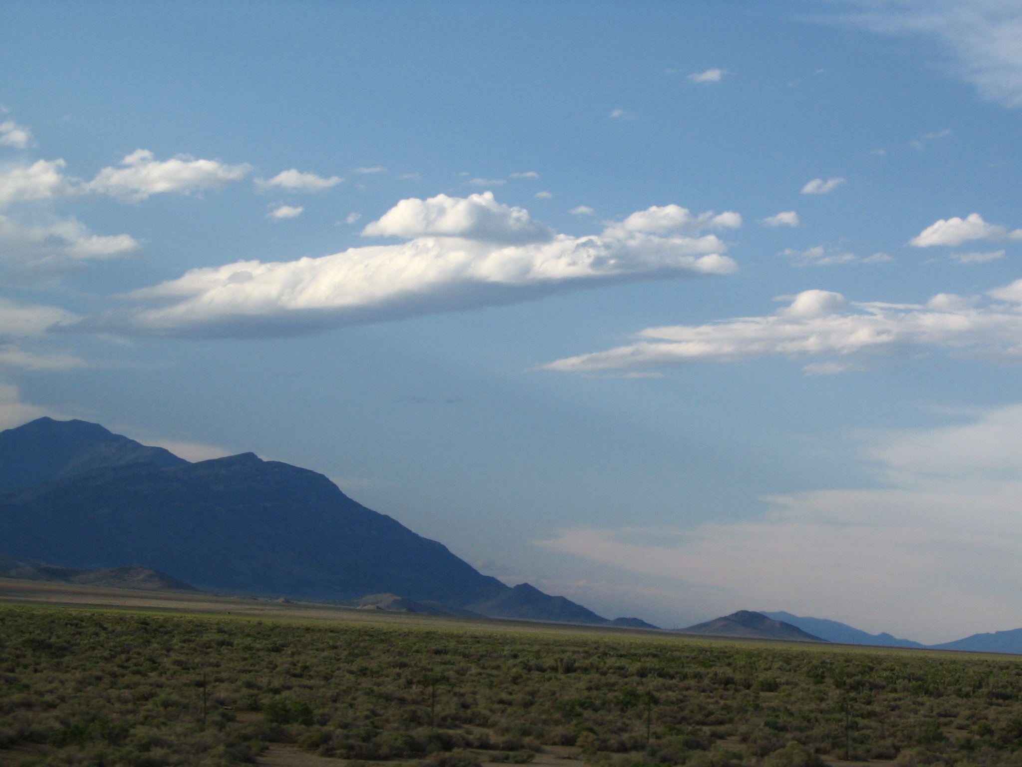
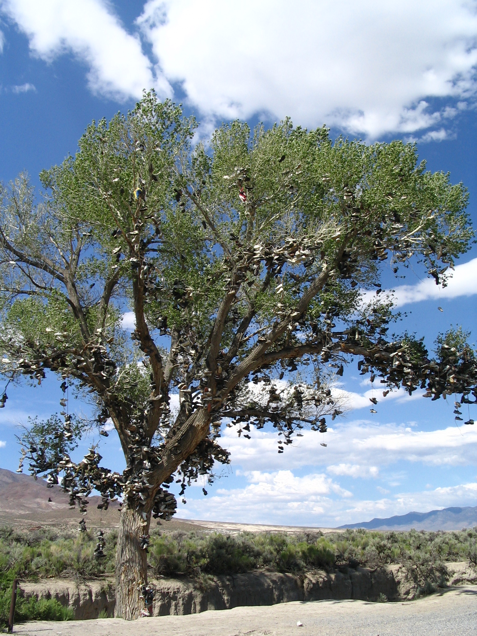
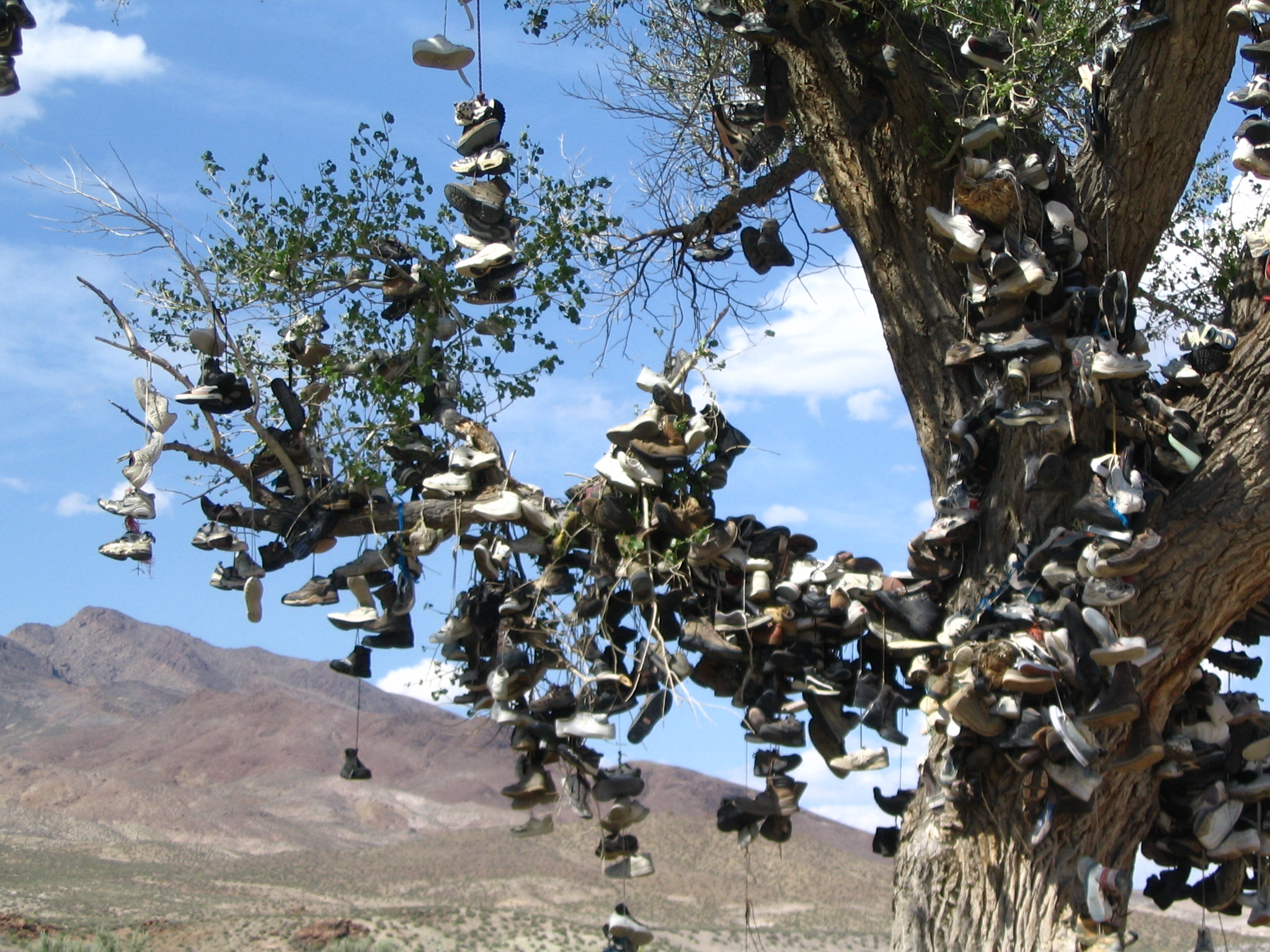
The further east we travel on US50, the sparser everything is. We climb up mountain passes, and at the top can see to the next one, and the highway in between maybe stretching for 15-20 miles – and no evidence of human life anywhere. It is both desolate and indescribably beautiful. Because it has recently rained, there is a hint of green in the landscape. At one point however, we come over a hill and see – in the middle of nowhere – a tree containing hundreds of sneakers draped over it. It is bizzare!! After hours of this travel, we finally reach Ely, where we will turn north on US93 to join I-80 at West Wendover. We stop for a pizza in a pizza shop before heading out. Note that in one of the passes up around 7000, the engine light reappeared. Big deal!
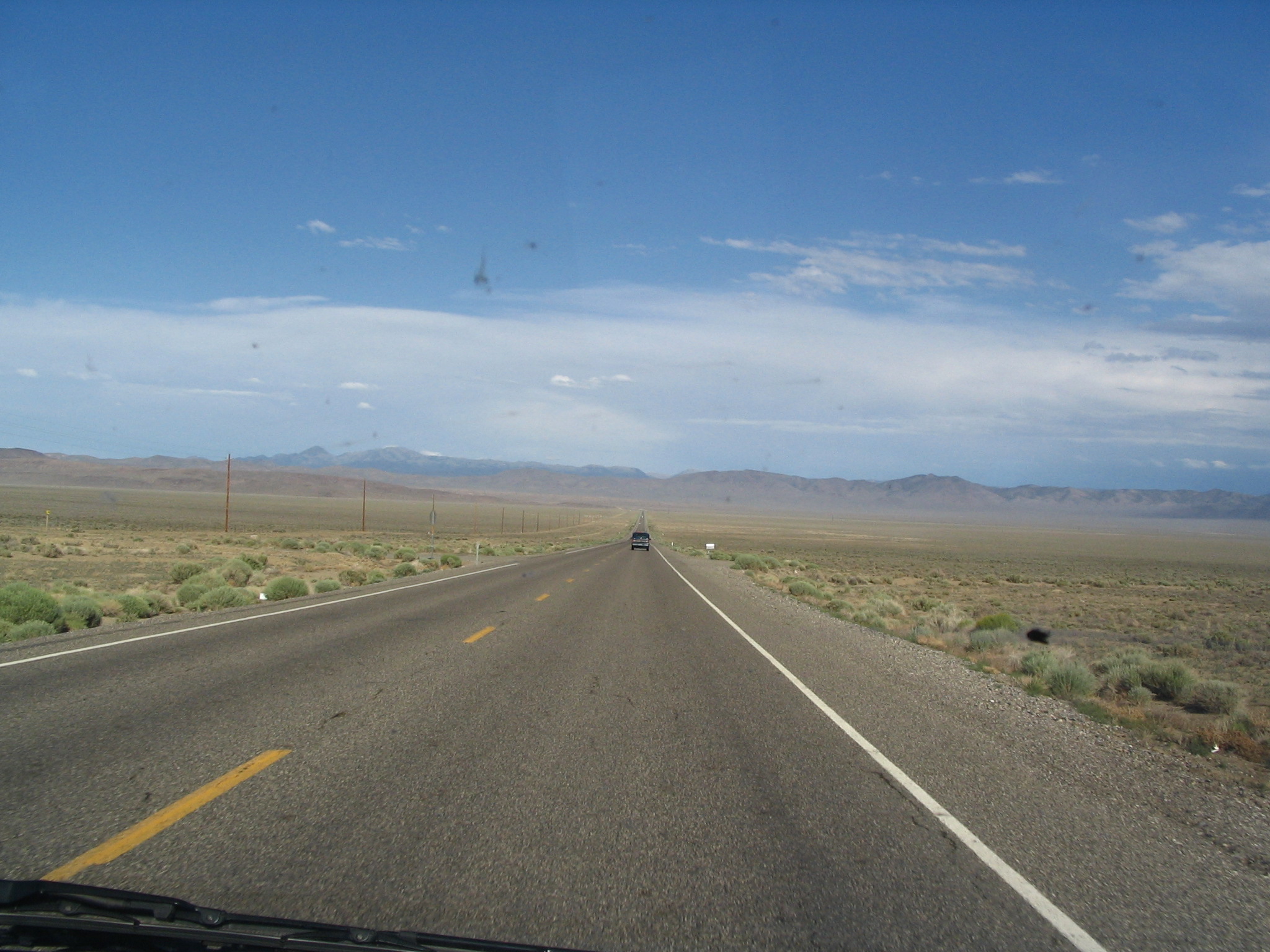
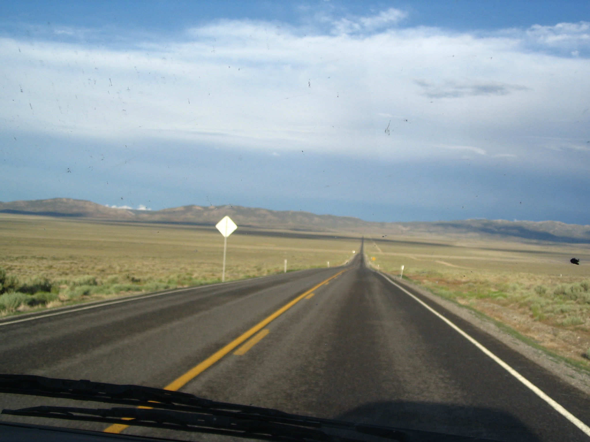
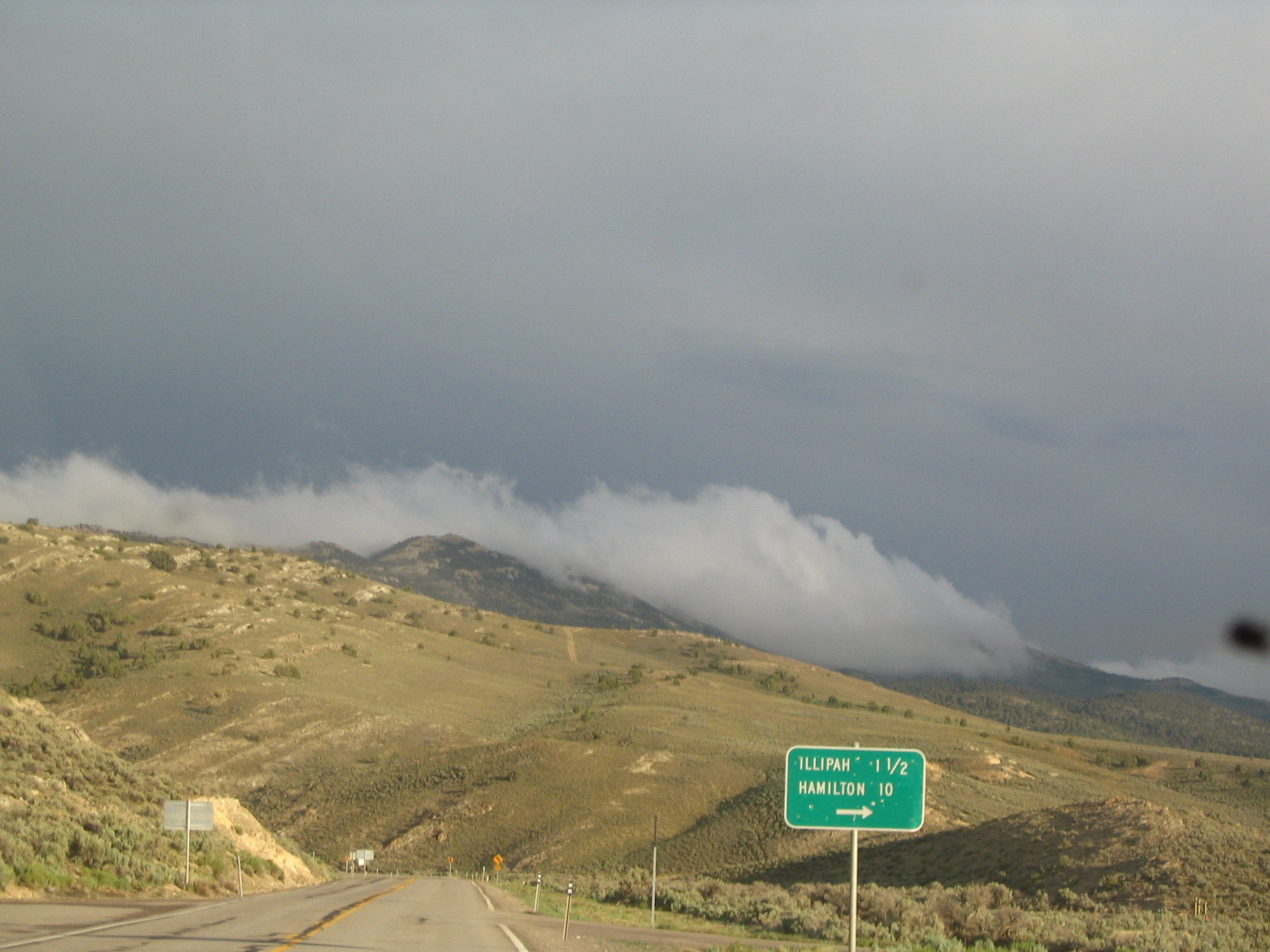
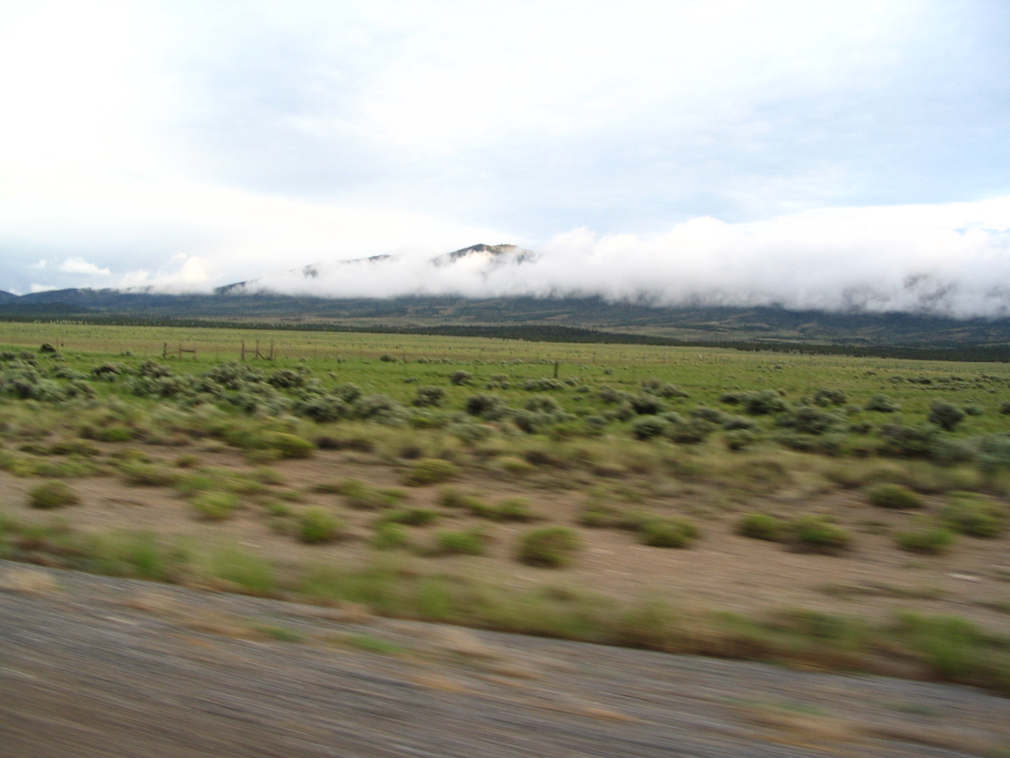
As we head north on US93, there is real concern about deer and elk, so we are not totally relaxed. We are generally driving at about 85 mph in 75 posted zones. Imagine, two-lane highways posted at 75! We arrive at West Wendover, NV at about 10:30, and start looking for either a campsite or a cheap motel. The one area where we might camp seems a bit risky, so we decide to cross over into Wendover, Utah, to see if the motels are cheaper (since there are no slot machines on that side of the border). We find a $29.00 motel, and take a room. Beds. Showers. Heat. TV. Watch an incredible surfing documentary as we settle down for the night.
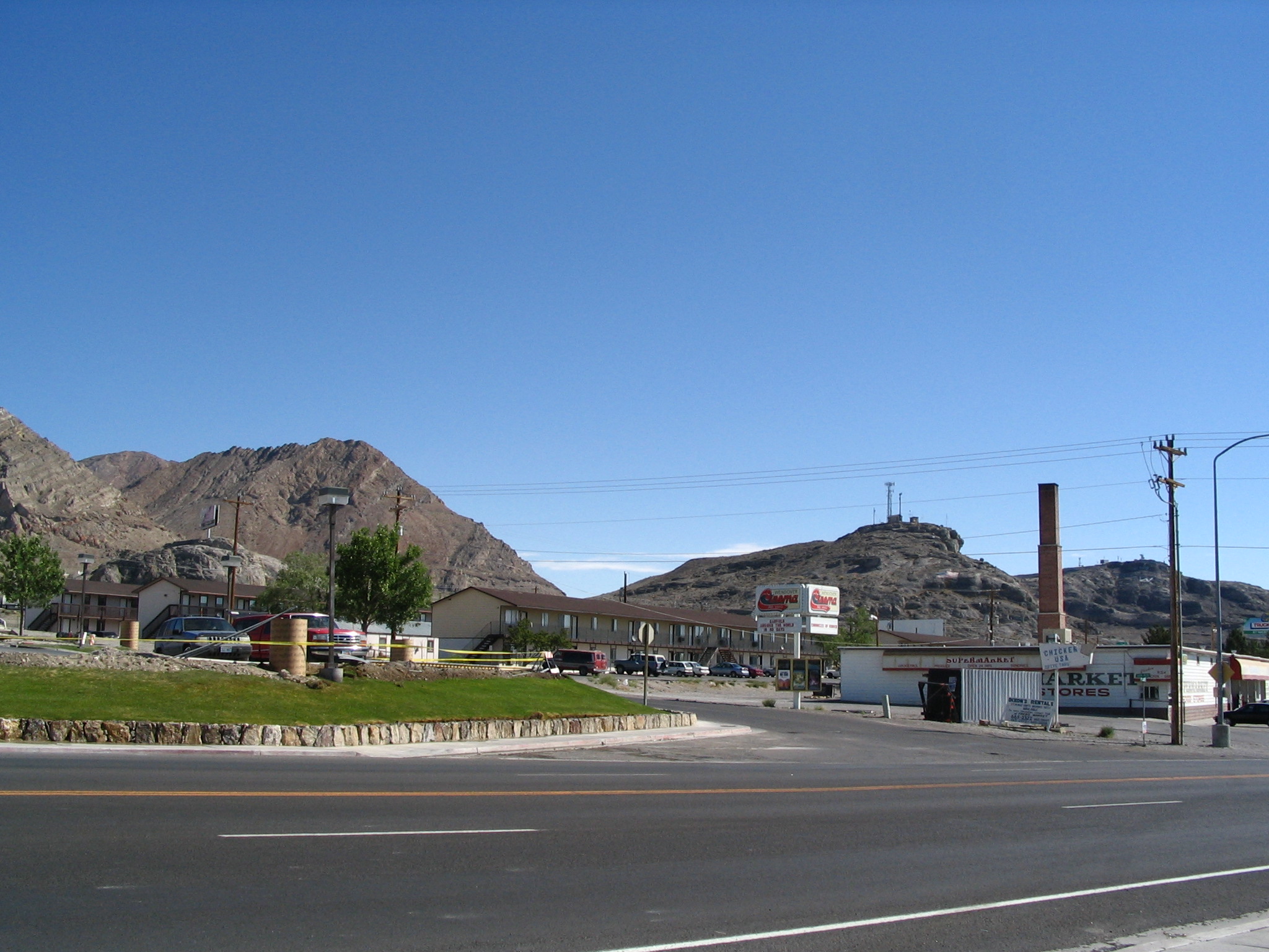

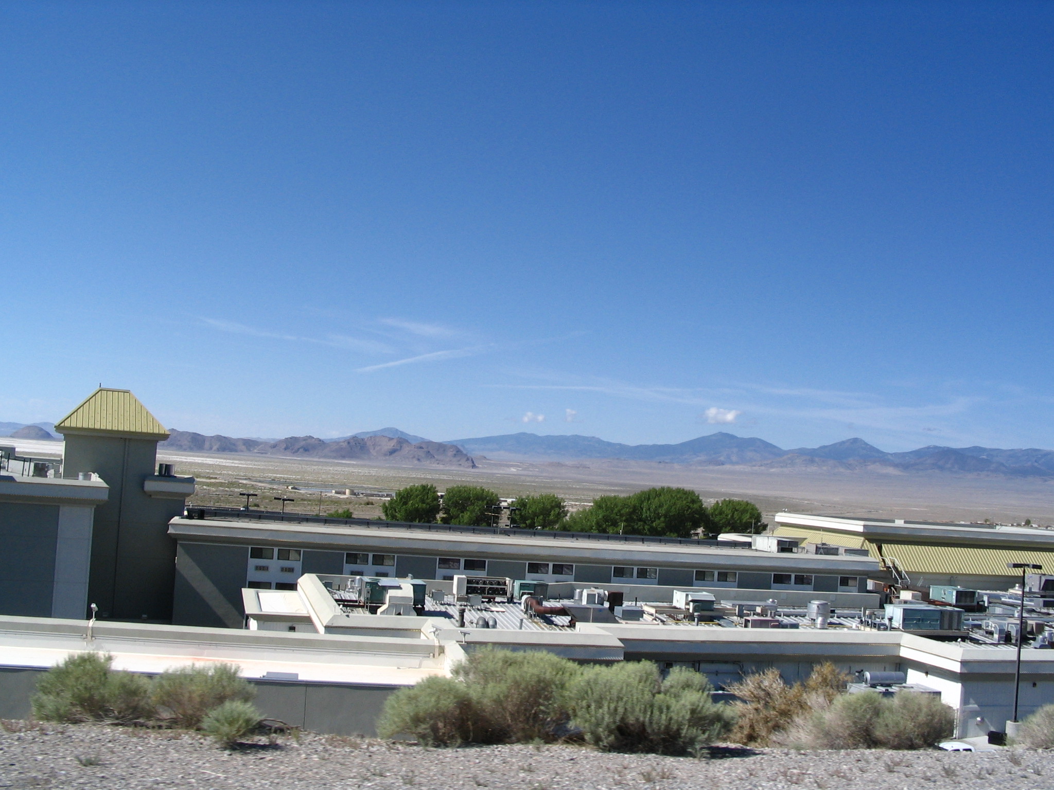
Friday, June 18 – To Montpelier ID on US89 via Salt Lake City
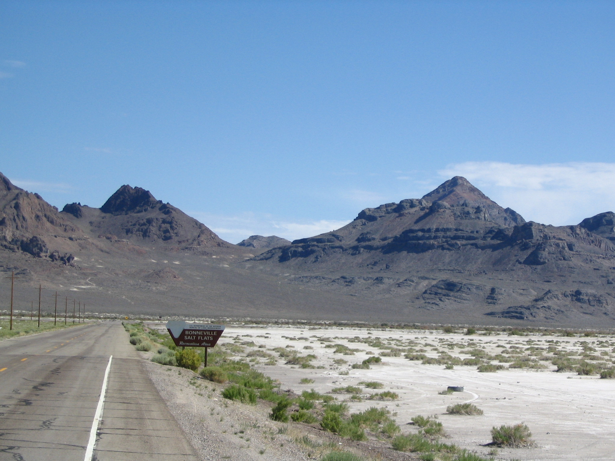
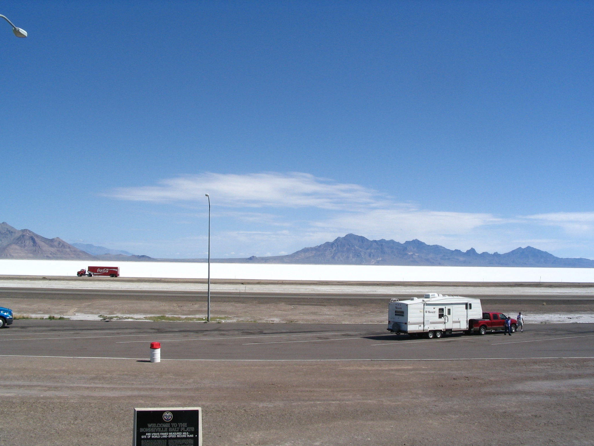
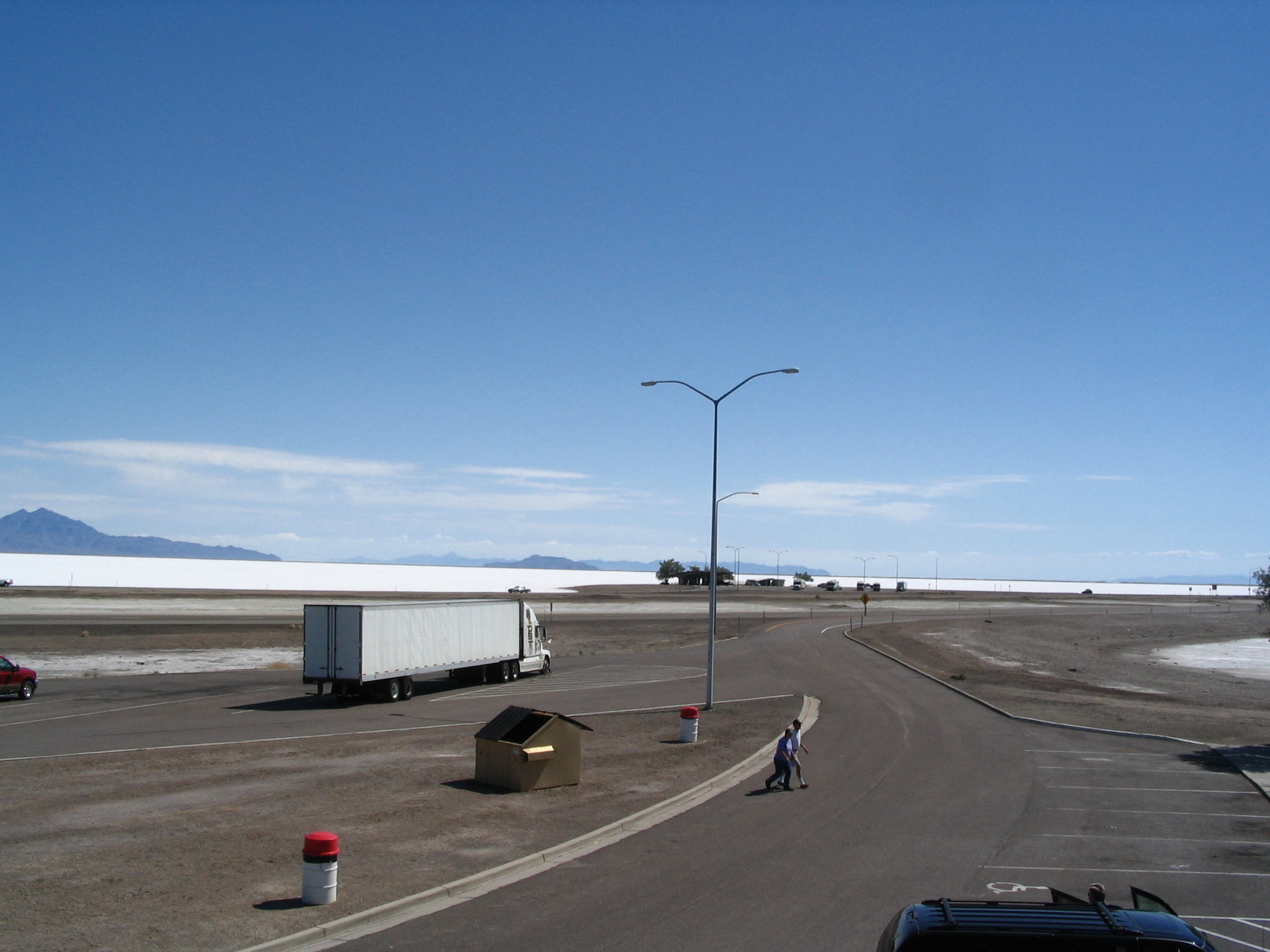
We get on to I-80 going east for s few miles, and then get off at the exit for the Bonneville Raceway. However, the drive to the actual site seems too long, so we get back onto I-80. This is some of the flattest land on earth. For about around 50 miles, I-80 is absolutely straight, with salt flats on either side stretching to the mountains at the horizon. It’s amazing.
At the end of the straightway, we begin to climb, and the terrain becomes a bit rolling. Up ahead are moderate mountains, with snow-capped ones in the further distance. We circle north of the nearer mountains, and stop for gas at a Flying J plaza. At some point in our stop, Courtney witnesses to a person named Mallory. Leaving there, we come upon some exits for Salt Lake. Well, naturally we want to check it out, so we pull off and drive up to this impressive looking structure on (or near) the shore. It’s in some dis-repair. We park, and see a couple of motorcyclists nearby, and start talking with them (Bobby and Claudette). We talk for at least a half a hour about motorcycles, the world, and the Lord. It turns out that Claudette is a believer, and Bobby is reading the Bible and talking a good look at following Christ. We end up praying with them, say goodbye, and set out walking to the water.
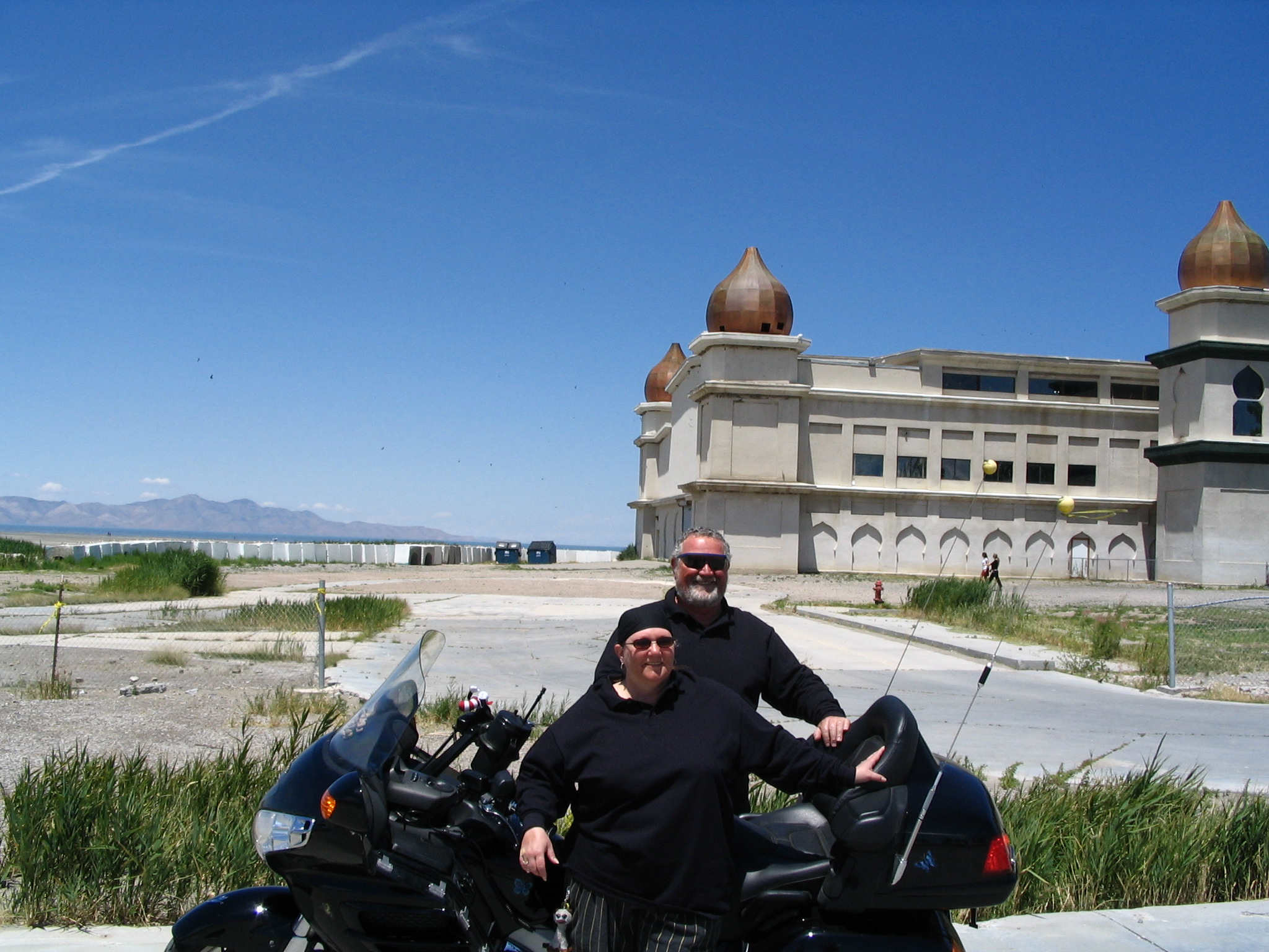
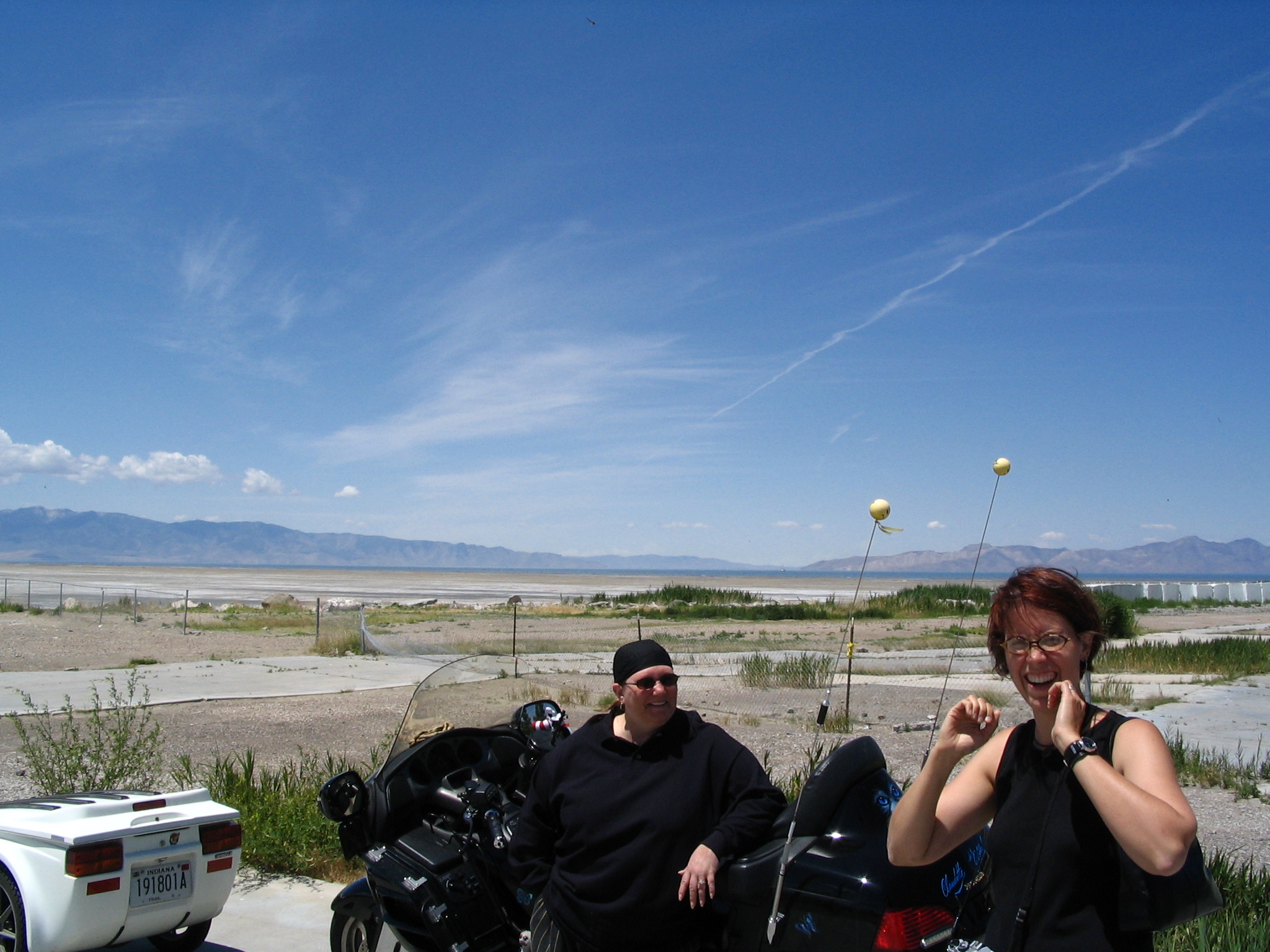
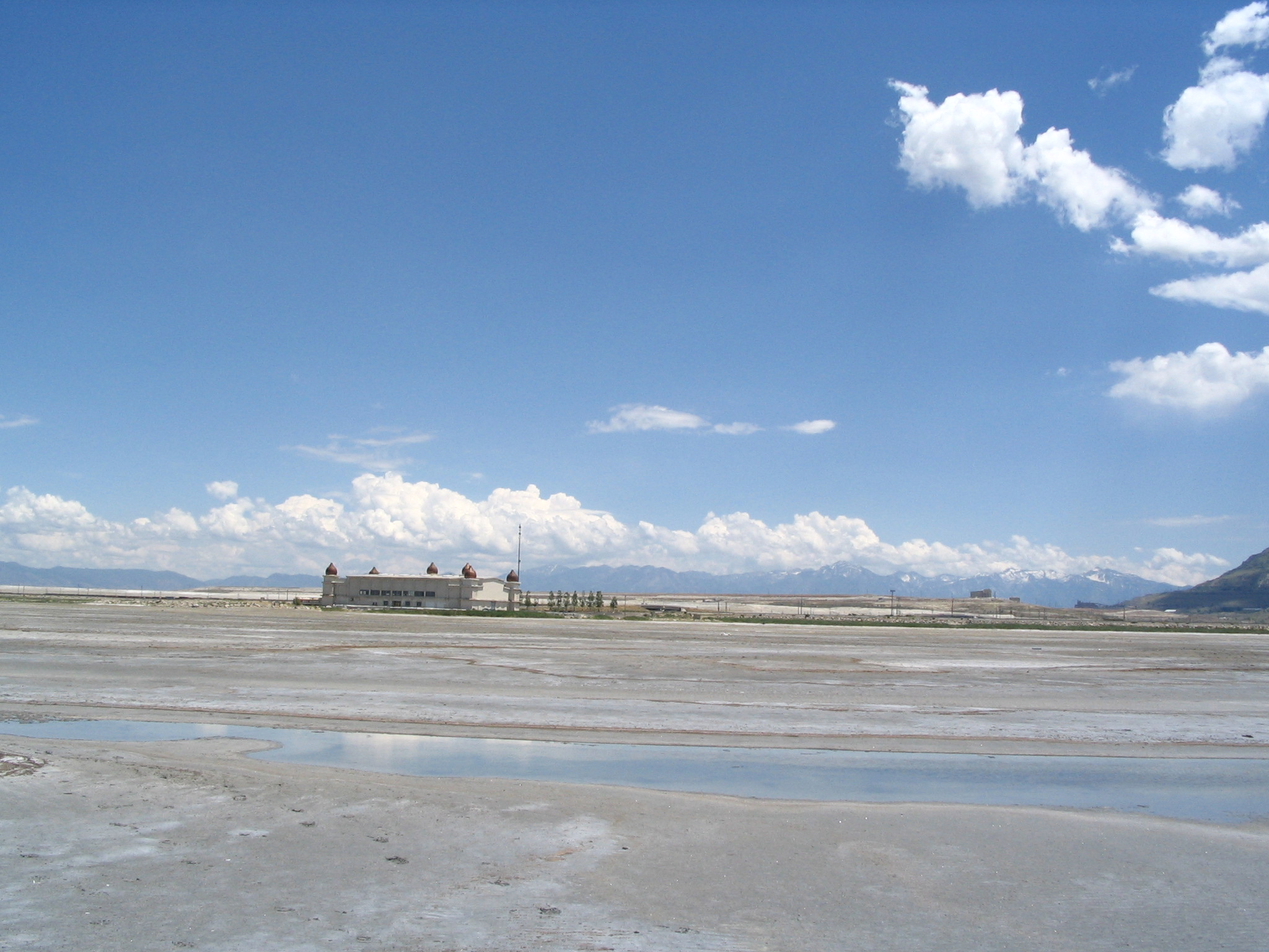
It is maybe ¾ mile to the water’s edge, over salty sand. We can see a few people in the distance as we begin. By the time we reach the water they have left. After wading a bit, Courtney decides that she must swim, and since there is now no one around, she decides to throw caution to the winds and go for it, asking me to turn the other way. I do so, and walk down the beach. At one point I turn around, and there in the distance is Courtney floating in the water, apparently with ease. By this time a woman is walking toward the water, and Courtney meantime is having trouble locating her clothes – her glasses are there. She apparently ran up and down the shore, looking for her clothes, like a streaking salt-bird.
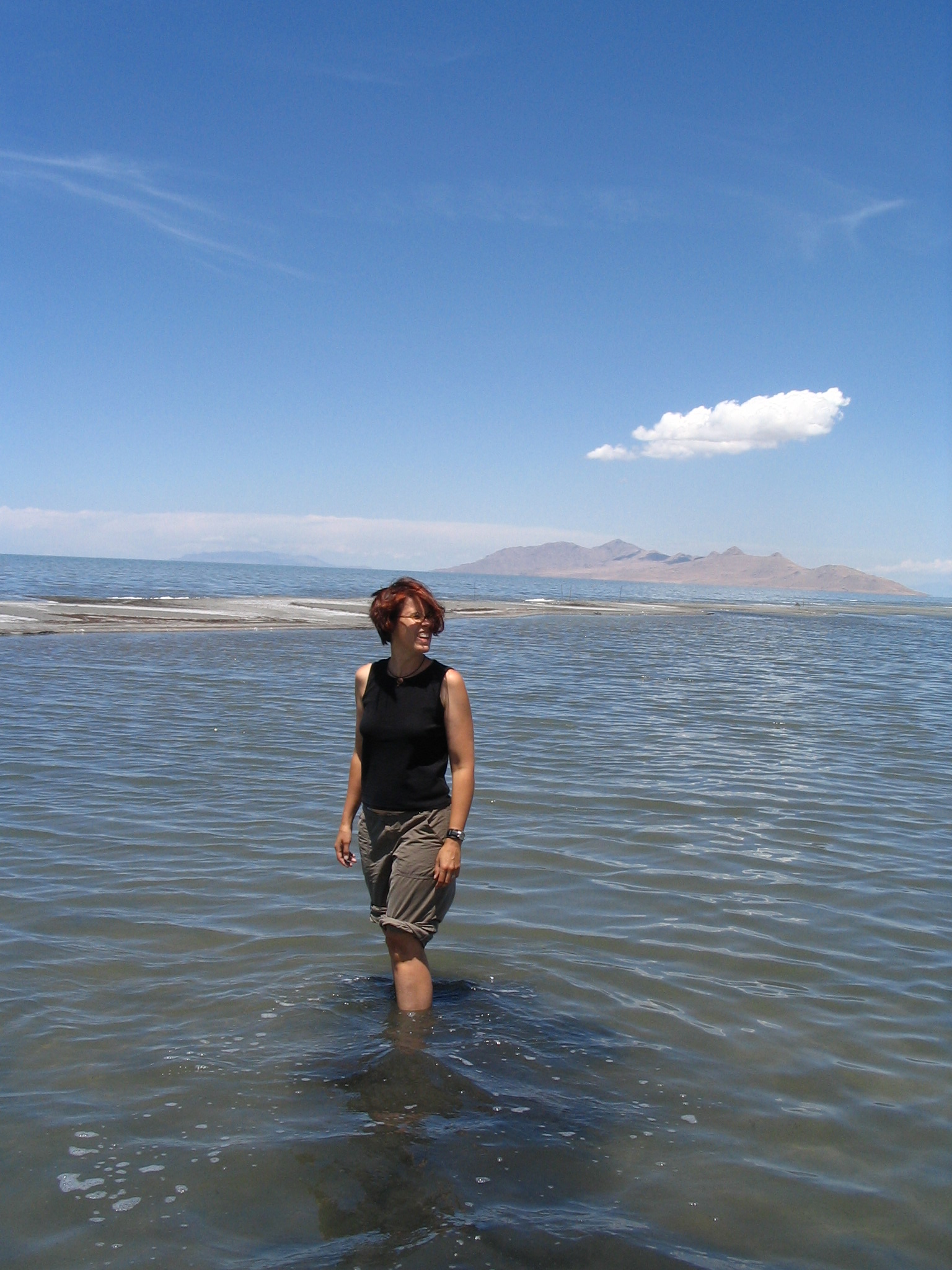
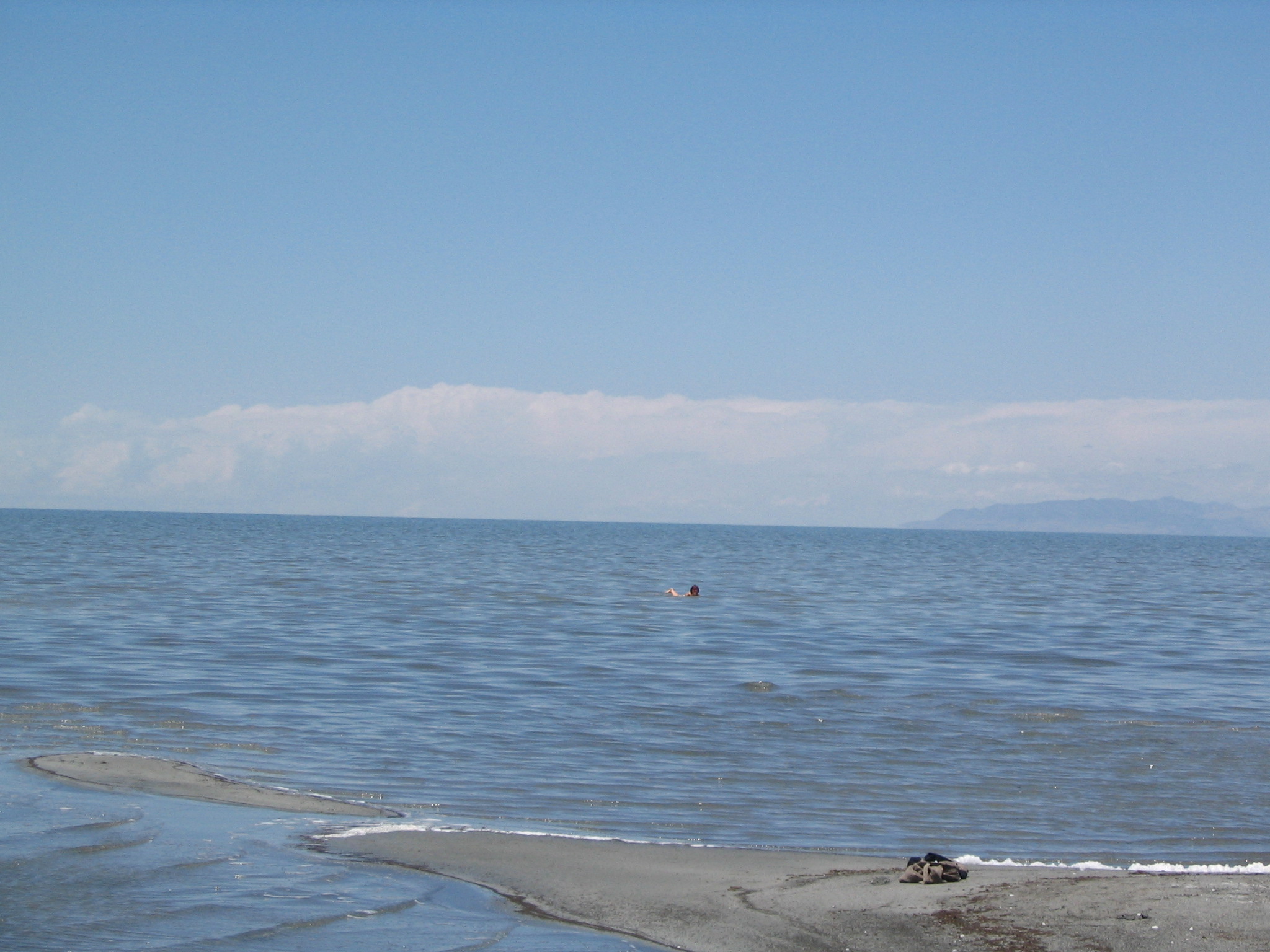
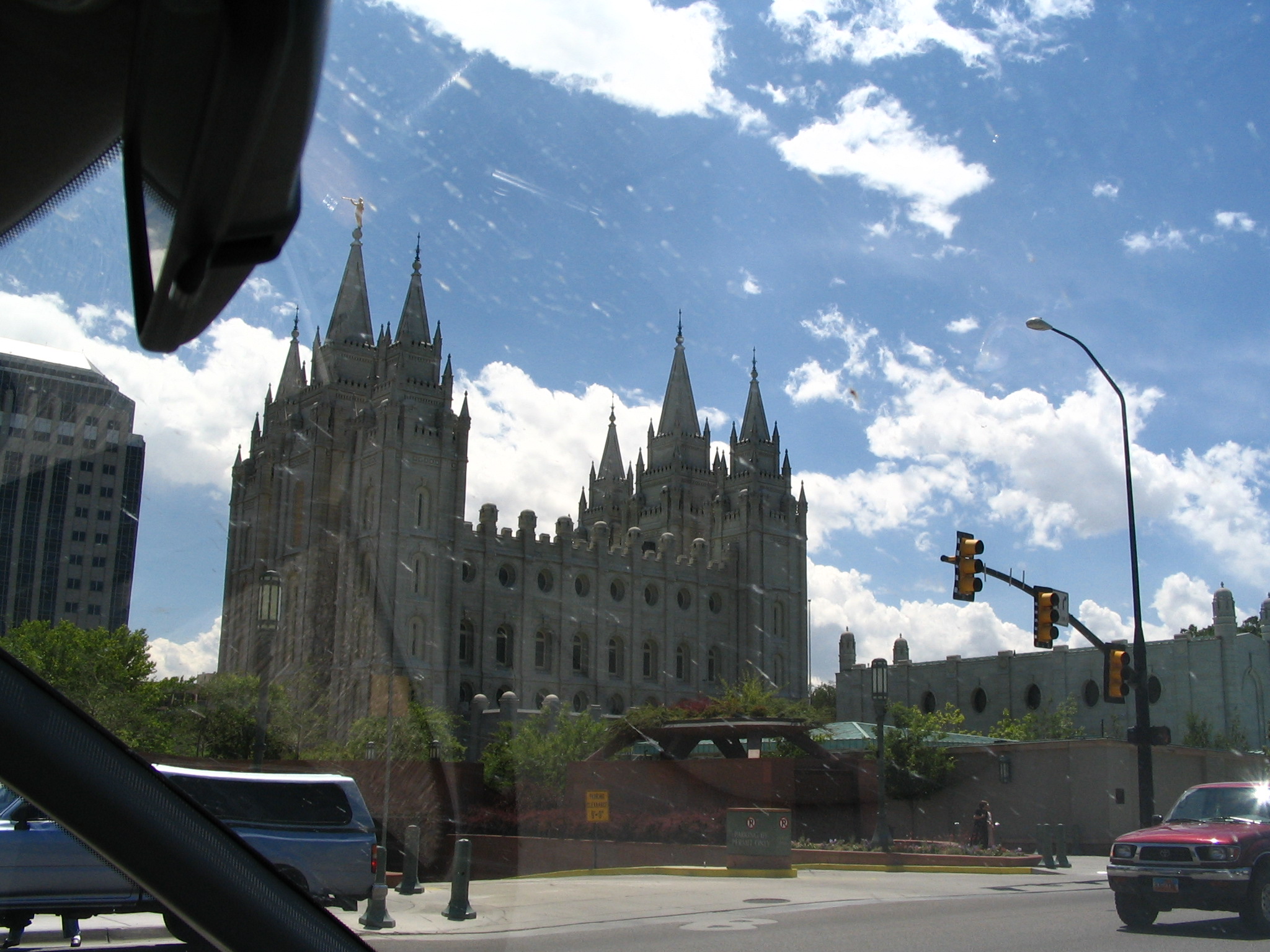
By the time we got back to the car, we were dry, by now caked in salt, as if in early stages of leprosy. Me just up to my knees, but Courtney all over. We drive into downtown Salt Lake City, nestled in a valley, with snow-capped mountains as a backdrop. Everywhere you look there are clean-cut, modestly dressed people – Mormons for sure – and none of the visual dissipation that we have in the east-coast cities. Courtney get the idea to wash her salt off in one of the fountains in Temple Square, so I drop her off, and she actually does immerse herself, near a tour-group getting the spiel from a guide. A women next to Courtney upon witnessing her dip, says, “Good for you!”
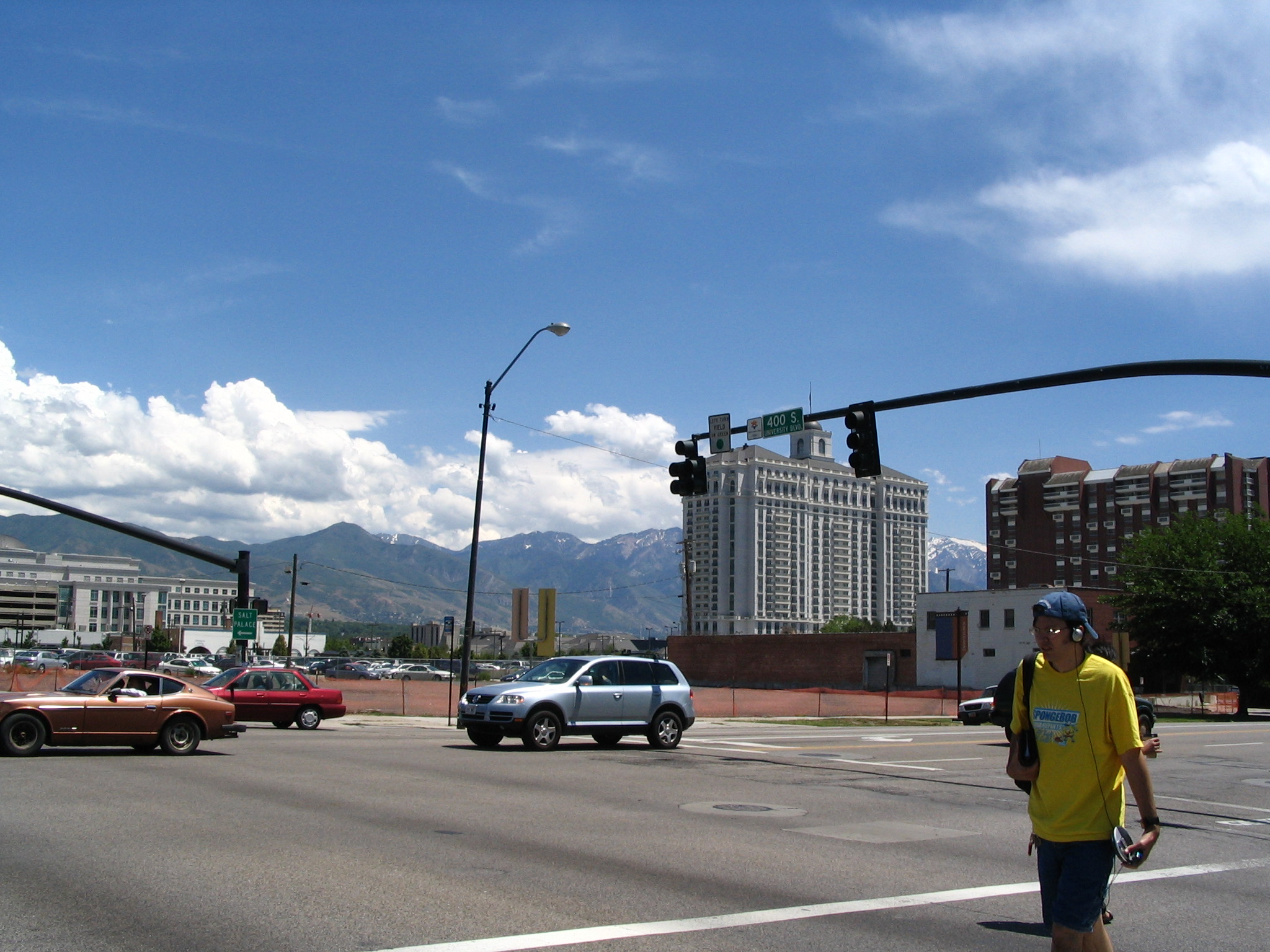
Back at the now parked car, we decide to go inside a downtown mall and get something to eat from a food court. There was some Thai fast food, so that’s what we got. It was weird being in a shopping mall and seeing modestly-dressed teenagers! We finally left Salt Lake City behind, and headed north on I-15 until Brigham City, where we got off and onto US89. We stopped at a Wal-Mart, and Courtney talked for while about the Lord with a hippy-looking young woman (Donna) in a car.
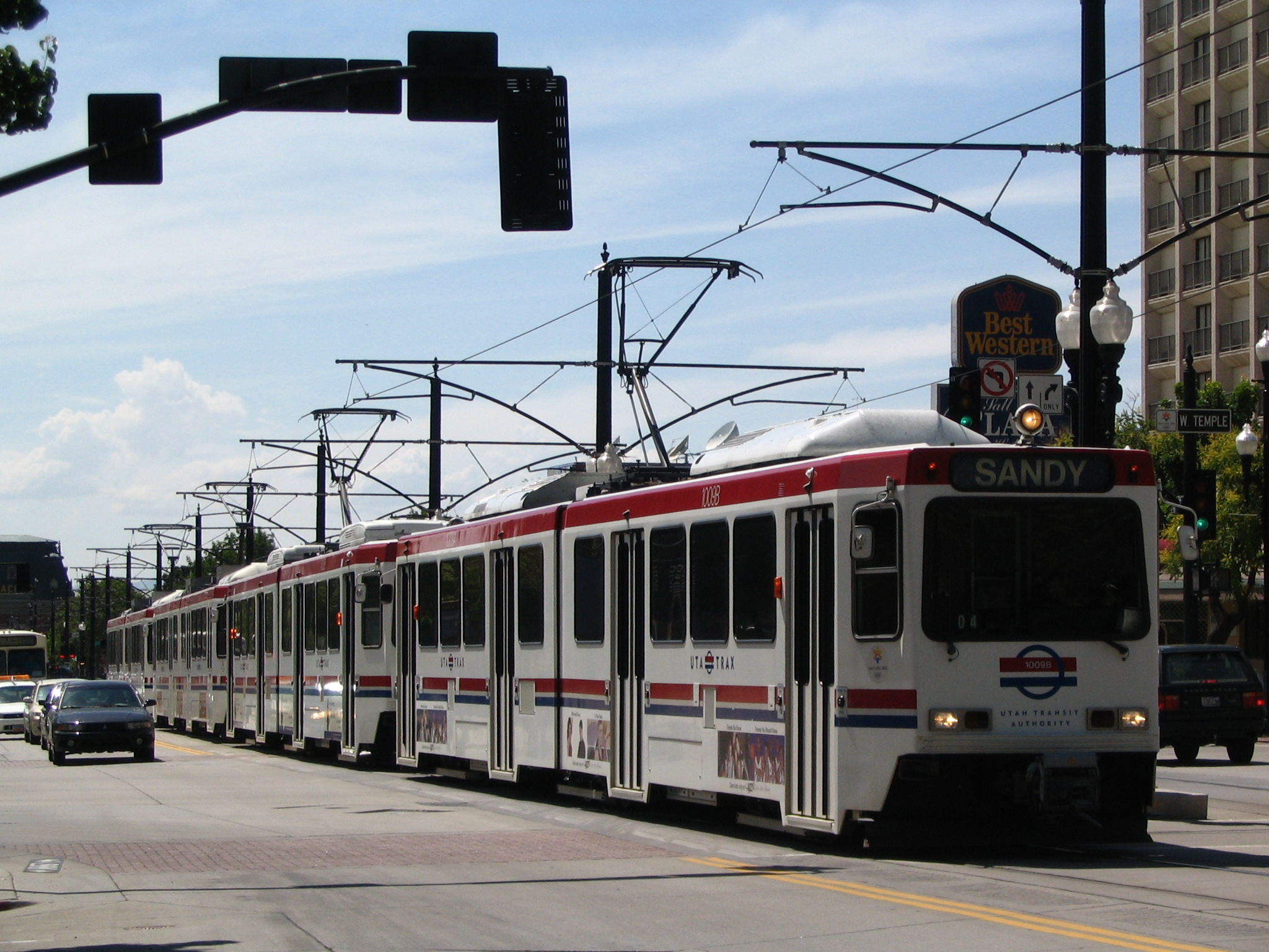
After shopping there, we headed north through a mountain pass and by some gorgeous scenery and down into Logan. As we were passing through, the wind began to pick up and soon the entire city was engulfed in dust – a dust storm. It was strange. We stopped for a while at a music store, and Courtney practiced her bass playing while I look for “The Apostle” and “Tender Mercies”. Everyone was very nice there. We left and found a Wendy’s and a Kentucky fried Chicken on the north end of town, and after eating, headed north again on US89.
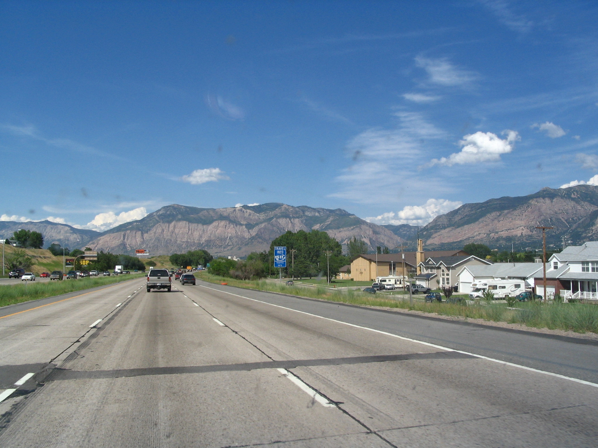
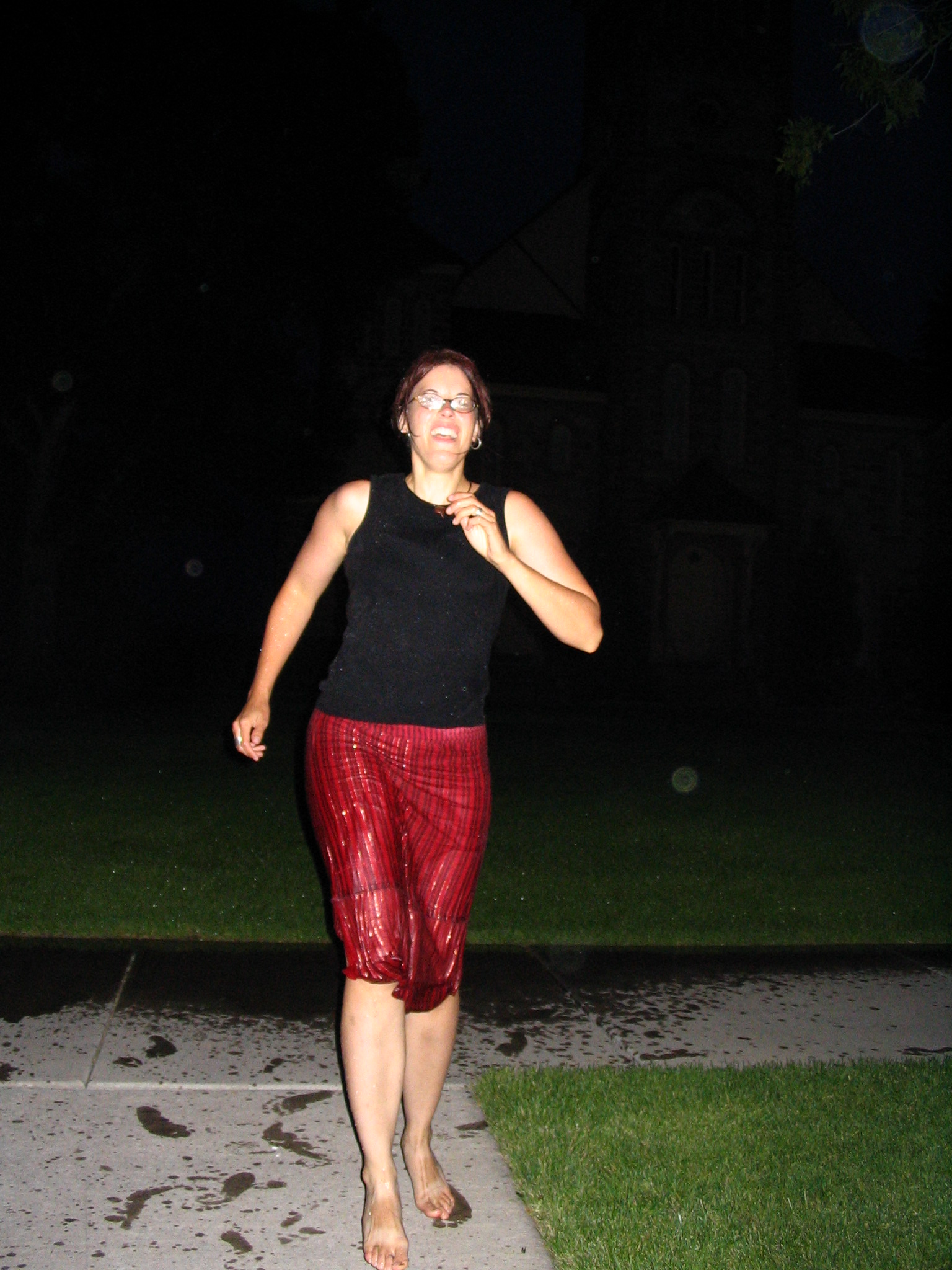
From this point on until we reached Nebraska five days later we were never out of breathtakingly beautiful scenery, mostly mountainous. At some point in Idaho we came across a sleepy town by a lake, and passed a large Mormon temple with the sprinkler system turned on, and the town totally devoid of people. Courtney said that she wanted to run through the spraying water, so we pulled up next to the site, turned on a danceable CD – it was now late dusk – and she proceeded to dance from one sprinkler to the next, to the music. It seemed as if desecrating Mormon sites was the order of the day! At one point a police van seemed to take some notice, but we got out of there before anybody contacted us.
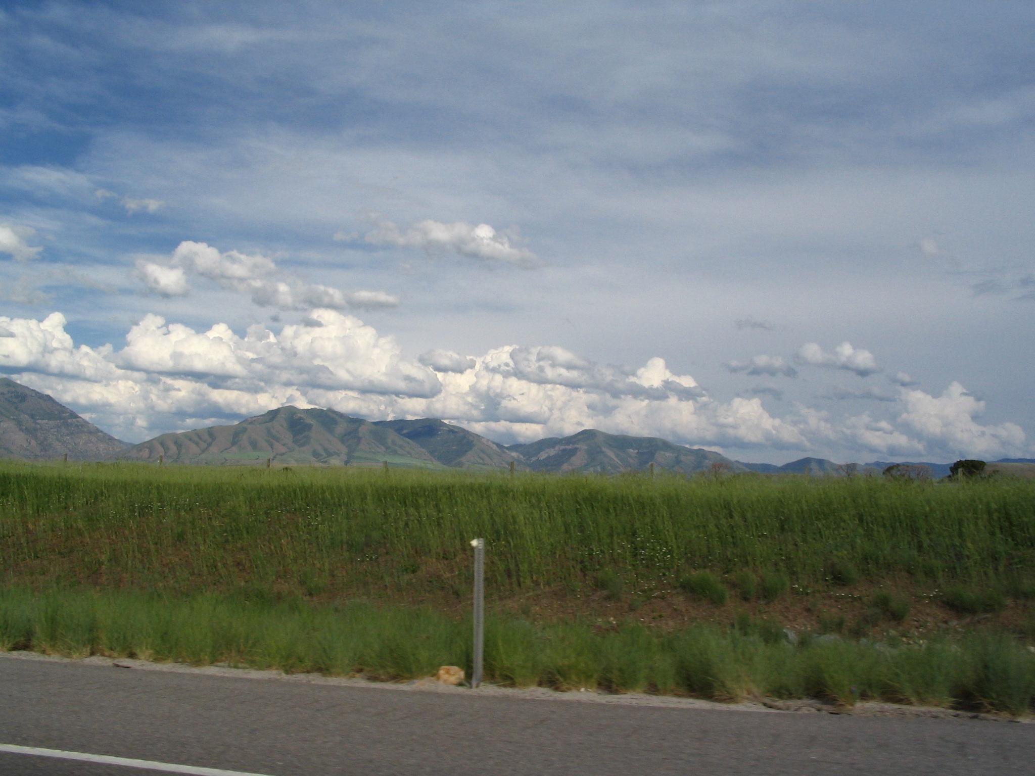
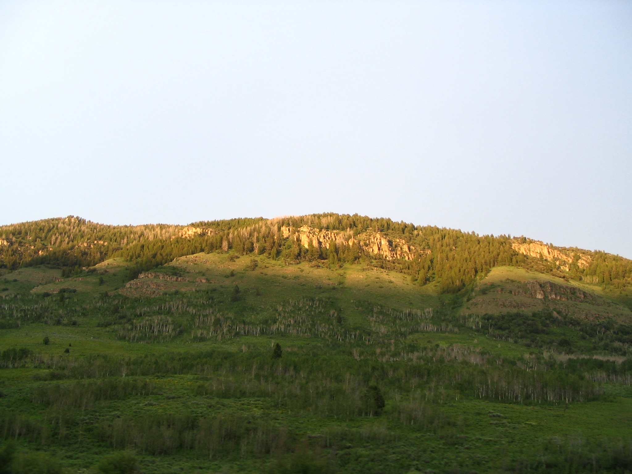
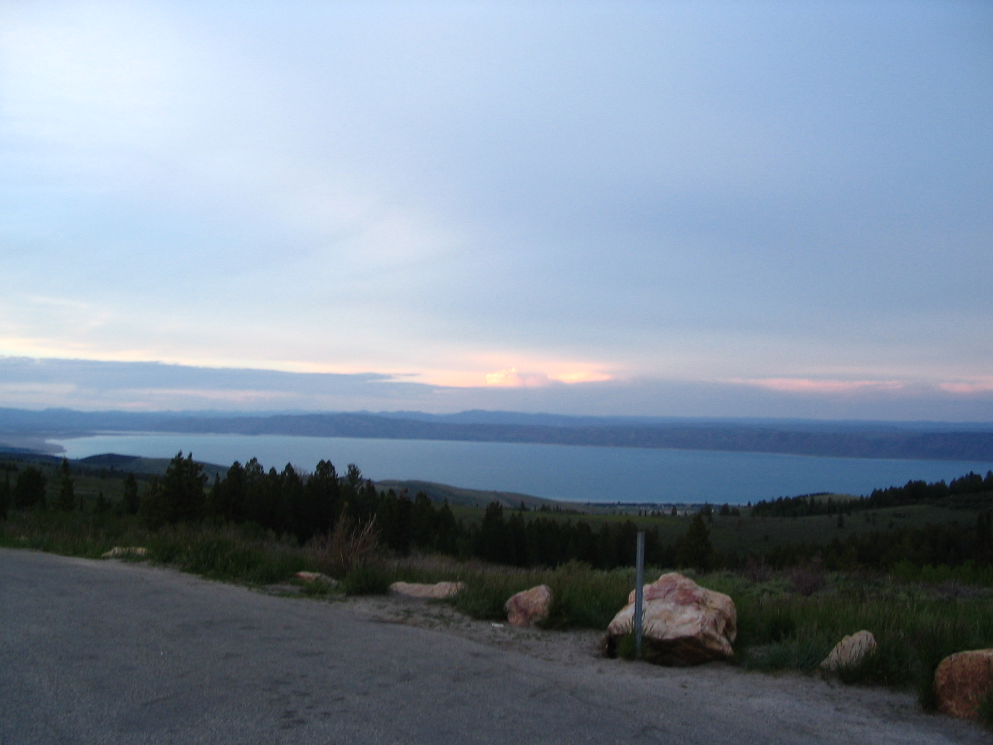
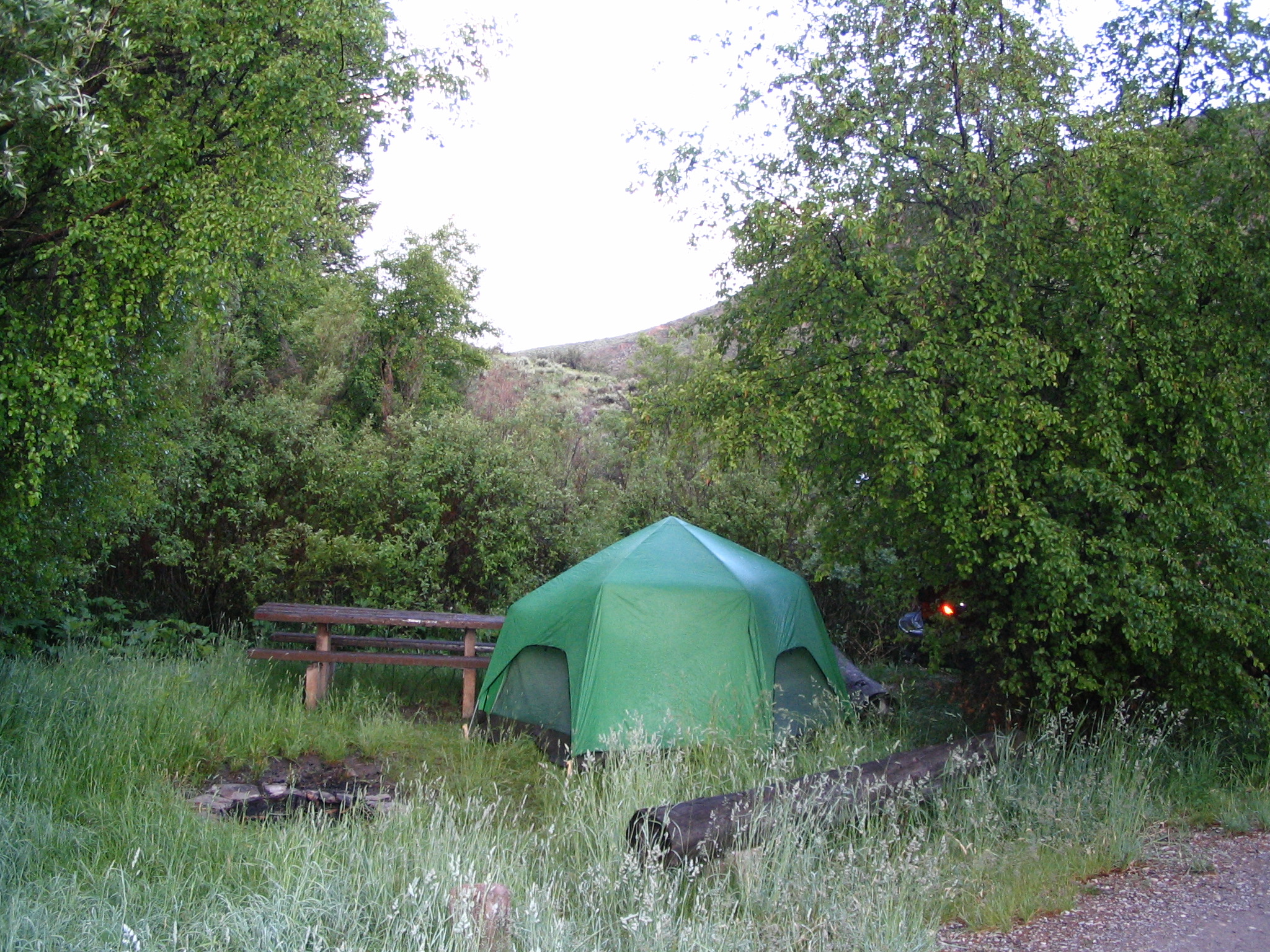
We stopped at a convenience store in Montpelier, and asked about nearby campsites. They said there would be plenty up north on US89, and within a few miles we found one. Overgrown with tall grass, and threatening weather, plus one campsite with two pickups and a bunch of good ole’ boys drinking what looked like root beer in bottles (right!). Nevertheless, we set up our tent at the other end, and the last thought Courtney had was to put up the waterproof canvas fly over the tent. Good idea, since once she got inside, a thunderstorm began, and drenched the area. One feels a bit vulnerable in a tent when there are nearby lightening strikes. But we survived!
Saturday, July 19 – US89 in Idaho to Yellowstone
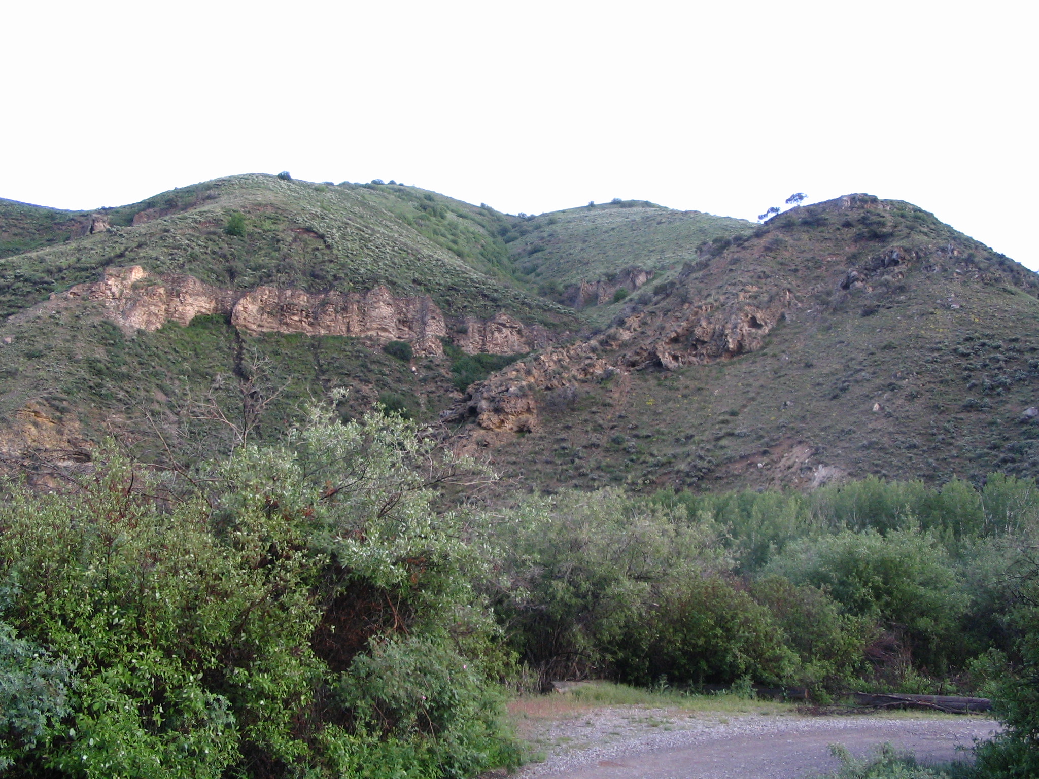
Up in the morning to our campsite in a beautiful canyon, next to a bubbling stream. We had to put away our gear wet, but later on in the day would have the chance to dry everything. As we continued on US89 into Wyoming, we were both constantly amazed at the stunning beauty everywhere.
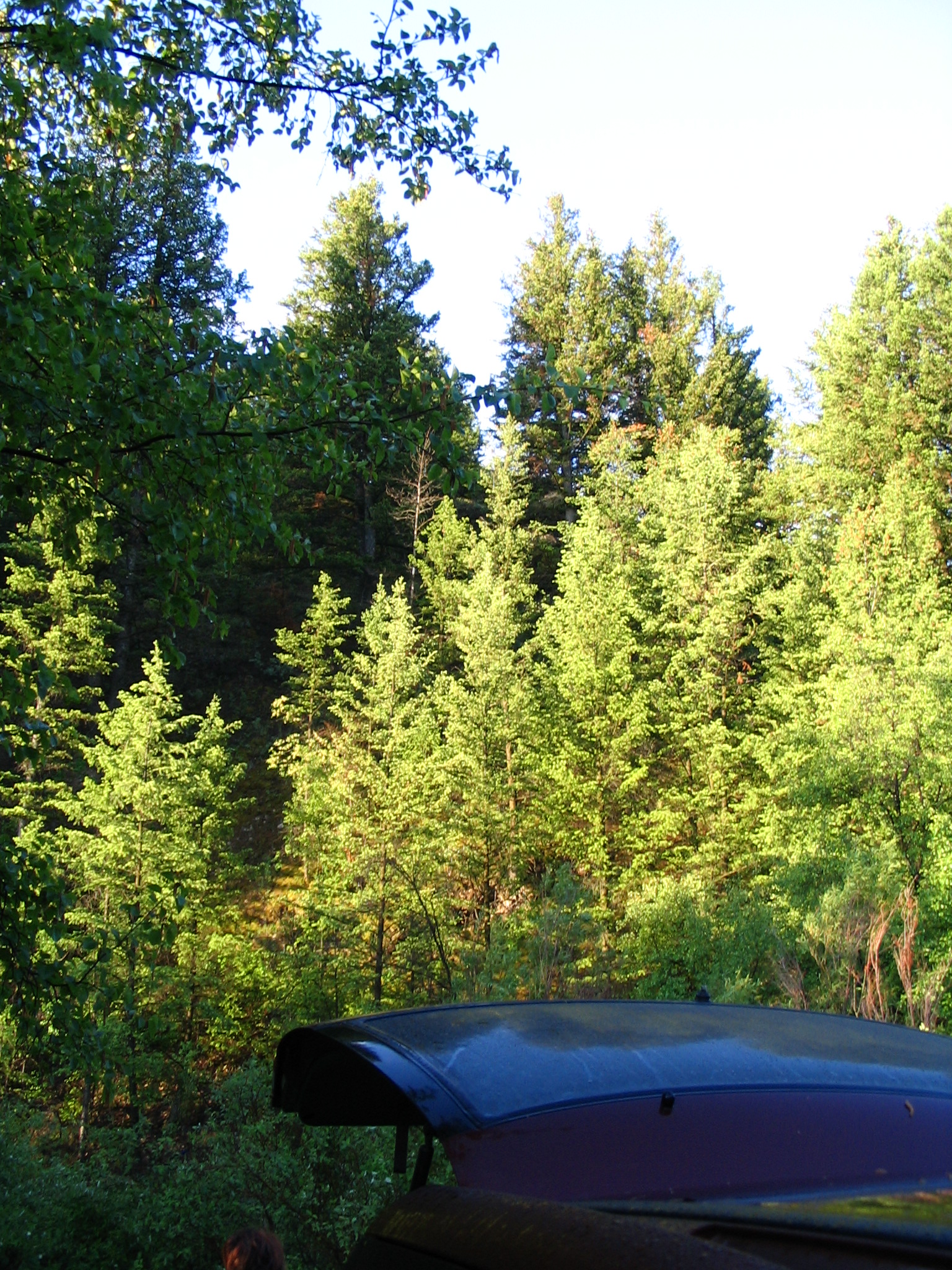
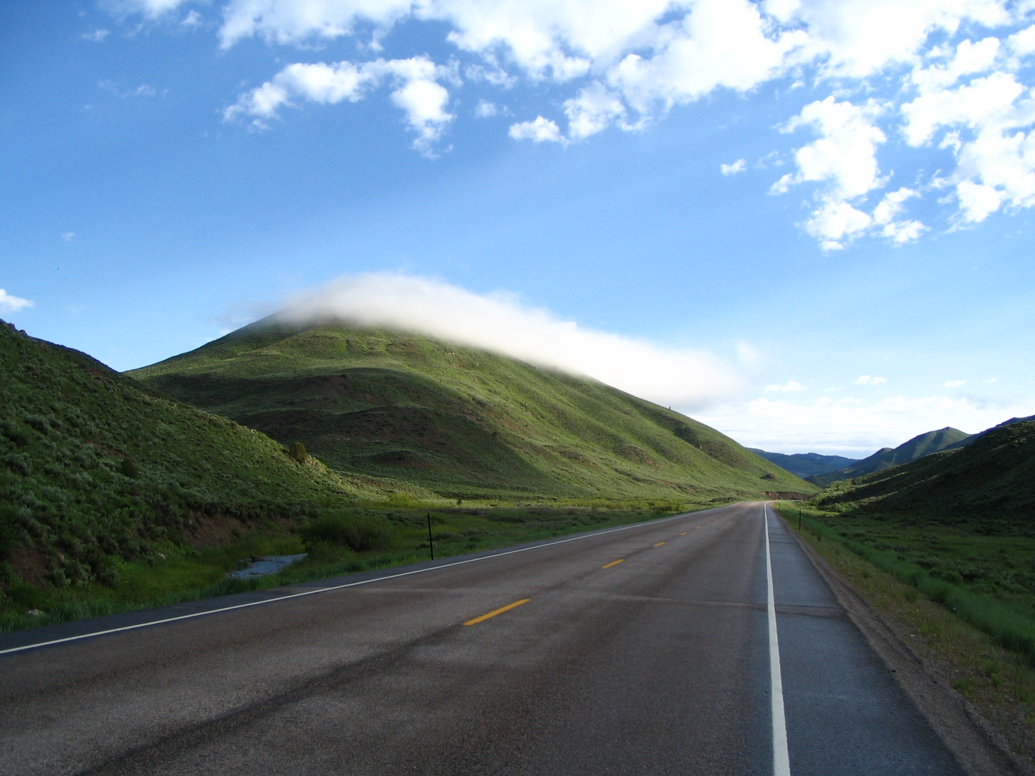
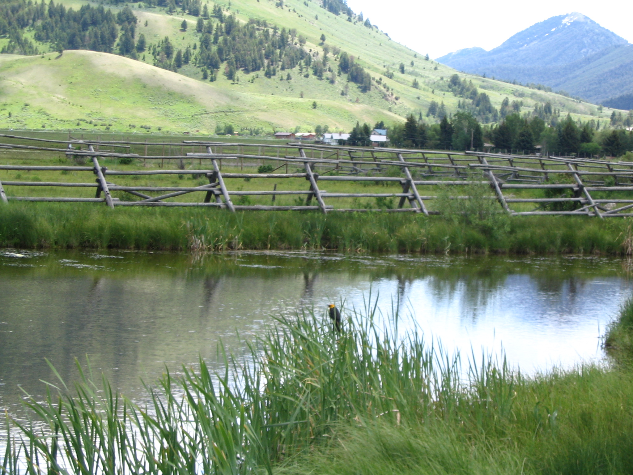
As we approached Jackson, the new feature that began to appear in the distance were the snow-capped Tetons to our northwest, although truth be told the mountains to our northeast were nothing to lightly dismiss. Jackson is an upscale tourist town for sure; many shops, lots of services, many people, all in a beautiful setting. I bought a head-lamp there, and we also purchased some food for a picnic lunch. My computer’s cursor was not working, so while Courtney shopped, I drove down to a Radio Shack, where the problem corrected itself! We picnic-ed on a table near the Tourist Information facility, and watched a beautiful blackbird hold claim to reeds on both sides of the creek. Also two loving Ravens.
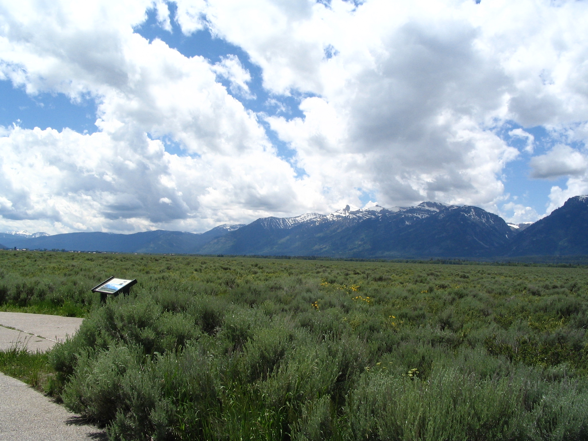
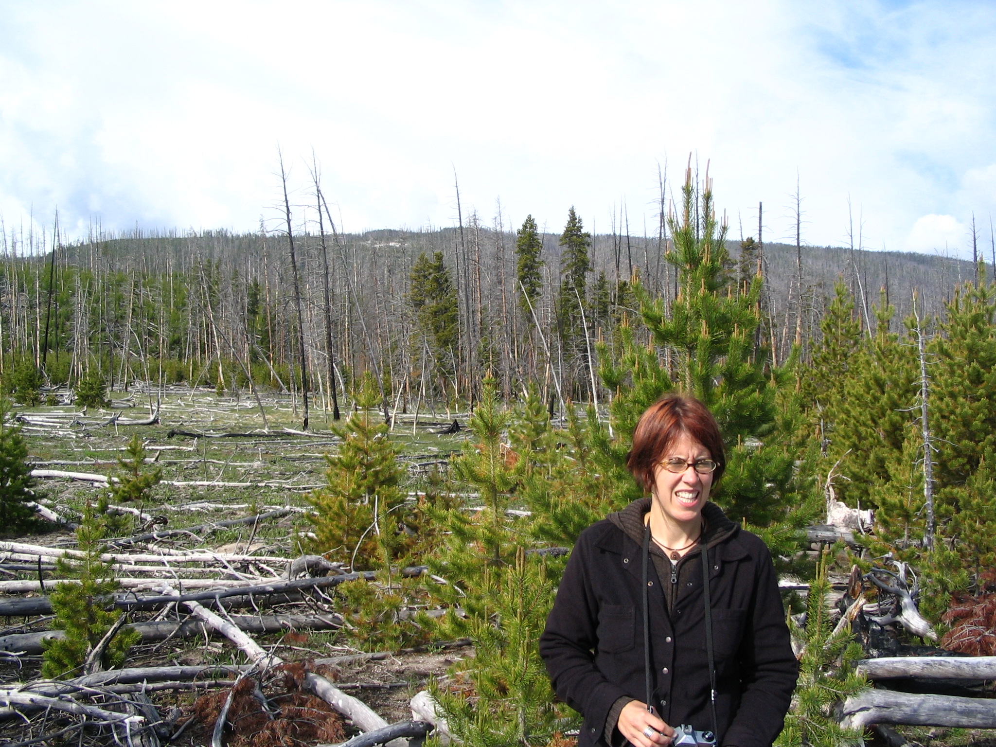
Leaving there, we headed north on US89 into Grand Teton National Park, with those glorious mountains dialogging with the clouds. It is simply spectacular mountain scenery. But our goal was Yellowstone, so other than the picture taking stops – tall mountains rising beyond beautiful meadows or a calm lake — we kept going. Inside Yellowstone, from almost mile one, is the evidence of the 1988 fires. Whole mountains ablaze back then, and now the cleared forests, with the remaining sticks extended, and many logs crossed on the ground. But also much new, although youthful, growth. Maybe eight to twelve feet maximum, but many new fir trees.
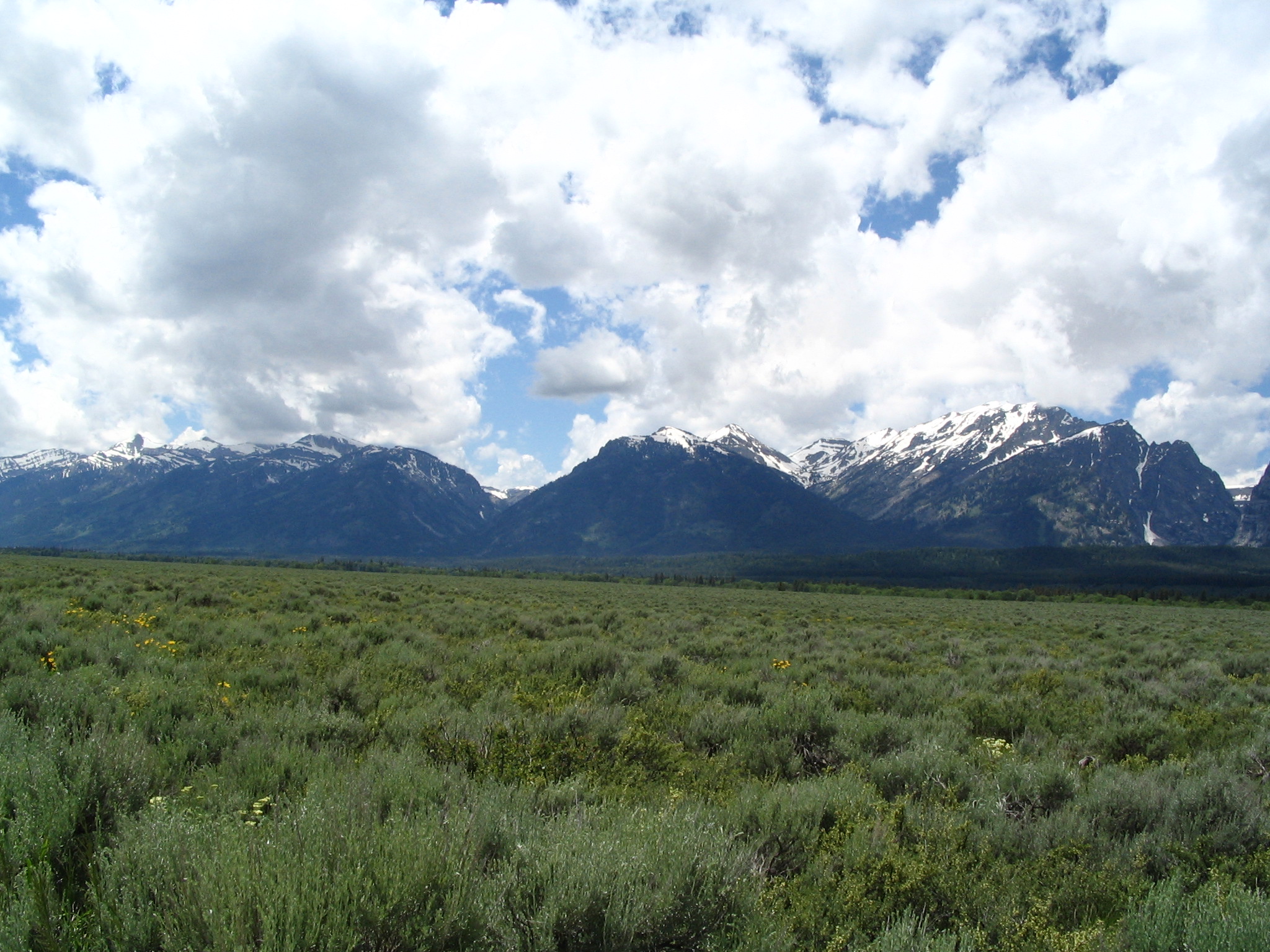
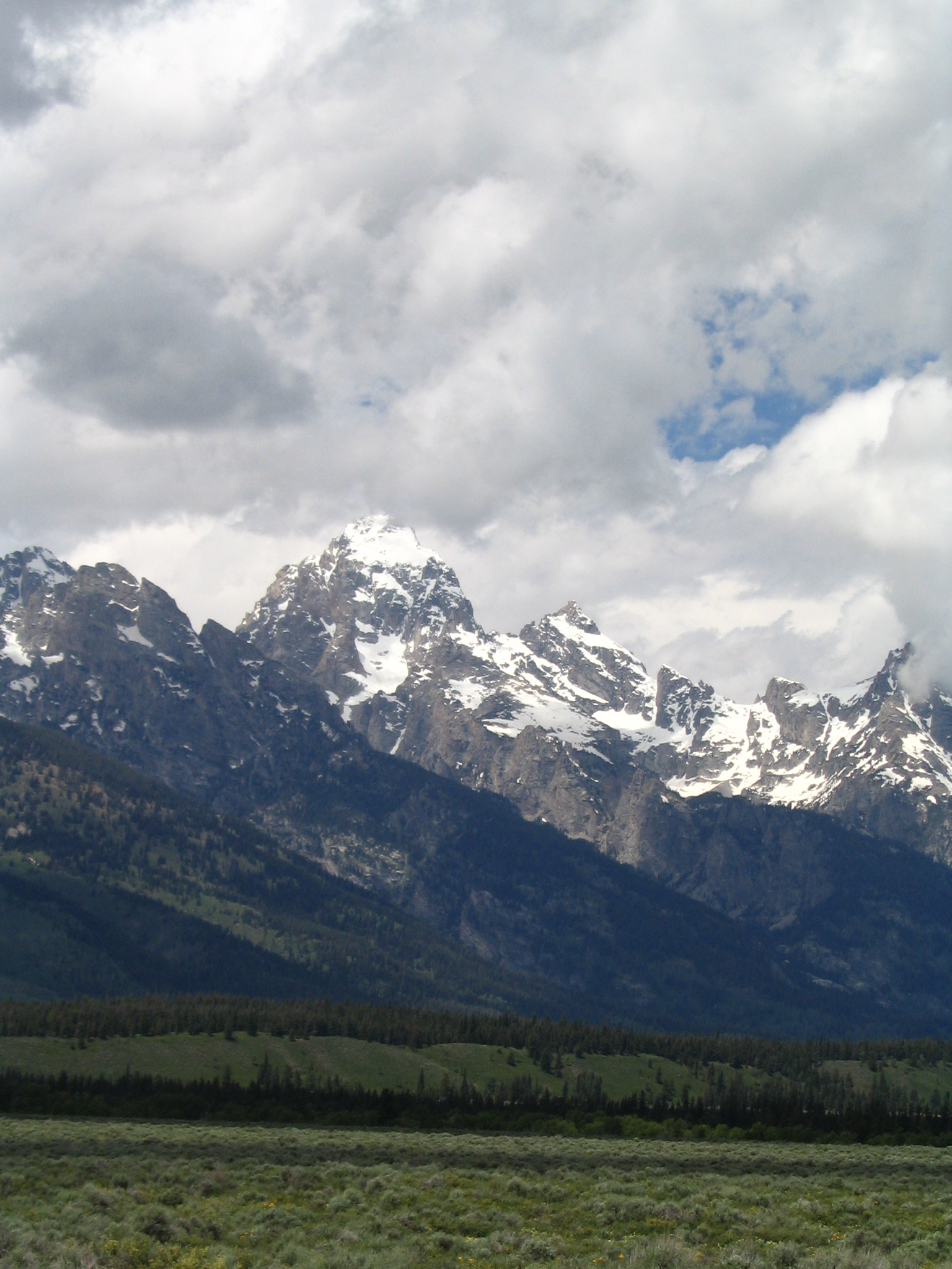
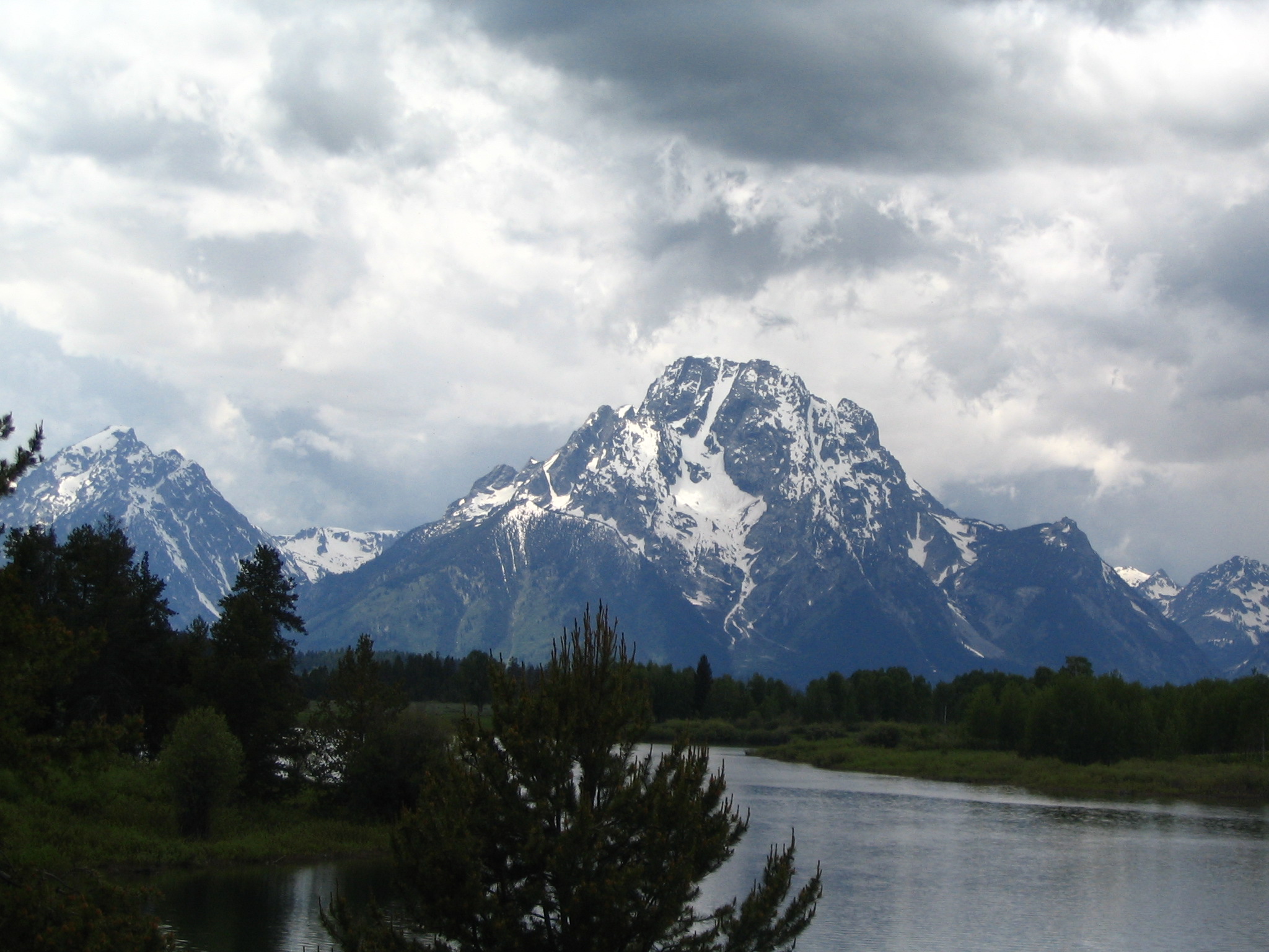
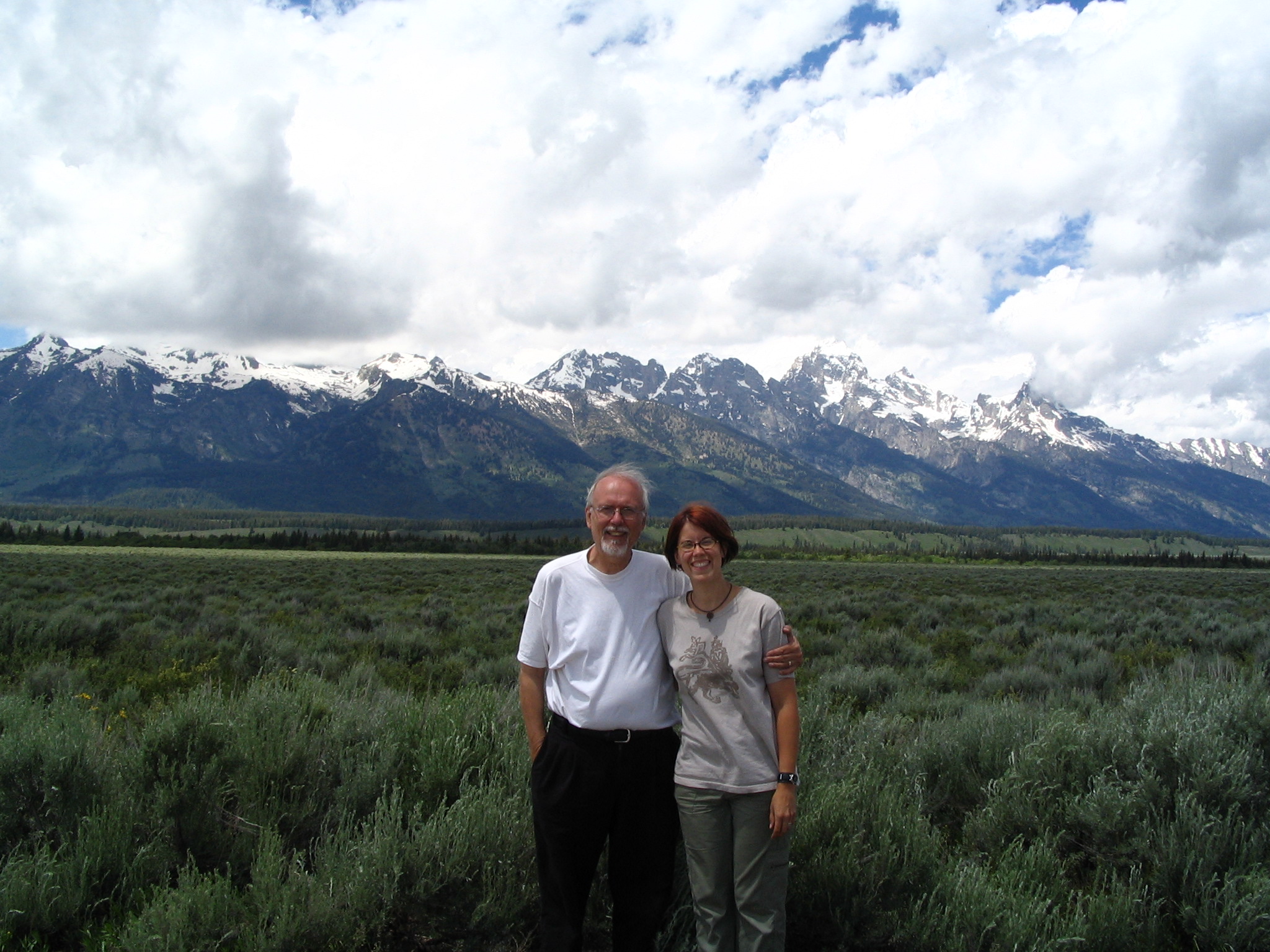
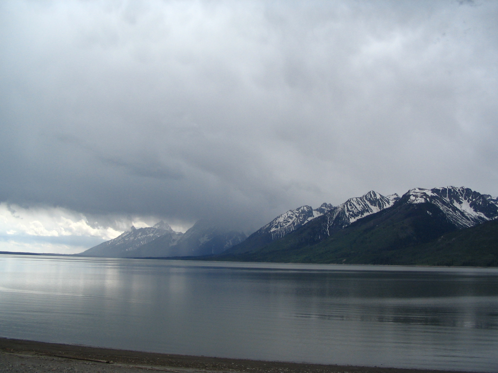
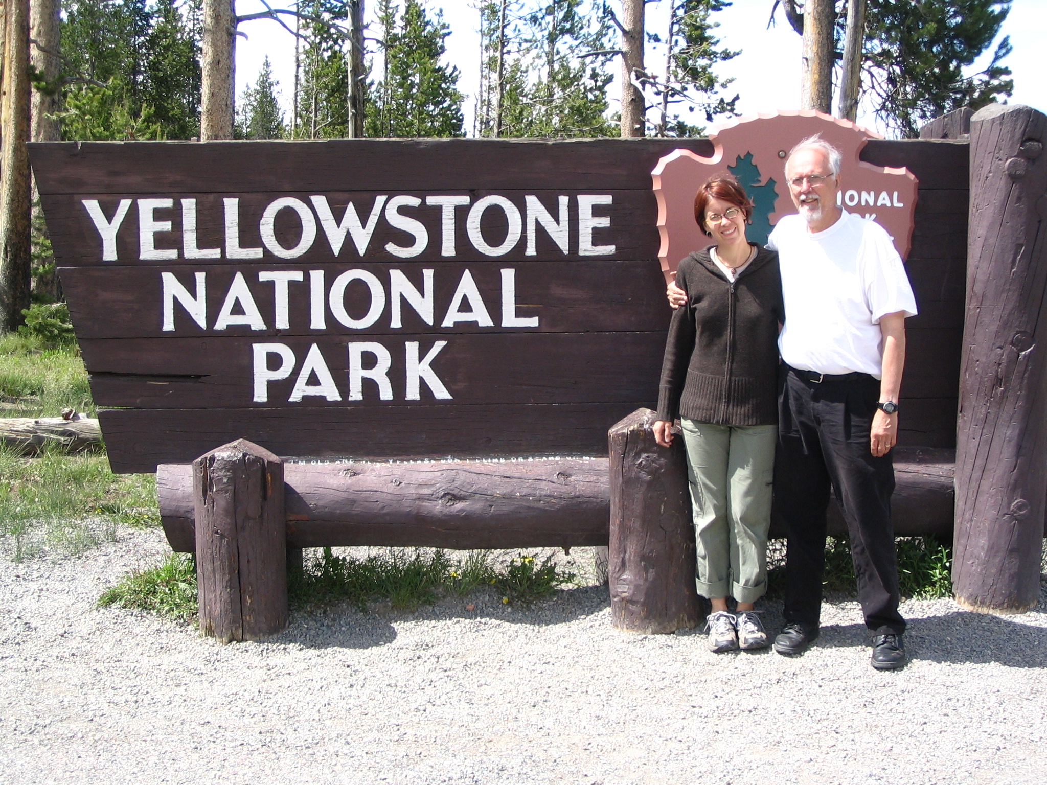
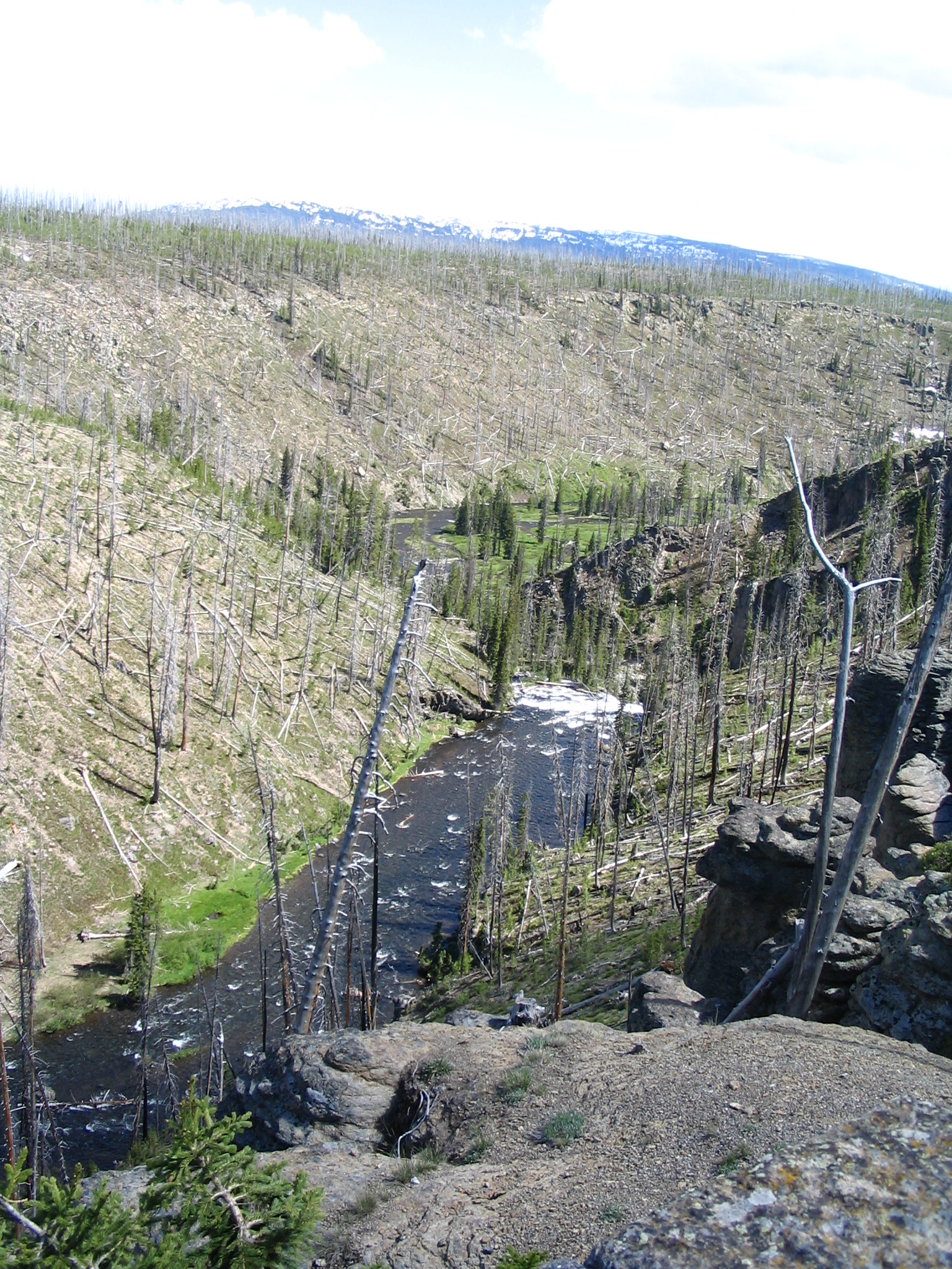
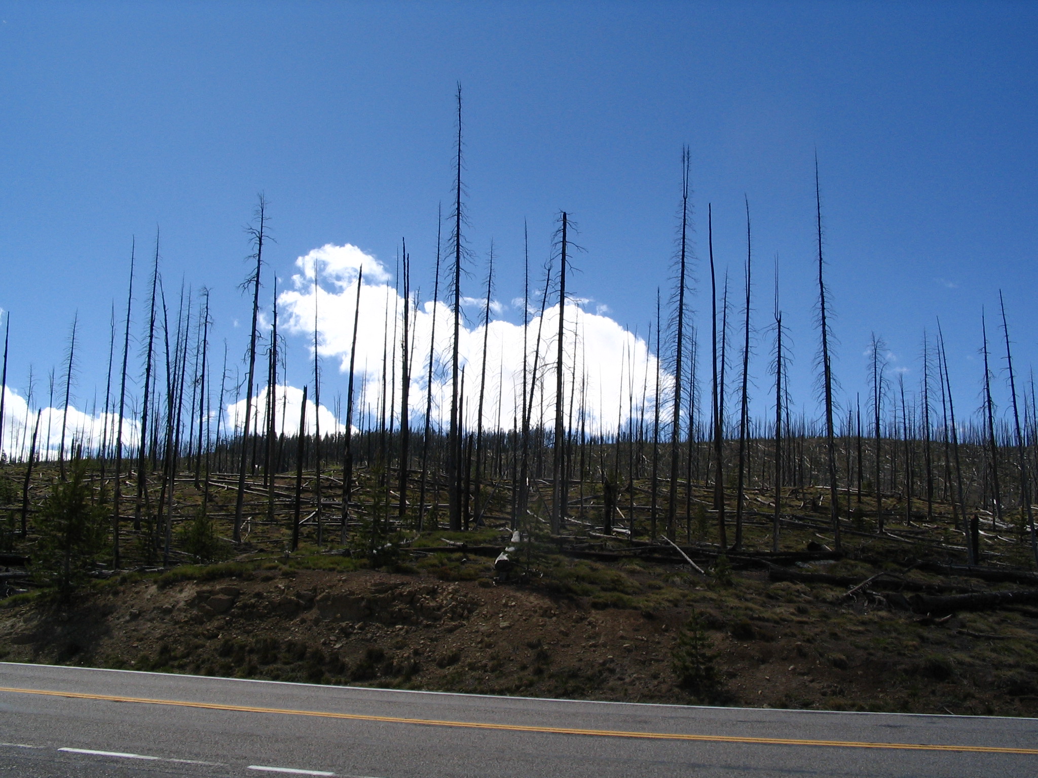
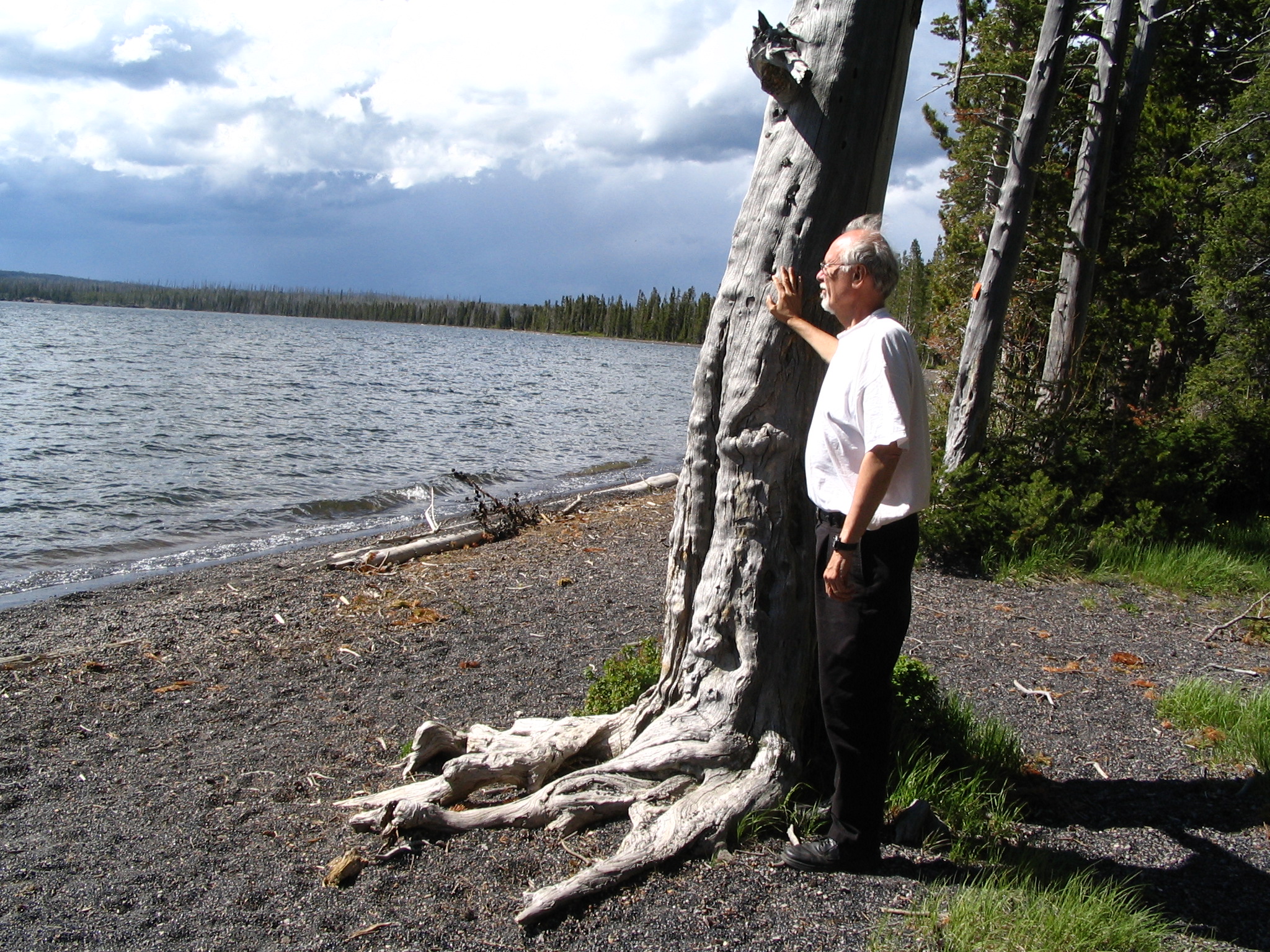
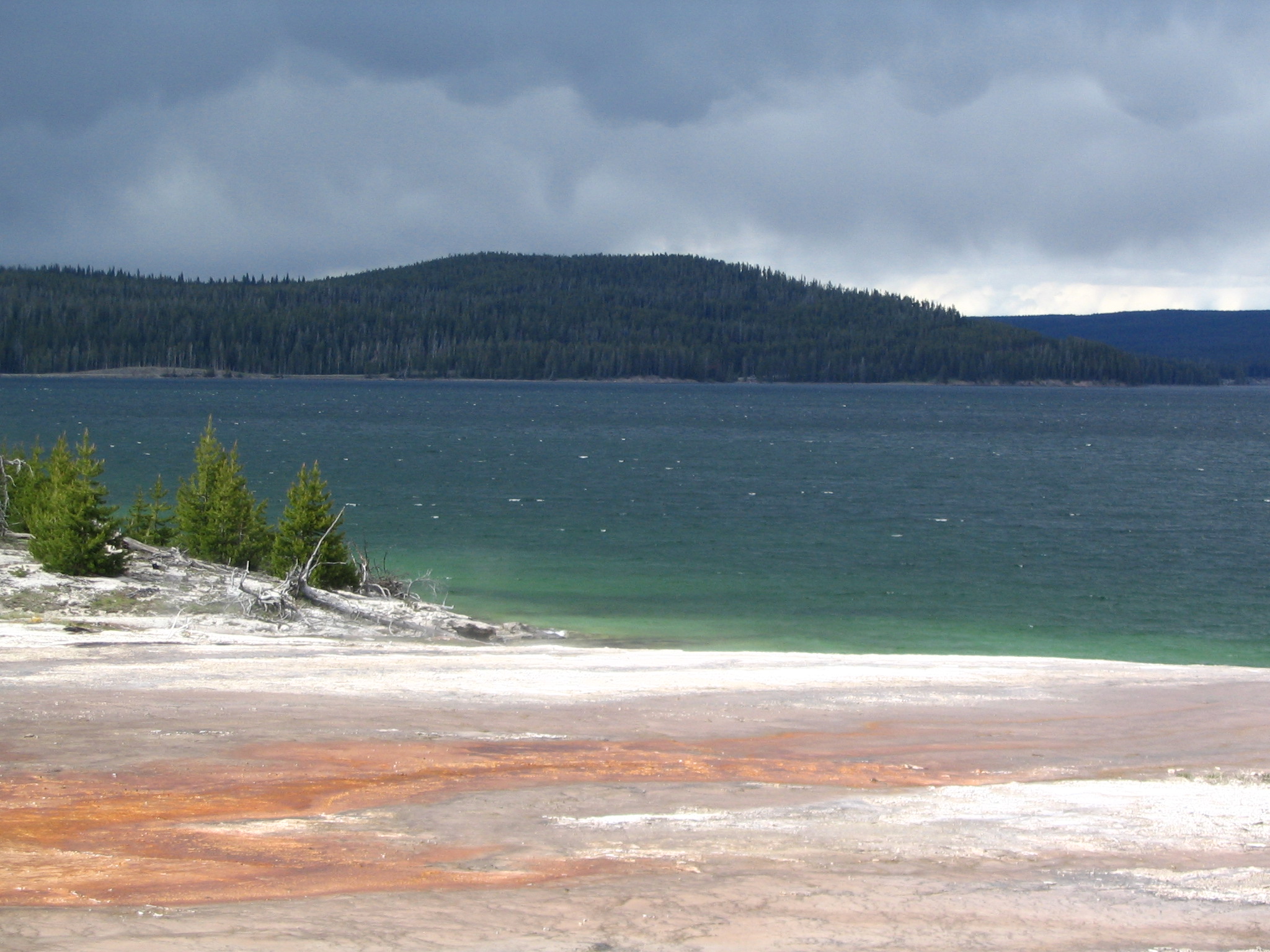
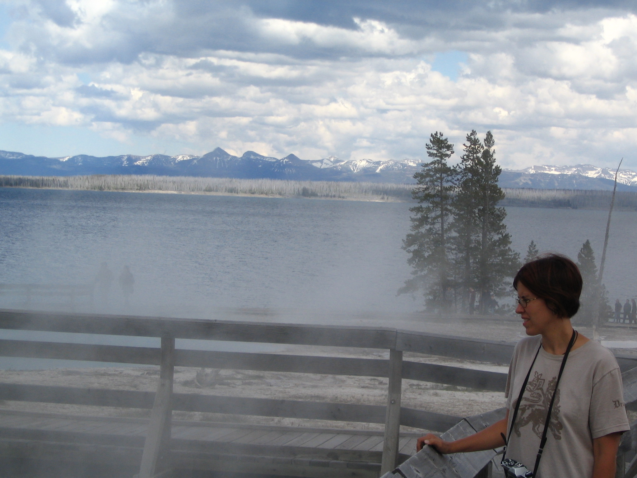
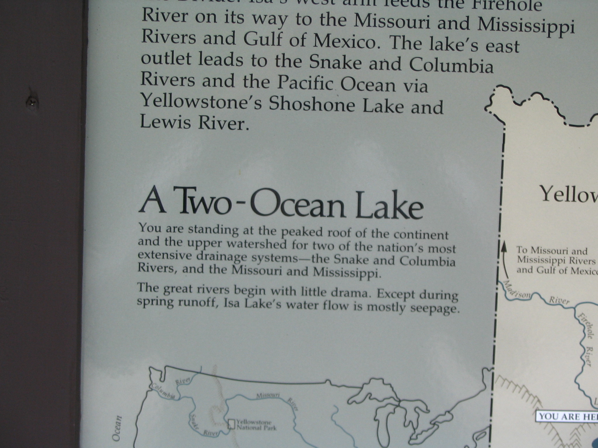
We first stop by a campground at Lewis Lake, and walk down to the water’s edge. Elevation here over 7000 ft. Beautiful, almost empty of people. Everywhere one looks there are downed tress and evidence of fire. On to West Thumb, and our first look at thermal activity. A wonderful geyser basin on the shore of Yellowstone Lake. It’s chilly – almost cold – and the hot steam from these strange entities is welcome. After a good look and the use of facilities, it’s on towards Old Faithful. We stop at the Isa Lake, really just a little pond at the second continental divide crossing that flows into both watersheds – a memory from our 1951 trip.
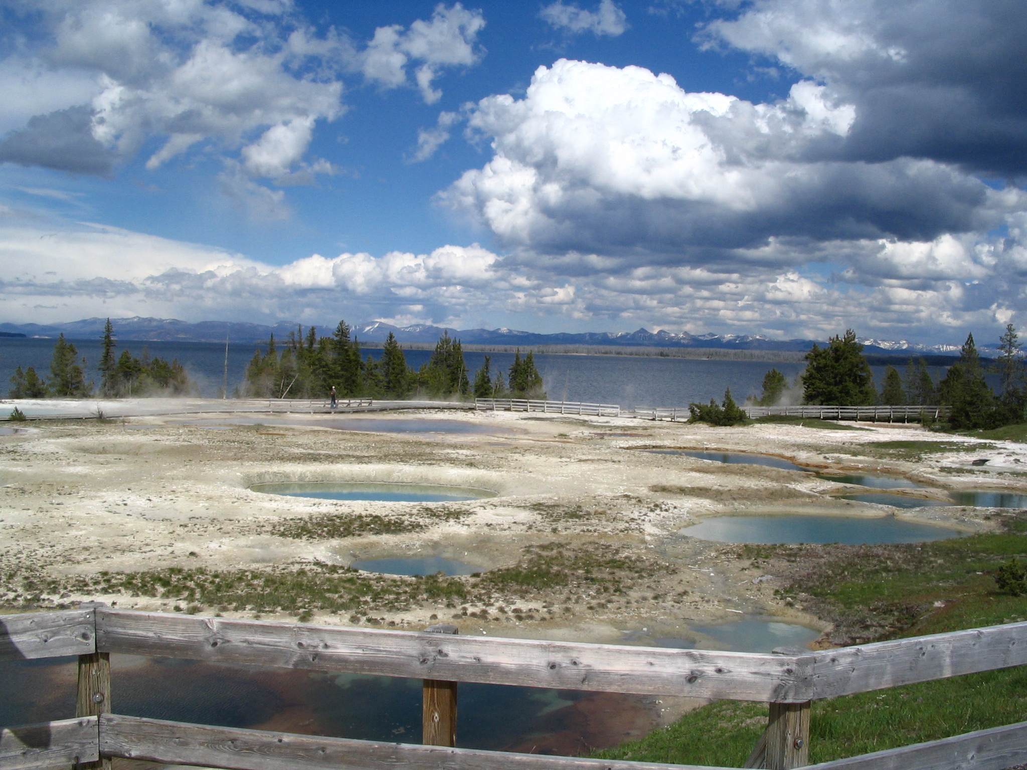
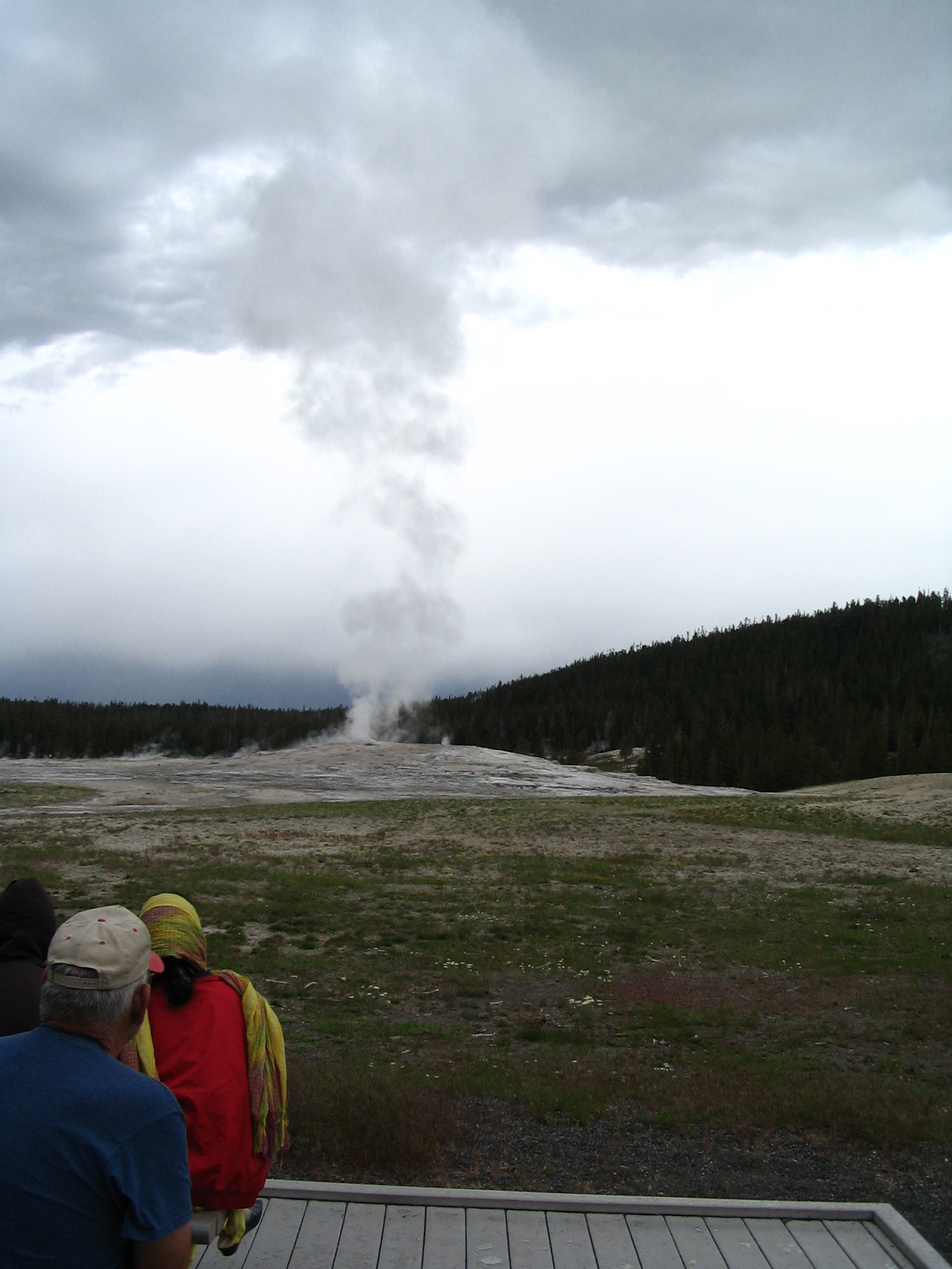
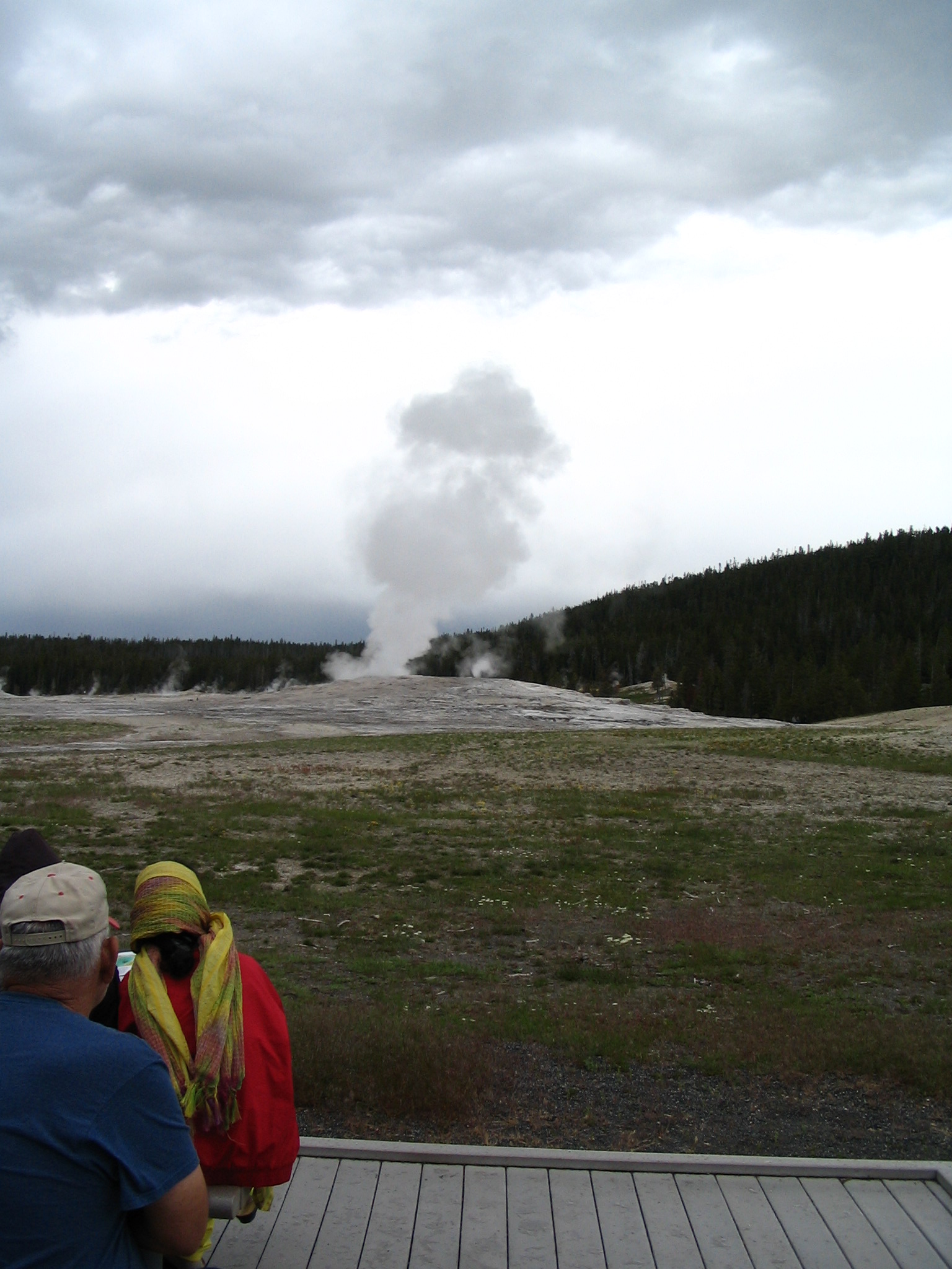
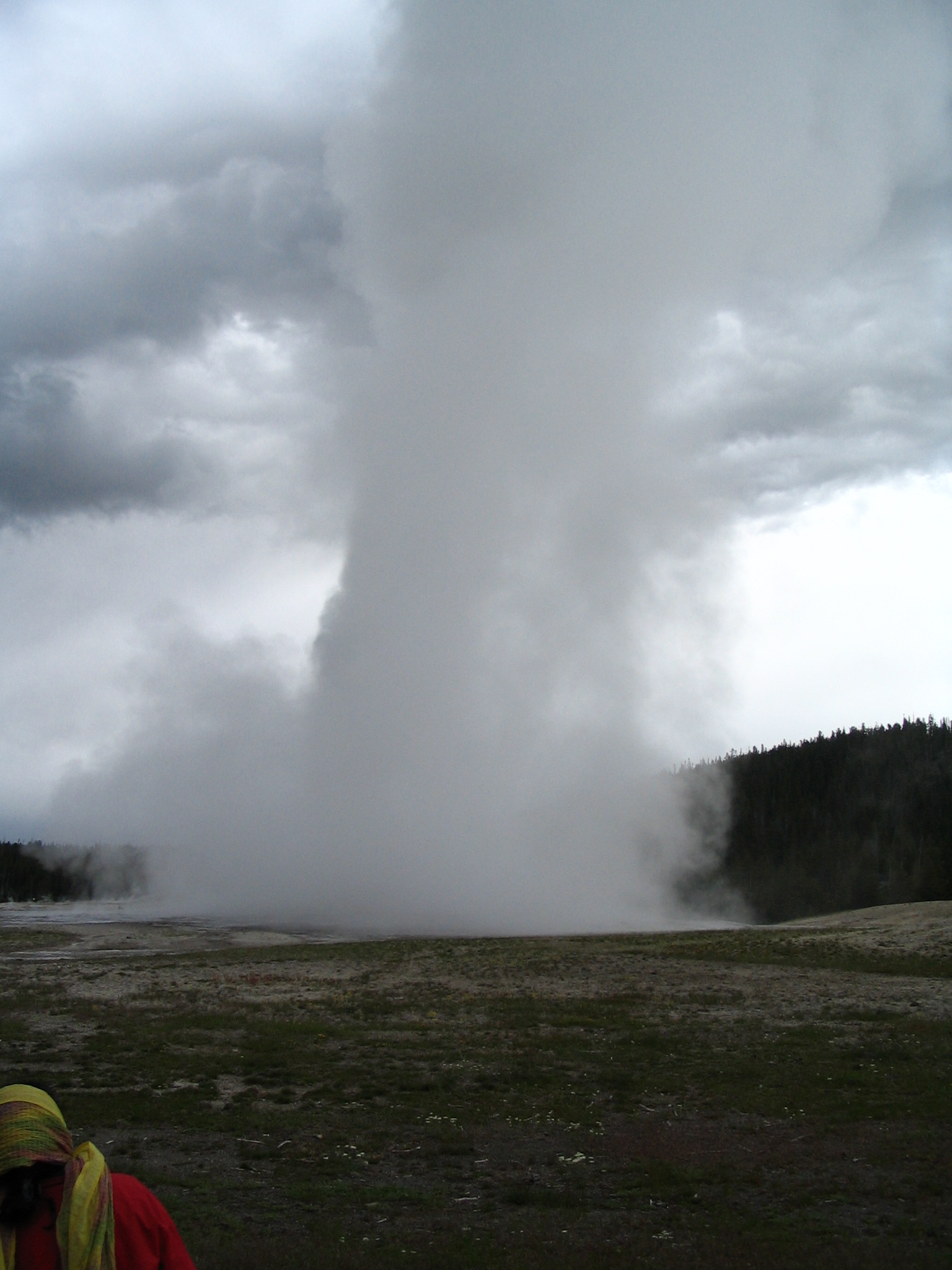
On to Old Faithful. Oh no! A highway overpass! Within a National Park?! Oh, well. Guess they get a lot of traffic. We see people already waiting for Old Faithful to blow. So we walk over, cameras in hand, hoping for the rain to hold off. It’s still fairly cool. Olde Faithful teases everybody for at least 10 minutes with little surges. Then there comes a surge that doesn’t let up, and it continues to ascend for a complete eruption. When you think of it, it’s the faithful timing that’s the thing here, not the eruption, which is fine and dandy, but not the most spectacular thing we will see here. But it was on-time!
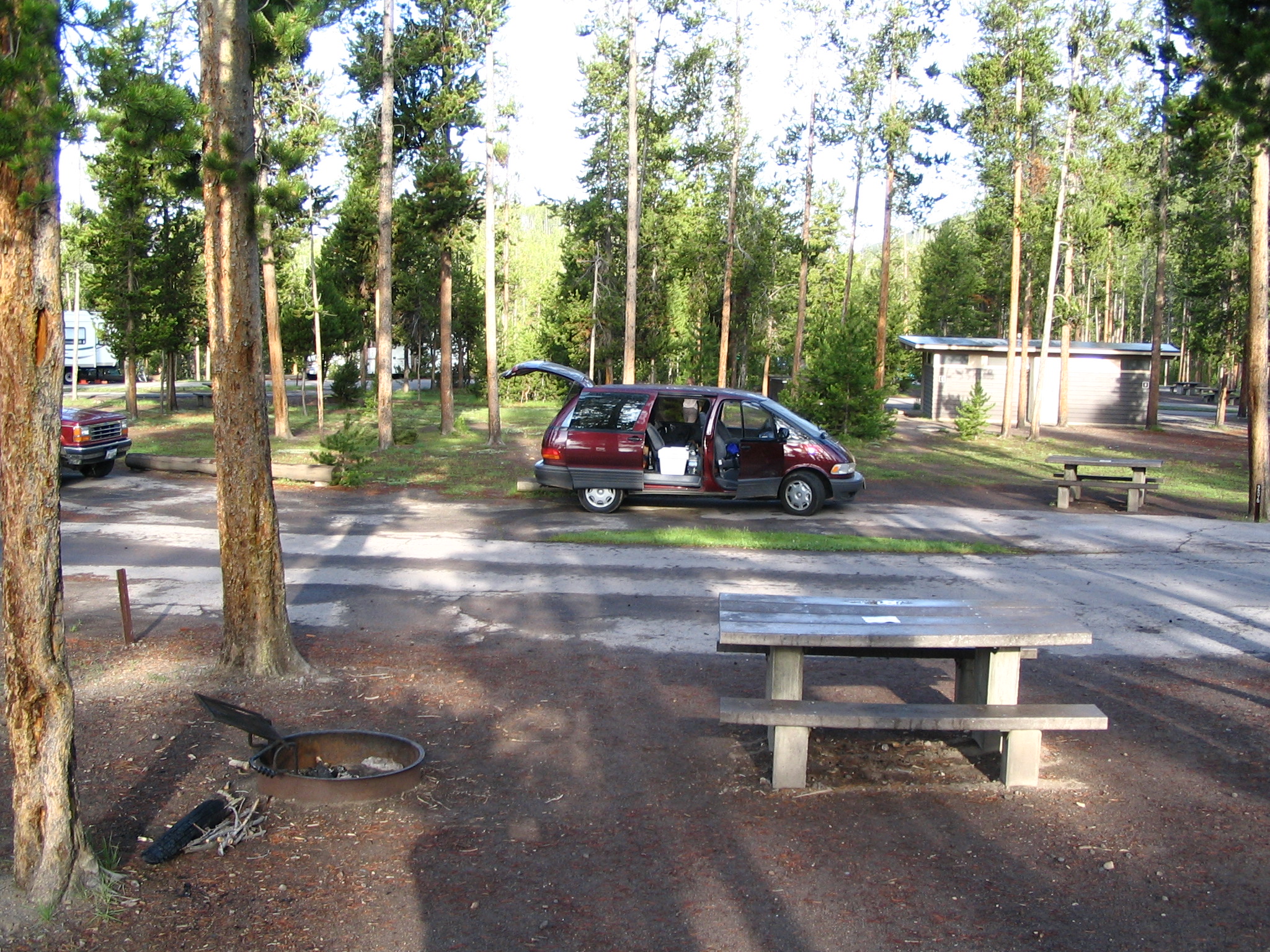
After this, it’s to the lodge and the store for some purchases, and the ever-beckoning restrooms. Once done, we head clockwise on the ring road, edging toward Madison Campground. We stop at almost every site: Black Sand Basin, Biscuit Basin, Upper Geyser Basin, Grand Prismatic Spring, and finally Fountain Paint Pot. In between, beautiful meadows, some wildlife, and evening shadows. Actually spend a fair amount of time at Fountain Paint Pot – amazing colors and texture of the clay, or whatever it is. At Madison Campground, pay our $18.00 and get site F205. We have bought some hot dogs, so decide to go looking for wood, rather than spending the $5.89 for a few logs.
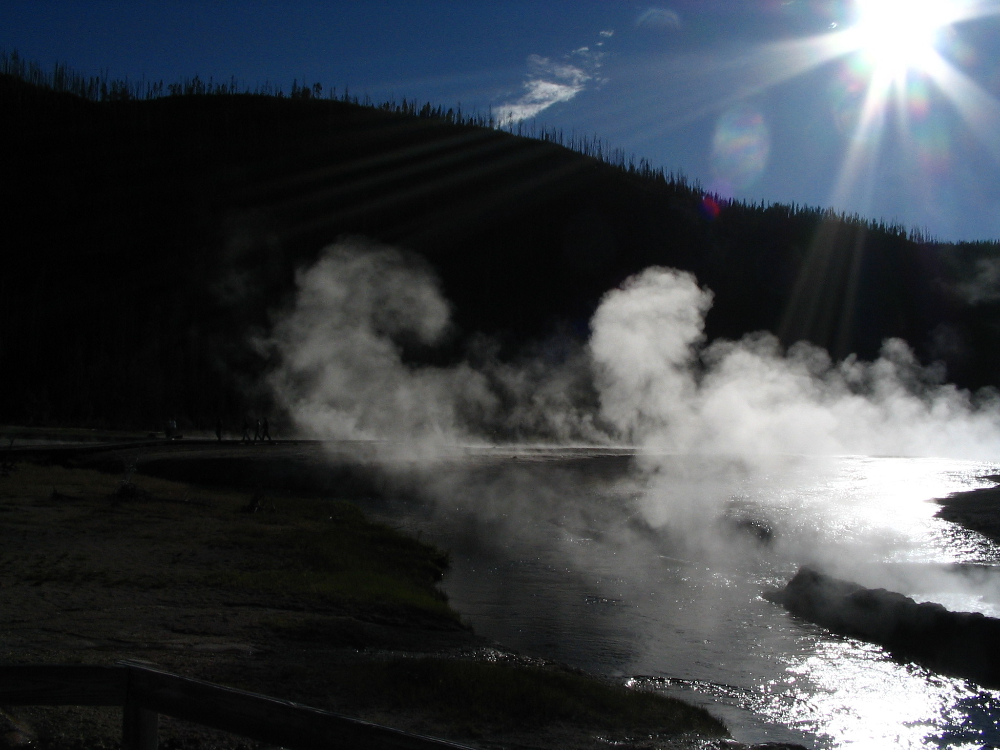
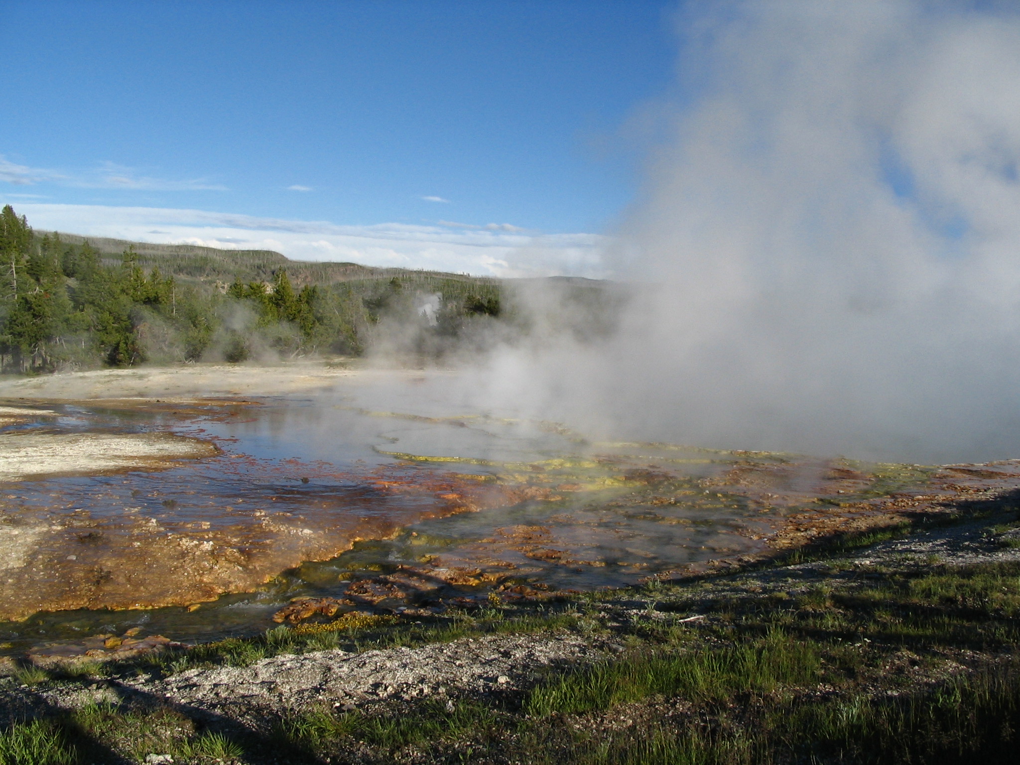
We head a ways down the West Entrance road, and find some turnoffs where there is ample loose wood. Back to camp, set up the tent (me), and get the fire started (Courtney). Then a great picnic meal, featuring charred hot dogs (what other way are they any good!?). In this campground, there are quite a few restrooms, and they are heated, which will come in handy later in the night, supporting the nocturnal parade to take care of business.
Sunday, June 20 – Madison Campground to Cody, WY
Good night sleep – using both top and bottom of the sweats was a good idea. Very heavy dew, even though it did not rain, so tent and fly are both wet. Breakfast before leaving, and Courtney strikes up a conversation about the Lord with one of the people parked nearby (Jody?), who was about to leave. On the way out, we stop next to a modest-size RV, and invite ourselves in for a look. As usual, people very gracious.
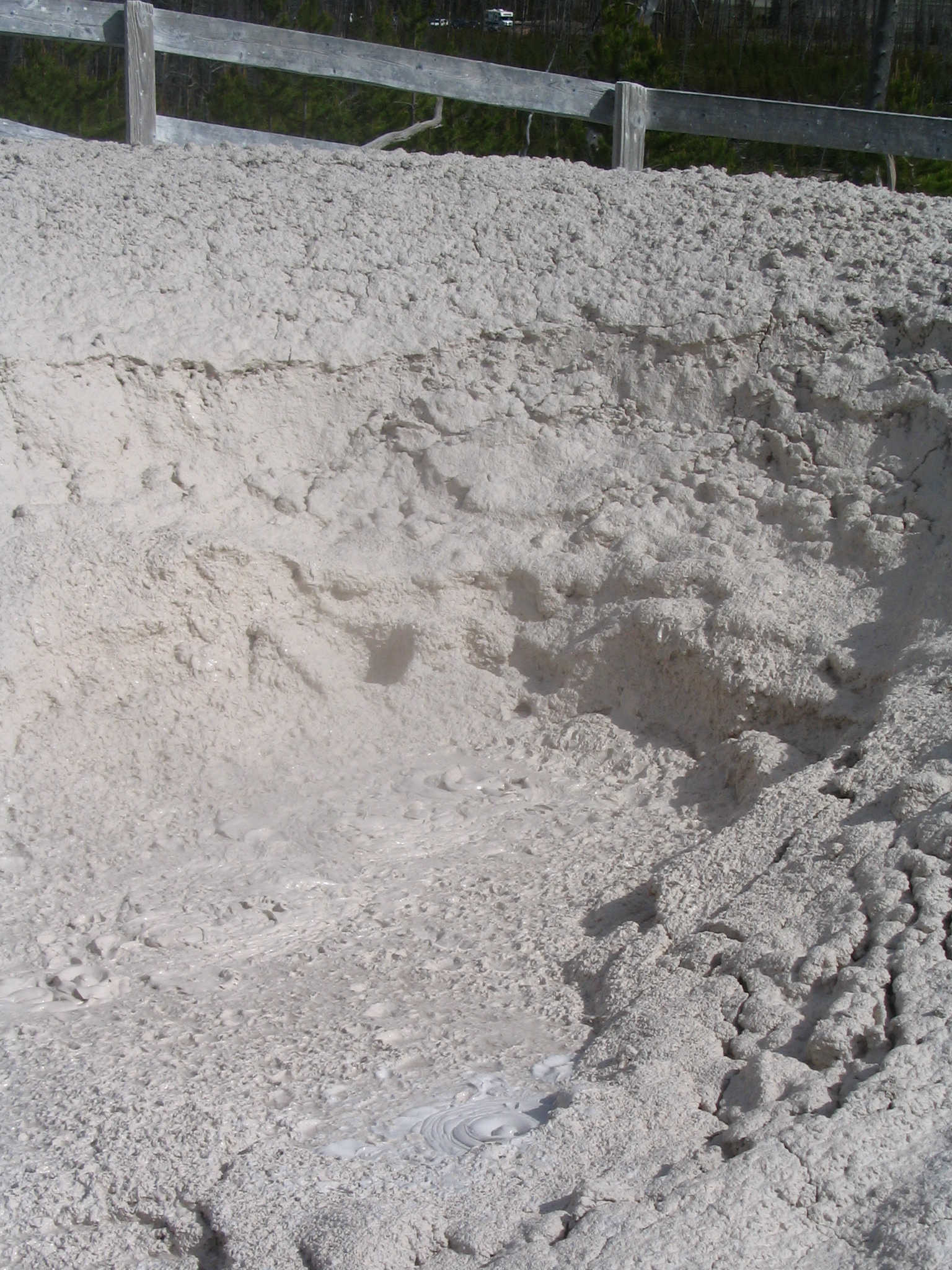
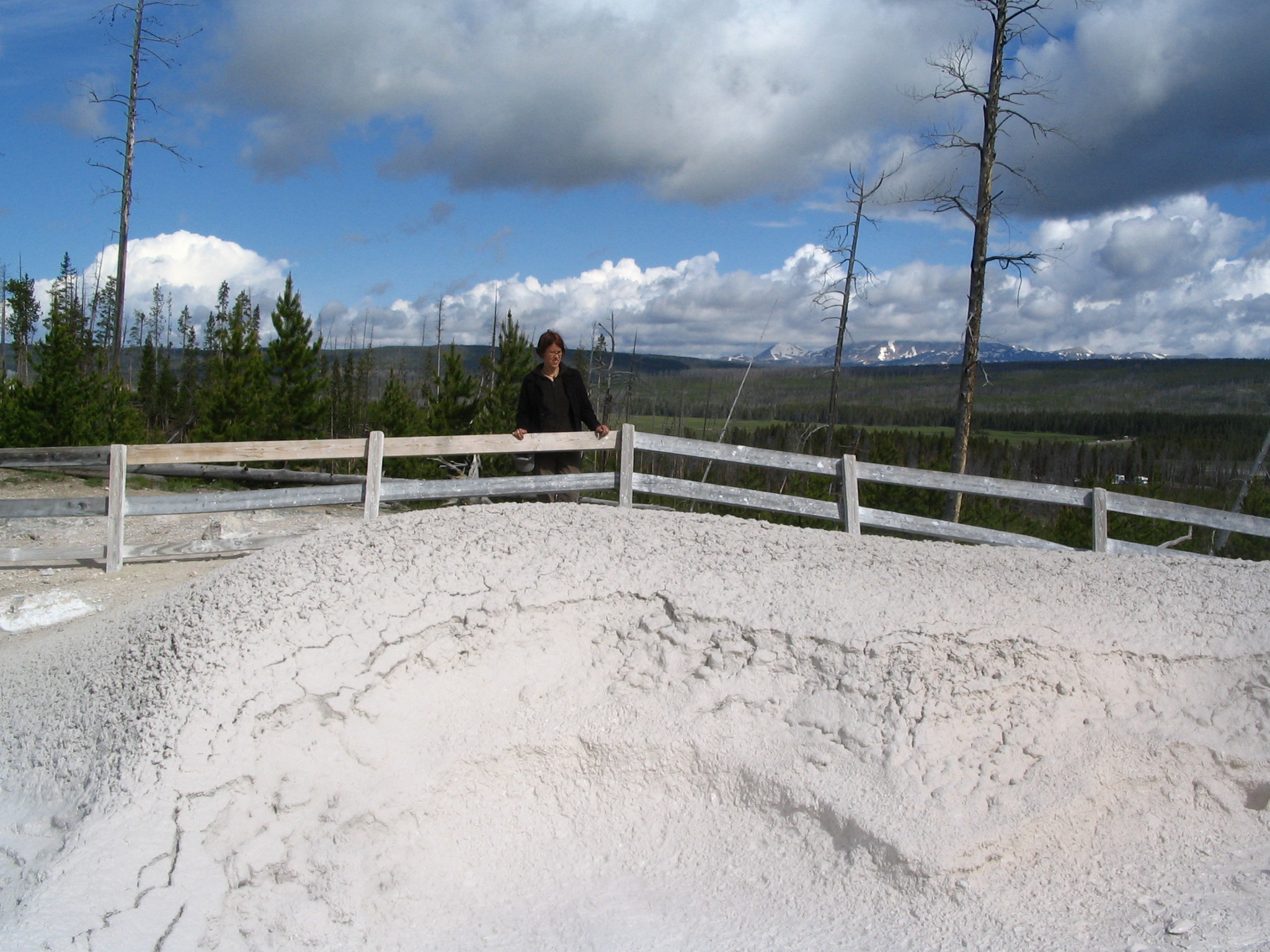
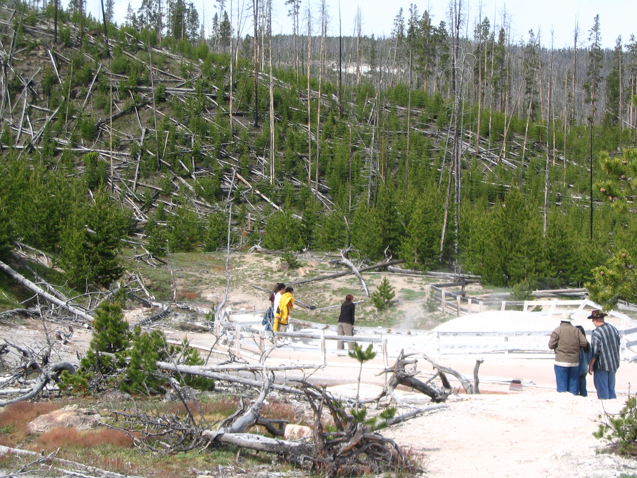
We set out heading north, and stop to take a look at Gibbon Falls. Lots of downed trees around here. We next stop at Artists Paintpot, and go on a bit of a hike to get to the actual site. There are several bubbling paint pots here that are especially interesting, and we spend a long time taking it in. Courtney waits a while for the opportunity to witness to several youth and an adult, while I try to support in prayer. This site is well worth it.
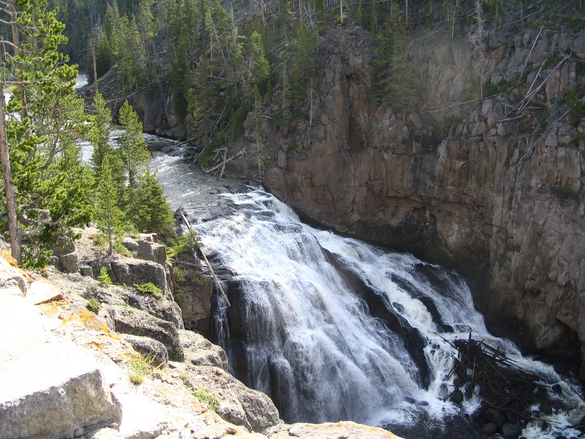
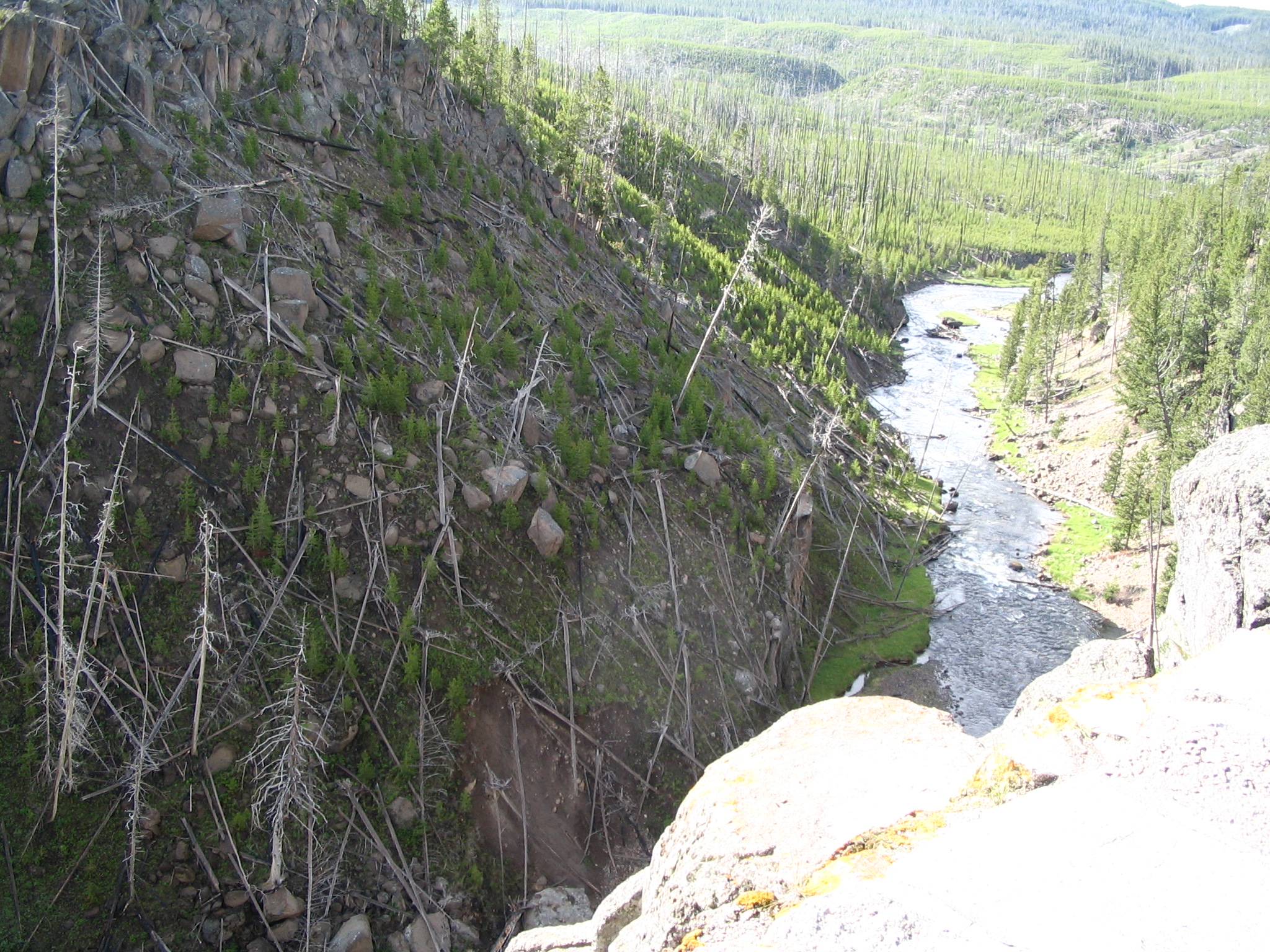
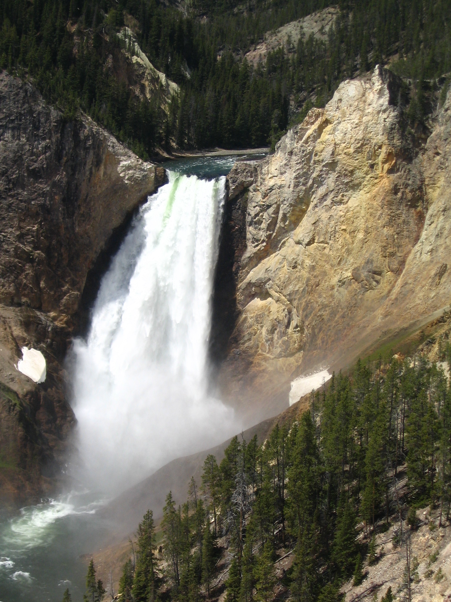
When we leave, we take a right on the crossover road, and drive the 12 miles to Canyon Village. There we take in several views of the Grand Canyon of the Yellowstone: Inspiration Point, Grand View, and Lookout Point. This marvelous feature should more be compared with Bryce, rather than the Grand Canyon, in my opinion, due to the colorful wind-eroded structures so prevalent. It is marvelous. I strike up a bit of a conversation with some Germans from Berlin, and ask about the meaning of the word “Herrschaft”: dominion, sphere of influence. When I see them later, I try to communicate: “Dies (pointing at the spectacular view) ist die Herrschaft der Liebe Gott” — This is the dominion of the loving God.
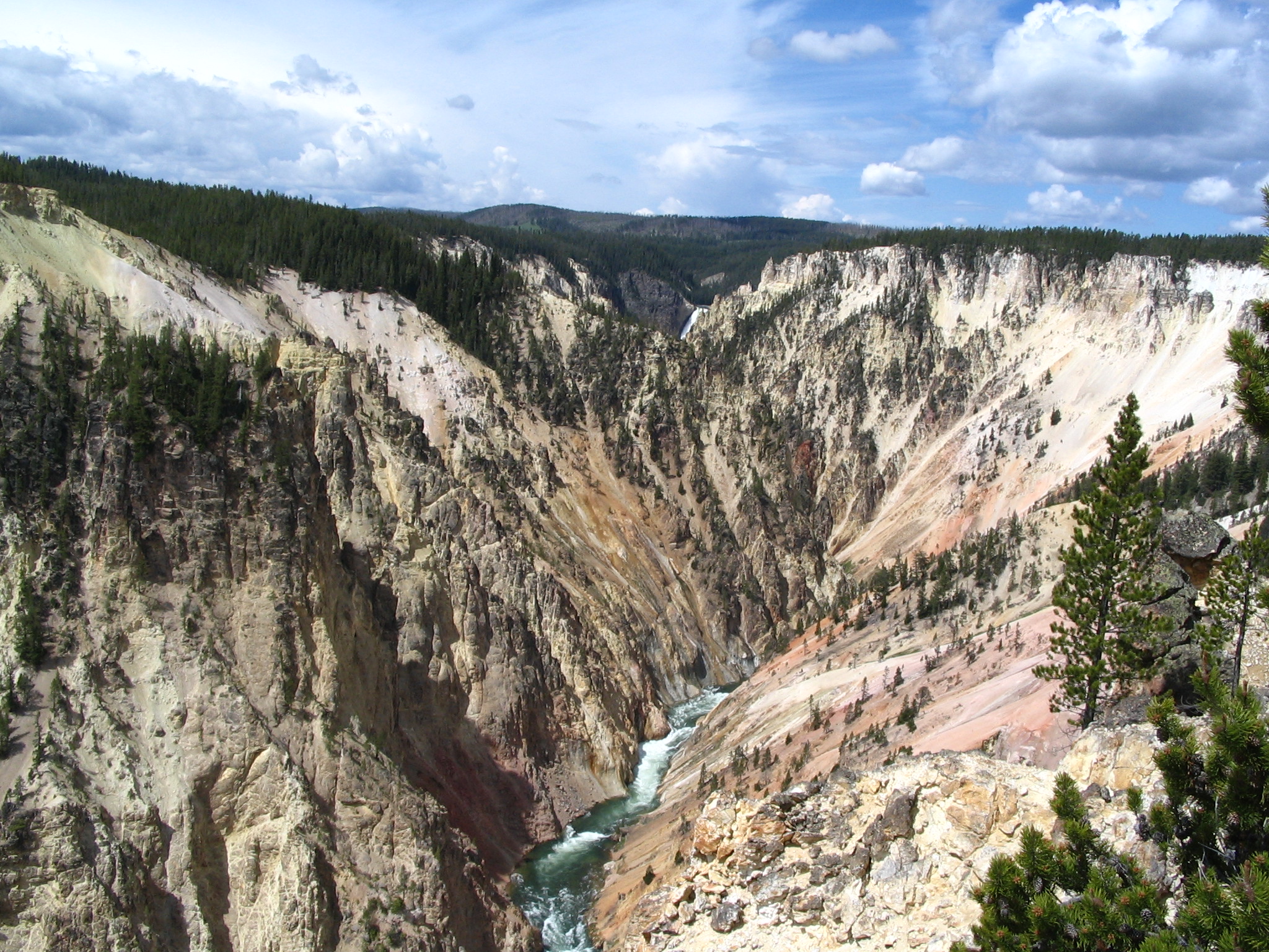

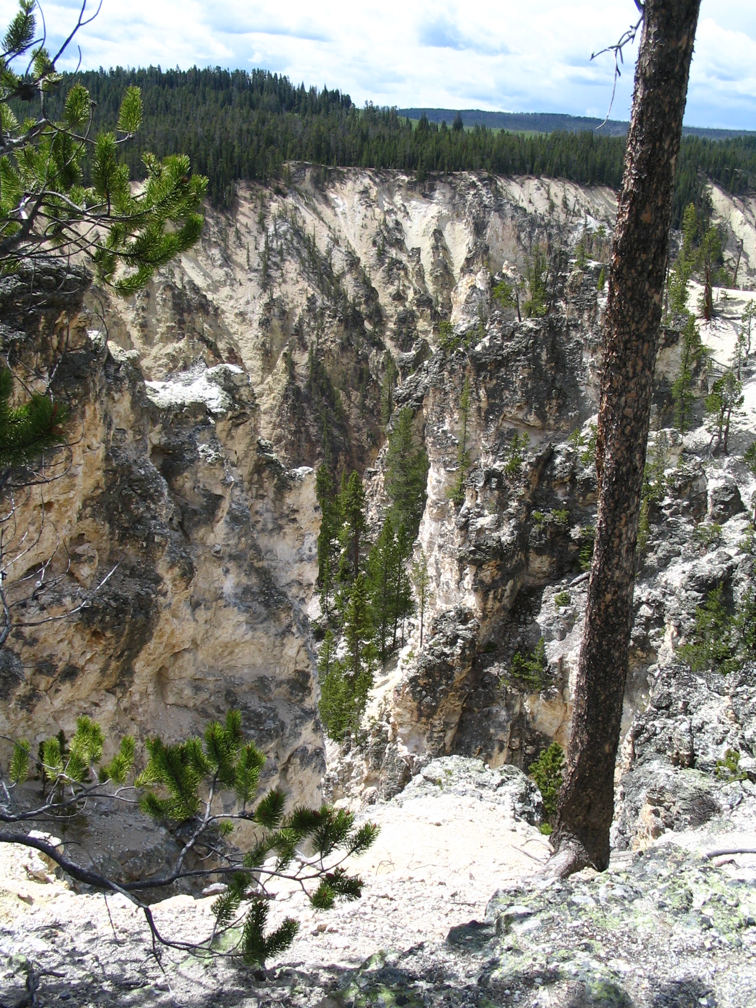
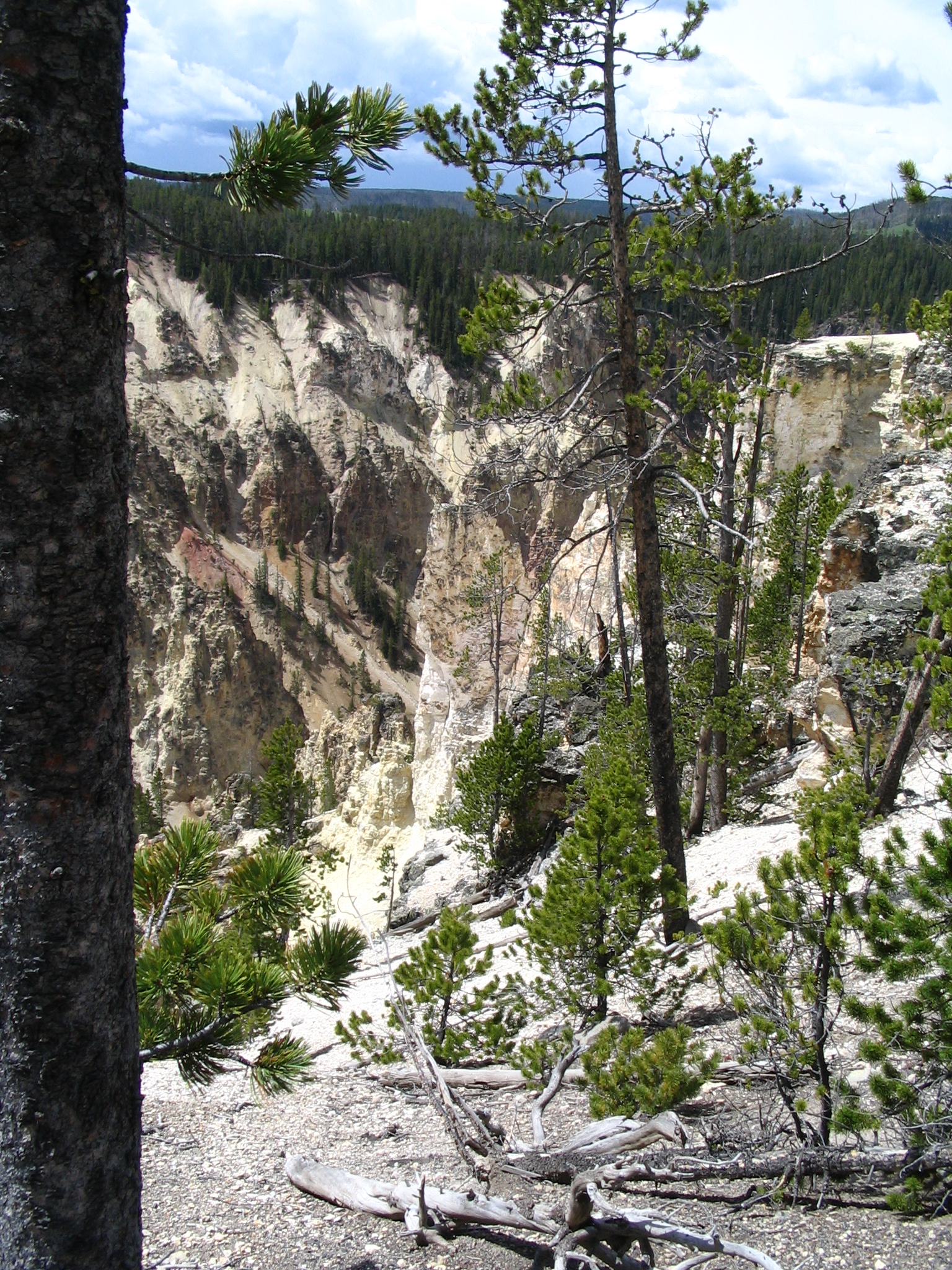
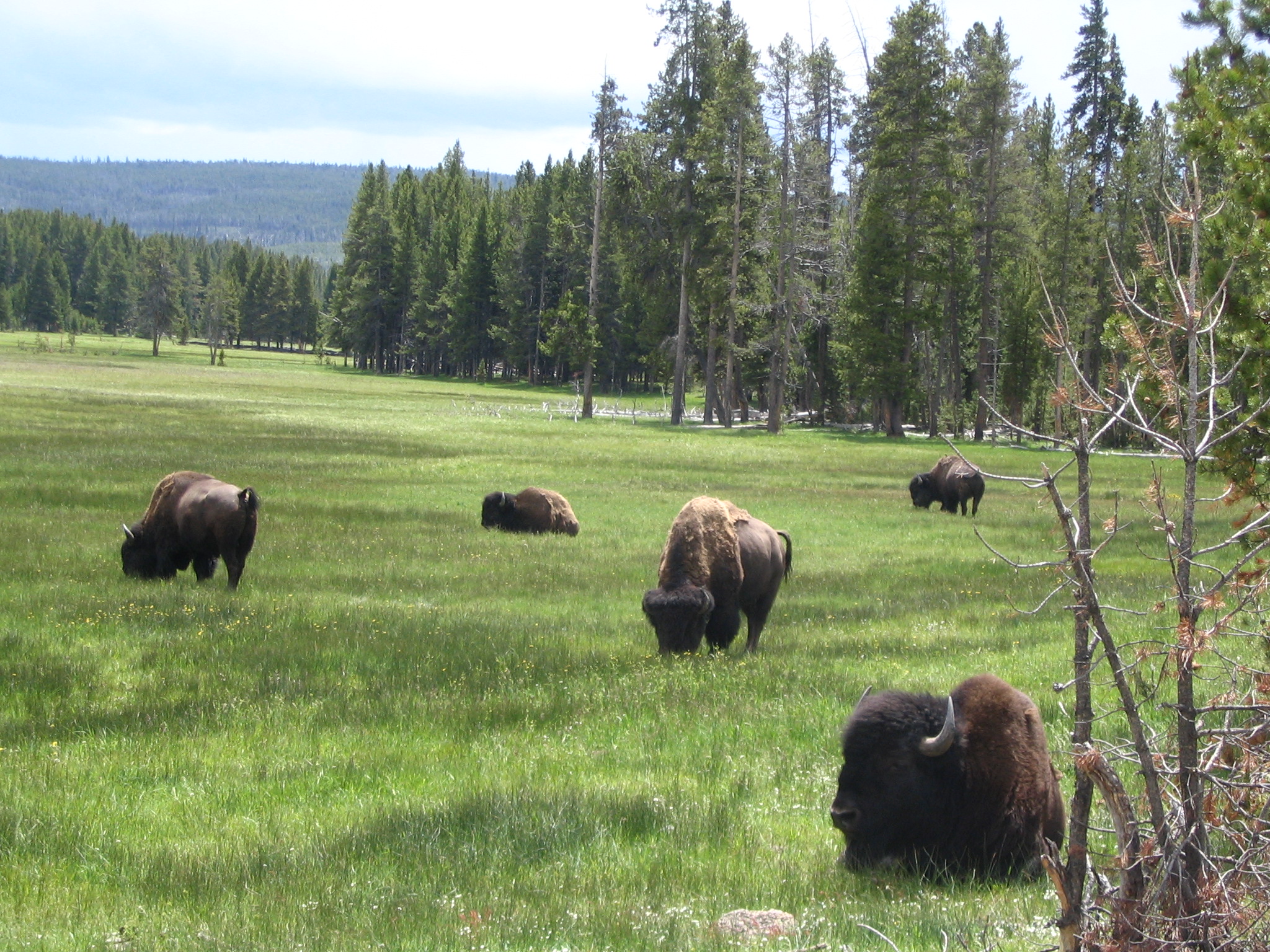
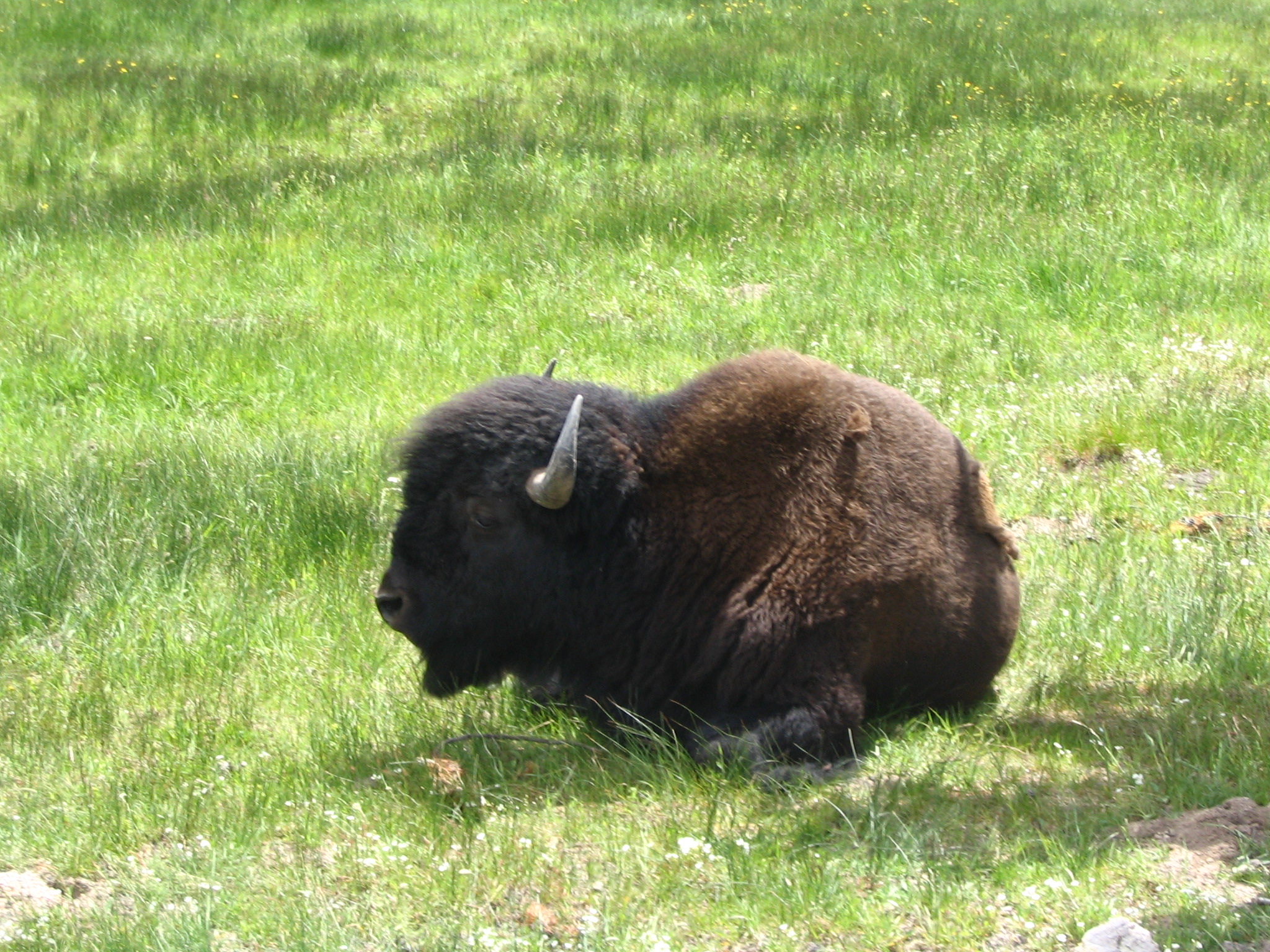
After finishing our viewing, and hearing the roar of the lower falls, we head back over the connector road, and make a right turn to head toward Mammoth Hot Springs. At some point along the way, we see a bunch of cars pulled over, and see a half-dozen buffalo quite near the road, along with a number of tourists stopping for pictures. A group of Mexican guys get really close, one turning his back to the closest buffalo, for a photo-opt! Risky business.
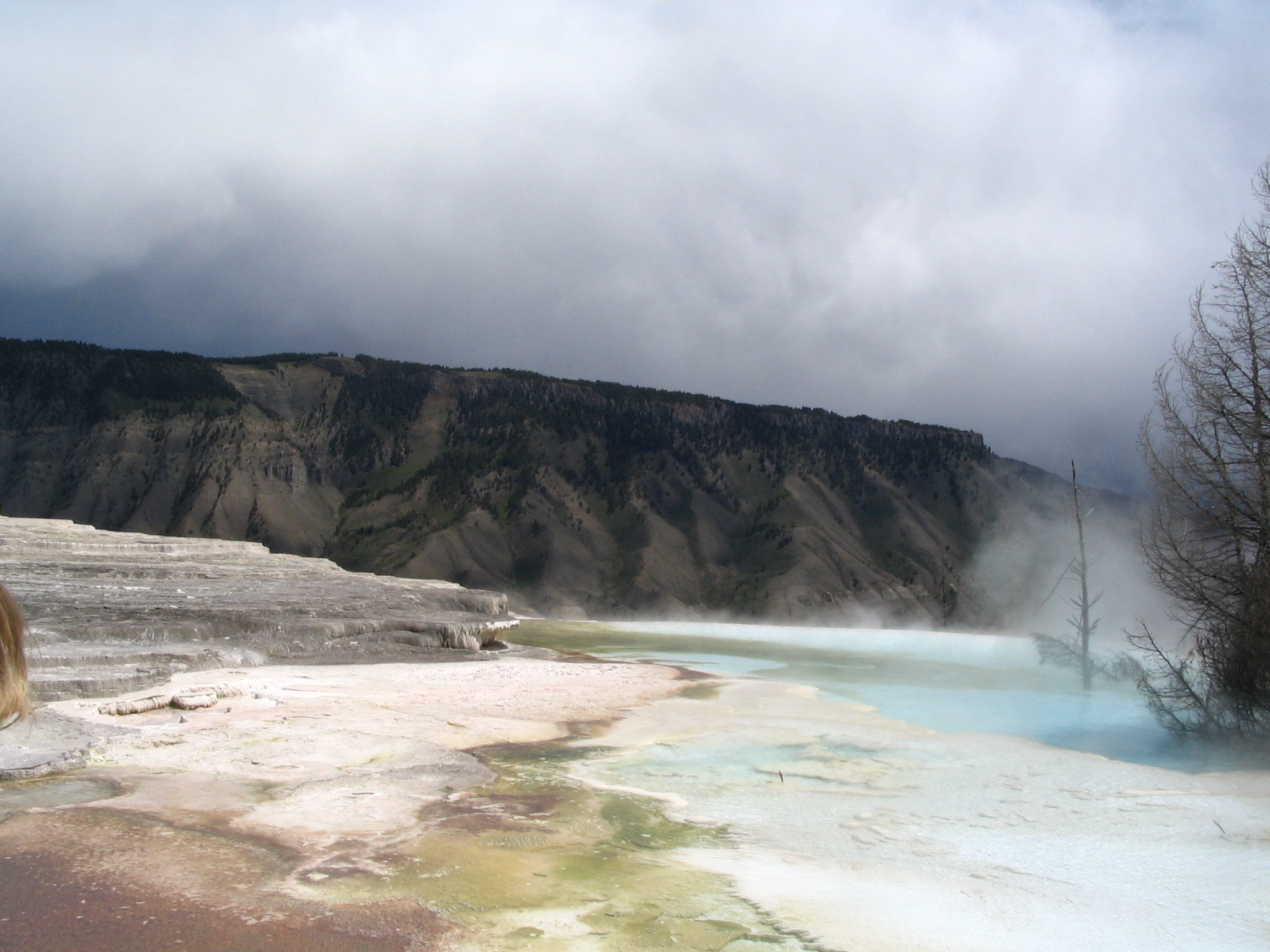
We get back in the car, and soon are heading head down the switchbacks towards the Mammoth Hot Springs village. Part-way down, there is a turn-off for the “terrace”. We drive in and park, and walk across the boardwalk to a few viewing sites. But neither Courtney nor I really want to walk the full extent of the walkways – one could spend considerable time here, not to mention quite a few steps. Plus, it seems to me that the hot springs here have dried up a bit from what I remember seeing in pictures from the past. Maybe not. I don’t know.
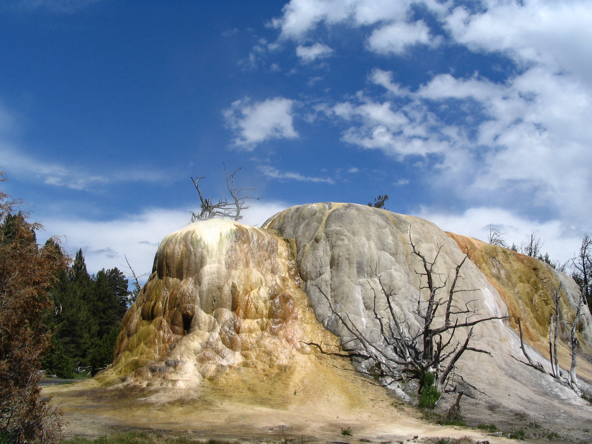
We get back in the car and drive around the terrace loop, stopping at a wondrous large rock formation with a yellowy moist coating. We stop for pictures and other necessities. We also eat some lunch, as a few sprinkles of rain fall. Then it’s down to the village. We park, and locate pay phones. We call Vonnie, and leave a message for Eric and Tara. Courtney makes one or two other calls. Then to the hotel, to buy some postcards. We write them, and mail them before leaving. After buying ice and taking a few more pictures, we are off to the east.
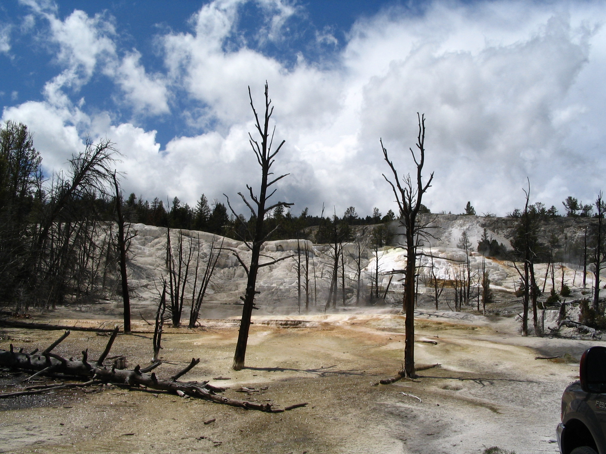
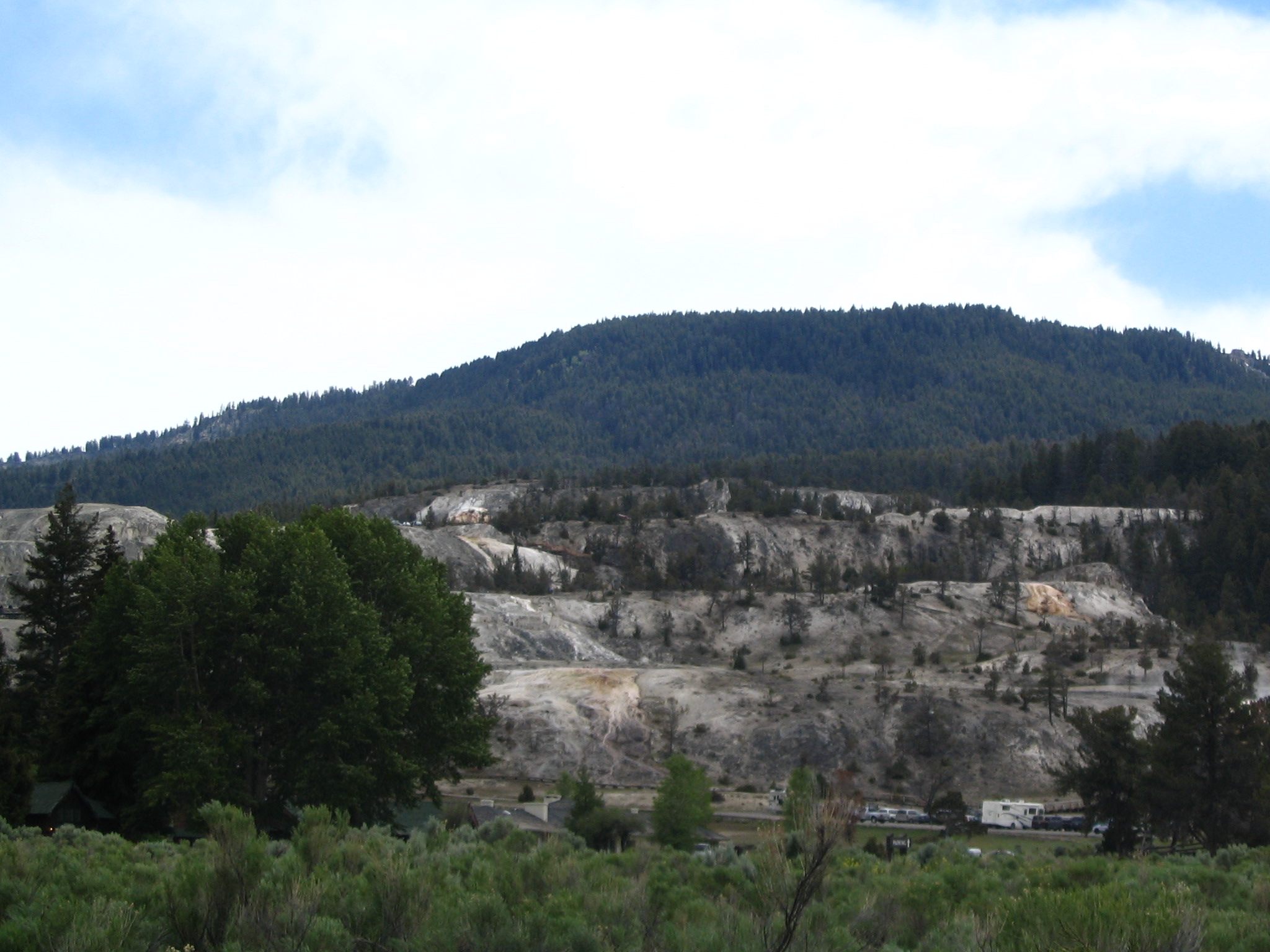
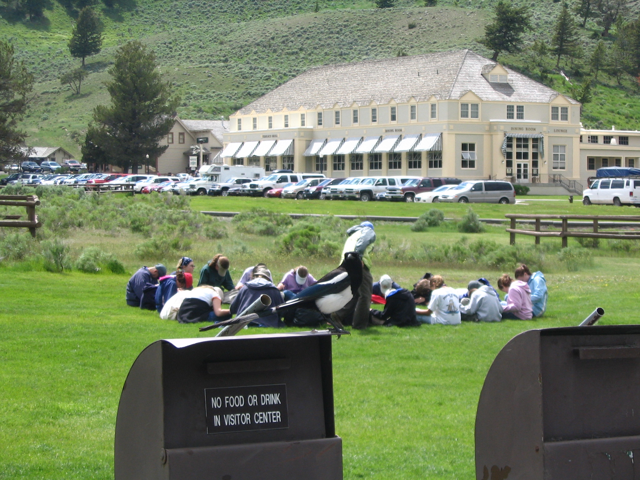
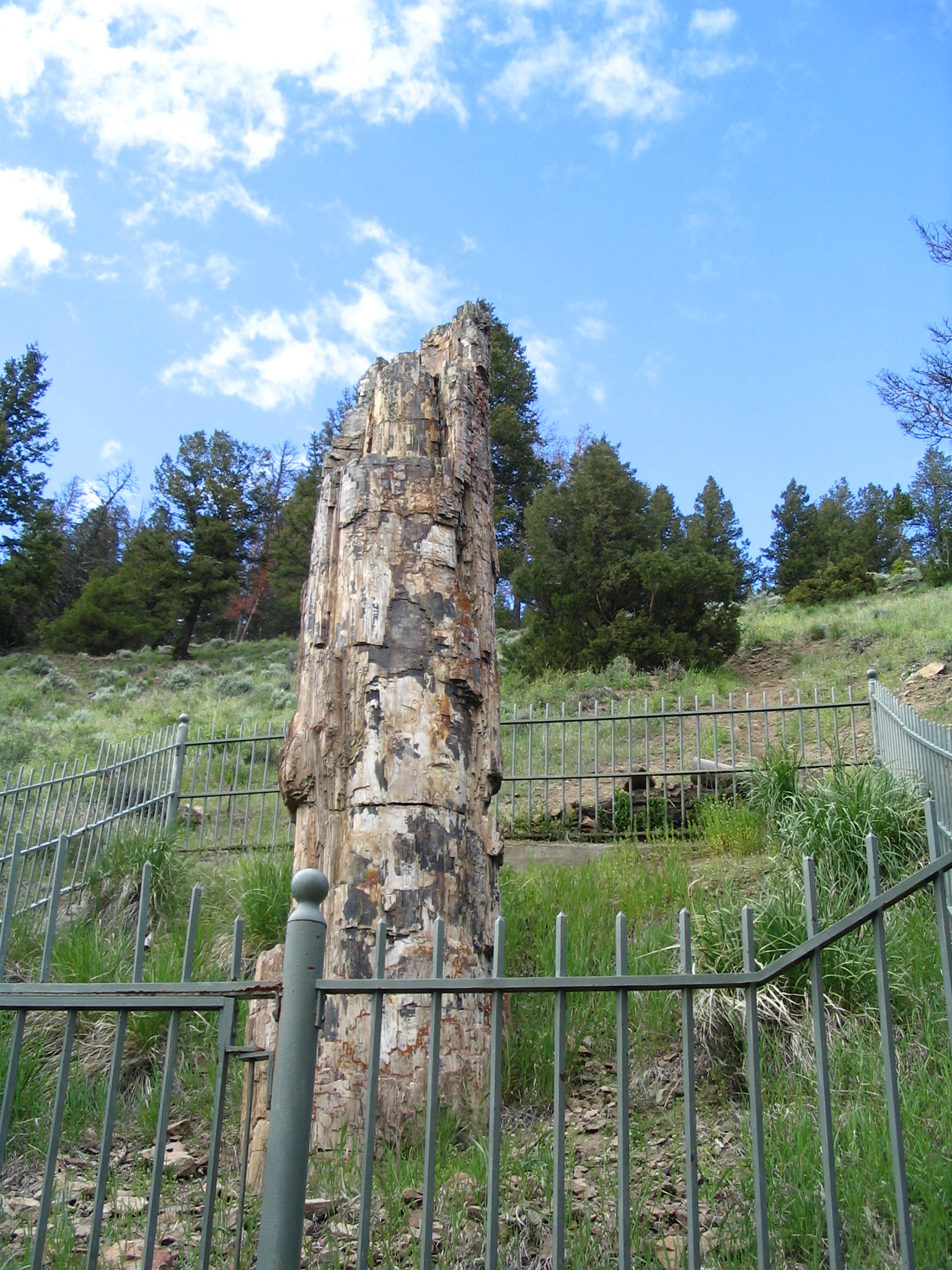
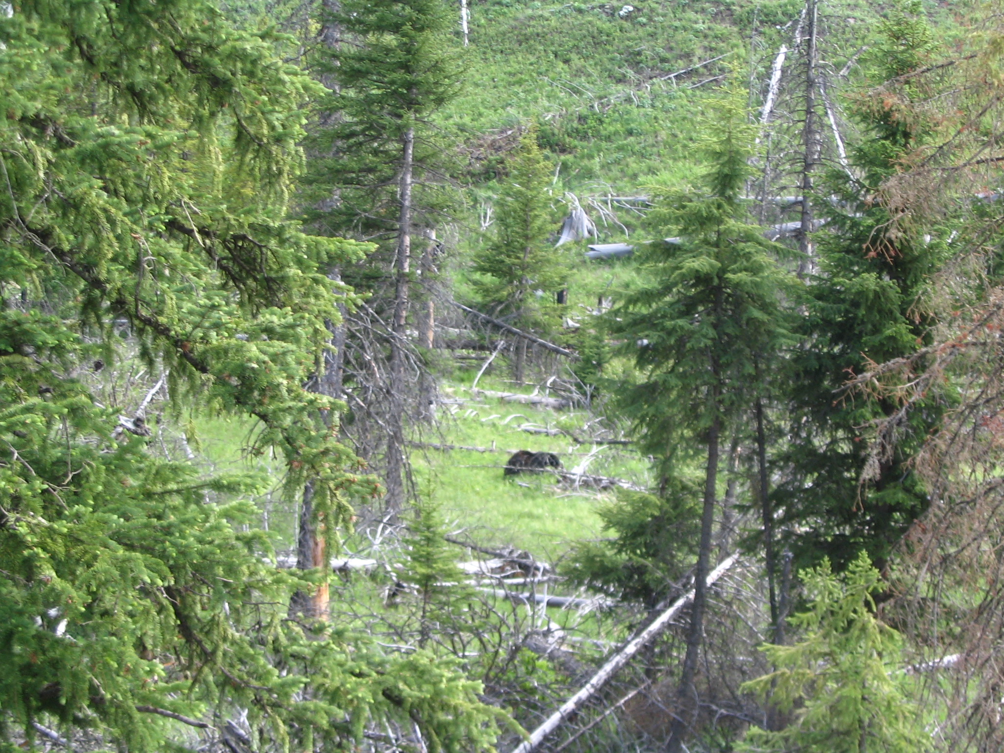
As we drive along toward Tower Junction, it’s one beautiful view after another. We take the turn-off for the petrified tree (not all that special, by the way), and on the access road see our first bear. A bunch of cars stopped and everybody (us included) taking pictures. We leave there, and fortunately at Tower we find the gas station still open – we were pretty low on fuel at that point. As we leave there and head towards the northeast entrance, the scenery becomes if anything more dramatic and beautiful.
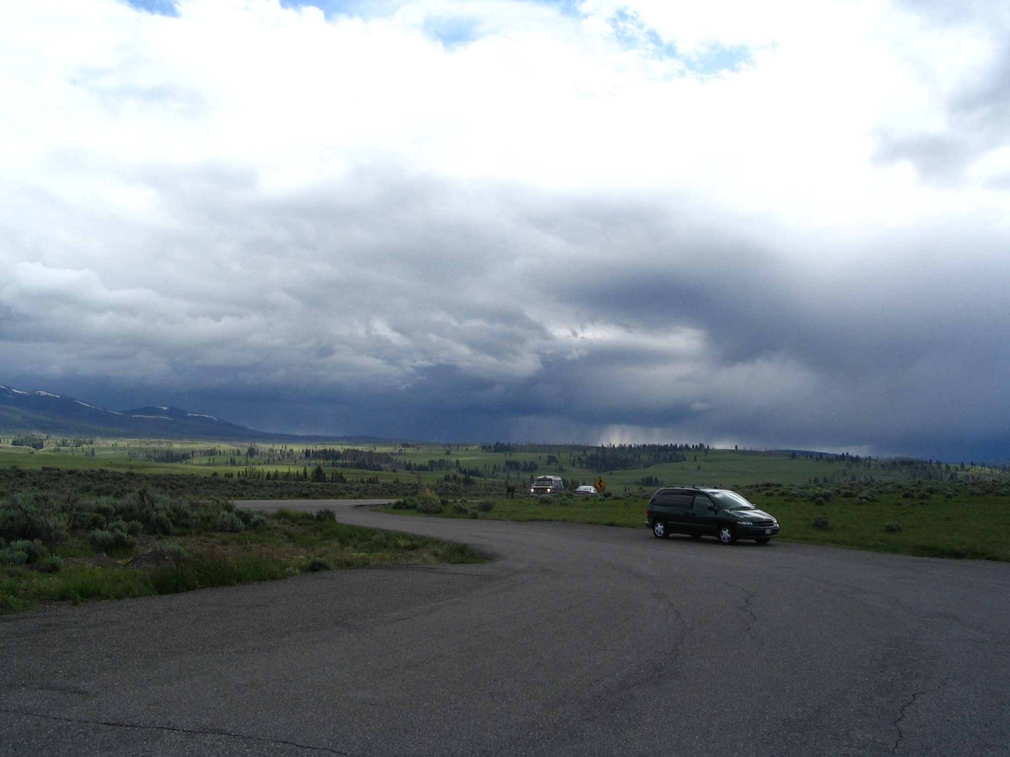
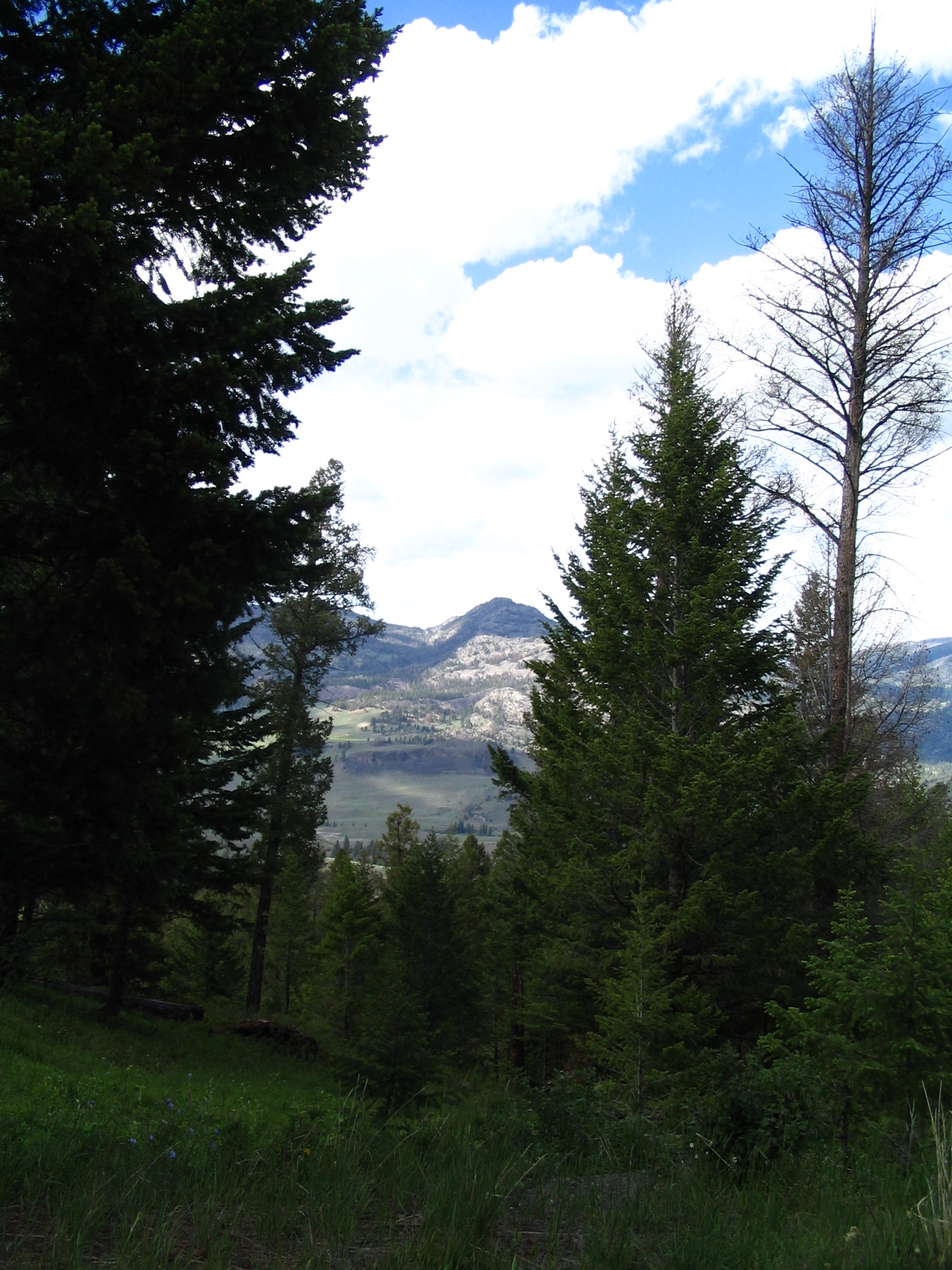
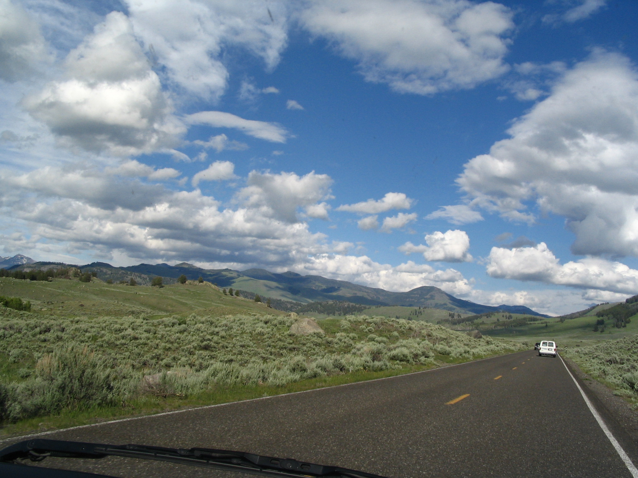
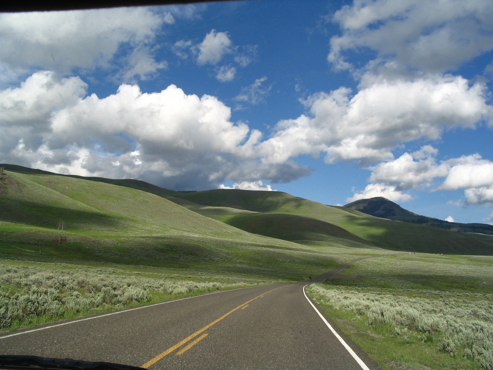
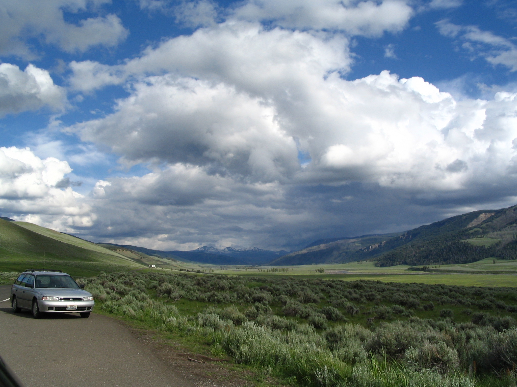
As the valley we are driving up narrows down, we come upon the Pebble Creek campsite. Courtney wants to roast the rest of the hot dogs, so we stop and ask the campground host (Ray Rathmell) if we could use one of the vacant grills. He says that there are only two campsites left, and he is pretty sure that there will be latecomers who will want to camp. However, after thinking a bit, he offers to let us use his grill. He and his wife Darlene have spent a number of years as campground hosts and in other similar positions. He’s a retired junior high geography teacher from Loch Haven PA. He tells us about the benefits of the 1988 fires: 10,000 new elk, several thousand new buffalo, 100 new species of birds, new species of trees to replace the almost exclusive Lodgepole Pines. So maybe the fires weren’t a total disaster.
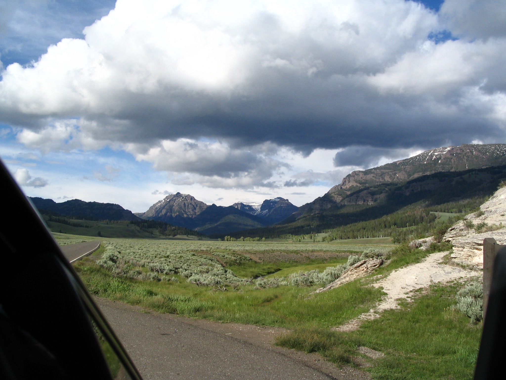
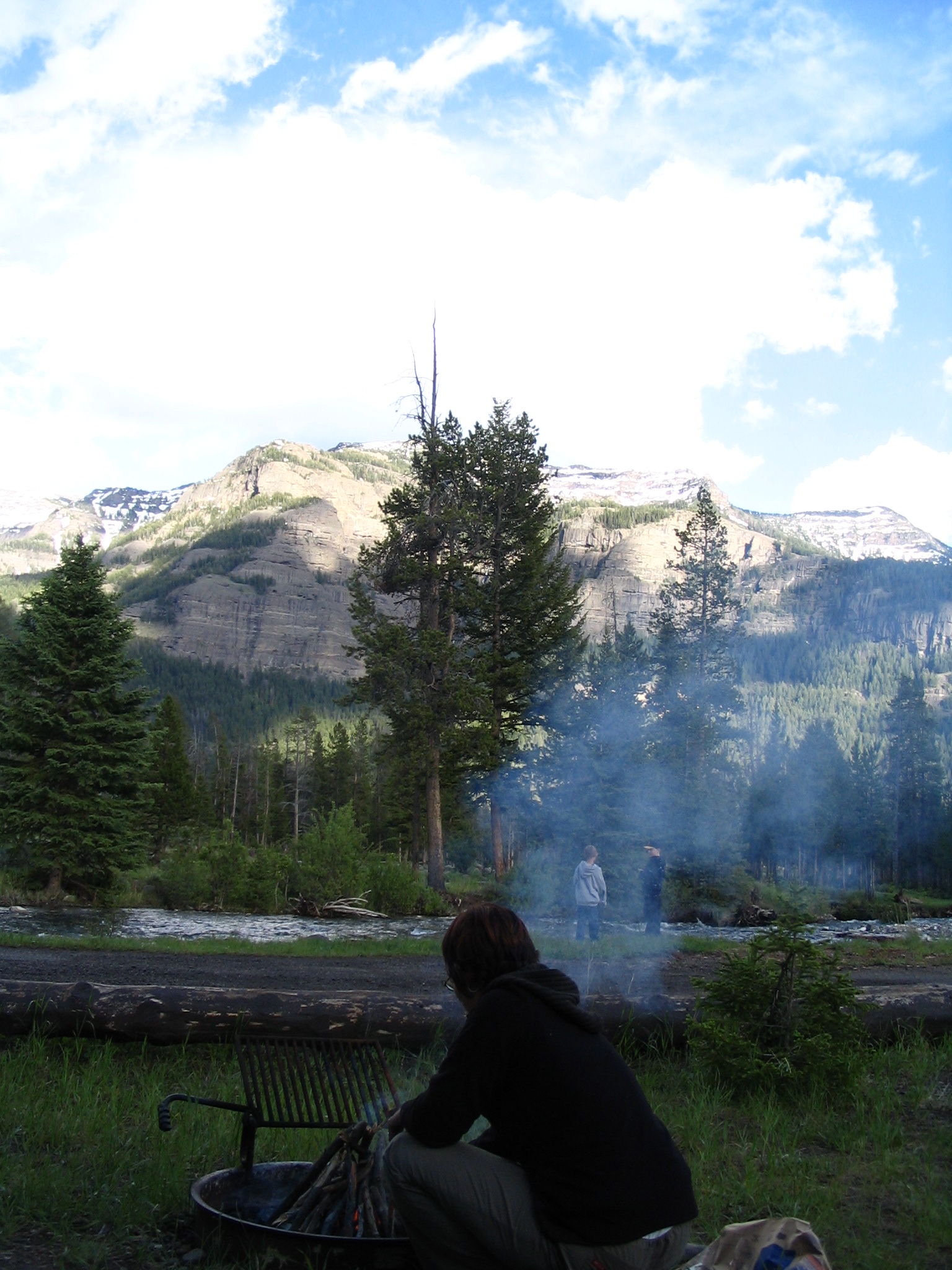
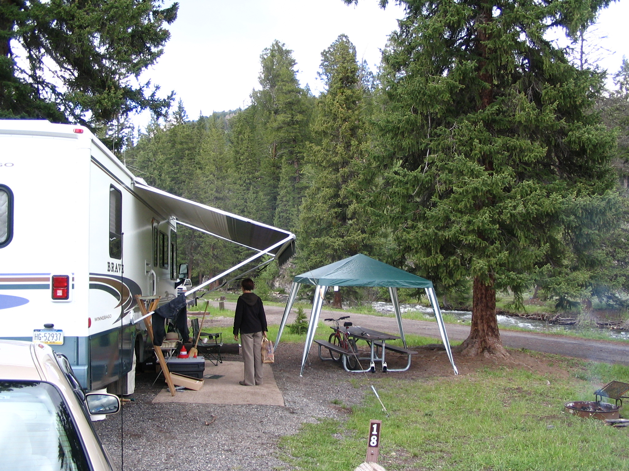
Courtney builds the fire, and we eat our hot dogs, cheese, tomatoes, etc., standing next to the stream, and talking with the host and his wife. We clean up, and leave there, climbing over a pass to the exit, and into Montana for a few miles on US212. Still much evidence of the 1988 fires. Back in Wyoming, we take the WY296 turn-off to head for Cody. The scenery has not stopped being dramatic and beautiful. We begin a series of switchbacks that will last for what seems like an hour as we ascend the Dead Indian Pass. Even though it is now 9:30, we can still see snow-capped peaks in the distance. Very few cars, however.
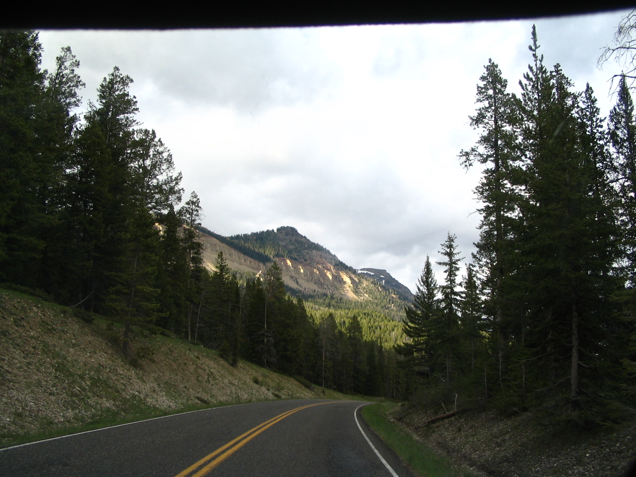
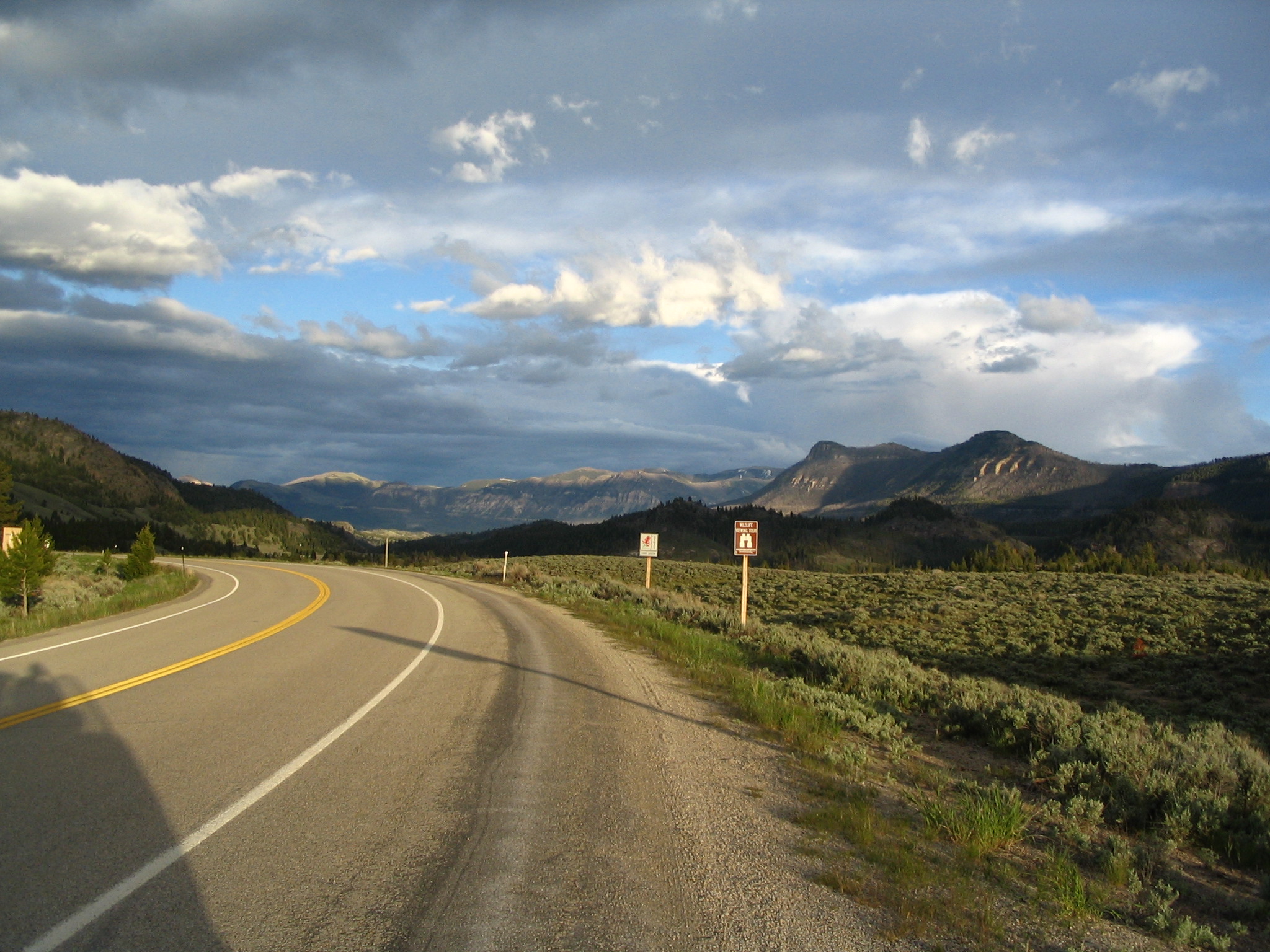
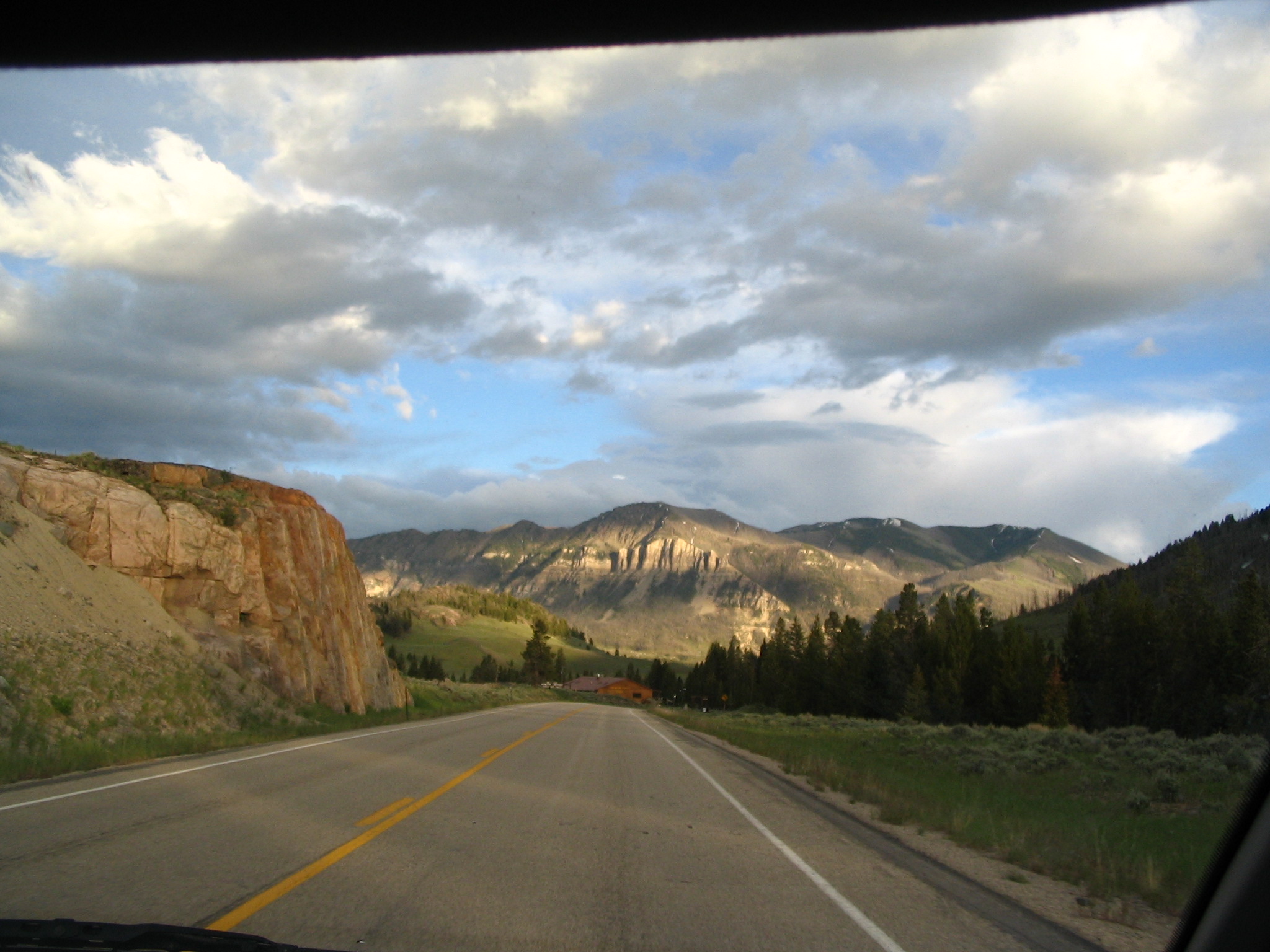
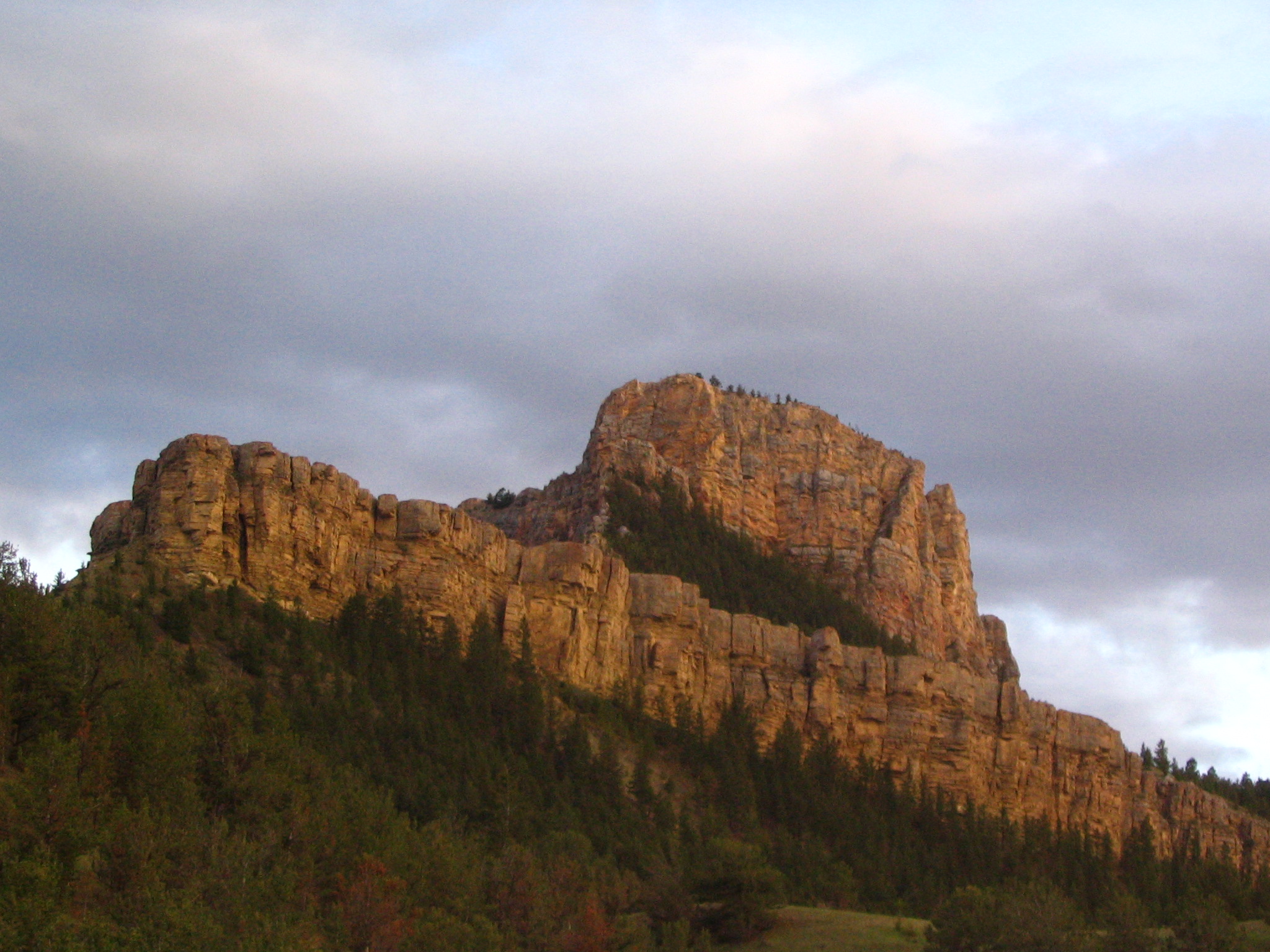
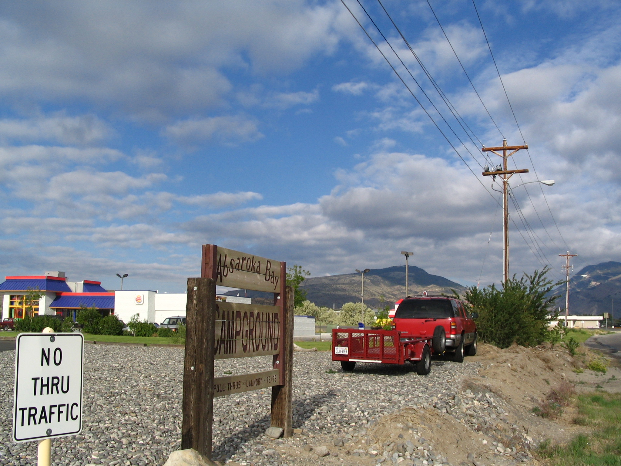
By the time we descend, it’s totally dark, but we can see in the headlights some read rock formations which must be beautiful in the daylight. We finally arrive in Cody, and tour the main street, looking for inexpensive motels. They’re all over $70.00, which is not acceptable to either of us. Finally we find an RV campground (Absaroka) on the east side of town, and allows us to pitch our tent on the lawn – which we do. Many large RV’s there.
Monday, June 21 – Cody WY to Custer, SD
After breaking camp, we both shower in the facilities at the RV site, and we each talk with different “older” people in the campground – me to a guy from Jamestown NY, who owns a huge motor home. We then go over to Burger King for breakfast. After that, we head east on US20/US14, and break off onto US14 to head up over Granite Pass. Wyoming is essentially large empty spaces with sparsely populated towns. This part, anyway.
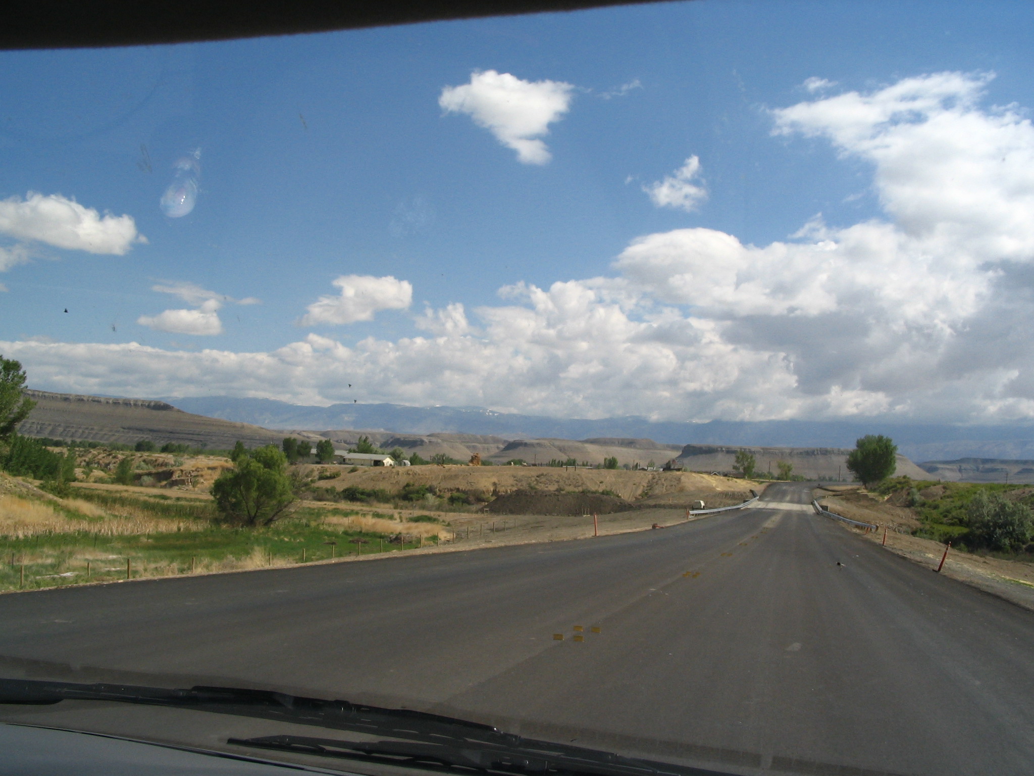
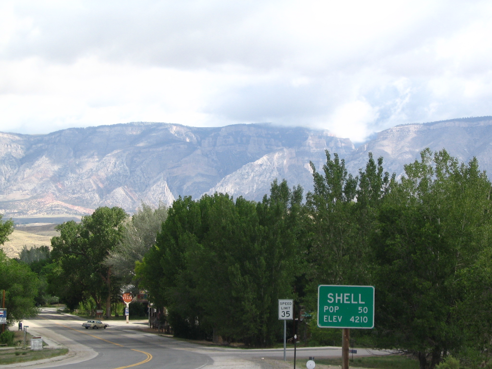
The climb over the pass is once again dramatic and beautiful, with high meadows for quite few miles once we reach the heights. At one scenic vista turn-off, after reading to me the poem “Inspiration”, Courtney witnesses to a young woman named Heidi (family in red van). On the descent, it seems as if we can see forever to the east, with rolling, almost tree-less countryside to the horizon.
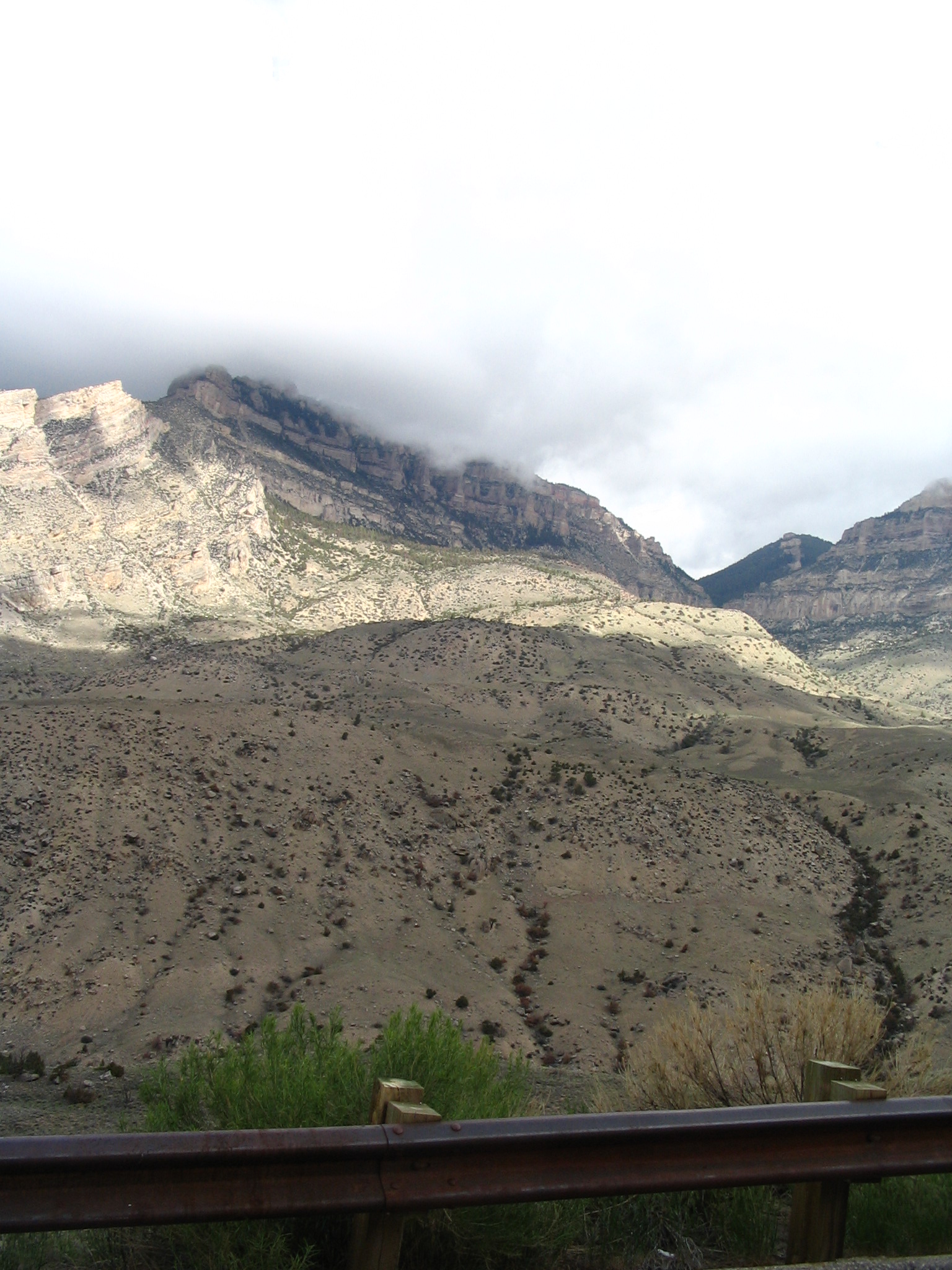
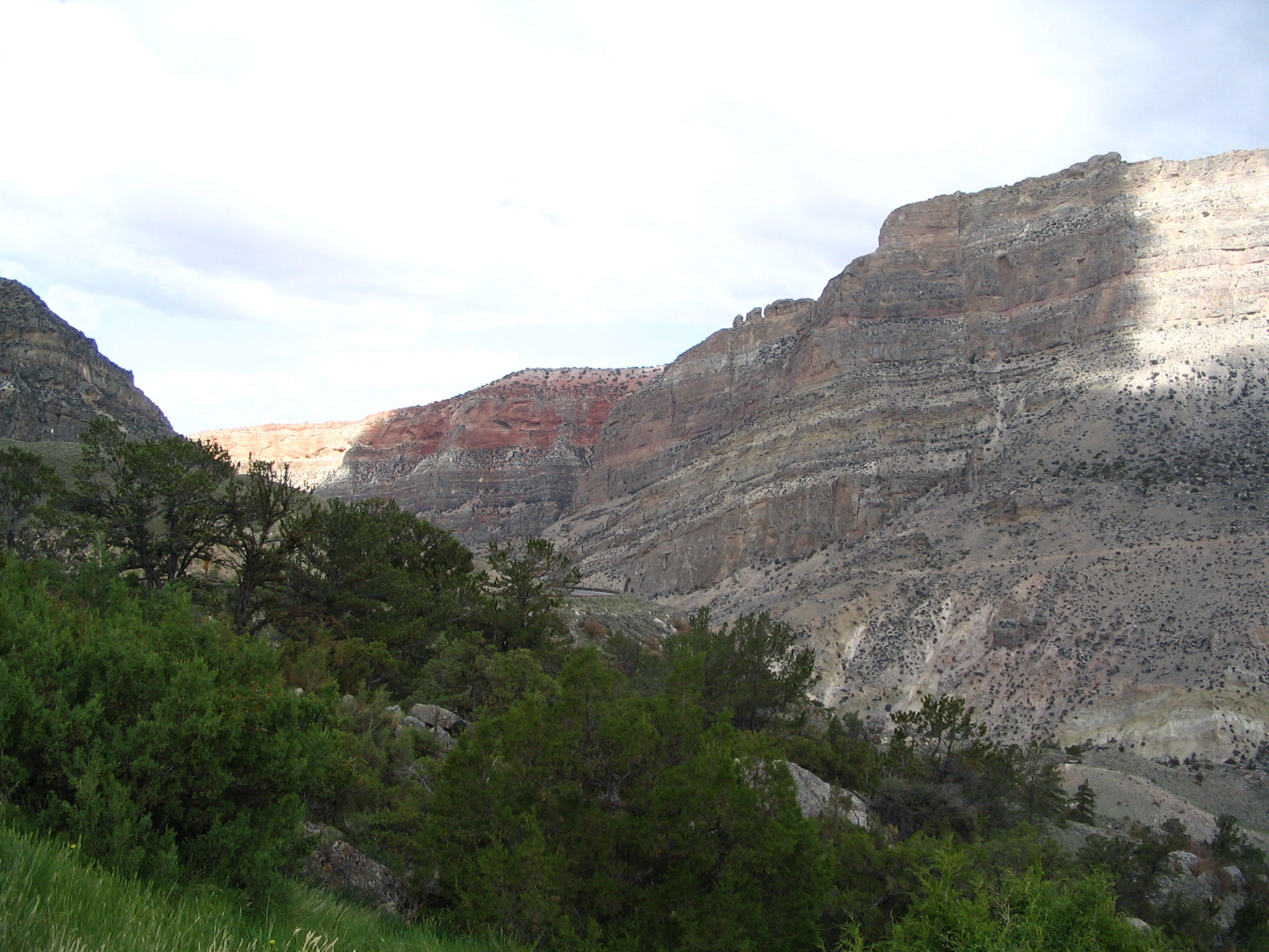
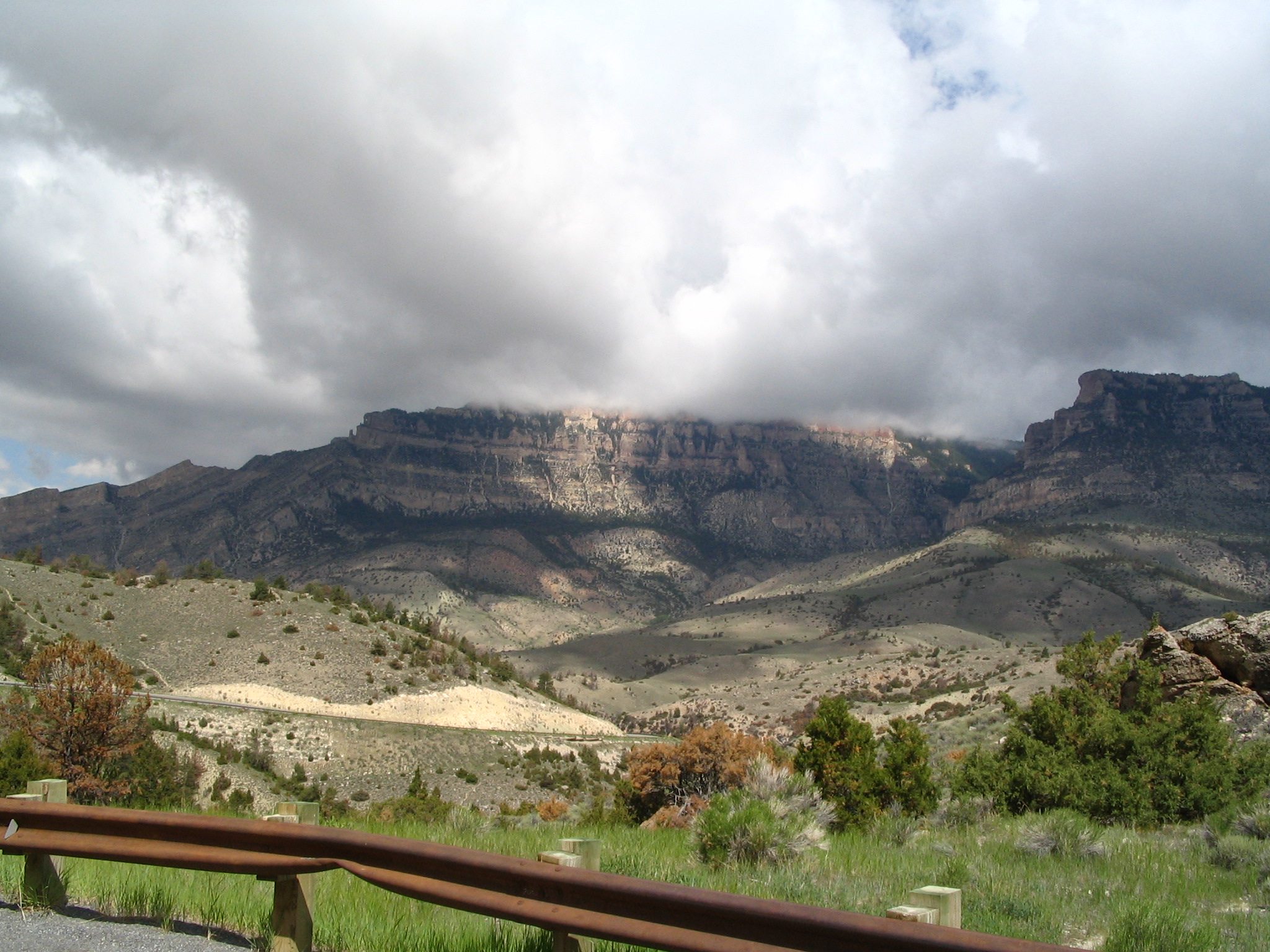
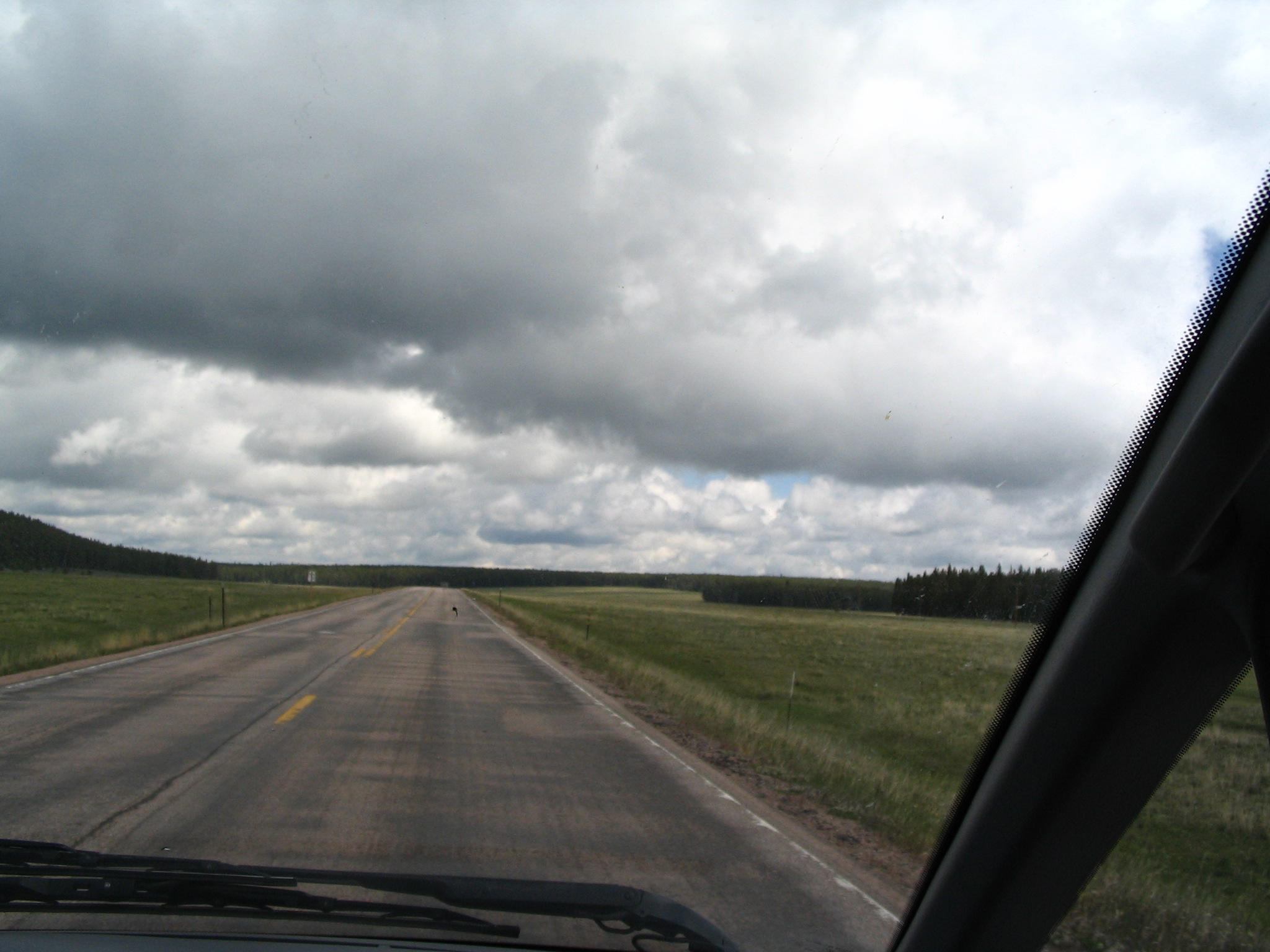
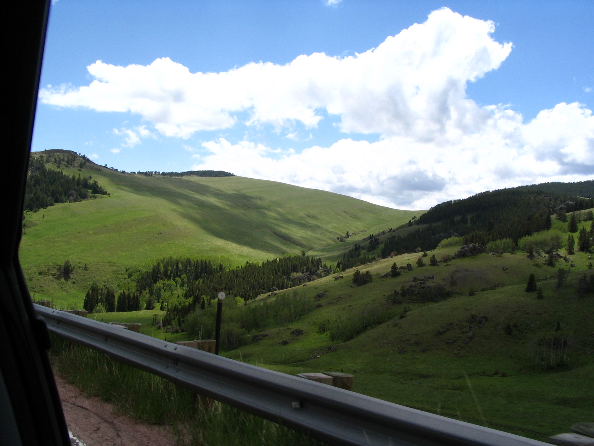
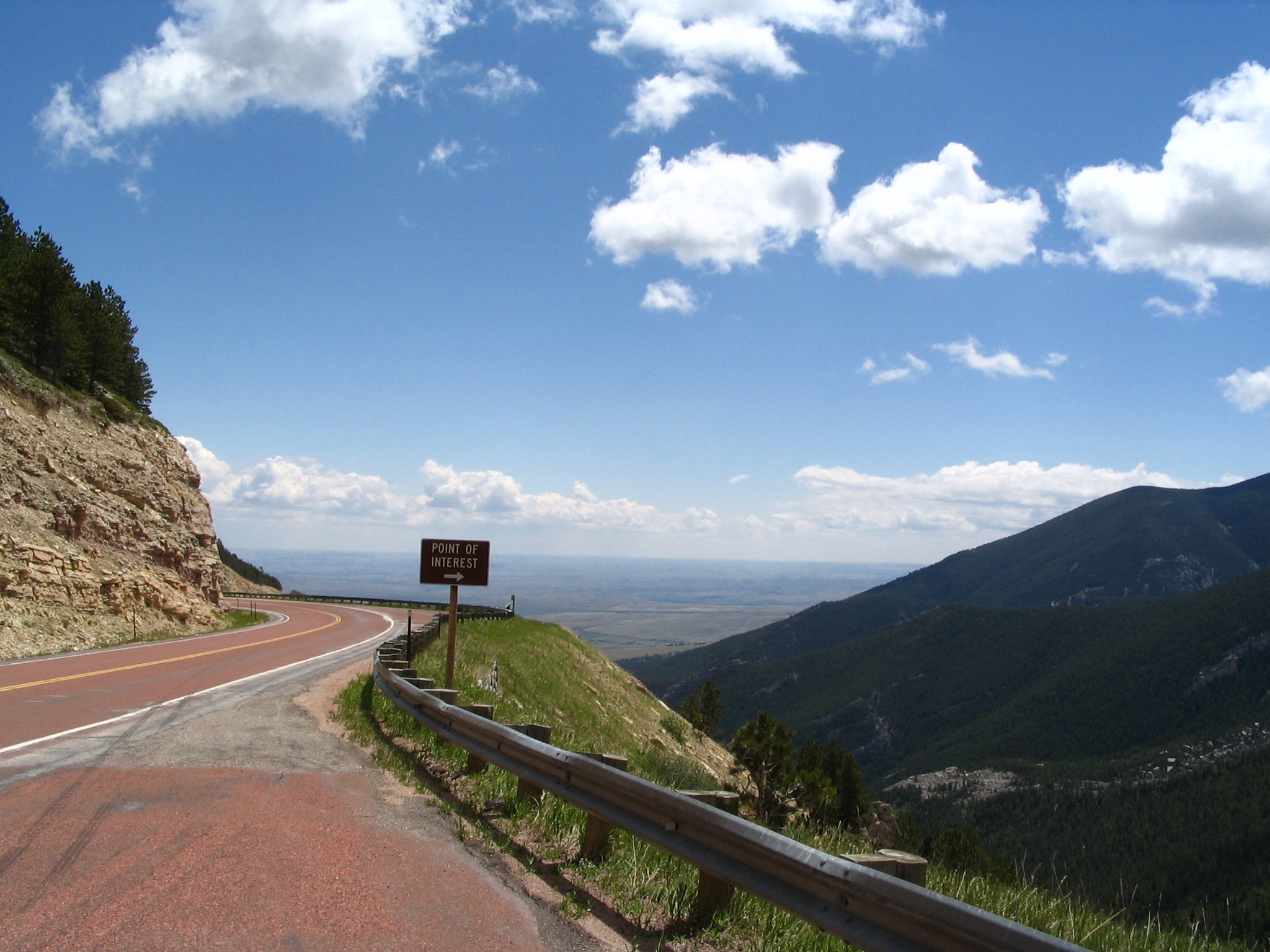
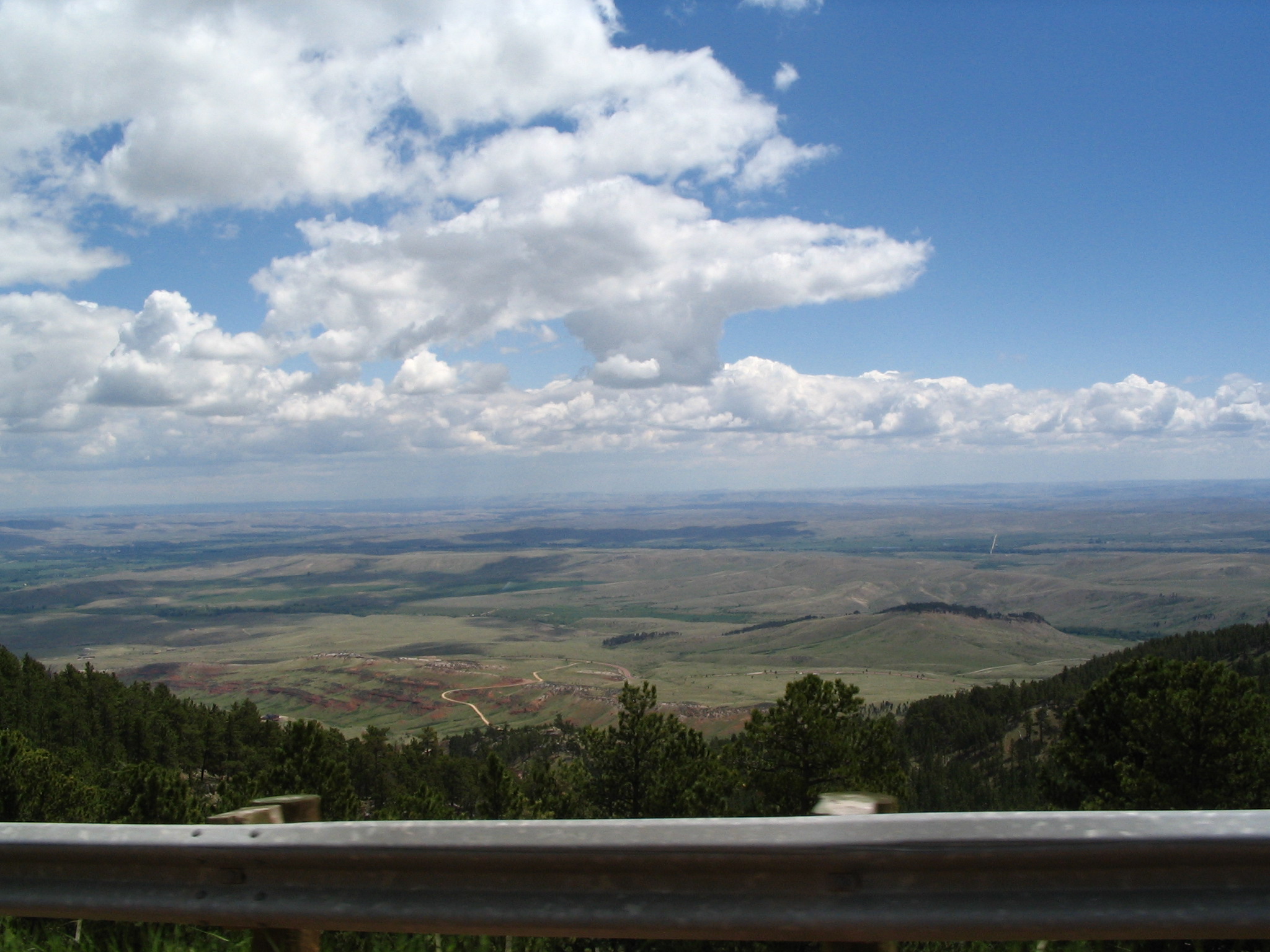
At the bottom, we pass through the little town of Dayton, and there is a crew doing a film. We continue on to the I-90 entrance, but Courtney feels we should go back to Dayton. We do so, but we don’t get to see much of the film-making activity. We then go across the street to a restaurant for lunch. As we are leaving, Courtney witnesses to two young men (David and Zachary) seated at a nearby table.
Back in the car, and it’s on to Sheridan. We go into town, and ultimately end up at a Safeway for getting some more groceries. Leaving there, we drive down a back alley by a group of three teenagers waiting to go into a drug-rehab facility, and stop and talk about God with them for at least 30 minutes. We end up giving each of them (Gavin, Josh, Tim) Bibles. I try to reach by phone one of the families that Russell Kent had referred us to (to follow up with these youth), but there was no answer. Leaving Sheridan, we got back onto I-90 until the US16 turn-off towards the Black Hills. We stay on this route all the way to Custer, SD.
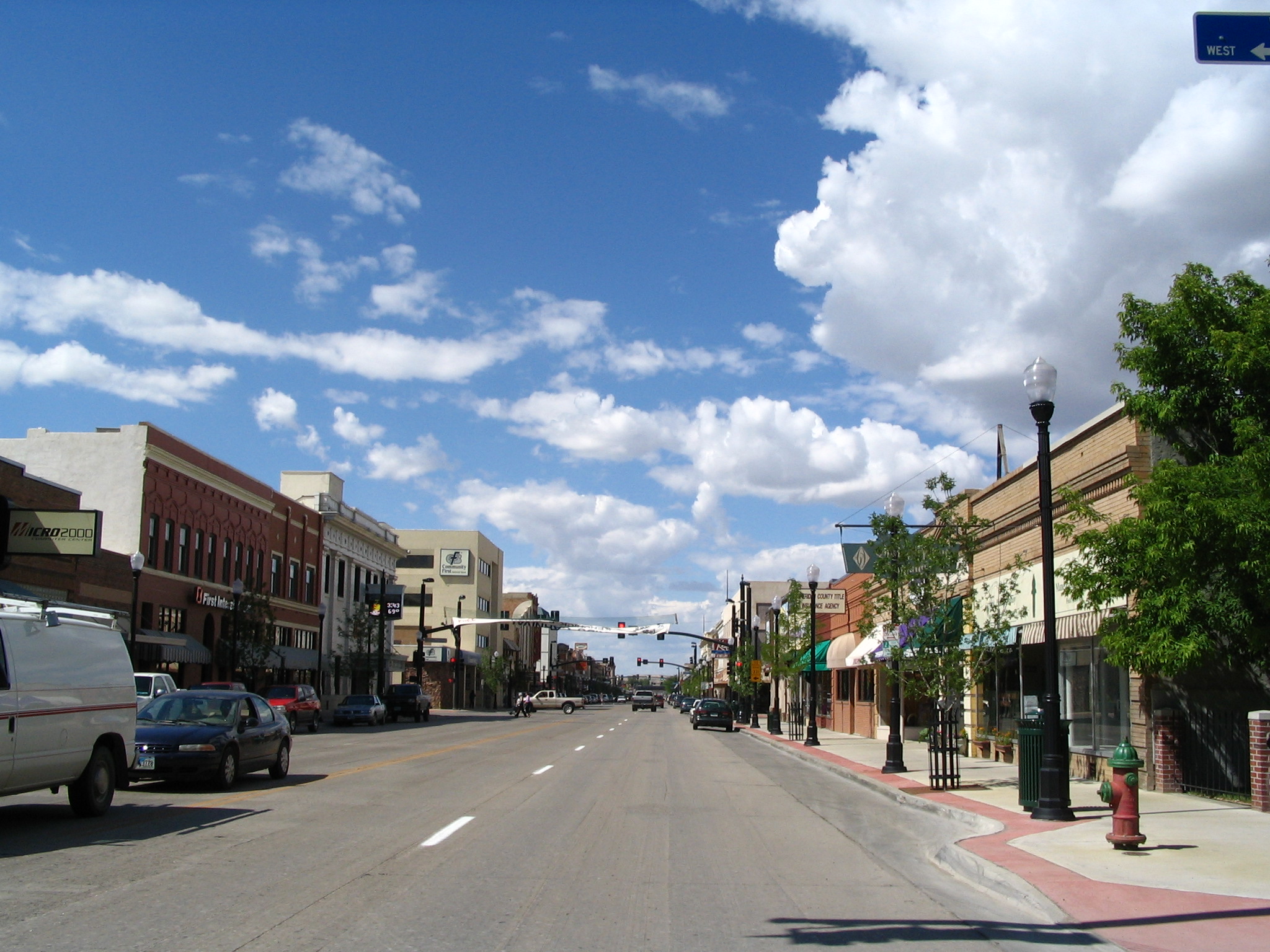
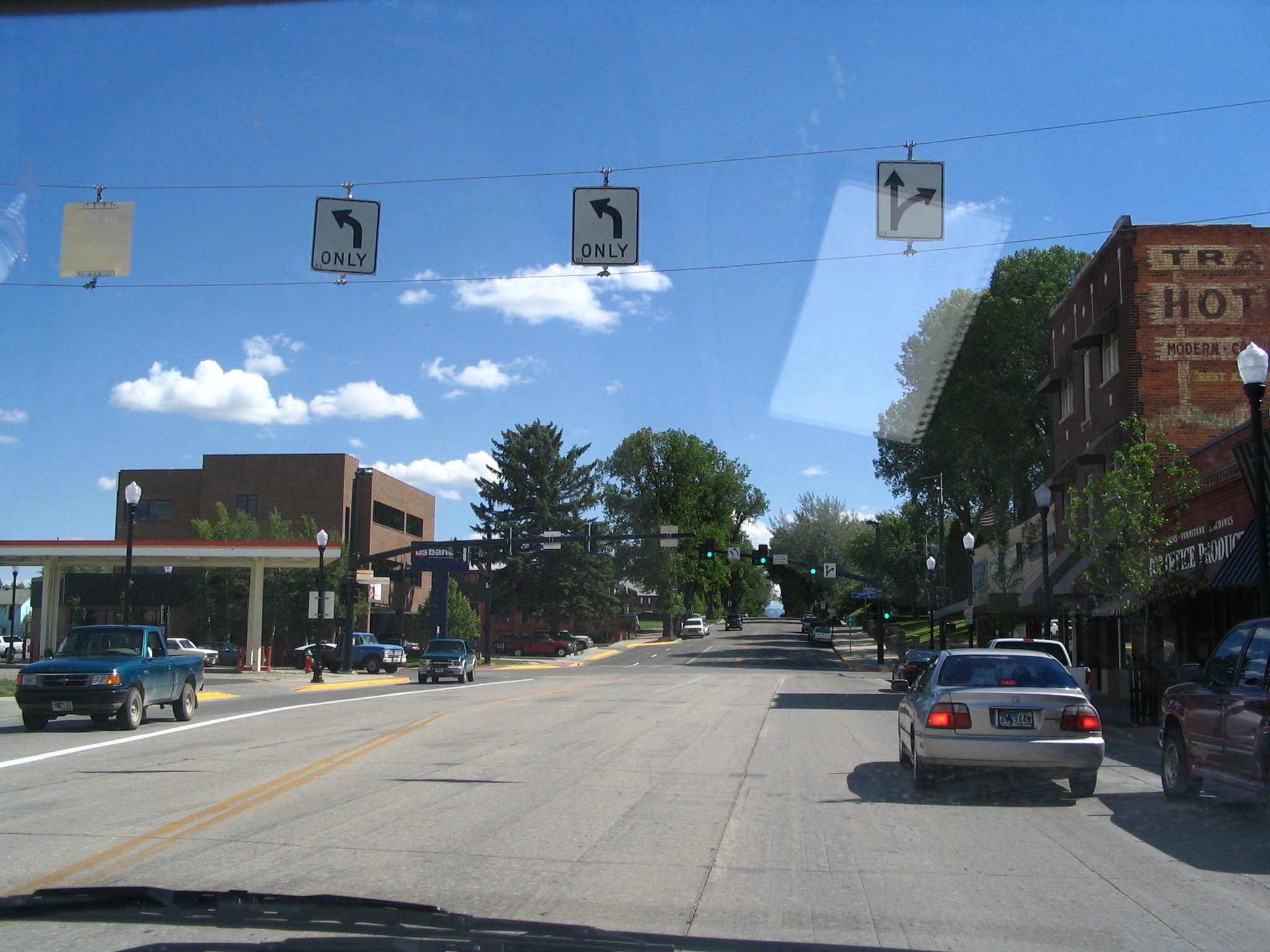
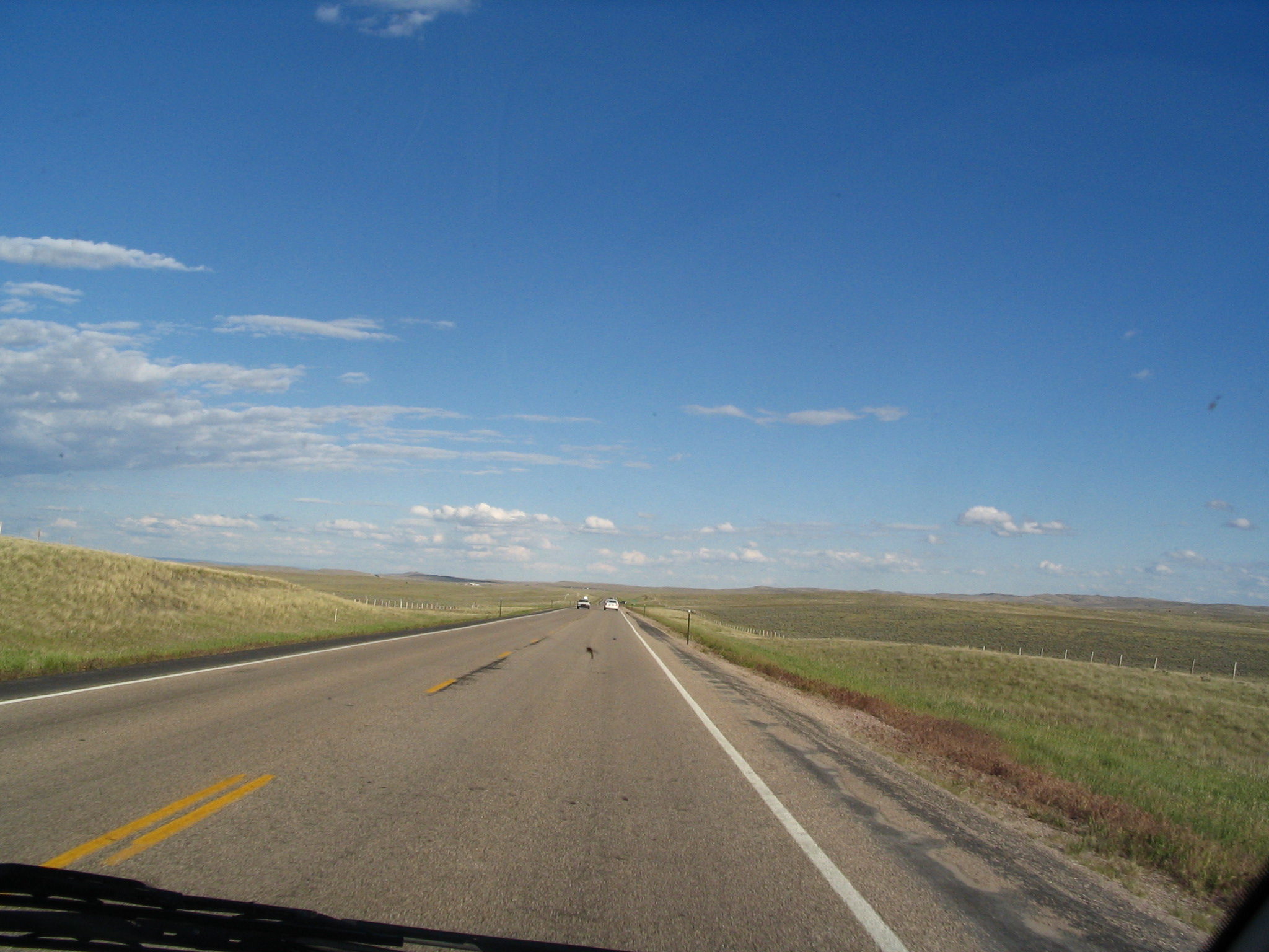
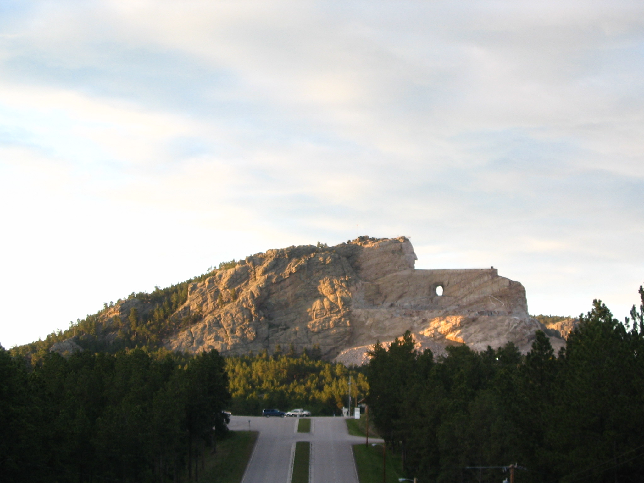
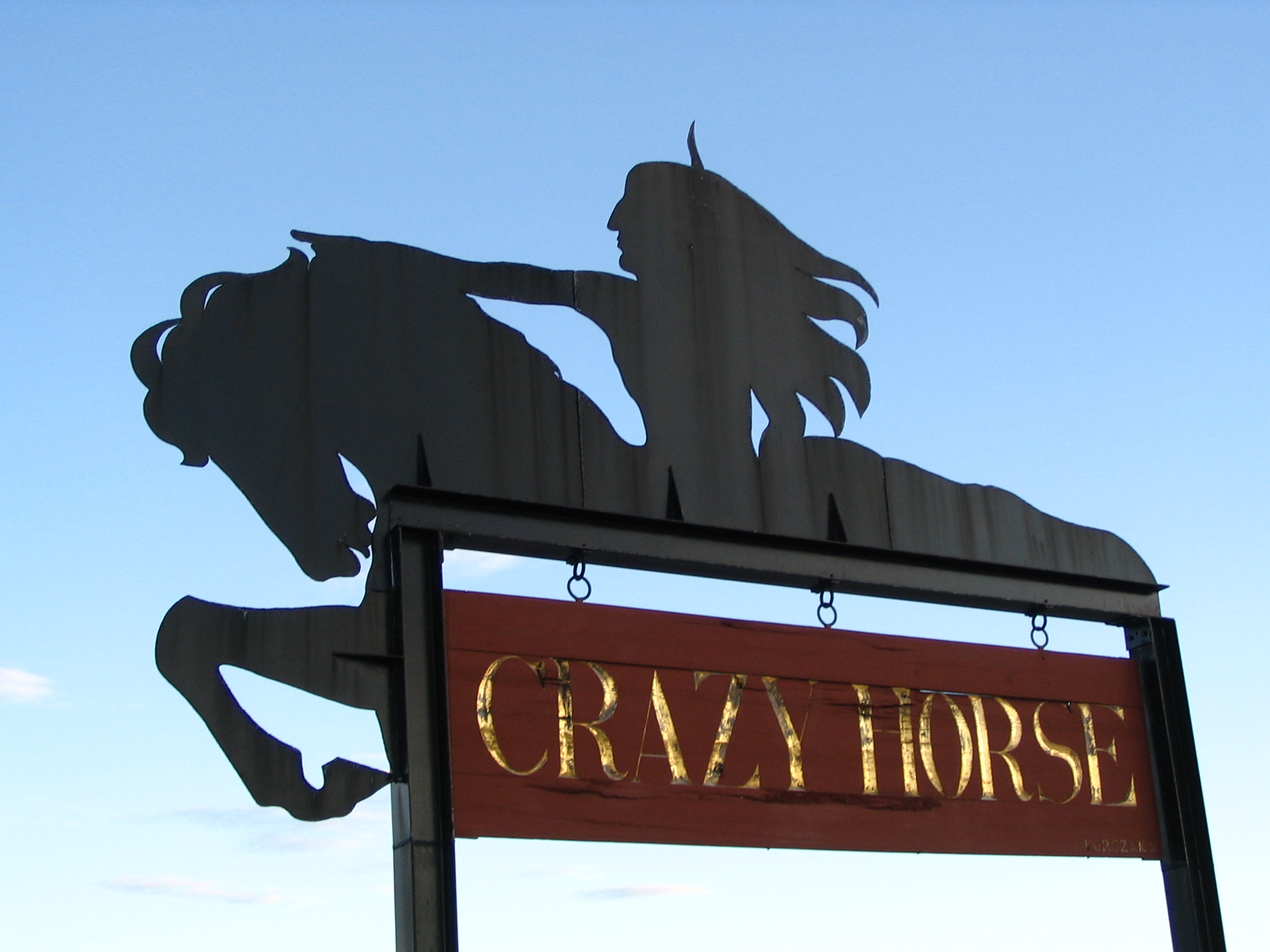
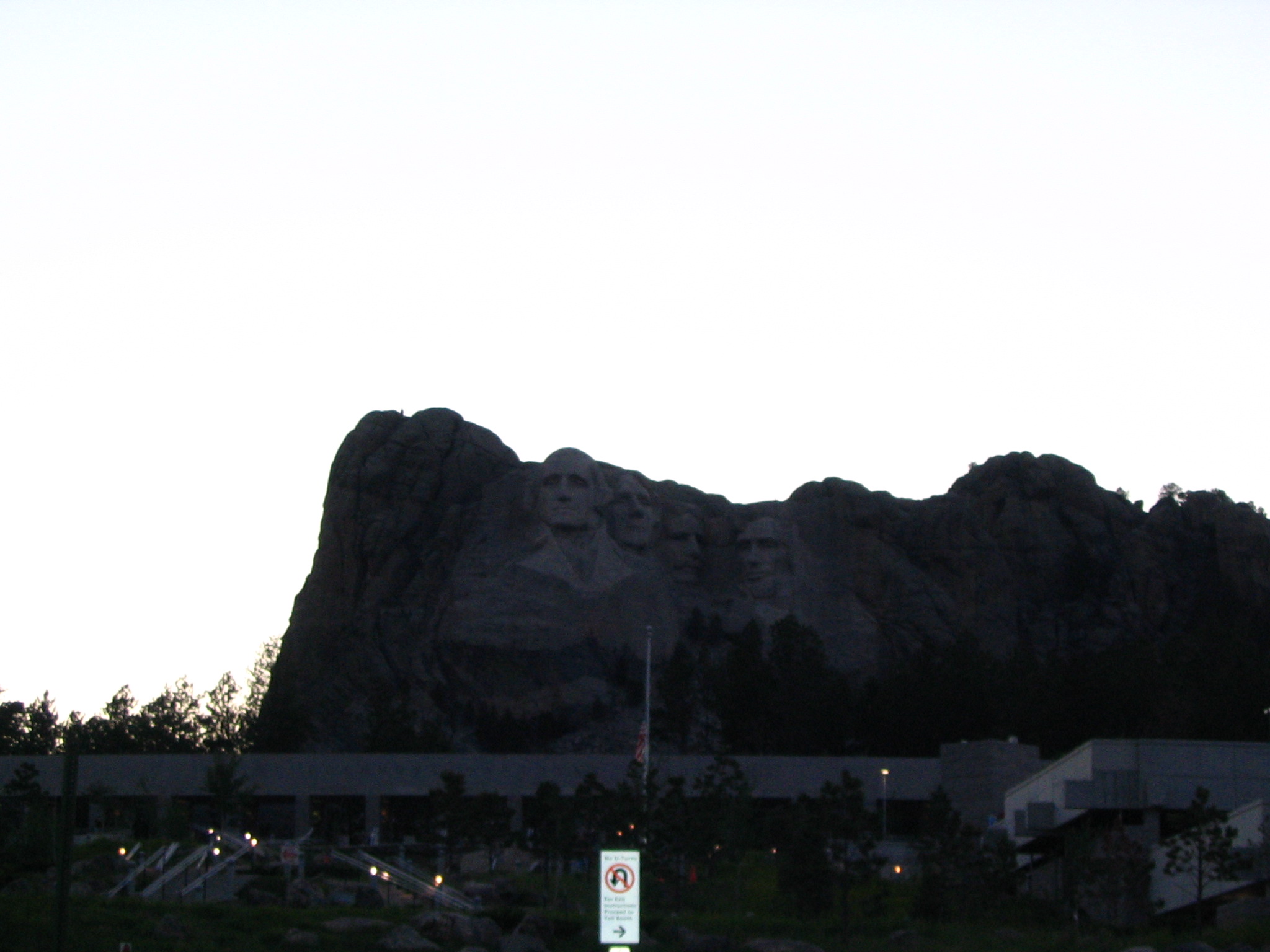
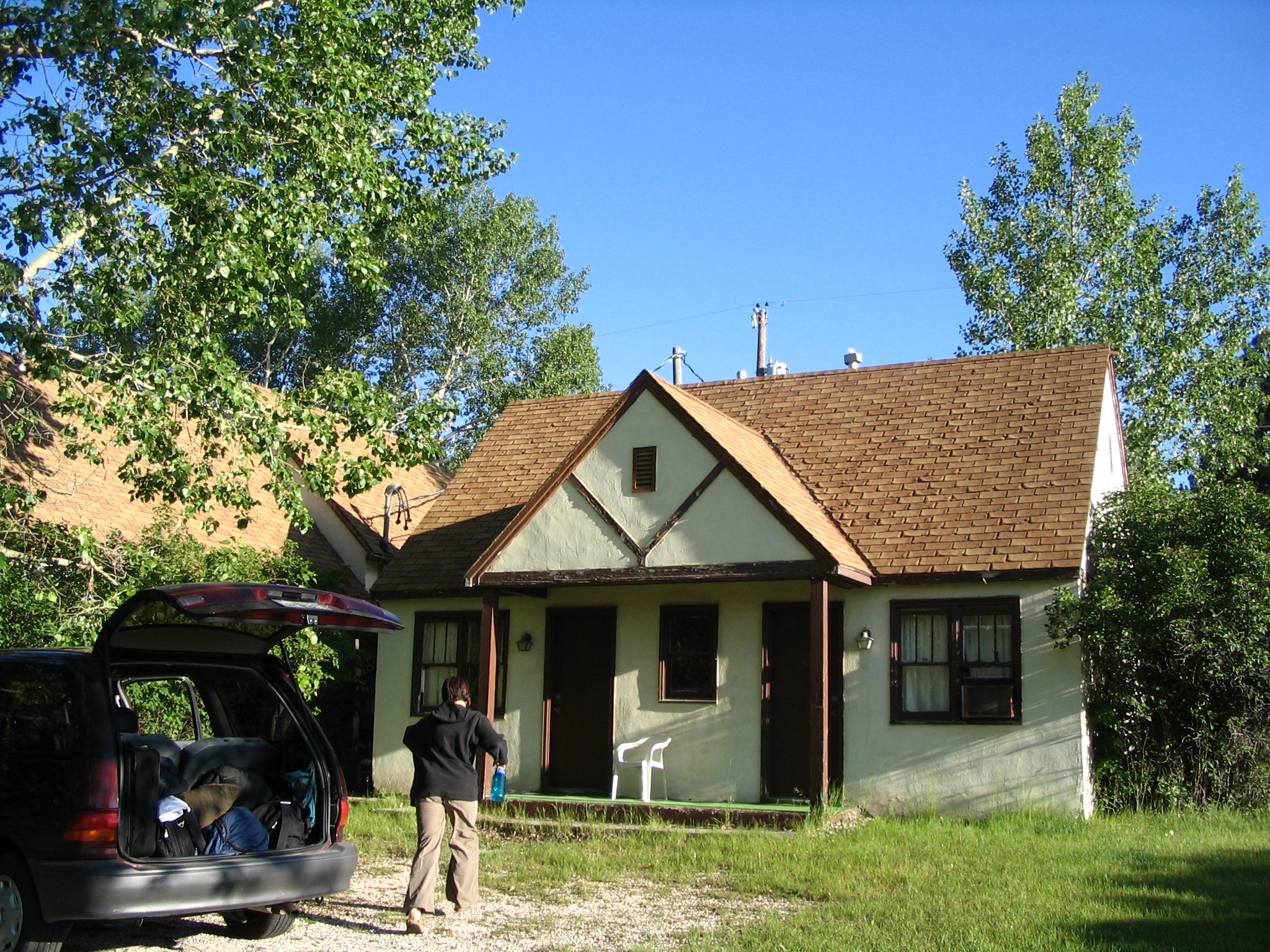
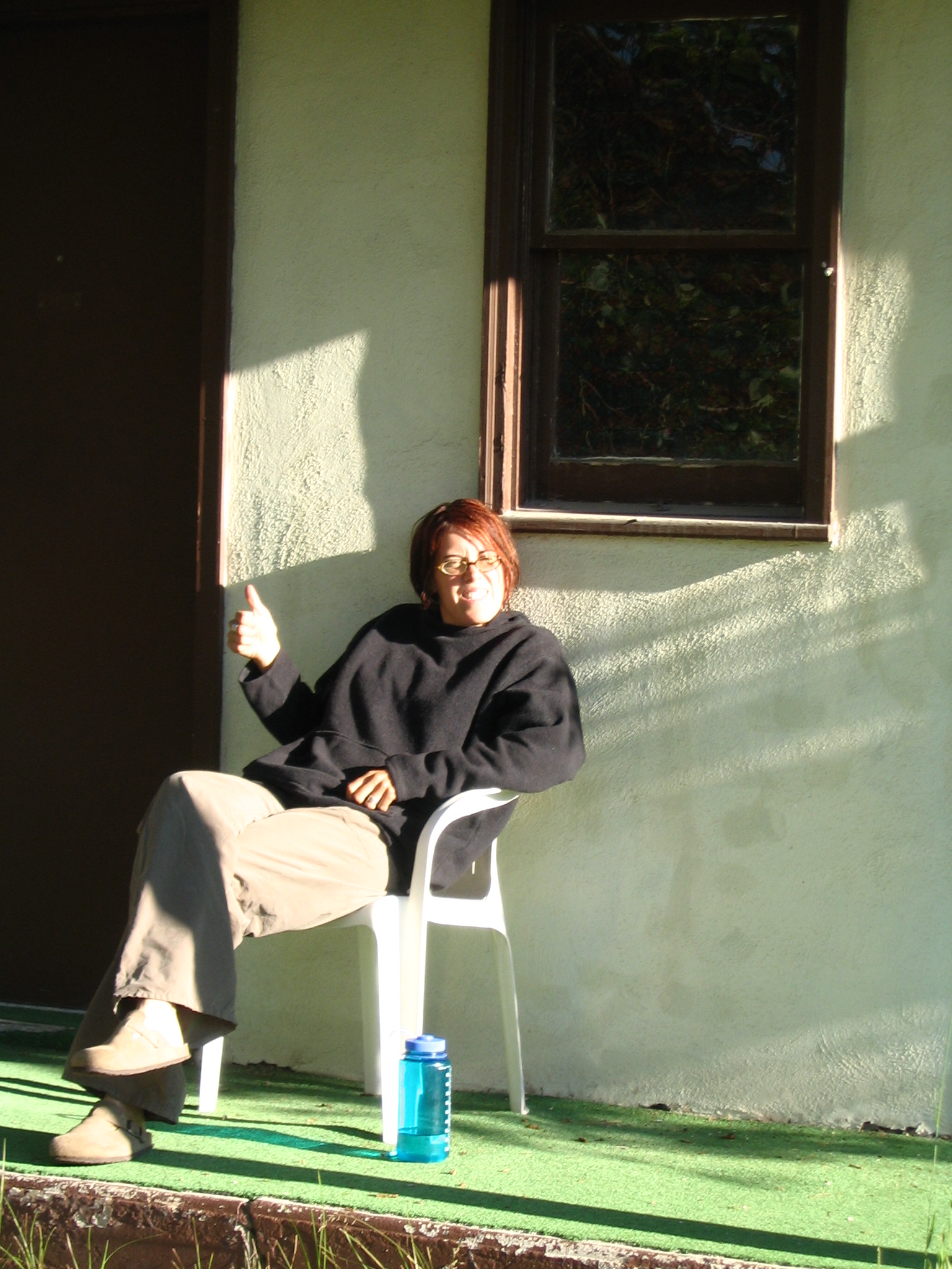
Custer is basically a tourist town, supporting Mt. Rushmore and the Black Hills. We stop in a music shop, and have a nice talk with the proprietor (Courtney was hoping to get a bit of bass practicing in, but alas, no bass.). This guy, Bill Seado (RR2, Box 213C, 57730), after retiring from the Air Force was a guide at Mt. Rushmore for a number of years, and then gave that up to open his shop. He wrote a little tourist book about Mt. Rushmore, from the point of view of an “old goat.” (His wife, Martie did the illustrations.) He gave us a free copy. After leaving there, we drove by the Crazy Horse site, pulled in, didn’t want to pay the $19.00 each, and turned around and came back out. Then it was over to Mt. Rushmore. But it was dusk, so it wasn’t quite as impressive as it might have been. We went back to Custer, and finally got a motel for $29.00, after Courtney knocked on the door of the proprietor’s house. There was no heat, but there were beds, and a good shower. But maybe best to avoid the American Presidents Motel in the future.
Tuesday, June 22 – Custer, SD to Council Bluffs, IA
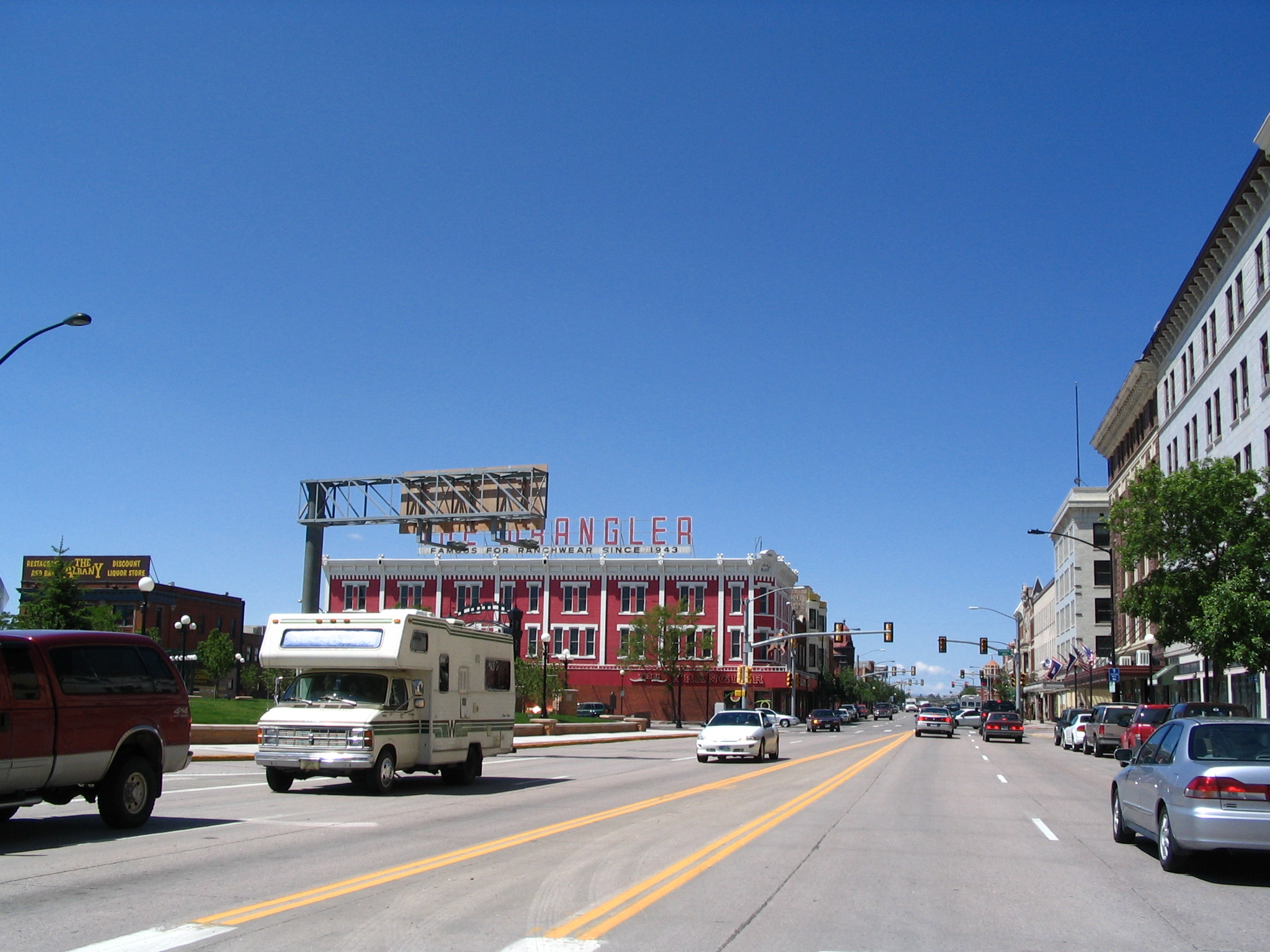
We decide to drive down to Greeley CO to see if we can locate Doug Tanner. Out of Custer, we take US385 south the SD89 to US18 over to US85 in Wyoming, and then head south on that route, choosing not to branch over to I-25. Very big sky country, with some cattle grazing, and not much else. Easy to go at 85 or so, except in the occasional little town. Stop for gas in Cheyenne, with Courtney talking with a woman, and looking inside her parked RV.
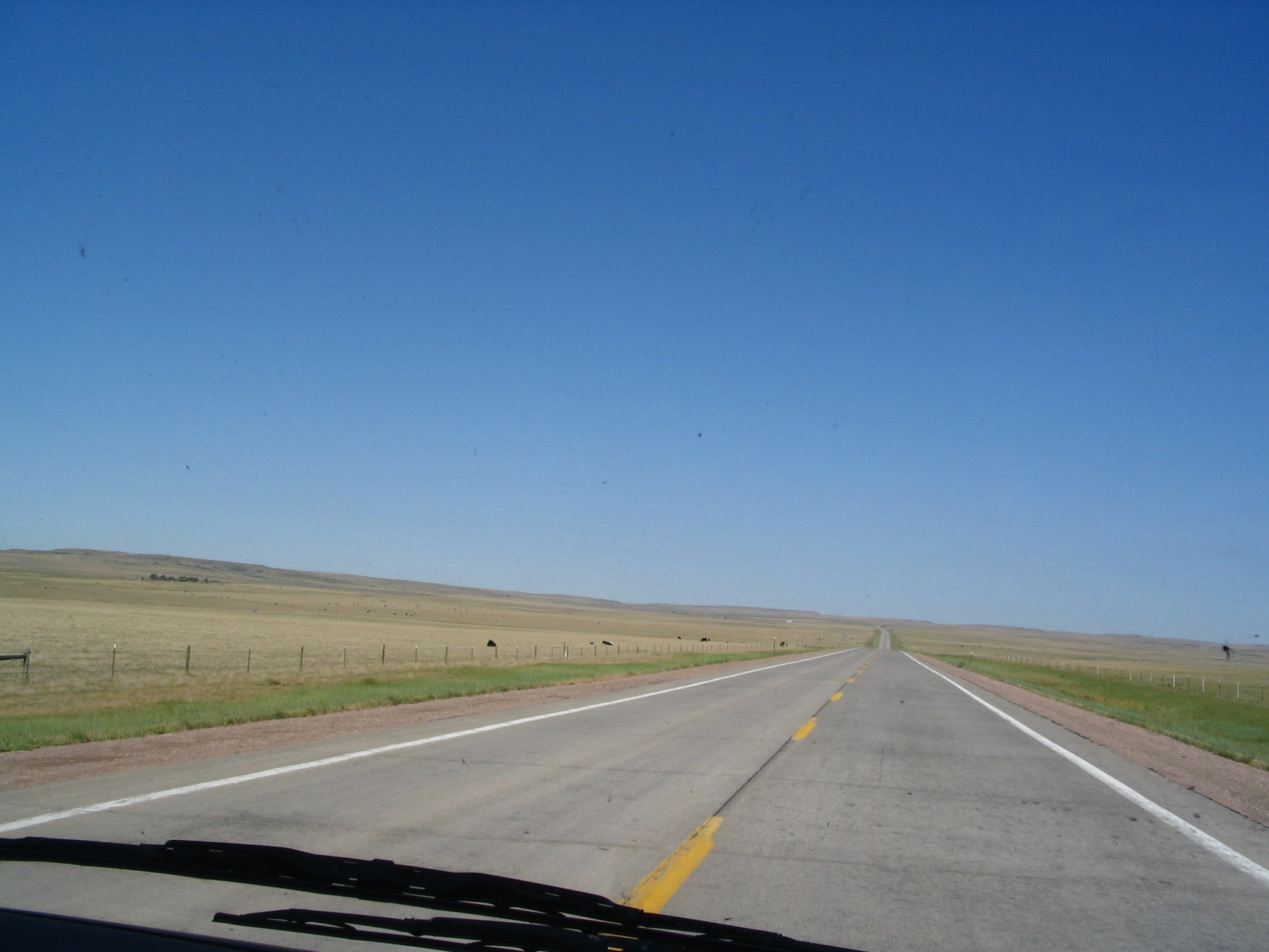
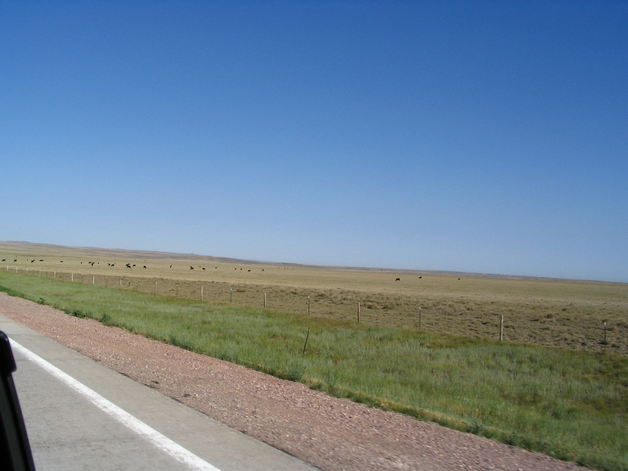
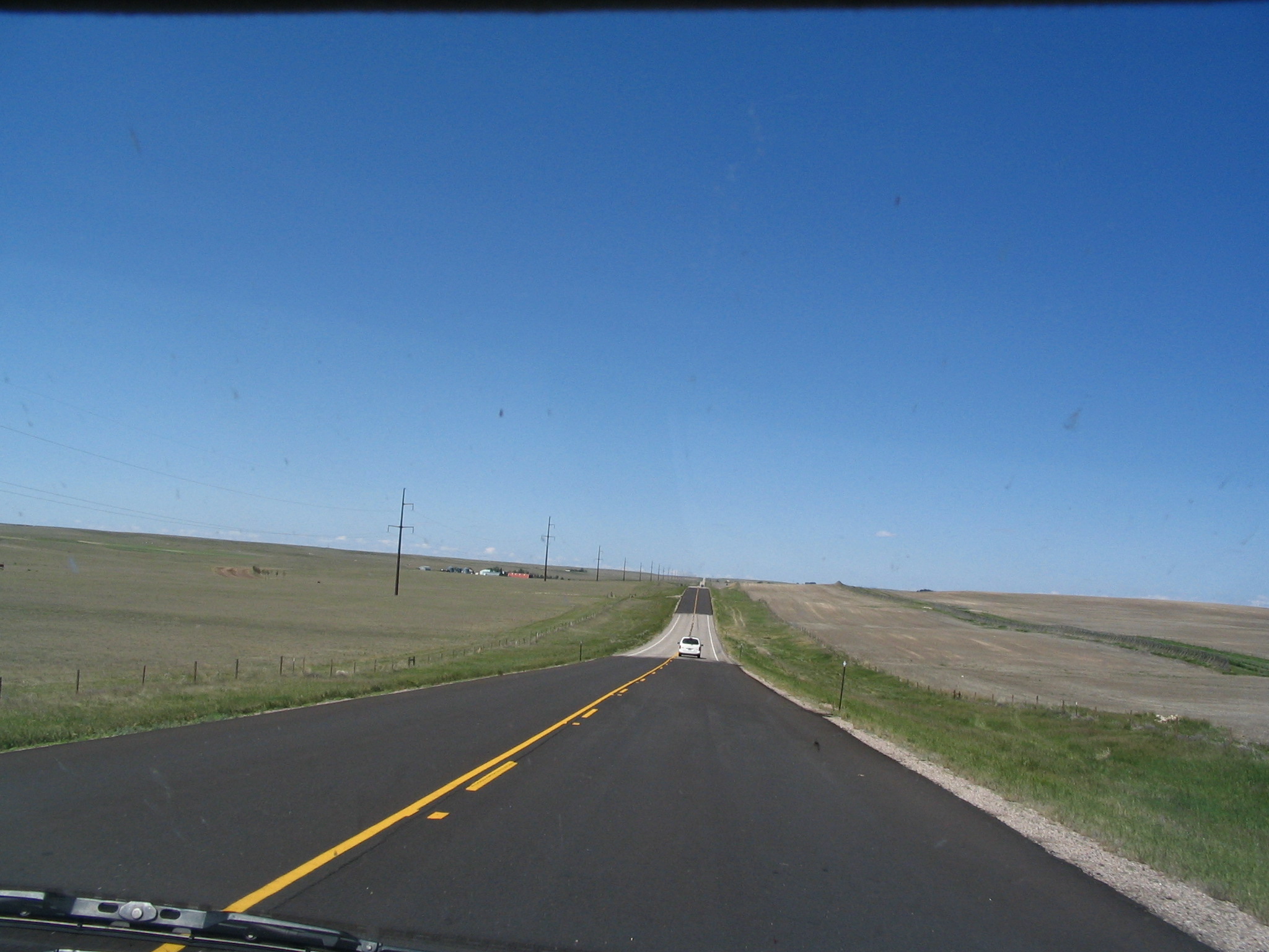
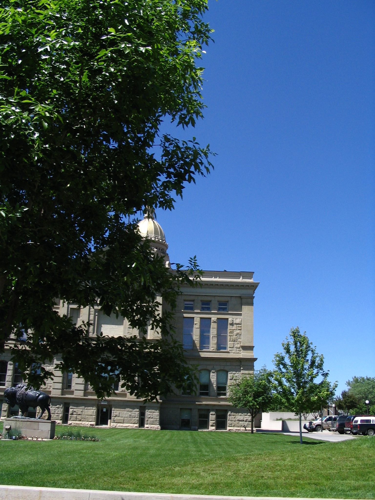
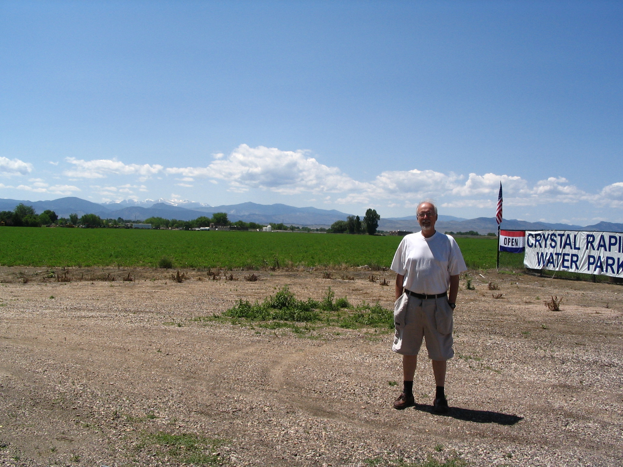
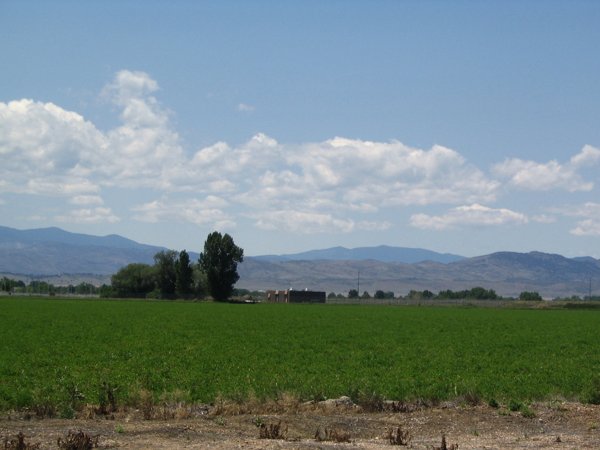
We then drive by the Capitol and out of Cheyenne and into Colorado on US85, going through a bunch of little grain elevator towns (somehow, there has been a shift from cattle to crops!) and into Greeley. However, try as we might we cannot reach Doug, although one person we talk to suggests that he moved “about a year ago” to Loveland. Ok. So west on US34, passing over I-25 to Loveland. More telephoning, but no success. So finally we give up, and have a picnic lunch in the shade in the parking lot of a water sport place. Halfway through, one of the employees comes out to remind us that we’re on private property, but otherwise he doesn’t bother us. We gaze at the Rockies to our west, probably looking directly at Estes Park. What a marvelous sight.
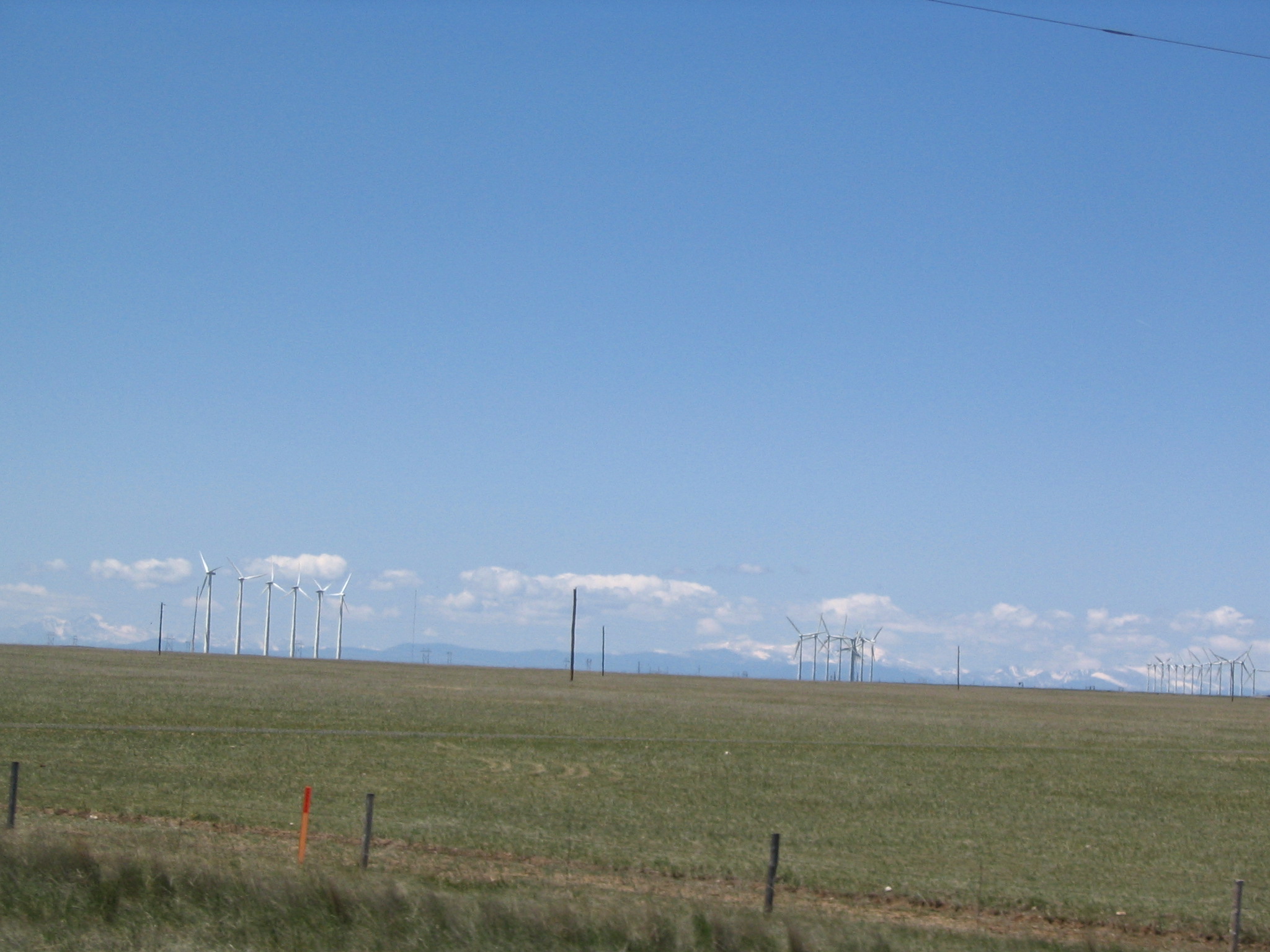

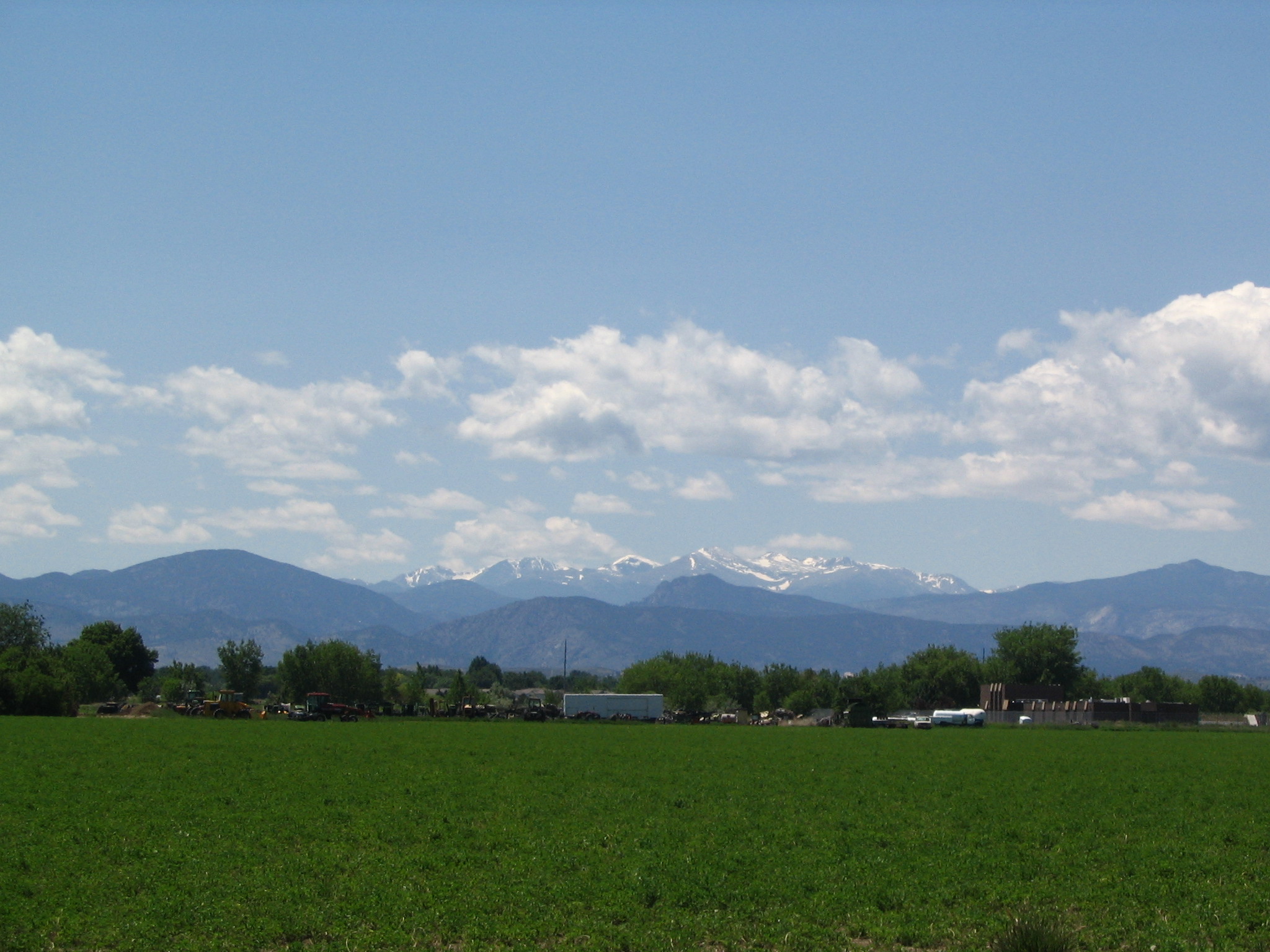
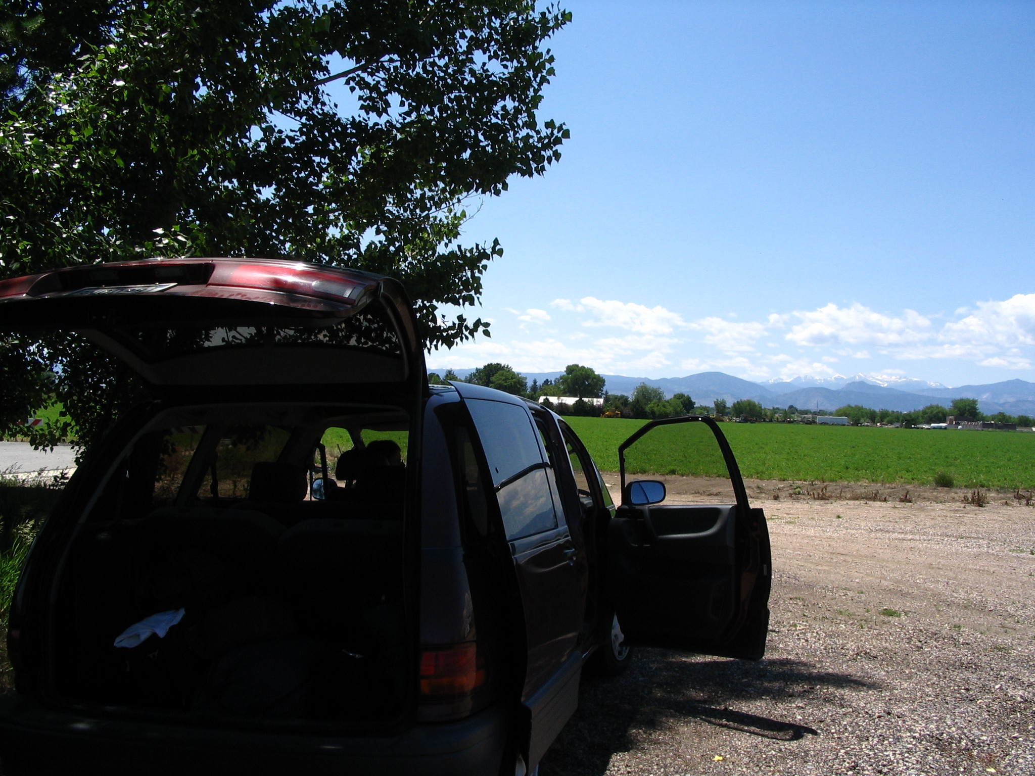
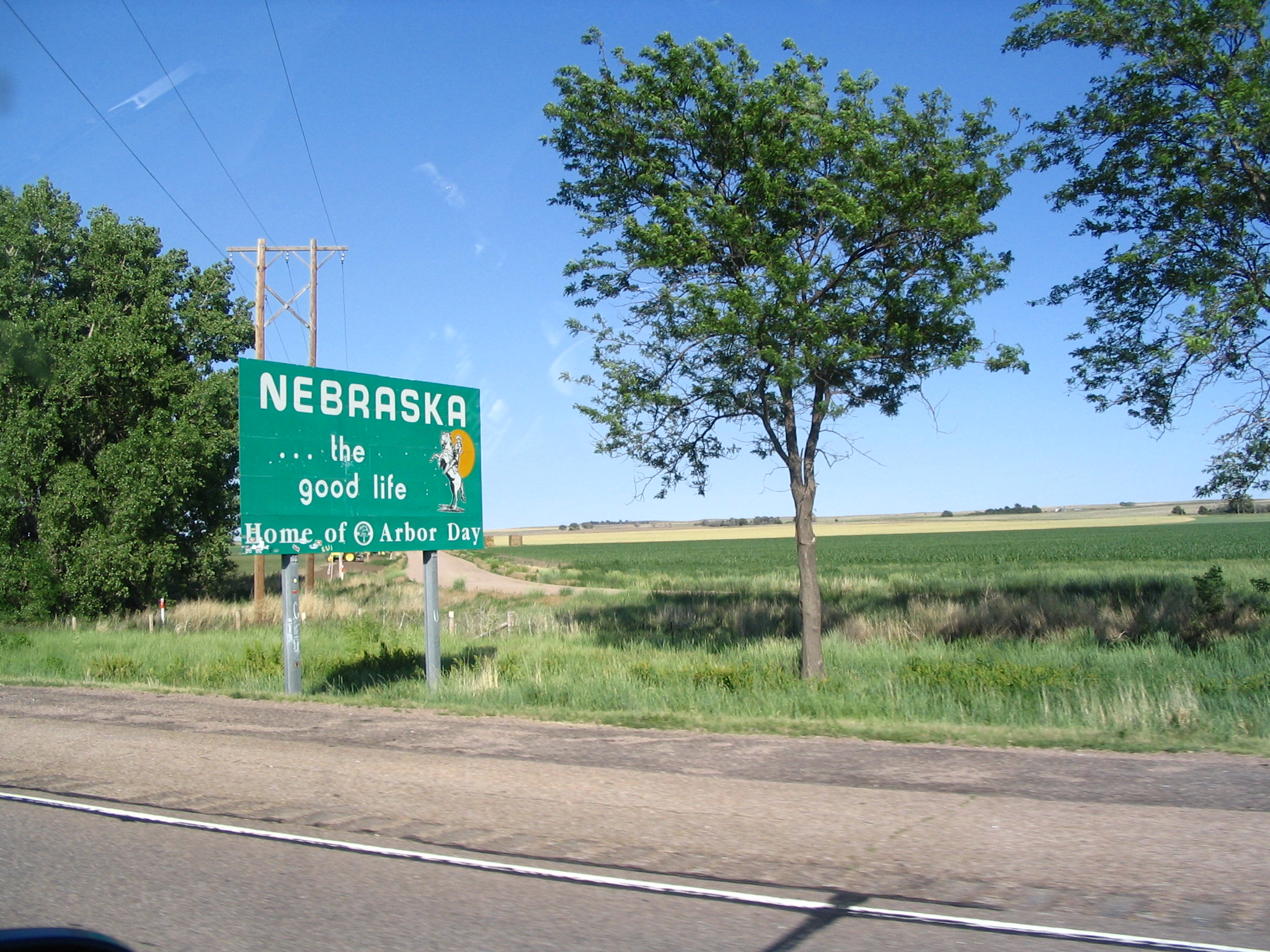
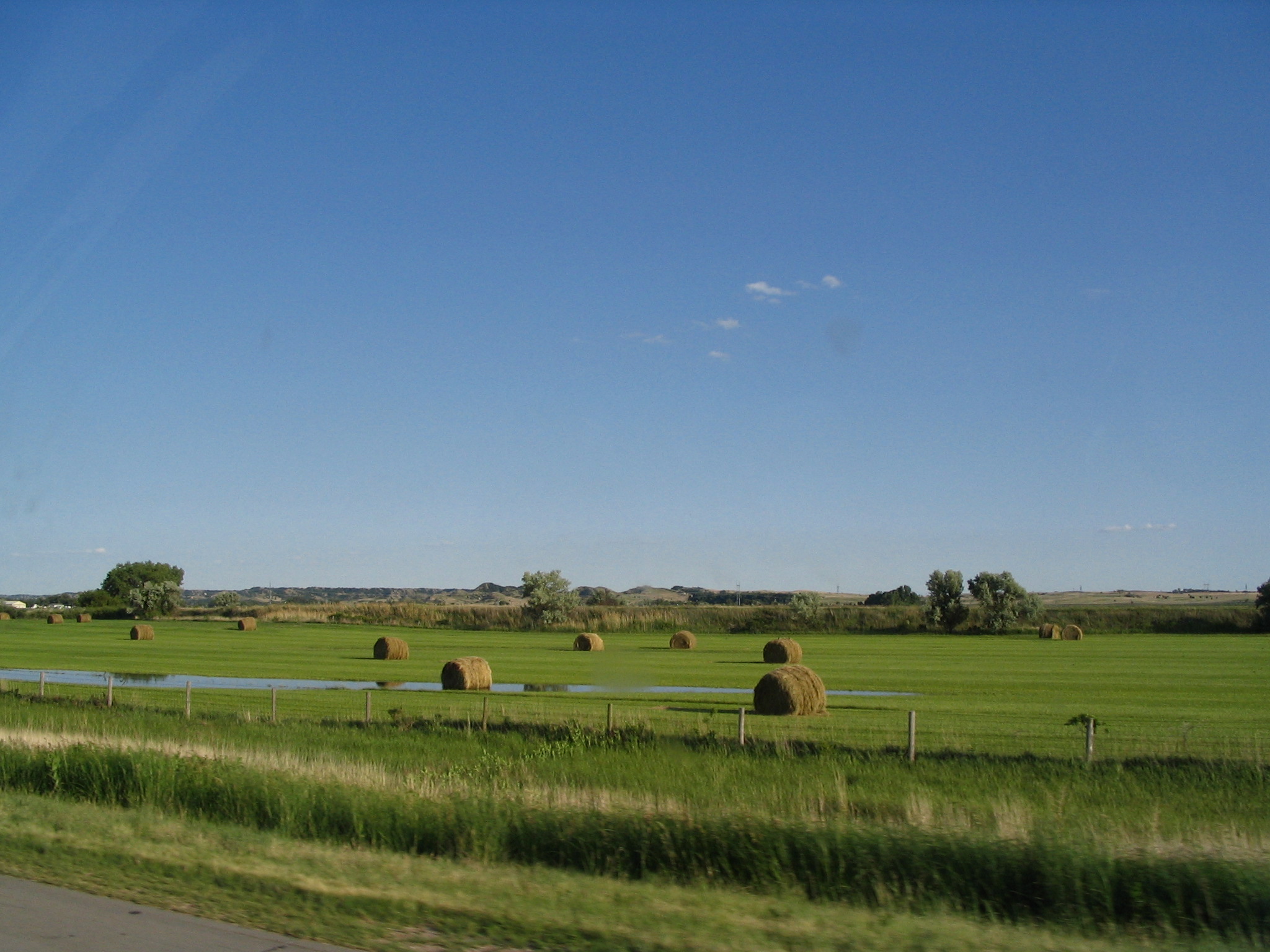
Once lunch is over, we turn around and head east. After about an hour on US34, it merges into I-76, and then I-76 for several hours until it merges with I-80 just over the border into Nebraska. The rest of the afternoon and evening is spent crossing Nebraska, arriving in the Omaha area about 10:00pm or so. We continue on over the Missouri River into Council Bluffs, IA. We get off at an exit or two into Iowa, and follow signs to a camping area. We are probably the only campers there, and we have a nice pine bough ground for our tent. A really wonderful camping area.
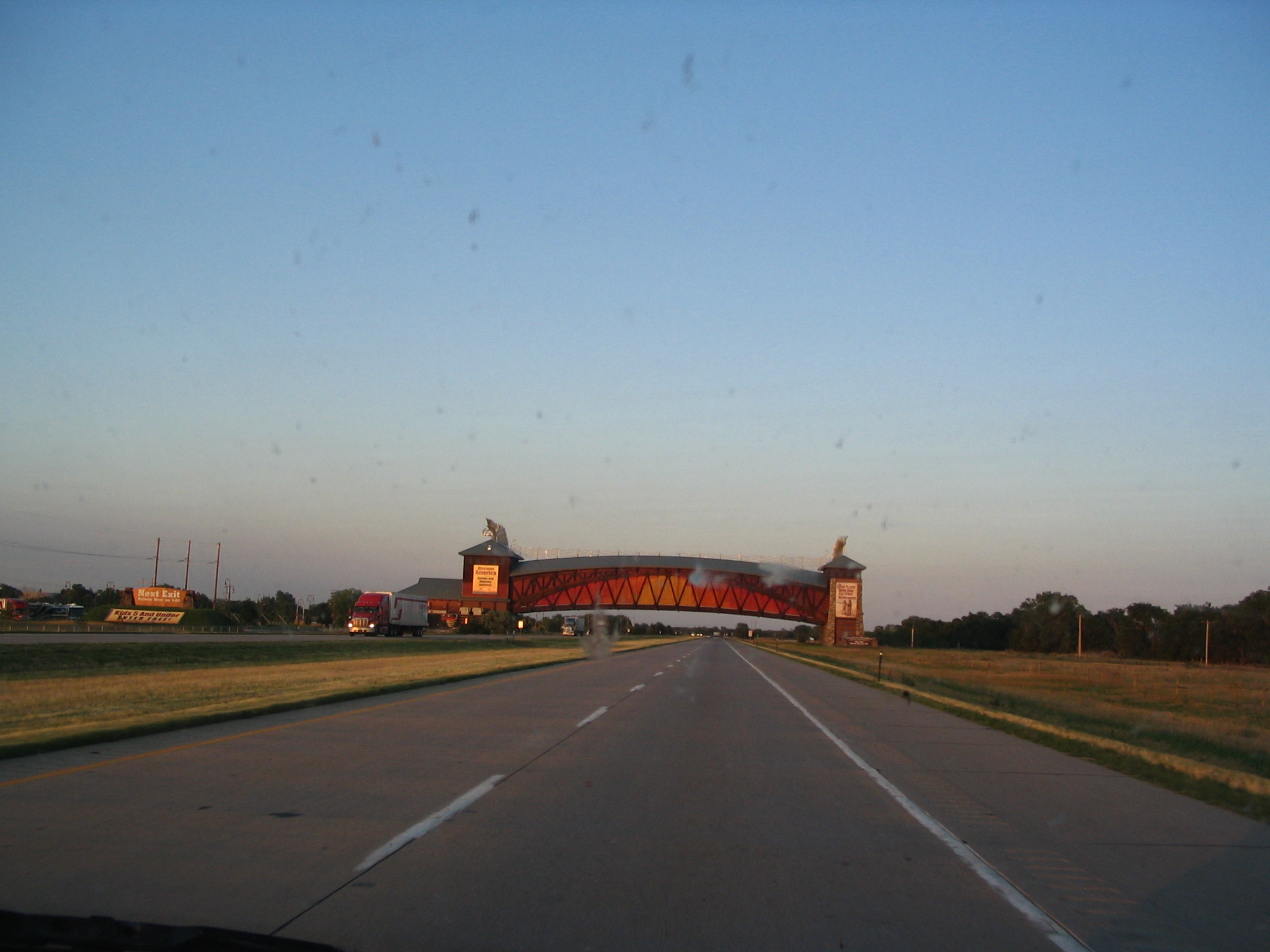
Wednesday, June 23 – Council Bluffs, IA to N. Bloomfield, OH
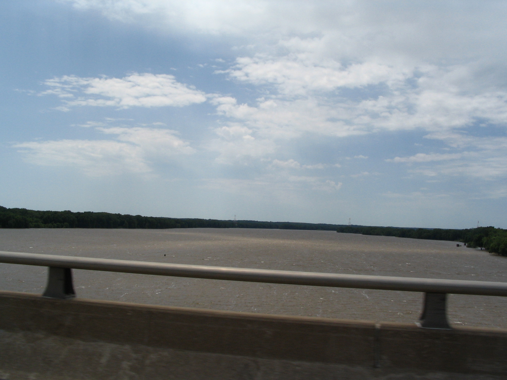
Breaking camp is uneventful, and we have breakfast, and set out for another day on I-80. We cross all of Iowa, stopping for gas at one point (milepost 205), where Courtney witnesses to a young man named Chaz. Also, prior to that, she witnessed to Rick and a Buddhist friend in Atlantic, IA. We take the I-280 south of Davenport to cross over to Rock Island, IL. We continue on across Illinois, and enter into the afternoon Chicago rush hour.
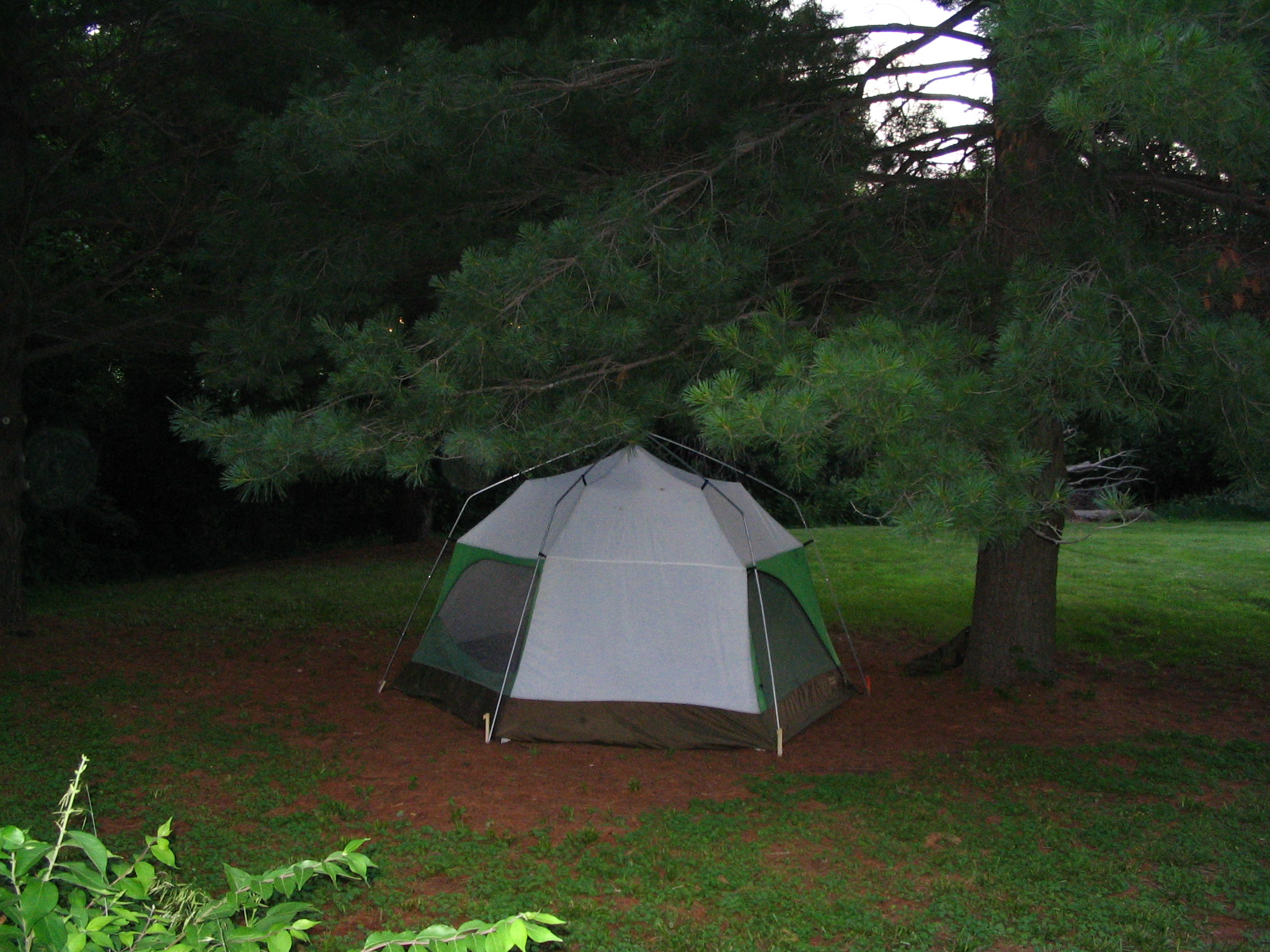
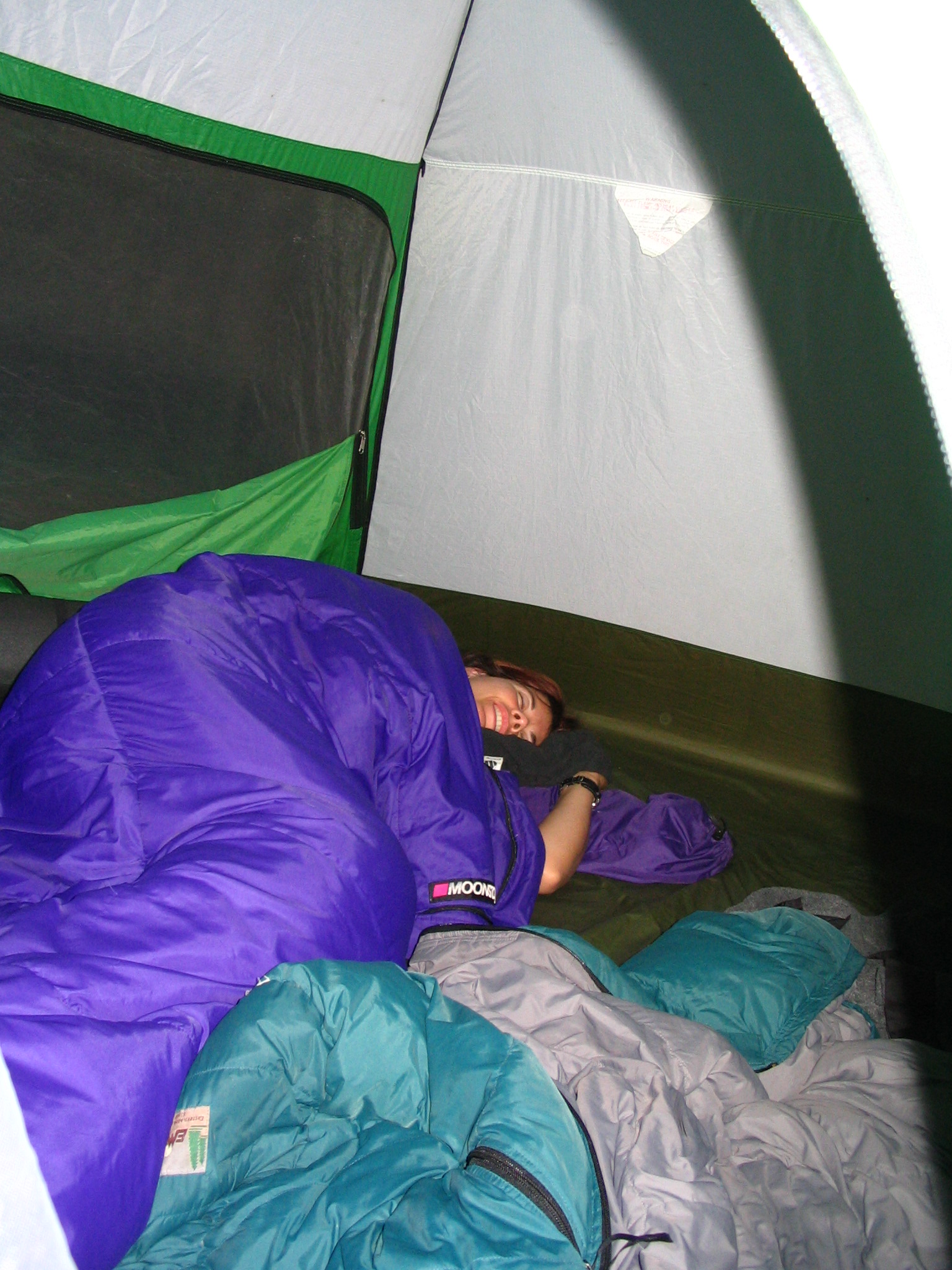
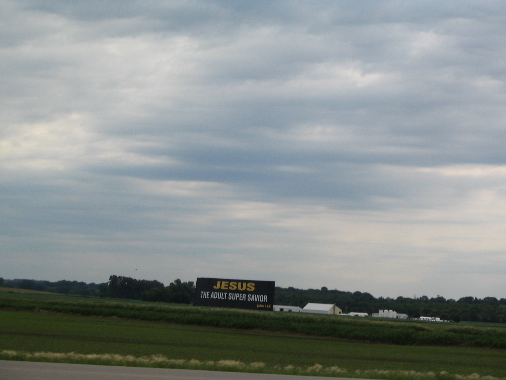
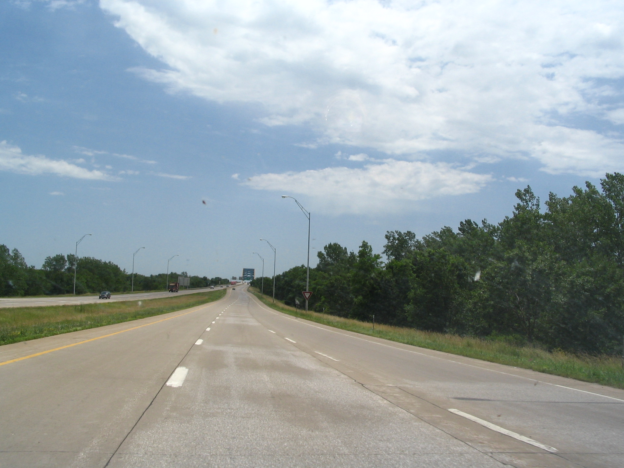
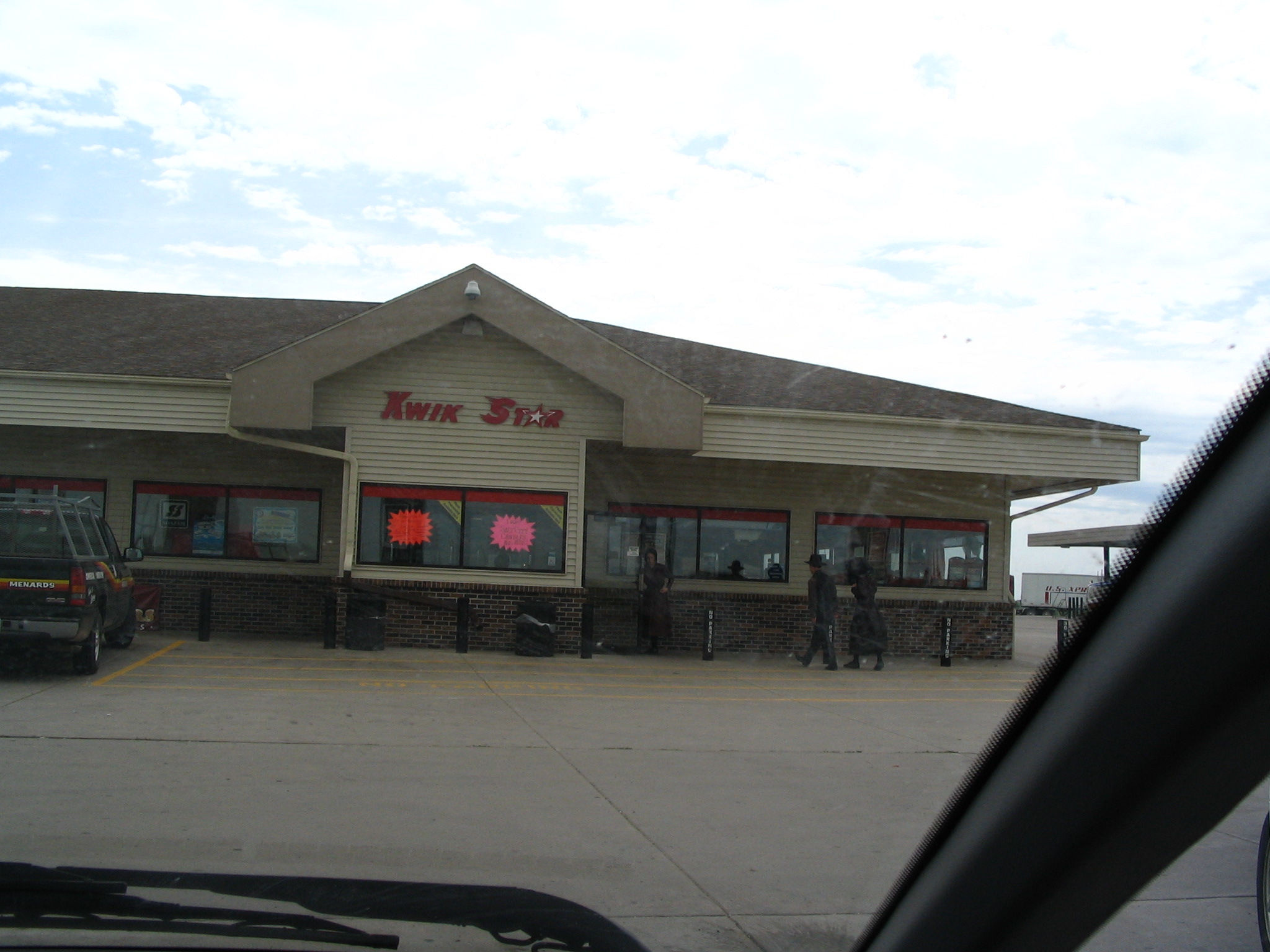
By about 5:00pm we’ve in Indiana, and exit for some gas. As we are about to leave, Courtney spots a waif of an older black man wandering away from the gas station. She puts together a lunch for him with the food we have left over. I take it to him, and try to say that this is from God, and ask if he a believer. He asks for a dollar, and I give him a two. We say goodbye. His name is – can’t remember. Back in the car, across Indiana. After Elkhart, another stop, this time, me for food. Courtney witnesses to a young teenaged boy, and he prays the sinner’s prayer with her. His name is Mark.
Then back in the car, by Toledo and headed toward NE Ohio. I try to reach Chip, but no answer. I call Enid, and tell her we’re trying to stay with Chip, but could we stay with her if it doesn’t work out? “Yes”, she says, delighted. Then she gives the phone to Darrell, and I have a wonderful conversation with him for the next 20 minutes. Around 10:30, I try Chip again, and this time I get through. He has guests from Houston, but insists that we stay. So I call Enid and tell her that we won’t be stopping by, and she is gracious about it.
We continue on until exit 209 then up OH5 toward Warren, following the by-pass over to OH45 and Mahoning Road. Up OH45 toward N. Bloomfield. See the sign, come to the OH87 intersection. “Within a mile and a half”, I say to Courtney, at 12:05am. To make a long story short, for the next hour and fifteen, we go back and forth on 45, between 87 and US322 in Orwell, and cannot find Chip’s turnoff. And we can’t get through by cell phone, because we’re in Analog Roam, and the calls don’t go through. Finally leave a message from a pay phone in Orwell at 1:20, and go find a field, park the car off of OH45, and sleep in it. For some reason, God prevented us from staying with Chip tonight.
Thursday, June 24 – N. Bloomfield, OH to Catskill, NY
As we are getting out of the car and preparing to go back to the pay phone, here comes a car into the field where we are. Oh, no! The owner. What are we going to say? But it’s not the owner; it’s Kim! Coming with two plums!! What a joy to see her, especially under these conditions. How did she find us?? It turns out that Chip’s turnoff is before the OH87 intersection, not after! It also turns out that the property we stayed on belonged to fight promoter Don King. Oh my. Glad he didn’t discover us!
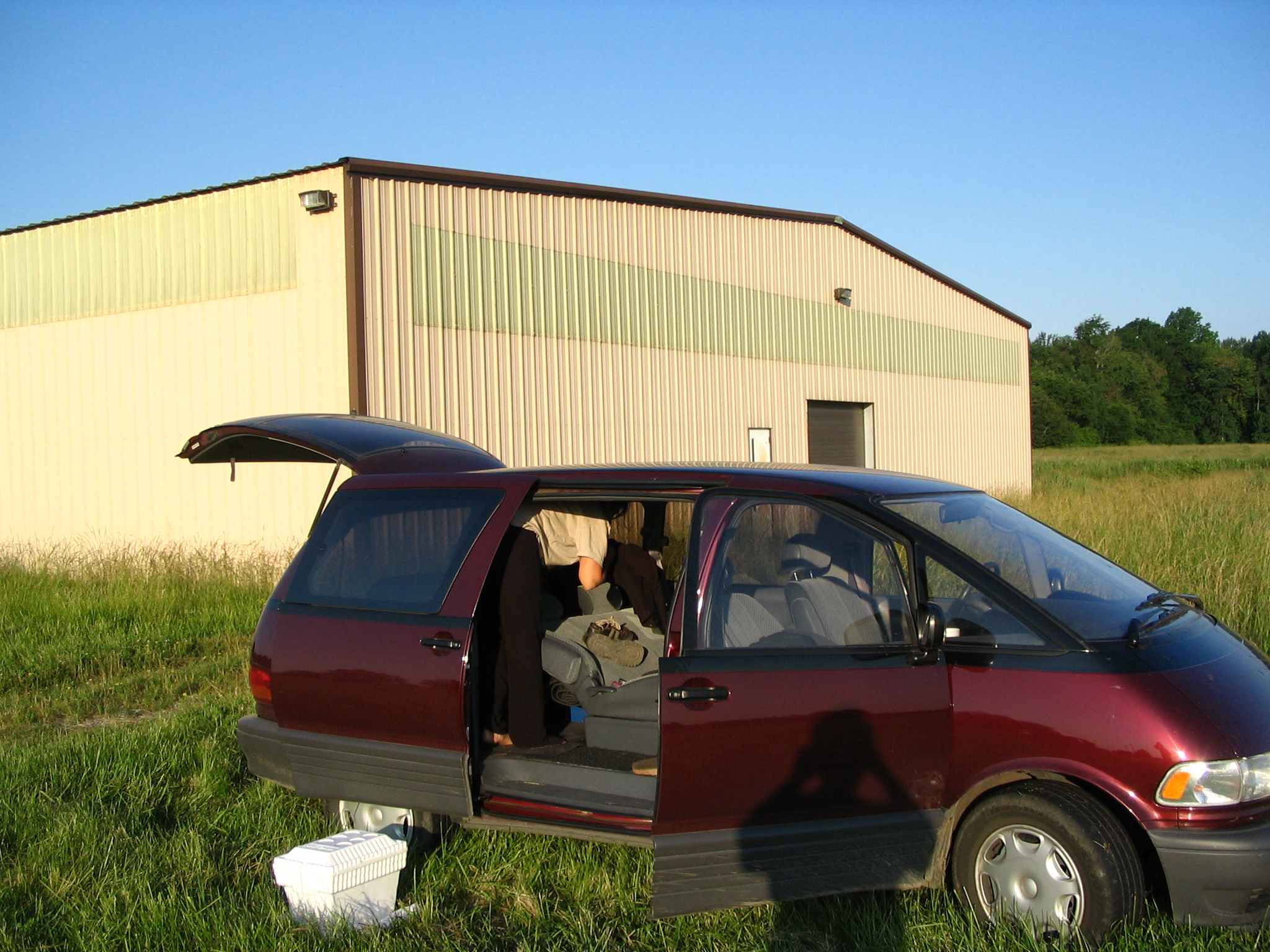
We follow Kim back to Chip’s, and have a great time for the next hour or so, talking, eating breakfast, and taking pictures. When ready to leave, we head up OH45 to I-90, and then take I-90 by Erie, and to the NY Thruway.
Courtney express interest in taking the southern route, so we get off at the first exit (Westfield) and head down to Lake Chautauqua on NY394. In the town, the road is under construction. We pass some construction workers having their lunch, and a mile or two down the road, Courtney feels that we should go back so that she can talk to the men. We do so, park on a side street, and she witnesses to them while I try to support her in prayer. After that we head on down to I-86, and turn east along the Southern Tier.
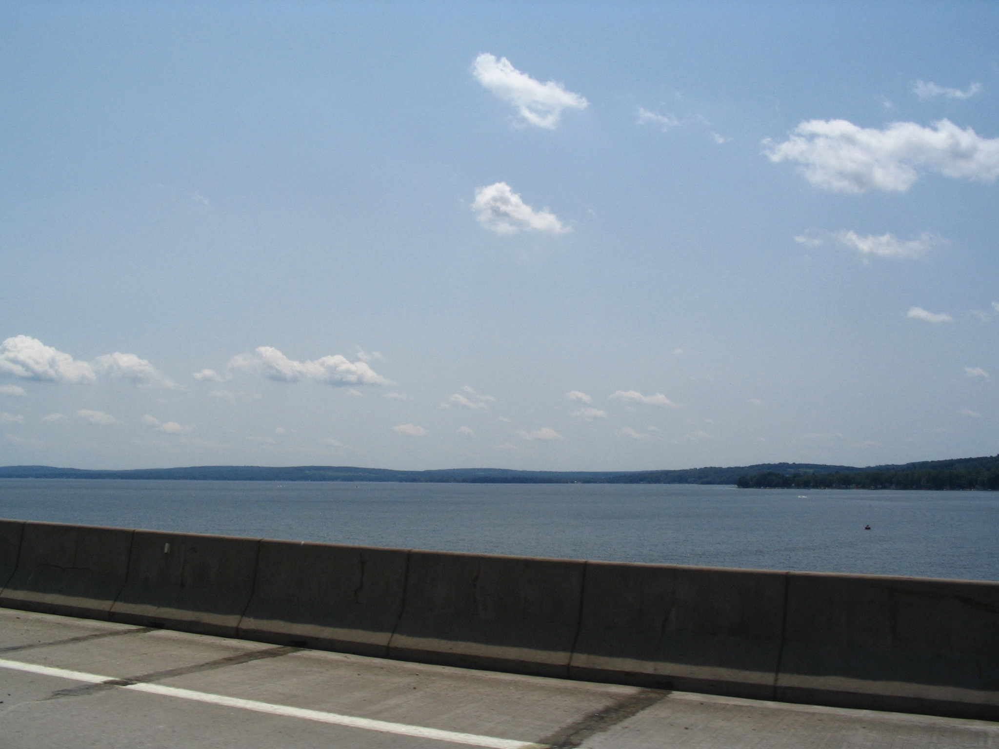
We pass through the Indian Territory where there are few dwellings, and onward toward Elmira and ultimately Binghamton. In Binghamton we take I-88 for a few miles, and then get off at the NY206 exit. There we stop at a convenience store, and Courtney witnesses to some bikers. We leave there and head on NY206 toward the Catskill State Park. We go through a couple towns, and then turn left on NY30, driving for quite a few miles next to the Pepacton Reservoir (water source for NYC), a beautiful drive. We arrive at NY28 and take a right and then left on NY214 to NY23A. There we take a right into Tannersville.

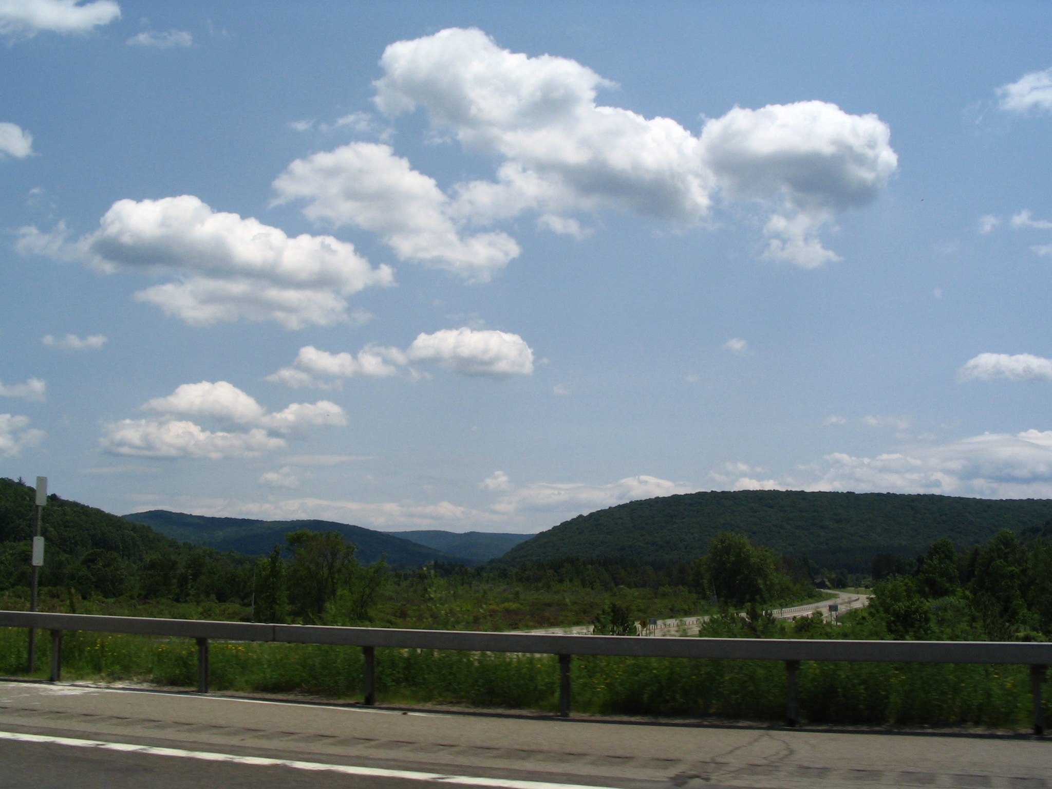
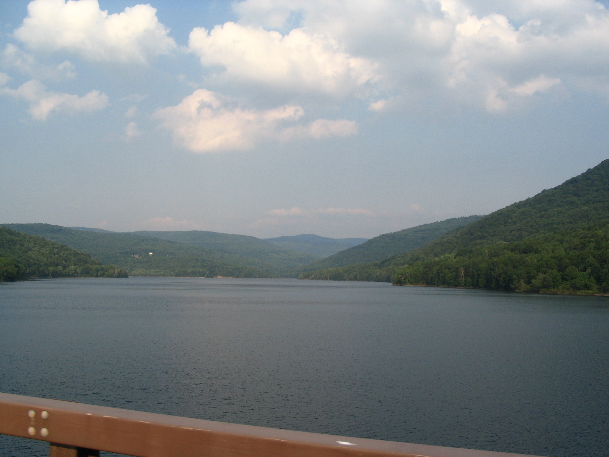
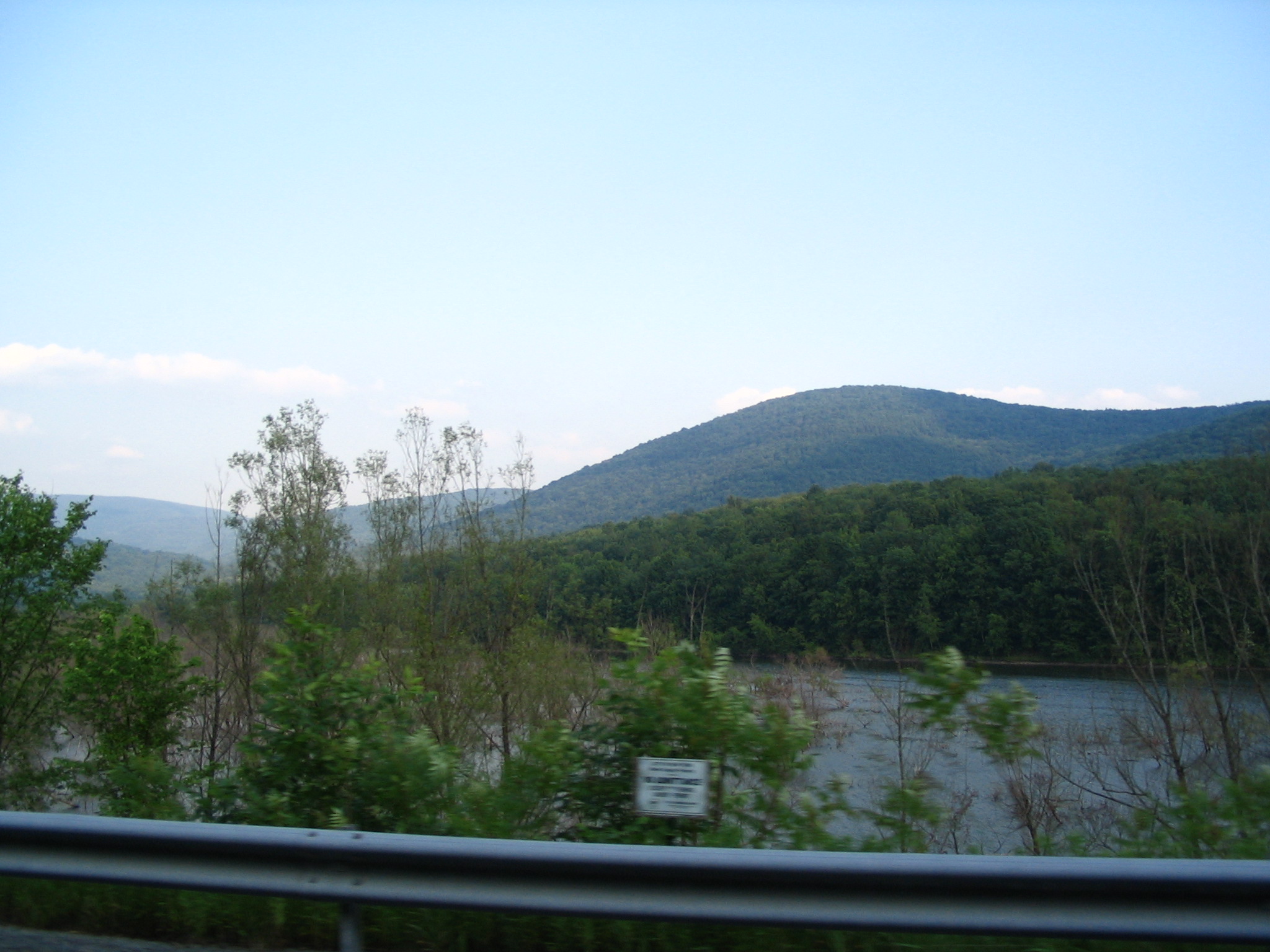
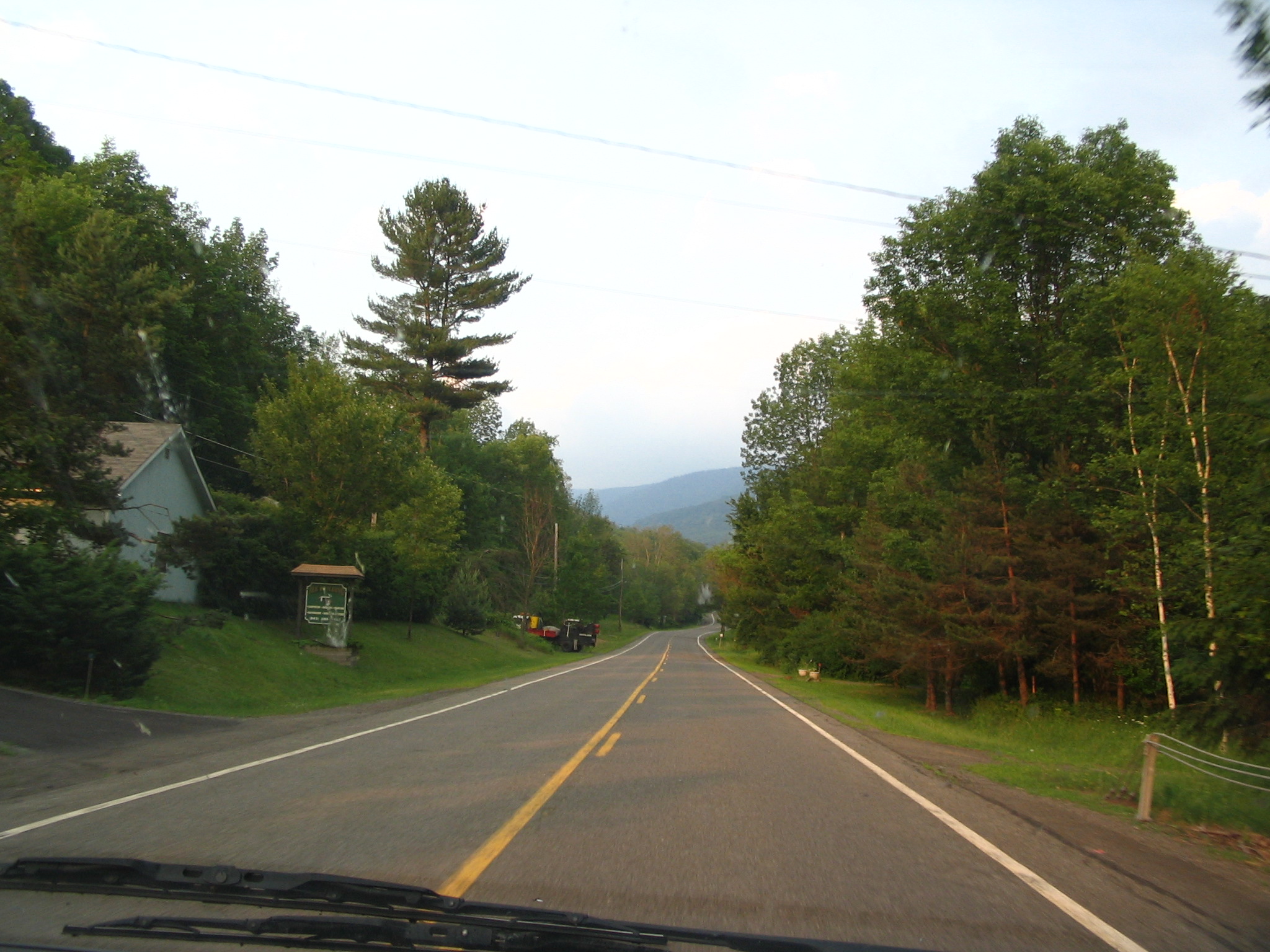
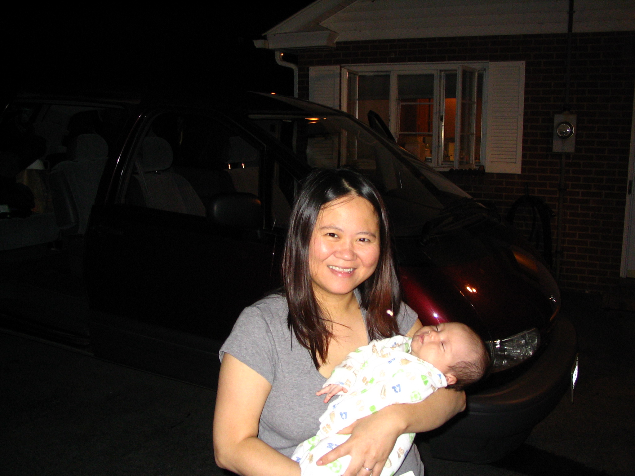
We stop there to find a restaurant, and Courtney stops to witness to some young people. She ends up talking for a while for “Crispy”, who seems open. We then eat sub sandwiches at a pizza shop. We leave this vacation town on 23A, winding down out of the Park and into Catskill. Before showing up at Barry and Nikki’s, we go to a car wash and do our best to clean the car, inside and out. We finally arrive at their house around 10:00pm. After a lot of talk, and seeing their new baby, we sit down for a light meal, and then off to bed. Mission accomplished!
Friday, June 25 – Catskill, NY to home
Barry has offered to give me a ride to the Albany bus station – he works in the State office building a few block away. He loans me a suitcase for all the extra loot I’m carrying back with me. Basically nothing to eat, the bus ride is uneventful, and I have fun with a back pack, and three rollers, one of which piggy-backs on Barry’s suitcase. I take the elevators down to the Red Line, and Vonnie meets me at Wollaston on the parking lot side. It’s good to be home!